Plizio Visual Lab
Mihăilecu Peak
Weather…
Water temperature…
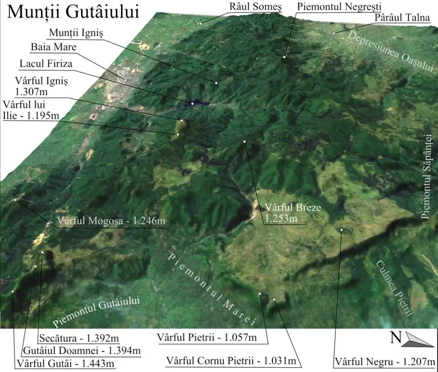
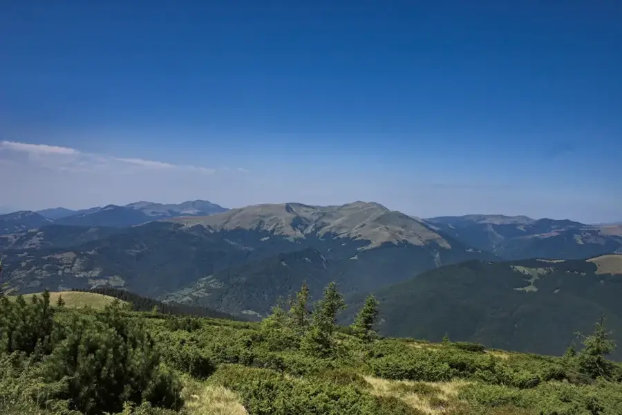
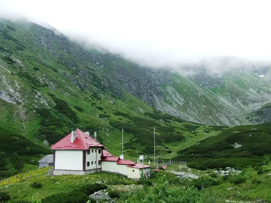
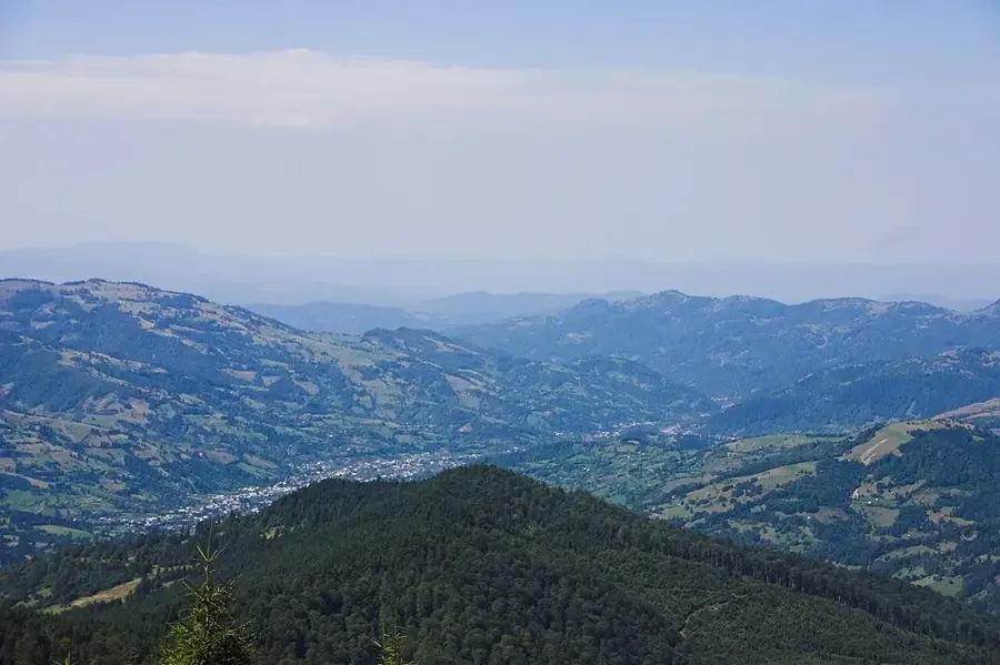
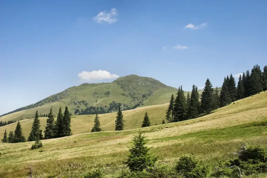
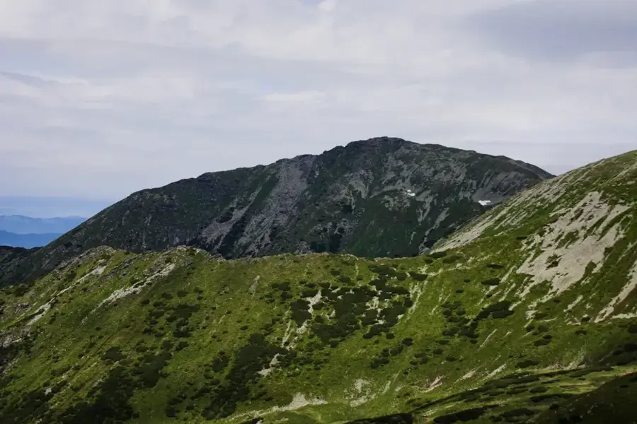
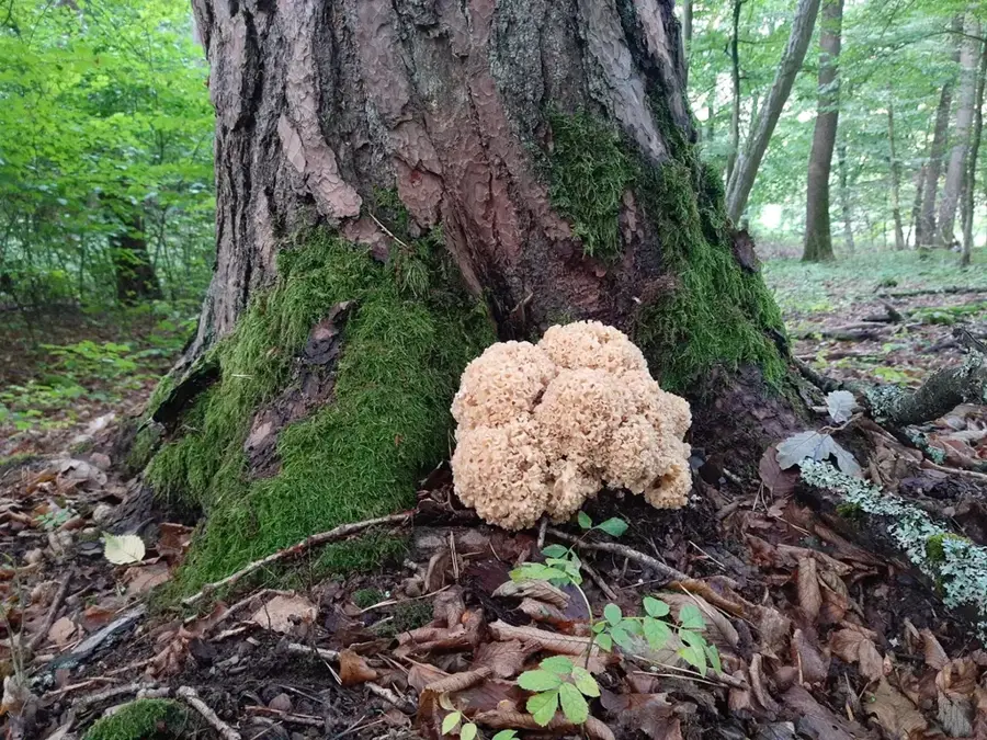
Mihăilecu Peak, rising to an elevation of 1918 meters, is the second-highest peak in the Fărcău-Mihailecu massif of the Maramureș Mountains. Together with the neighboring Fărcău, it forms an impressive high-altitude complex separated by the saddle containing the glacial Lake Vinderel. Geologically, Mihăilecu is composed of crystalline schists, which give it a more rugged and rocky appearance, particularly on its northern faces. The geomorphology of the peak is a direct result of intense Pleistocene glaciation, evidenced by well-defined cirques and sharp rocky ridges. The region is notable for its remoteness and the traditional alpine pastoralism of the local Hutsul people, who graze their flocks on these high pastures during the summer. The flora is typical of the Carpathian alpine zone, featuring extensive mats of moss and lichen along with rare species of mountain carnations. From the summit of Mihăilecu, hikers are treated to a spectacular view of Lake Vinderel and the Pop Ivan massif on the Ukrainian border. Trails to this peak are considered a low-key spot for nature lovers, offering a journey through almost untouched wilderness. The climate here is harsh, characterized by long winters and frequent fogs that lend a mystical atmosphere to the landscape.
- Location: Maramureș, Romania
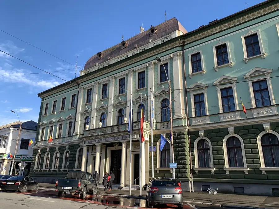
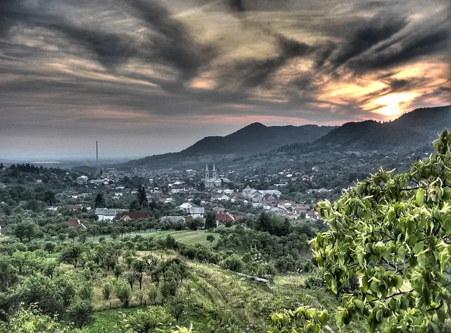
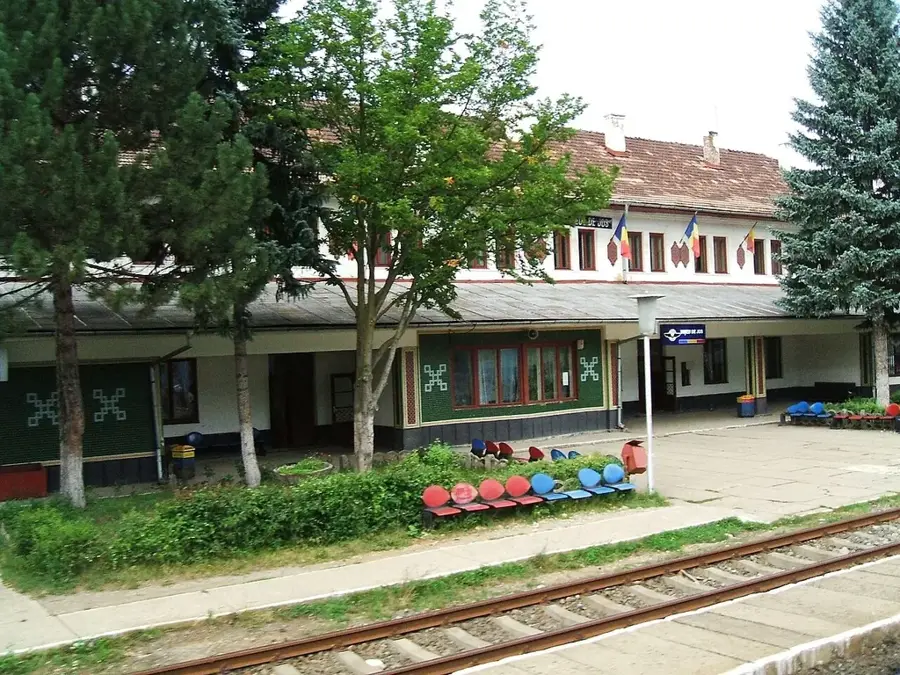
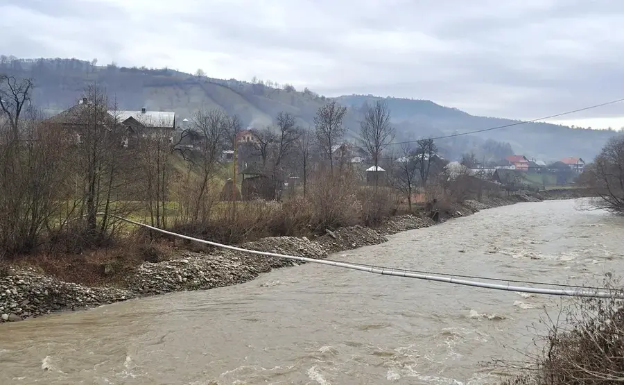
- Nearby: Poienile de sub Munte (11 km)
Best time to visit & climate
The most pleasant time to visit is Jun–Aug.
| Jan | Feb | Mar | Apr | May | Jun | Jul | Aug | Sep | Oct | Nov | Dec | |
|---|---|---|---|---|---|---|---|---|---|---|---|---|
| Avg °C | -7 | -5 | -1 | 6 | 11 | 15 | 17 | 17 | 12 | 6 | 1 | -4 |
| Rain mm | 51 | 51 | 65 | 66 | 114 | 125 | 120 | 80 | 76 | 69 | 56 | 55 |
📋 Practical info
Geography
Facts
- Mihăilecu Peak stands at 1918 meters and is part of the highest massif in the Maramureș range.
- It forms a geomorphological twin system with the nearby Fărcău Peak.
- Lake Vinderel is situated exactly in the mountain saddle between Mihăilecu and Fărcău.
- Crystalline schists are the dominant geological feature of the peak's rugged landscape.
- The summit offers one of the clearest vantage points for observing the Pop Ivan peak in Ukraine.
- The rare Carpathian bellflower can be found growing in the rocky crevices of Mihăilecu.
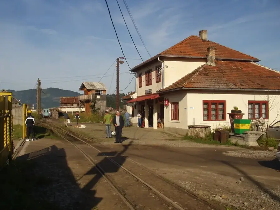
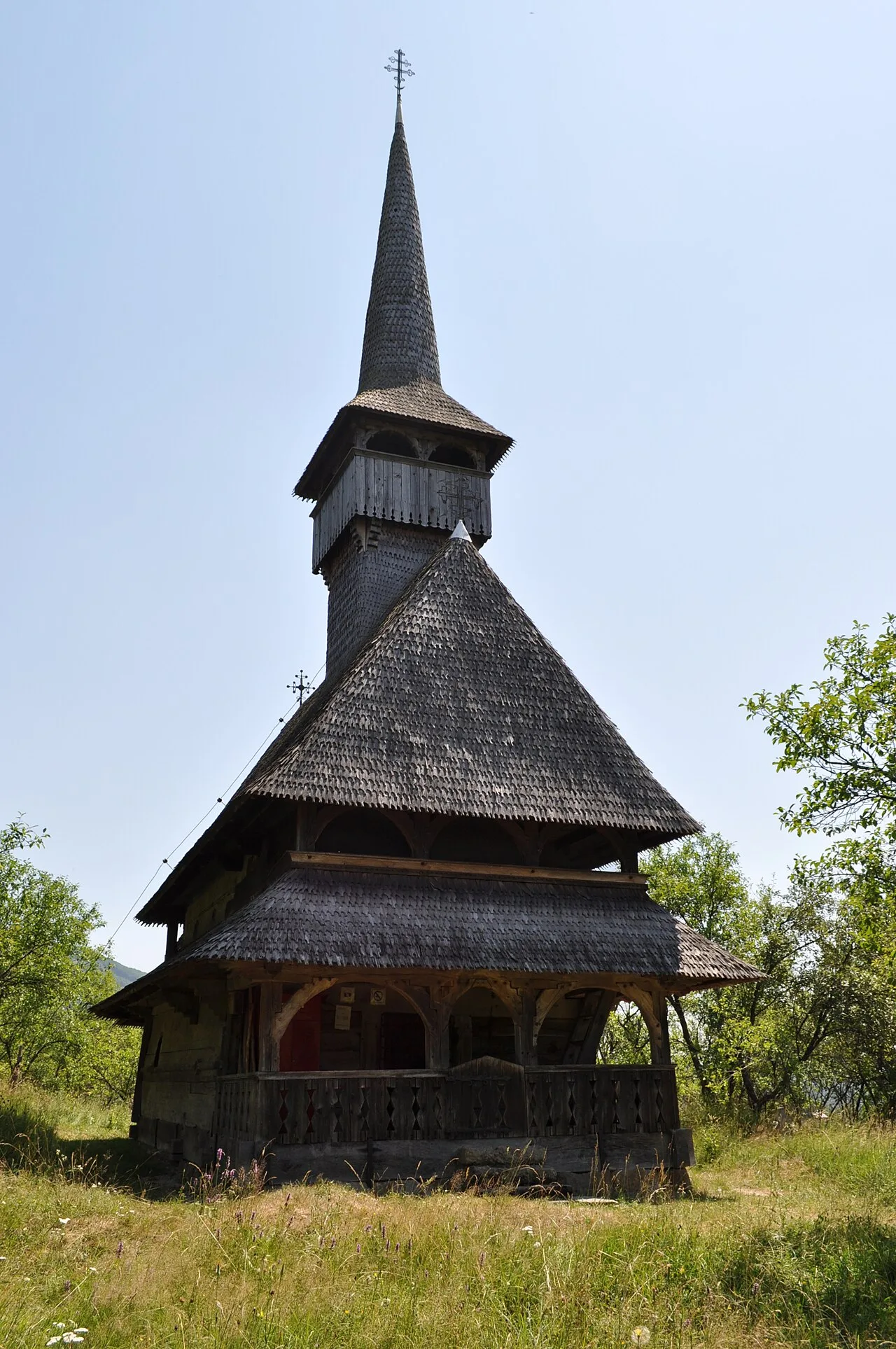
Explore nearby
Notable places around
Route planner — Car & Motorhome
Where do you start? We build the route here, with stops and country notes along the way.
© OpenStreetMap contributors · OpenRouteService
Sights nearby
Frequently asked questions
Does Mihăilecu belong to the same massif as Farcău?
How high is Mihăilecu?
How do you reach the summit?
Are there rare plants there?
What is the best season for photography?
Mihăilecu Peak: where is it located?
Mihăilecu Peak: when is the best time to visit?
Mihăilecu Peak: why is it worth visiting?

Nearby cities


History & landmarks

Nature
More places