Plizio Visual Lab
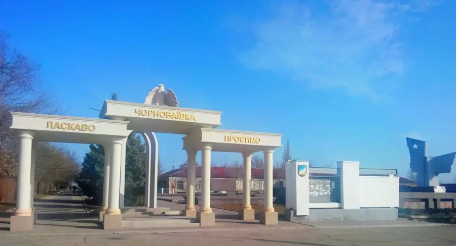
Chornobaivka
ℹ️Practical info — Chornobaivka
▾
🌤 Weather — 5 days
📍 Nearby
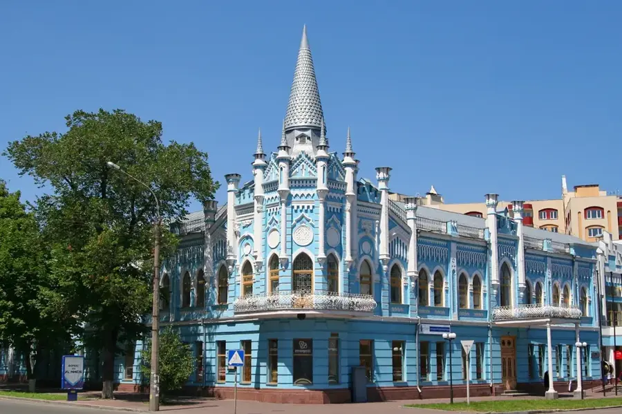
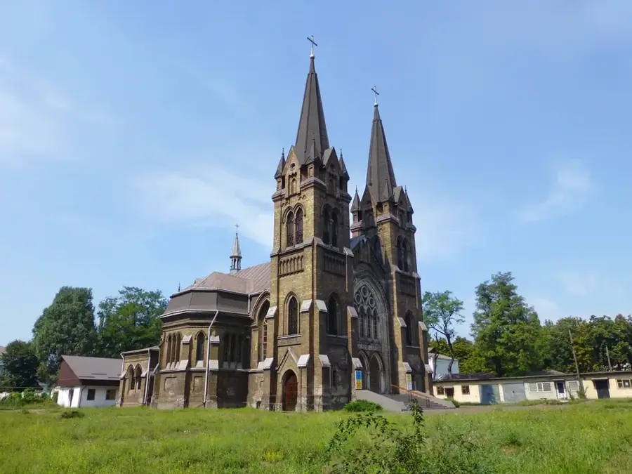
Sights nearby
💡 Tips
- Note that Chornobaivka is a symbol of Ukrainian resilience; active travel is restricted due to ongoing conflict.
- The village is closely connected to Kherson, sharing its transport network and local markets.
- During peaceful times, local roads provide easy access to the vast southern steppes and agricultural fields.
- Always check the latest travel advisories and security updates before planning a visit to the region.
🍽 Food
The region is legendary across Ukraine for producing the sweetest and largest watermelons in late summer.
A rich, spirited version of the classic soup, often made with locally grown tomatoes.
Traditional dumplings filled with potatoes or cherries, a staple of local comfort food.
🛍 Shopping · 🧘 Quiet spots
In peaceful times, the village markets offer excellent local produce, including fresh vegetables and sunflower oil.
Items featuring the Chornobaivka name have become popular symbols of resilience across the country.
The open fields surrounding the village offer wide horizons and a sense of the vast Ukrainian south.
Quiet spots in the village dedicated to local history and the community's enduring spirit.
Water temperature…
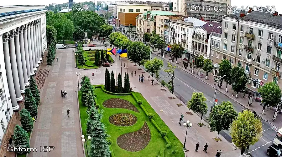
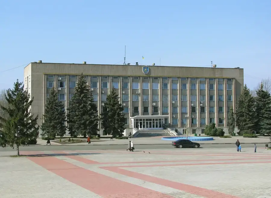
Chornobaivka, a large village in the Kherson Raion of Kherson Oblast, has become widely known globally due to events during the 2022 Russian invasion of Ukraine. Located just northwest of the regional capital Kherson, its main landmark is the Kherson International Airport. This airfield became a focal point of intense military operations and has turned Chornobaivka into a meme and a symbol of Ukrainian fortitude and resistance. Before these events, it was a typical agricultural settlement in the fertile steppes of Southern Ukraine, focused on farming. The landscape is characterized by wide-open plains and agricultural fields. For anyone interested in contemporary history and the resilience of the Ukrainian people, the story of Chornobaivka is compelling. While currently not a tourist destination due to the ongoing conflict, its name is etched into the modern history of Ukraine. It is accessible via the M14 highway.
- Location: Ukraine
- Top sights: MiG-19PM · To the Defenders of the Fatherland
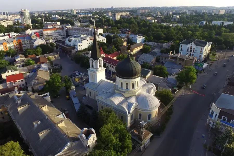
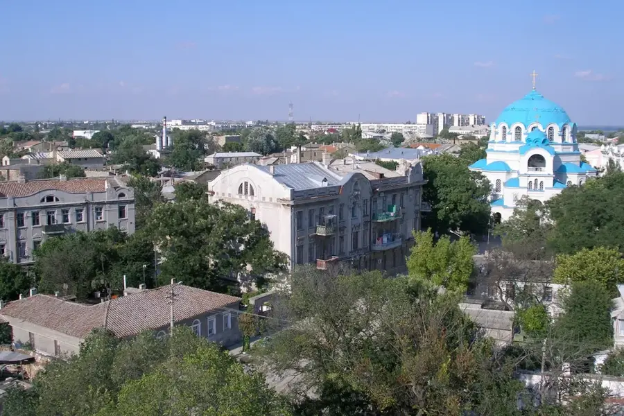
- Nearby: Kherson (10 km)
- Population: ~8.954
Best time to visit & climate
The most pleasant time to visit is Jun, Aug, Sep.
| Jan | Feb | Mar | Apr | May | Jun | Jul | Aug | Sep | Oct | Nov | Dec | |
|---|---|---|---|---|---|---|---|---|---|---|---|---|
| Avg °C | -1 | 0 | 5 | 11 | 18 | 22 | 25 | 25 | 19 | 12 | 6 | 1 |
| Rain mm | 42 | 34 | 33 | 27 | 43 | 48 | 39 | 25 | 33 | 39 | 34 | 34 |
Geography
Facts
- Located in Kherson Oblast, Ukraine.
- Hosts Kherson International Airport.
- Symbol of Ukrainian resistance since 2022.
- Became a famous internet meme.
- Historically an agricultural village.
- Situated in the southern steppe region.
- Located northwest of Kherson city.
- A site of major recent historical events.
Explore nearby
Notable places around
Route planner — Car & Motorhome
Where do you start? We build the route here, with stops and country notes along the way.
© OpenStreetMap contributors · OpenRouteService
Sights in the town Chornobaivka (2)
Frequently asked questions
Where is Chornobaivka located?
Why did the place become internationally known?
What is the typical cuisine in this region?
How is the climate in Chornobaivka?
Can Chornobaivka be visited currently?
Chornobaivka: where is it located?
Chornobaivka: what is there to see?
Chornobaivka: when is the best time to visit?
Chornobaivka: why is it worth visiting?

Nearby cities