Plizio Visual Lab

Burshtyn Lowland

Plizio editorial teamData Sources
valley
—°1
Burshtyn Lowland (Ukraine)

Weather…

The Burshtyn Lowland is a distinct physiographic depression located in the Ivano-Frankivsk Oblast of western Ukraine. It is part of the Dniester River valley system and is characterized by its flat, alluvial terrain composed of Quaternary deposits such as gravel, silt, and sand. The landscape was significantly altered in 1965 by the creation of the Burshtyn Reservoir, which provides cooling water for the massive Burshtyn thermal power plant. This large body of water has a noticeable impact on the local microclimate, creating higher humidity and milder winter temperatures than the surrounding uplands. The lowland's soils are predominantly alluvial and highly productive, supporting intensive cultivation of crops and vegetables. Historically, the area was a center for amber processing, which gave the town of Burshtyn its name. Today, while primarily an industrial and energy hub, the lowland's wetlands and reservoir serve as critical habitats for diverse waterfowl and migratory bird populations.

Best time to visit & climate

The most pleasant time to visit is Jun–Aug.

JanFebMarAprMayJunJulAugSepOctNovDec
Avg °C-4-329141820201593-2
Rain mm39394950961051016965554039

📋 Practical info

🧭
Getting there
The Burshtyn Lowland is located in the Ivano-Frankivsk region and is most easily accessed via the main Ivano-Frankivsk-Lviv highway, which runs directly through the area. The town of Burshtyn serves as the primary landmark, with local roads branching out into the flat basin landscape by the Dniester.
📅
Best season
The lowland is best explored from spring through late autumn, when the hydrologically diverse landscape is most accessible for visitors. During the spring thaw or after heavy rains, the areas near the Dniester banks and the reservoir can become quite damp and more difficult to traverse.
⛰️
Terrain & paths
The terrain is a broad, flat basin landscape shaped by the Dniester River and the Burshtyn reservoir, featuring minimal changes in elevation. Trails are mostly unpaved rural or riverside tracks following the level ground, making the area very easy to walk and not physically demanding for visitors.
🎒
What to bring
Water-resistant footwear is advised, especially if you plan to explore the riverside wetlands or head out after recent rainfall. Since the landscape is open, carry effective sun protection in summer; binoculars will enhance your experience when observing the local waterbirds and wildlife.
🅿️
Parking
Parking spaces are available directly in the town of Burshtyn or along the access roads leading to the reservoir and neighboring villages. Near the reservoir, you can often find informal parking areas where you can safely leave your vehicle for a peaceful walk into the surrounding nature.
⚠️
Safety
When walking near the shore, be mindful of potentially soft ground and maintain a safe distance from the river during periods of high water. As this is an open area, you should seek shelter promptly if a thunderstorm approaches, as there are very few natural shelters in the flat landscape.
⏱️
Time needed
A visit to the Burshtyn Lowland typically takes about 2 to 4 hours, which is convenient for nature observation or a relaxed stroll. For more specialized activities such as fishing at the reservoir or extensive birdwatching, you should plan to spend a longer period in this serene water-focused area.

Geography

Coordinates
49.24500, 24.64500

Facts

  • The lowland sits at an average elevation of 210 to 230 meters.
  • The Burshtyn Reservoir covers an area of approximately 12.6 square kilometers.
  • Artificial warming from the power plant prevents parts of the lake from freezing.
  • The power station's chimney is one of the tallest structures in Ukraine (300m).
  • The Dniester River flows along the southern edge of the lowland.
  • The area is a significant stopover point for migratory birds on the Eurasian flyway.

Explore nearby

Notable places around

Route planner — Car & Motorhome

Where do you start? We build the route here, with stops and country notes along the way.

Vehicle
Only stops with (optional):

© OpenStreetMap contributors · OpenRouteService

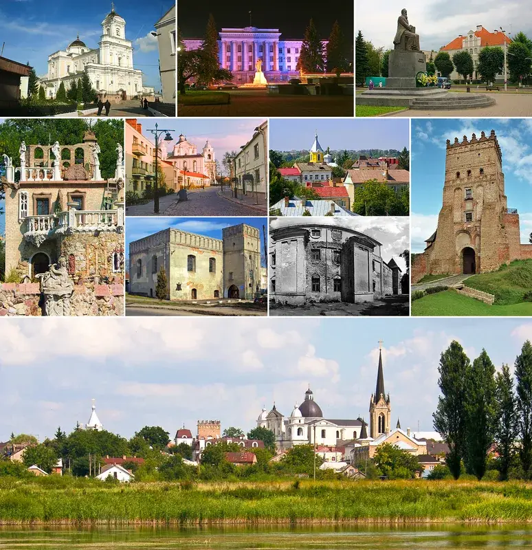
Sights in the town Burshtyn Lowland (1)
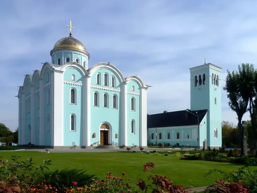
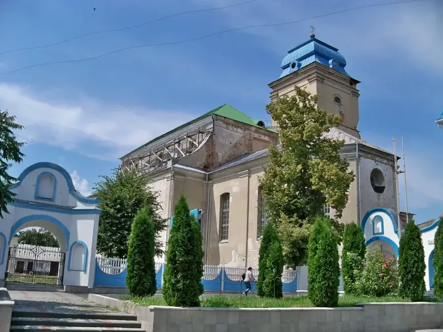
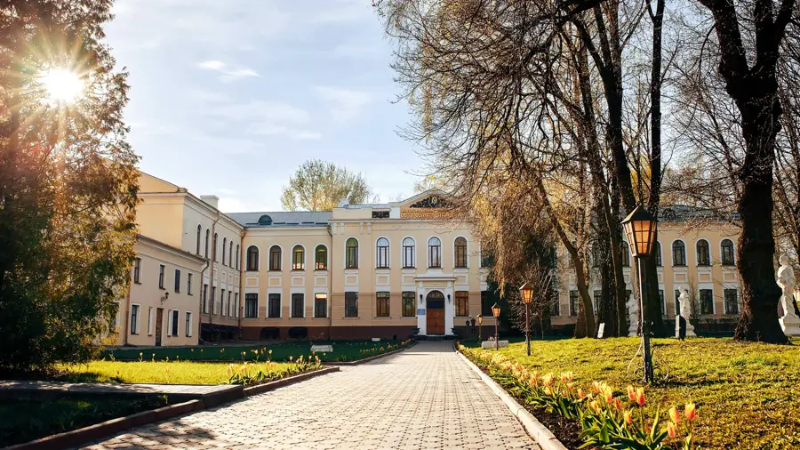
Basein🎡 recreation

A local swimming facility situated in the Burshtyn Lowland region.

Sights nearby

Frequently asked questions

What is the Burshtyn Lowland?
A lowland in Western Ukraine, known for its power plant and reservoir.
Which city is at its center?
The city of Burshtyn gives the region its name.
What can you do at the reservoir?
The Burshtyn reservoir is a popular fishing and recreation area.
How is the climate there?
Mild continental with sufficient precipitation for agriculture.
Is there industry there?
Yes, the large Burshtyn thermal power plant is economically dominant.
Burshtyn Lowland: where is it located?
Burshtyn Lowland is located in Ukraine.
Burshtyn Lowland: when is the best time to visit?
The most pleasant time to visit is Jun, Aug.
Burshtyn Lowland: why is it worth visiting?
The Burshtyn Lowland is a distinct physiographic depression located in the Ivano-Frankivsk Oblast of western Ukraine.
View on map → The Top 50 Attractions → OpenStreetMap →
Europe
Explore with Plizio Discover more places in Europe
More places in Ukraine →

Nearby cities

History & landmarks