Plizio Visual Lab
Ivano-Frankivsk Plateau
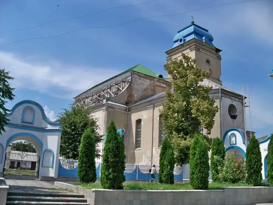
The Ivano-Frankivsk Plateau is a major geomorphological region located in the foothills of the Ukrainian Carpathians. Positioned between the Dniester and Prut river valleys, it forms a segment of the larger Podillian Upland. The plateau's topography is characterized by rolling hills and broad terraced valleys, with average elevations ranging from 250 to 350 meters above sea level. Geologically, the area consists of Neogene sedimentary deposits, including limestones, clays, and sands, topped by a thick layer of fertile loess. This geological makeup has resulted in the formation of rich chernozem soils, making the region a key agricultural hub for grain and sugar beet production. Historically, the plateau was part of the Galicia region and served as a strategic crossroads for trade routes connecting Central and Eastern Europe. Today, it is a densely populated area centered around the city of Ivano-Frankivsk, which acts as its primary cultural and industrial heart.
- Location: Ukraine
- Top sights: Art Museum of Prykarpattia · Potocki Palace · Ira Malaniuk Philharmonic
- Nearby: Kalush (28 km)
Best time to visit & climate
The most pleasant time to visit is Jun–Aug.
| Jan | Feb | Mar | Apr | May | Jun | Jul | Aug | Sep | Oct | Nov | Dec | |
|---|---|---|---|---|---|---|---|---|---|---|---|---|
| Avg °C | -4 | -3 | 2 | 9 | 14 | 18 | 20 | 20 | 15 | 9 | 3 | -2 |
| Rain mm | 39 | 39 | 49 | 50 | 96 | 105 | 101 | 69 | 65 | 55 | 40 | 39 |
📋 Practical info
Geography
Facts
- The plateau's average elevation is approximately 300 meters above sea level.
- It is situated between the drainage basins of the Dniester and Prut rivers.
- The region is covered by fertile loess-based chernozem (black earth) soils.
- Average annual temperatures in the region range from 7°C to 8°C.
- The plateau is part of the Precarpathian tectonic depression.
- Agriculture occupies over 60% of the total land area of the plateau.
Explore nearby
Notable places around
Route planner — Car & Motorhome
Where do you start? We build the route here, with stops and country notes along the way.
© OpenStreetMap contributors · OpenRouteService
Sights in the town Ivano-Frankivsk Plateau (8)
Bastion of Stanislaviv Fortress🏰 castle
A preserved remnant of the original city fortifications of Ivano-Frankivsk.
Sights nearby
Frequently asked questions
Where is the Ivano-Frankivsk Plateau located?
What is the average height of the plateau?
What is the economic basis?
Which rivers cross it?
What is the vegetation like?
Ivano-Frankivsk Plateau: where is it located?
Ivano-Frankivsk Plateau: what is there to see?
Ivano-Frankivsk Plateau: when is the best time to visit?
Ivano-Frankivsk Plateau: why is it worth visiting?

Nearby cities