Plizio Visual Lab
Kamwenge
ℹ️Practical info — Kamwenge
▾
🌤 Weather — 5 days
📍 Nearby
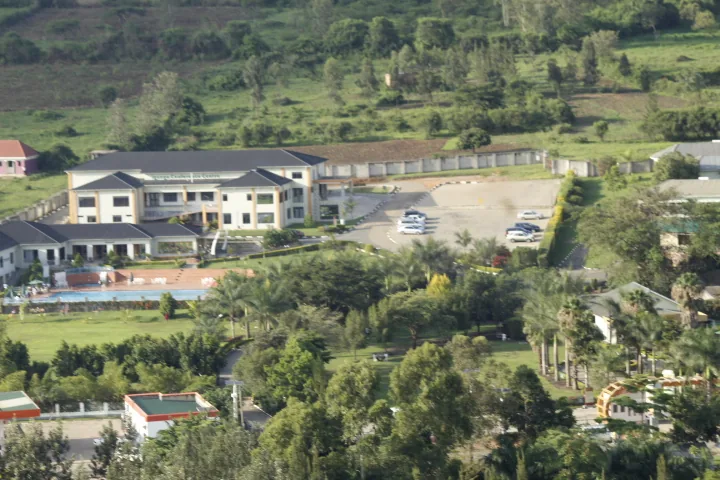
Sights nearby
💡 Tips
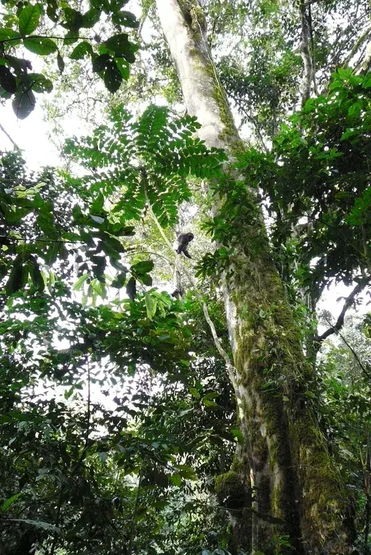
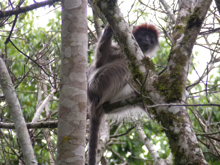
- The city is a gateway to Kibale National Park, making it a convenient base for chimpanzee trekking.
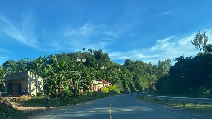
- Unpaved roads can be dusty during the dry season; pack a scarf to cover your face when traveling.
- Public transport is mostly limited to shared taxis. Booking a private hire might be necessary for longer trips.
- Local food stalls offer generous portions; try the street food for a quick, cheap meal.
🍽 Food
Chopped chapati mixed with beans. A very cheap and filling street food dish.
Freshly grilled goat or beef, often served with roasted plantains.
A thick maize porridge eaten as a side dish with hearty bean or meat sauces.
🛍 Shopping · 🧘 Quiet spots
Buy fresh avocados, bananas, and pineapples directly from the region's growers.
Find colorful fabrics and simple tailoring in the small shops around the town center.
A walk towards the forested areas provides bird song and lush nature.
Find a quiet spot along the riverbank to enjoy nature away from the town's bustle.
Water temperature…
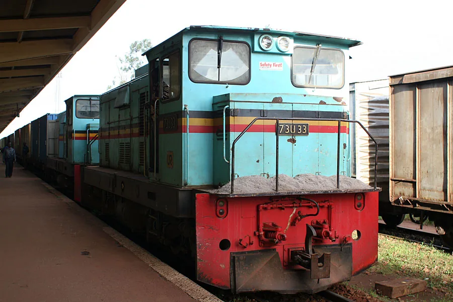
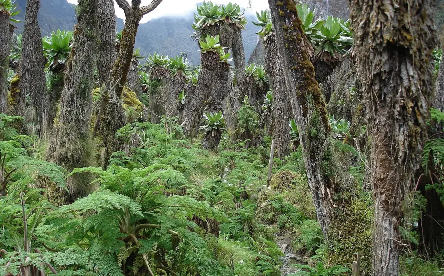
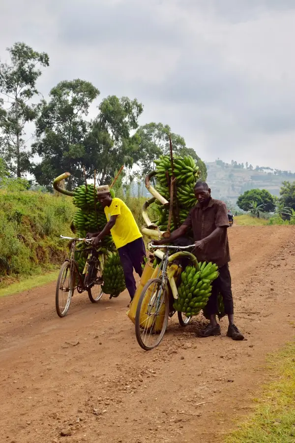
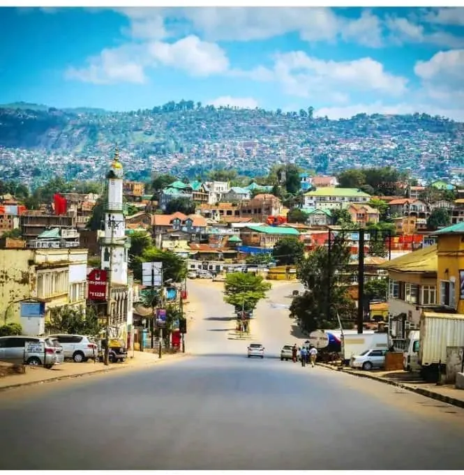
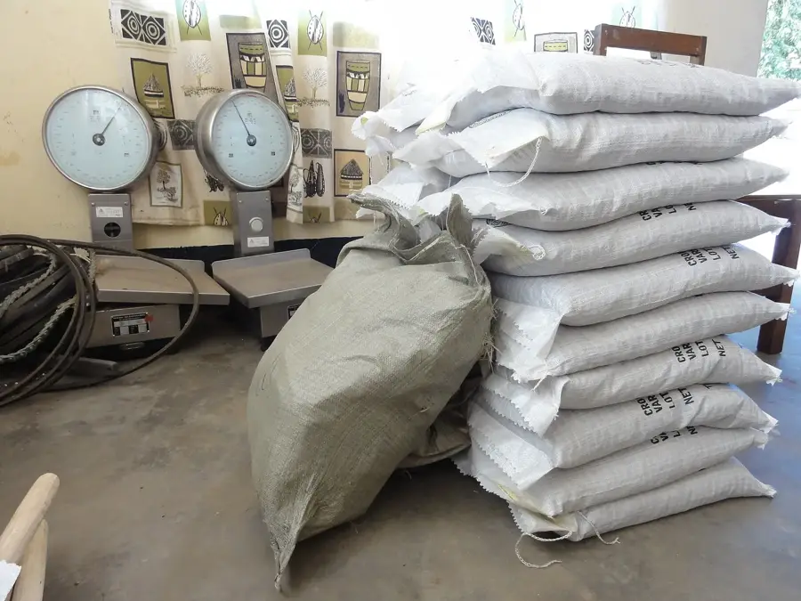
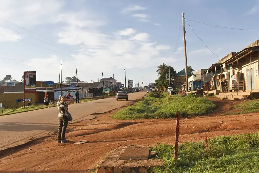
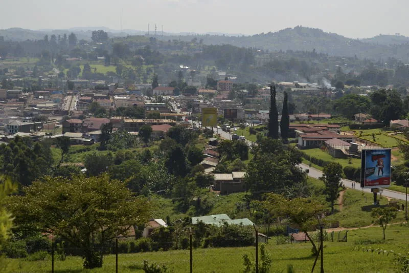
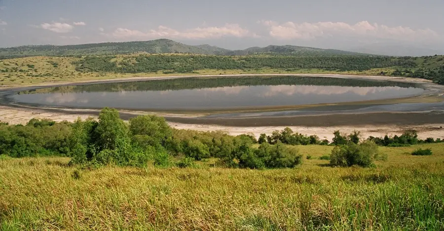
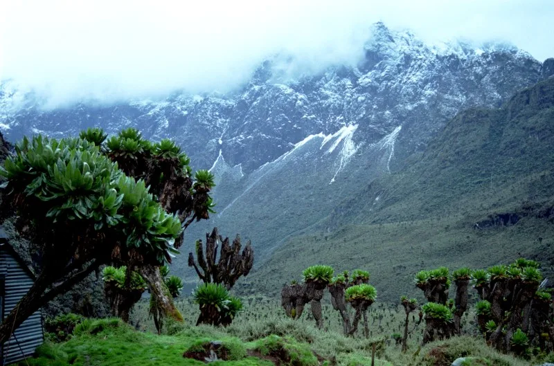
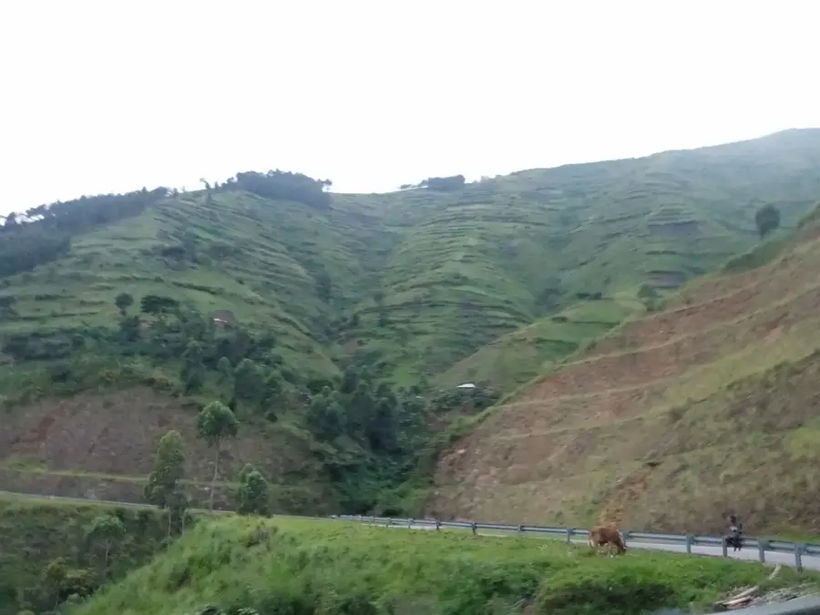
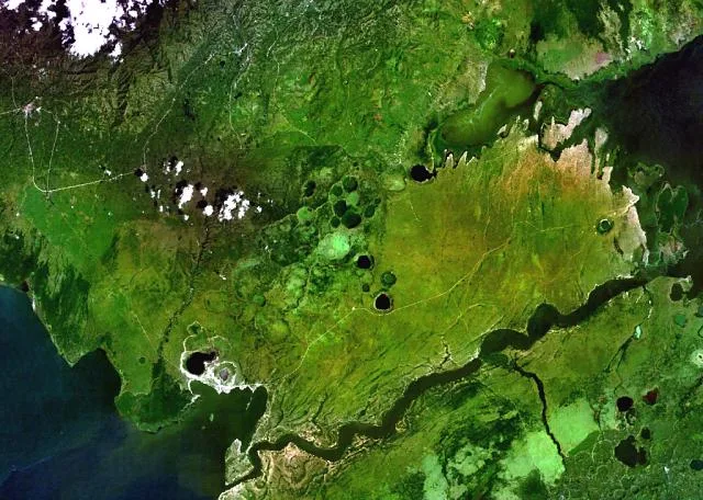
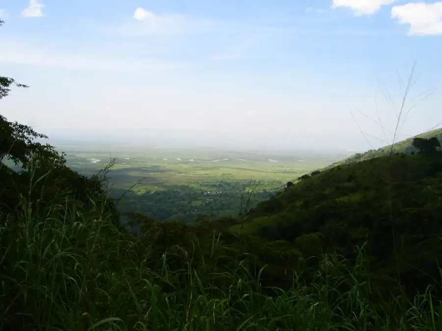
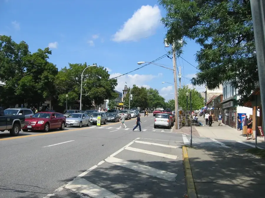
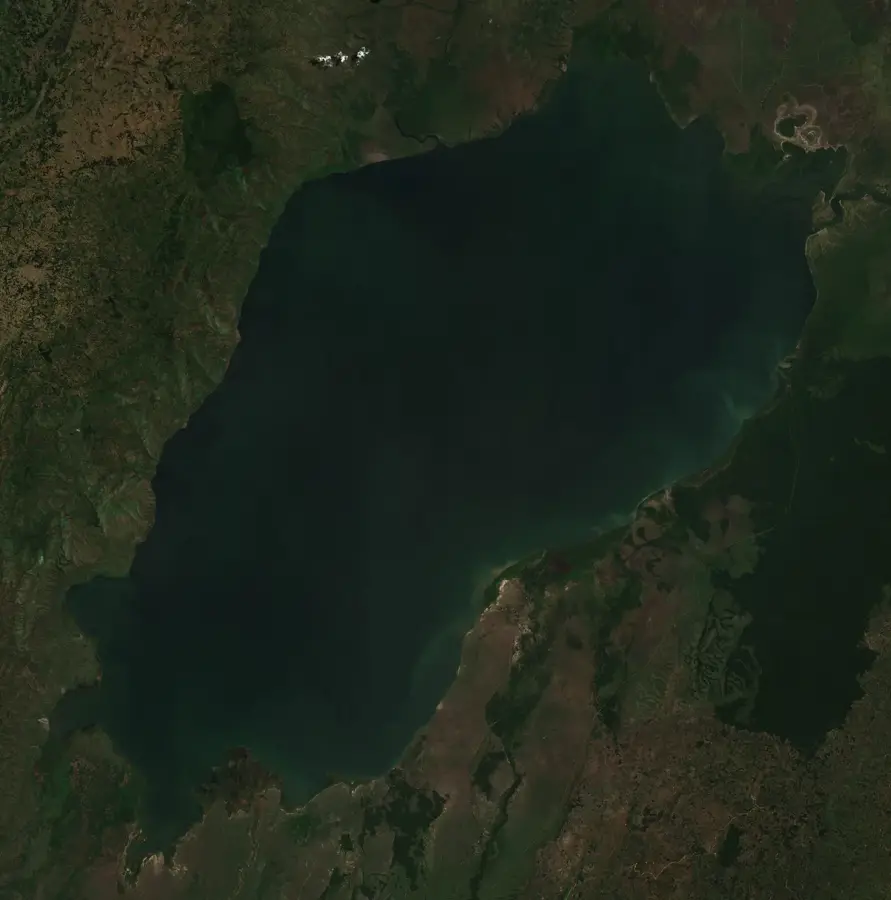
Kamwenge is a key urban and administrative center in Western Uganda, serving as the headquarters for the Kamwenge District. The town has evolved into a vital trade hub for the region's agricultural sector, particularly for crops like maize, beans, and bananas. Its strategic location along the railway line and main roads connects Western Uganda to the capital, Kampala, fostering economic growth. Kamwenge is perhaps best known to travelers as a gateway to the Kibale National Park, one of Africa's premier destinations for chimpanzee trekking and primate research. The town's atmosphere is characterized by its bustling local markets and the warm hospitality of the Toro and Bakiga ethnic groups, who form the core of the local population. Visitors can enjoy an authentic Ugandan experience, exploring traditional markets or using the town as a starting point for tours to the memorable nearby crater lakes. As a developing regional center, Kamwenge provides essential services while maintaining a close connection to the natural wonders and wildlife of the Albertine Rift Valley.
- Location: Uganda
- Nearby: Kibale National Park (25 km)
- Population: ~23.900 (2024)
Best time to visit & climate
The most pleasant time to visit is Jan, Jun, Jul.
| Jan | Feb | Mar | Apr | May | Jun | Jul | Aug | Sep | Oct | Nov | Dec | |
|---|---|---|---|---|---|---|---|---|---|---|---|---|
| Avg °C | 22 | 23 | 22 | 21 | 21 | 21 | 21 | 21 | 21 | 21 | 21 | 21 |
| Rain mm | 68 | 69 | 128 | 135 | 119 | 62 | 60 | 96 | 121 | 142 | 147 | 94 |
Geography
Facts
- Kamwenge's population was 11,000 in the 2014 census.
- The town is located at an elevation of 1,200 meters.
- Kamwenge District covers an area of 2,439 square kilometers.
- Annual coffee production is 2,000 tons.
- Average annual rainfall is 1,400 mm.
- The nearest major city is Fort Portal, 30 km north.
Explore nearby
Notable places around
Route planner — Car & Motorhome
Where do you start? We build the route here, with stops and country notes along the way.
© OpenStreetMap contributors · OpenRouteService
Sights in the town Kamwenge (1)
Frequently asked questions
How many days to allocate for Kamwenge?
When is the best time to visit Kamwenge?
What is the best way to reach Kamwenge?
Any culinary tips for Kamwenge?
Is Kamwenge family-friendly?
Kamwenge: where is it located?
Kamwenge: when is the best time to visit?
Kamwenge: why is it worth visiting?

Nearby cities
History & landmarks
Nature
More places