Plizio Visual Lab
Semliki River
Weather…
Water temperature…
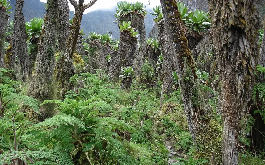
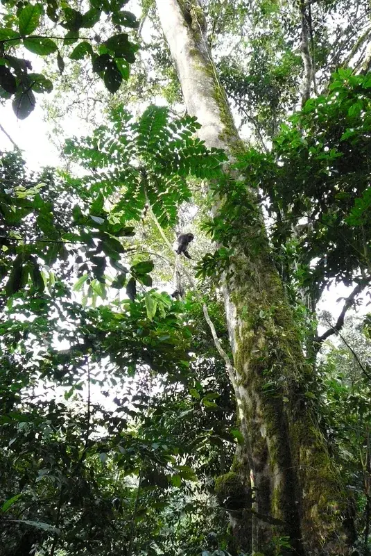
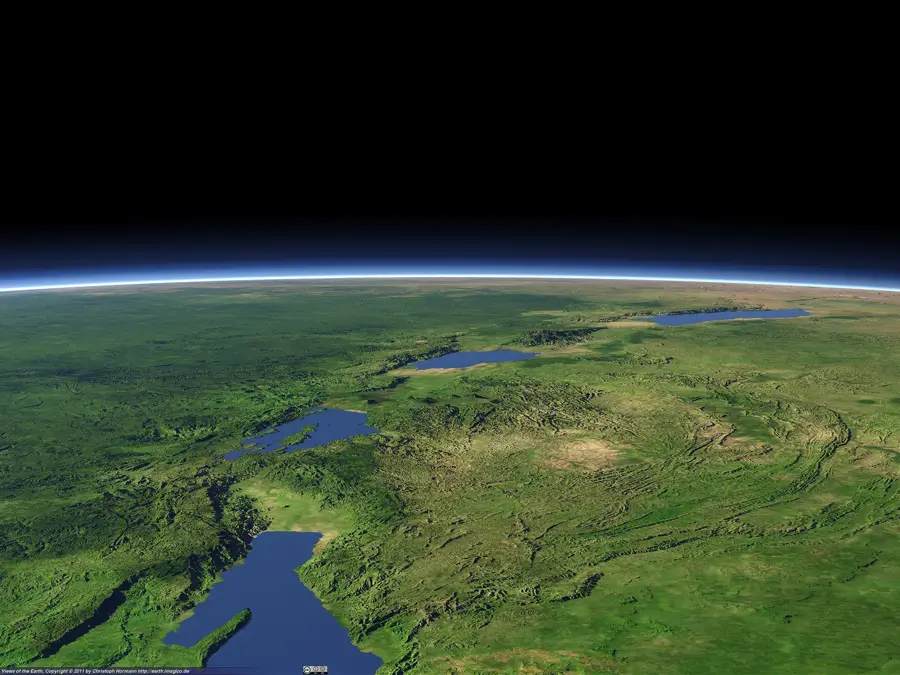
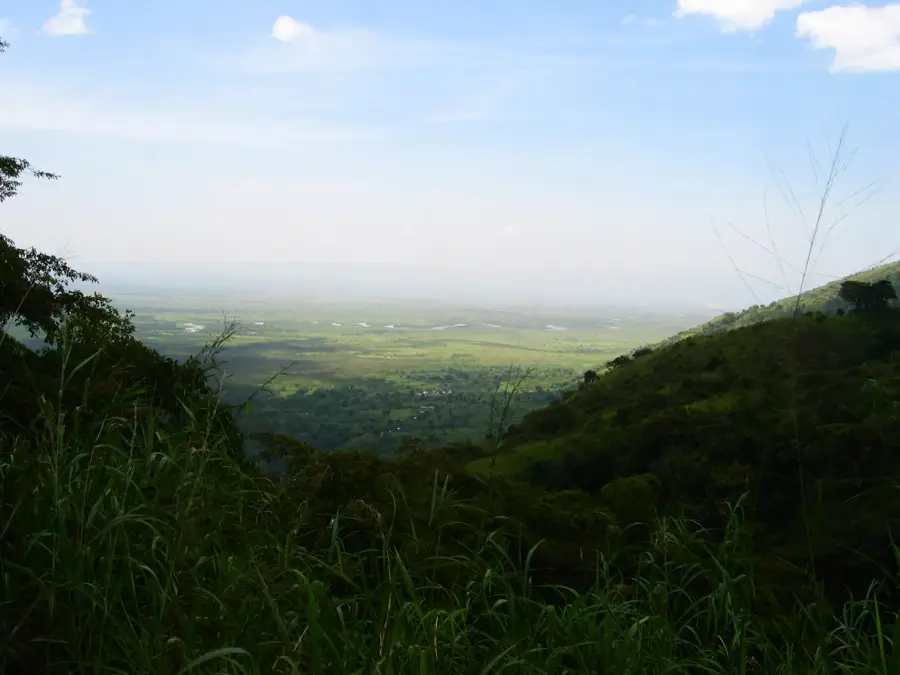
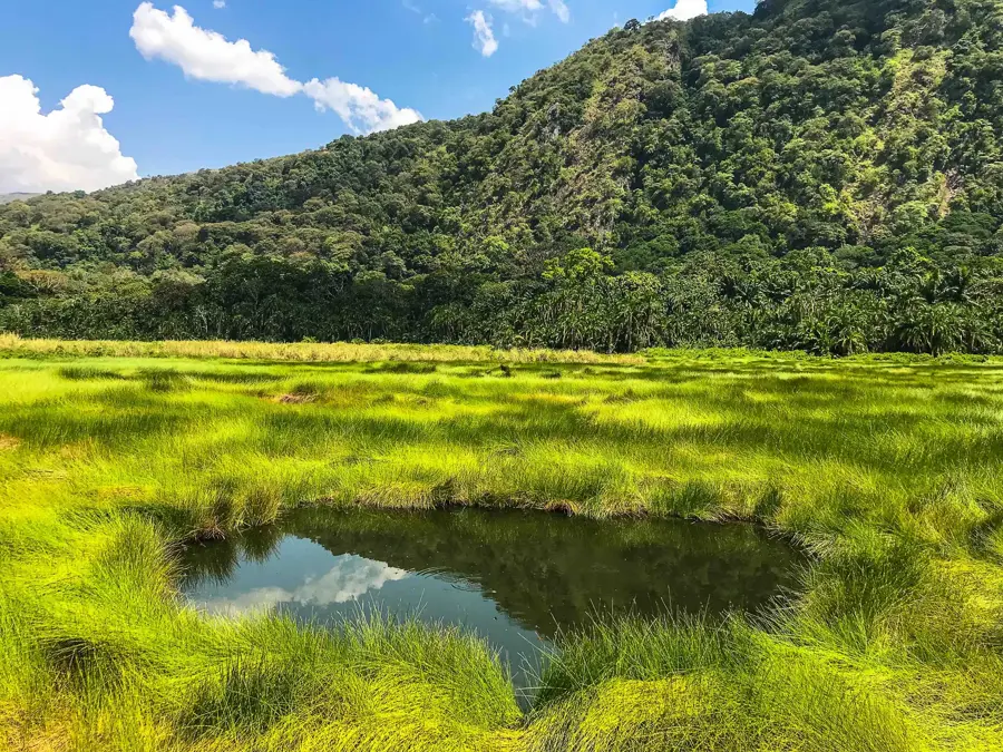
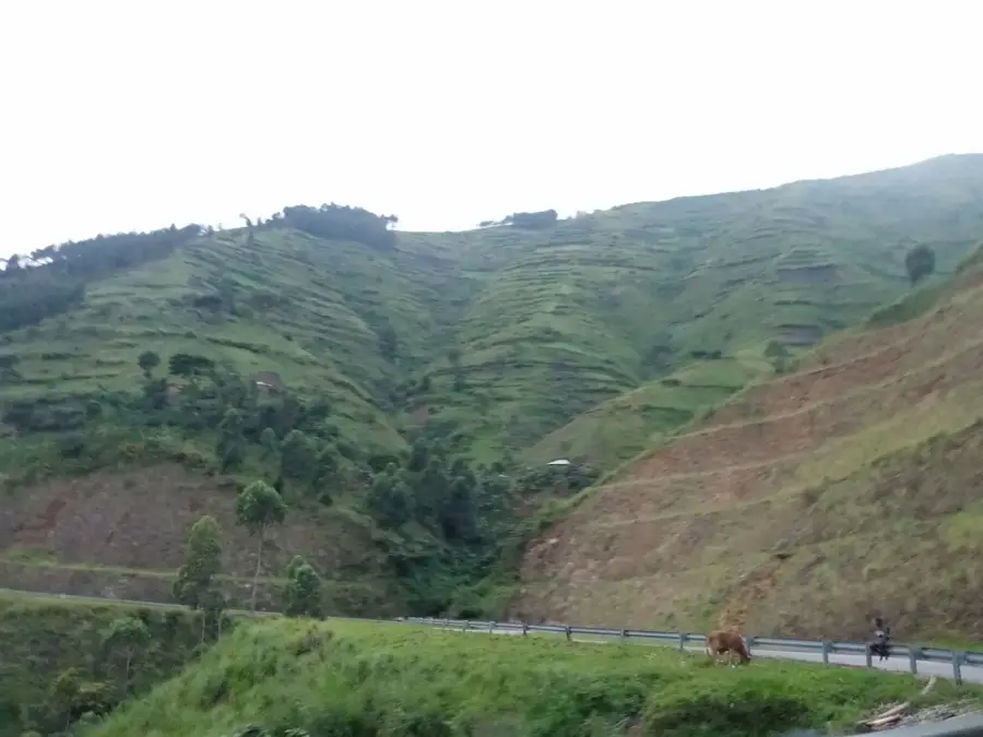
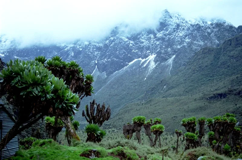
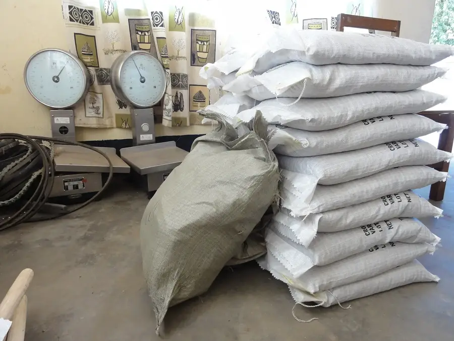
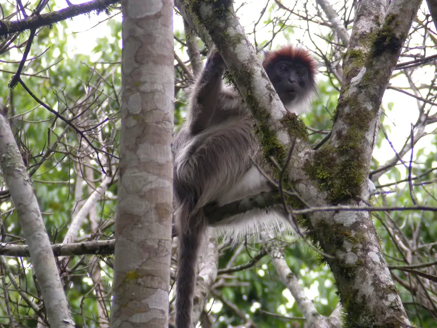
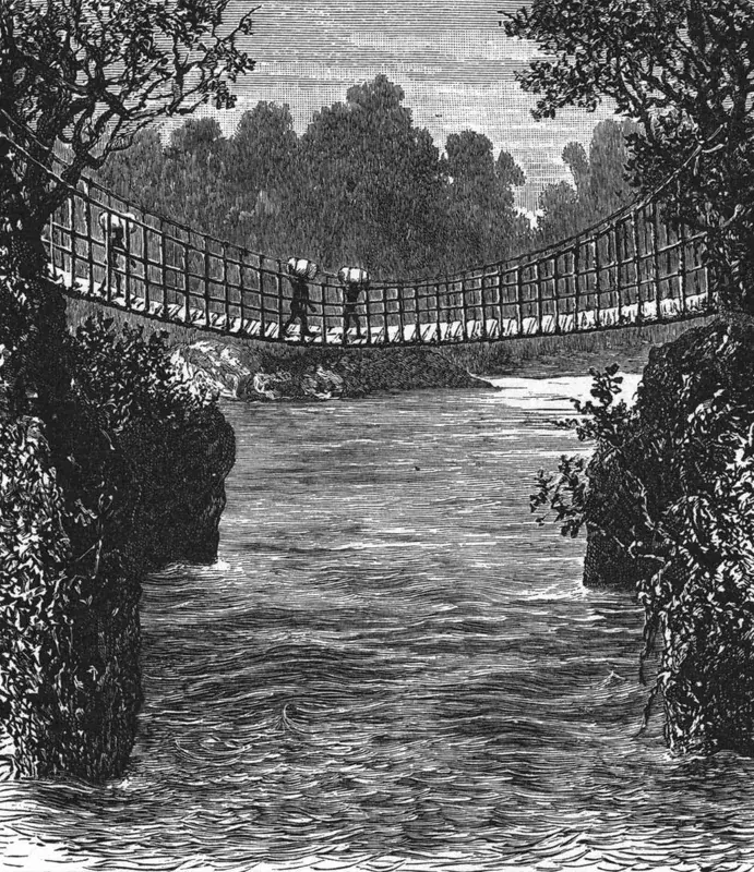
The Semliki River flows from Lake Edward to Lake Albert, covering 230 km through the Albertine Rift Valley. It forms part of the international border between Uganda and the Democratic Republic of Congo. The river has a catchment area of 14,000 km² and a mean discharge of 100 m³/s. Its floodplain supports diverse wildlife, including hippos, crocodiles, and over 400 bird species. The Semliki Wildlife Reserve protects significant stretches of the river. Annual fish catches exceed 5,000 tons, sustaining local livelihoods. The river's valley is rich in oil deposits, with exploration activities ongoing since 2010. Hot springs along the river, such as those at Sempaya, attract tourists. The Semliki is also a critical habitat for the endangered chimpanzee. Historically, the river served as a natural barrier during colonial conflicts.
- Location: Uganda
- Nearby: Semuliki National Park (16 km)
Best time to visit & climate
The most pleasant time to visit is Jan, Jul, Dec.
| Jan | Feb | Mar | Apr | May | Jun | Jul | Aug | Sep | Oct | Nov | Dec | |
|---|---|---|---|---|---|---|---|---|---|---|---|---|
| Avg °C | 24 | 25 | 24 | 23 | 23 | 23 | 23 | 23 | 23 | 22 | 22 | 23 |
| Rain mm | 56 | 58 | 123 | 116 | 105 | 92 | 83 | 123 | 139 | 149 | 142 | 78 |
📋 Practical info
Geography
Facts
- Length: 230 km.
- Discharge: 100 m³/s (mean).
- Catchment area: 14,000 km².
- Fish catch: over 5,000 tons/year.
- Part of Semliki Wildlife Reserve.
- Oil exploration began in 2010.
Explore nearby
Notable places around
Route planner — Car & Motorhome
Where do you start? We build the route here, with stops and country notes along the way.
© OpenStreetMap contributors · OpenRouteService
Sights nearby
Frequently asked questions
Are there hiking trails along the river?
How safe is the river?
What is the best month for a visit?
Are there accommodations nearby?
What should I pay attention to when traveling?
Semliki River: where is it located?
Semliki River: when is the best time to visit?
Semliki River: why is it worth visiting?

Nearby cities

Nature
More places