Plizio Visual Lab
Lubero

ℹ️Practical info — Lubero
▾
🌤 Weather — 5 days
📍 Nearby
Sights nearby
💡 Tips
- Pack warm clothing; the high altitude means nights and mornings can get quite cold.
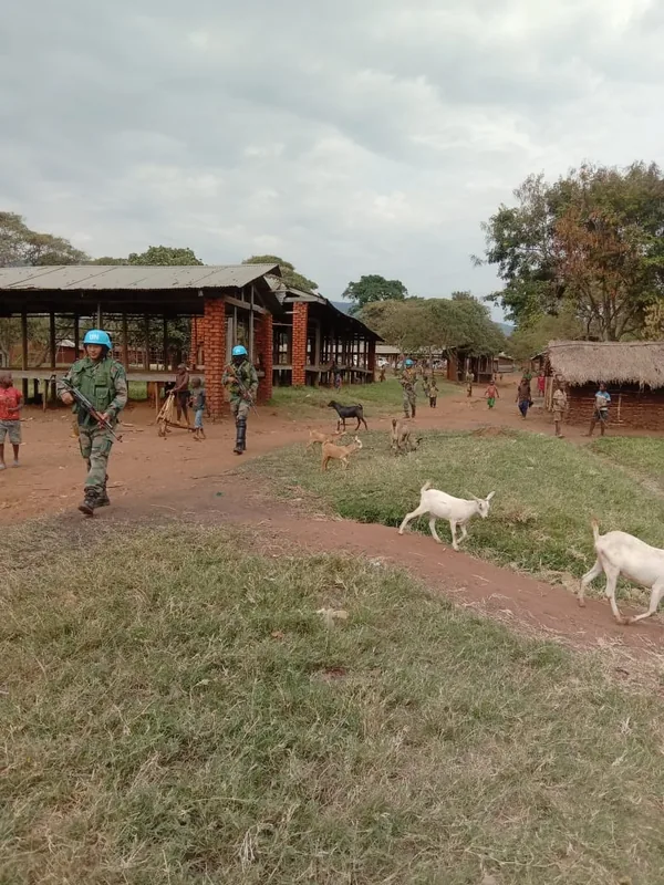
- Always verify the current security situation with reliable local contacts before traveling here.
- Mountain roads can be very slippery and treacherous, especially during the rainy season.
- Take advantage of the abundant and cheap fresh vegetables grown in this temperate region.
🍽 Food
The region is famous for its potatoes; try them fried or boiled at local stalls.
A hearty, warming stew made with the crisp vegetables grown in the surrounding hills.
Start your chilly morning at a local tea stall for a sweet, hot brew.
🛍 Shopping · 🧘 Quiet spots
Buy incredibly fresh strawberries, carrots, and leeks directly from the farmers.
Look for rich, wild honey collected from the nearby forested mountains.
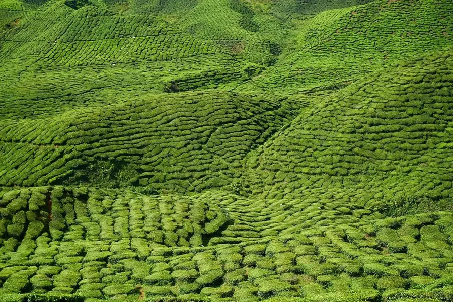
Walk up the scenic hillsides to see the meticulously farmed terraces.
Find a safe clearing on the high ground overlooking the valley for a serene sunset.
Water temperature…
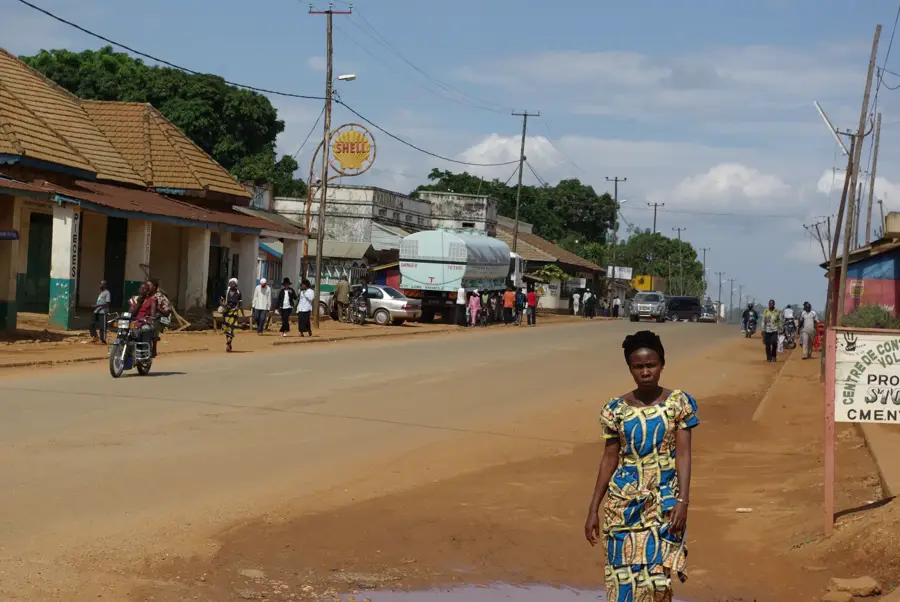
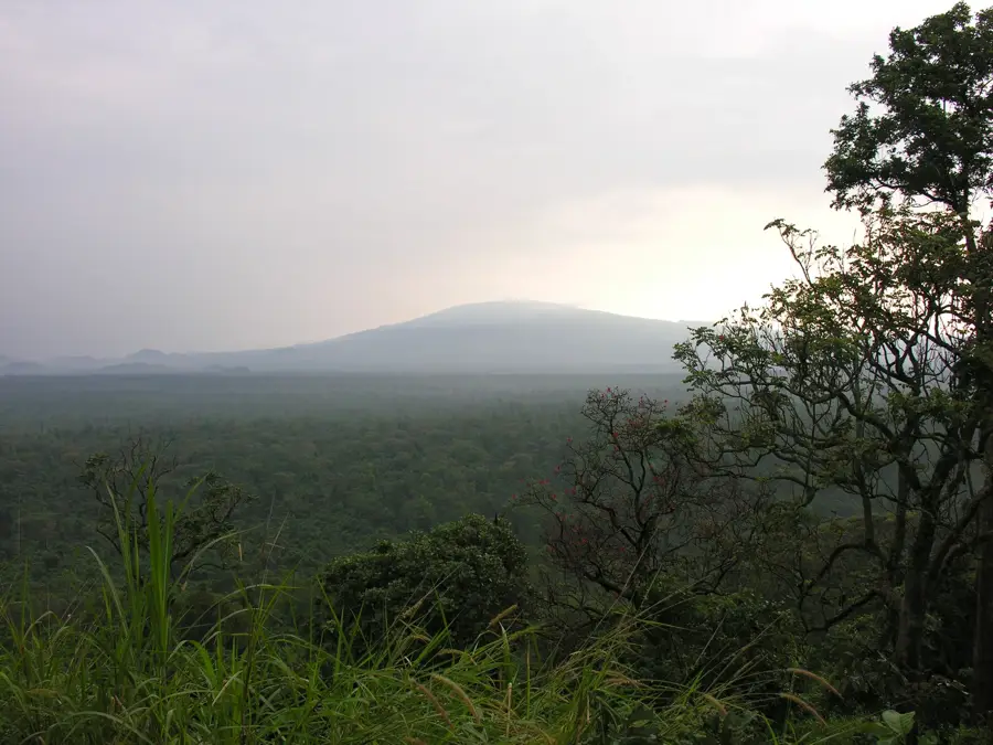
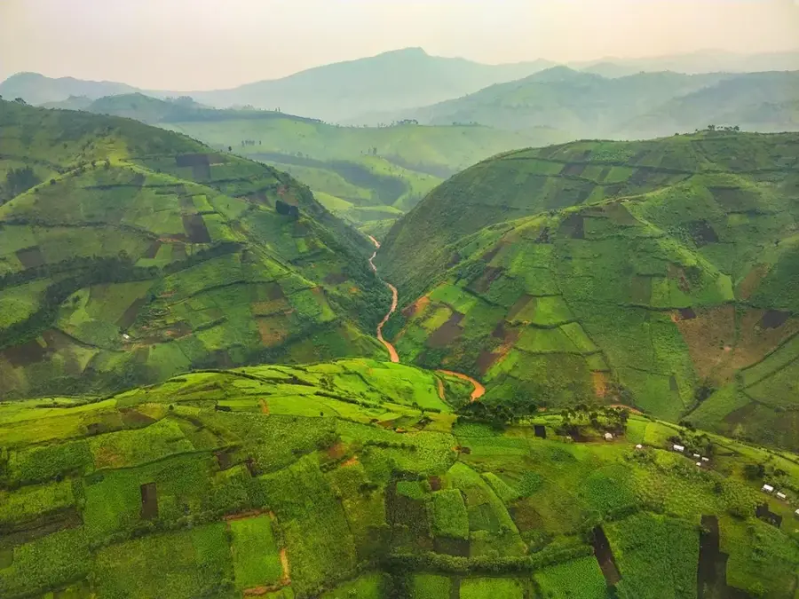
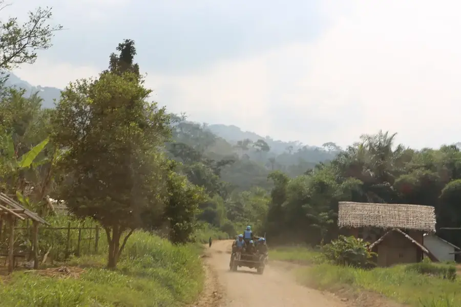
Lubero is a significant territory and town in the North Kivu province, located in the highlands of eastern Congo. The town sits at a considerable altitude of over 2,000 meters, resulting in a climate that is unusually cool and damp for these latitudes. Lubero is the ancestral land of the Nande people, who are renowned for their industriousness in trade and agriculture. The region is a vital agricultural area, producing mainly potatoes, wheat, and various vegetables exported to lower-lying cities. The geography is characterized by dense mountain forests and steep slopes that are part of the Albertine Rift. Despite the fertile soils, insecurity from armed conflicts and outbreaks of diseases like Ebola have impacted development in the past. Lubero serves as a major transit point on National Road 2, which connects Goma to Butembo and Beni. The town itself is a hub for education and administration in the region, hosting several religious missions.
- Location: Congo - Kinshasa
- Nearby: Butembo (30 km)
- Population: ~41.722 (2023)
Best time to visit & climate
The most pleasant time to visit is Jan, Jun, Jul.
| Jan | Feb | Mar | Apr | May | Jun | Jul | Aug | Sep | Oct | Nov | Dec | |
|---|---|---|---|---|---|---|---|---|---|---|---|---|
| Avg °C | 22 | 23 | 23 | 22 | 22 | 22 | 22 | 22 | 22 | 22 | 22 | 22 |
| Rain mm | 86 | 97 | 170 | 156 | 135 | 107 | 90 | 144 | 173 | 188 | 176 | 107 |
Geography
Facts
- Lubero is situated at an altitude of over 2,000 meters in the eastern highlands.
- The town is a traditional center for the Nande ethnic group.
- The cool mountain climate allows for the cultivation of wheat and potatoes.
- National Road 2 passes directly through the Lubero territory.
- The region is part of the ecologically significant Albertine Rift.
- Lubero was an important administrative center during the colonial era.
Explore nearby
Notable places around
Route planner — Car & Motorhome
Where do you start? We build the route here, with stops and country notes along the way.
© OpenStreetMap contributors · OpenRouteService
Frequently asked questions
Where is Lubero located?
Why is Lubero agriculturally important?
What is the climate like in the Lubero mountains?
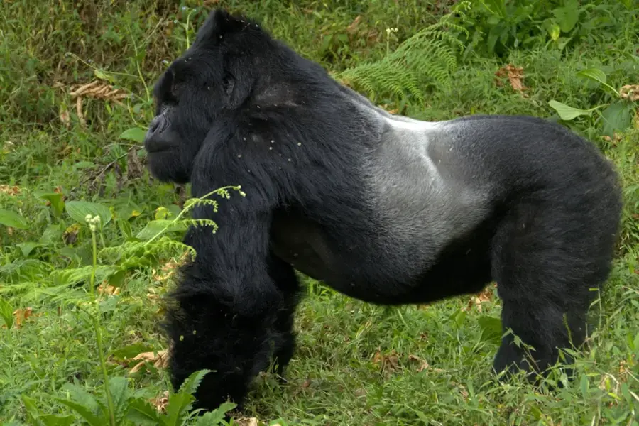
Are there nature parks near Lubero?
How is the infrastructure in Lubero?
Lubero: where is it located?
Lubero: when is the best time to visit?
Lubero: why is it worth visiting?

Nearby cities


History & landmarks


More places