Plizio Visual Lab
Mount Taroman
Weather…
Water temperature…
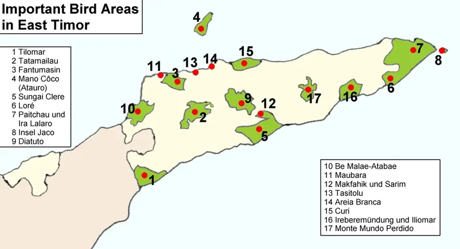
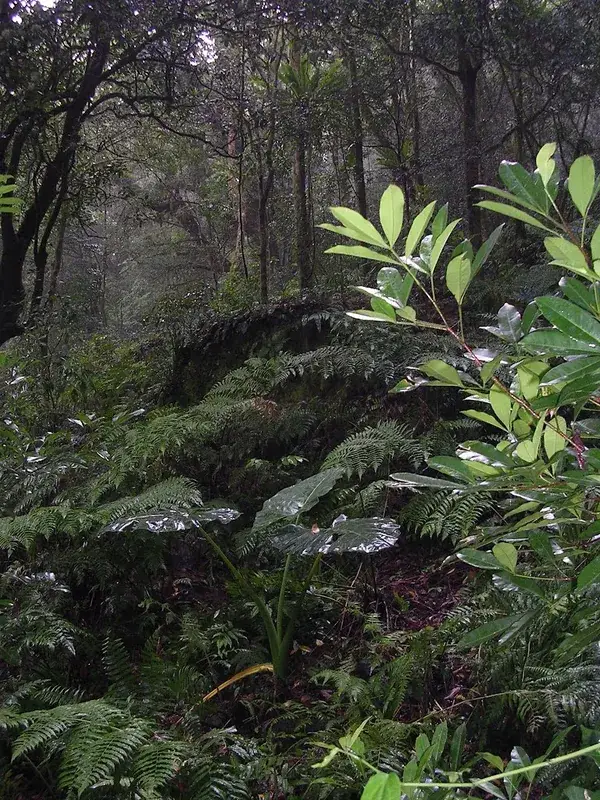
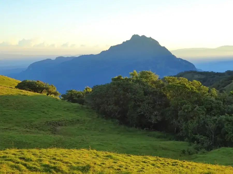
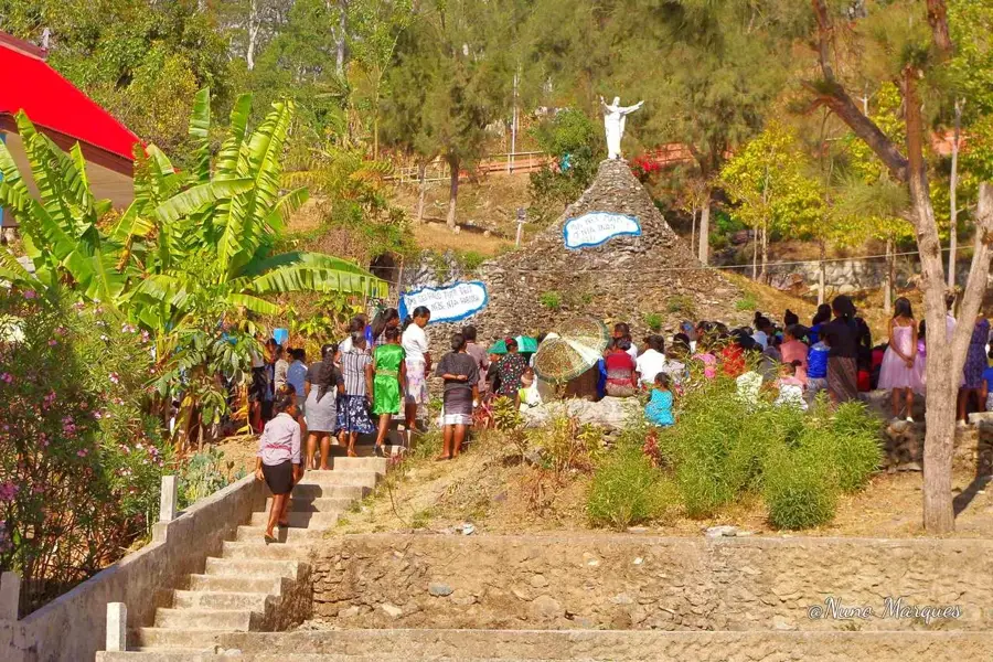
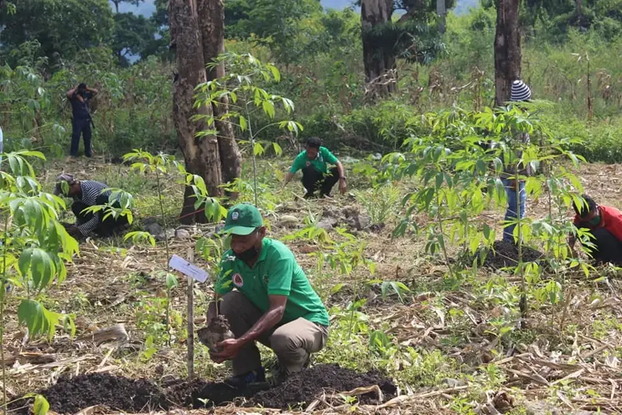
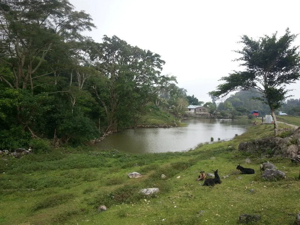
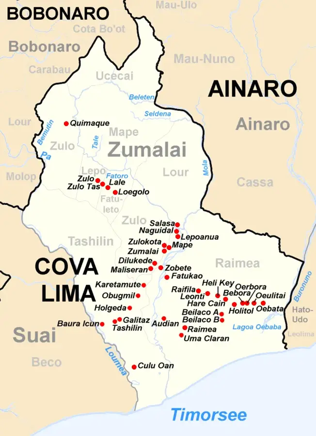
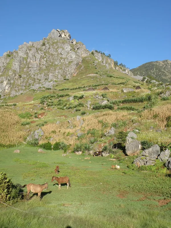
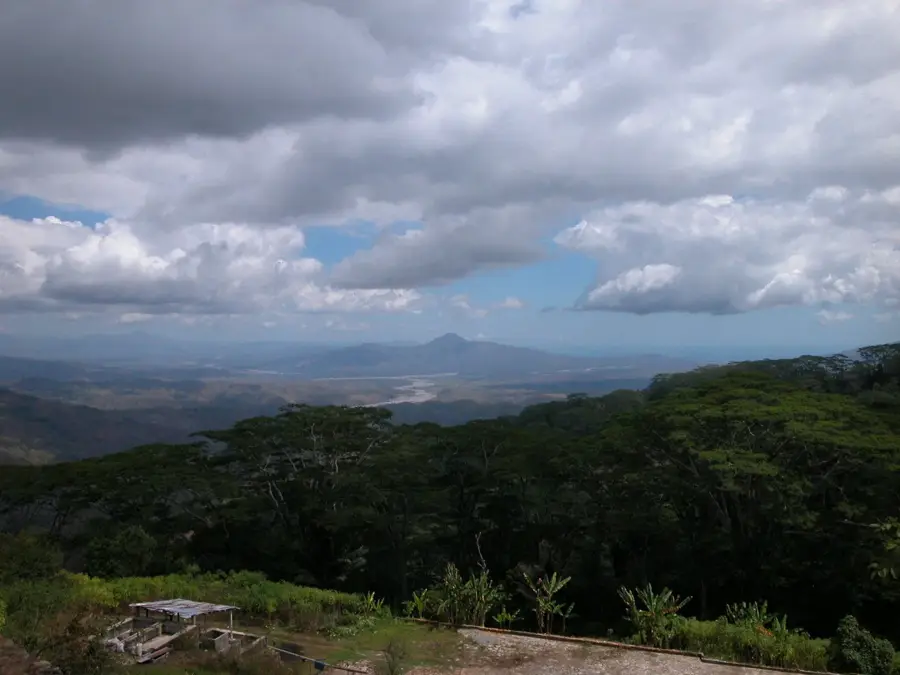
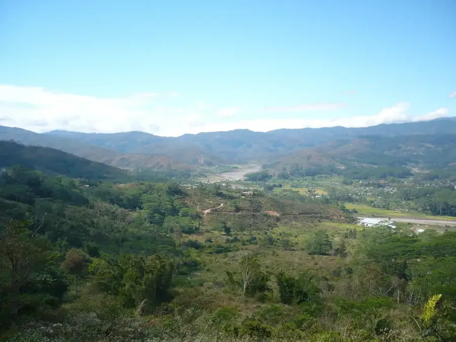
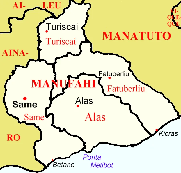
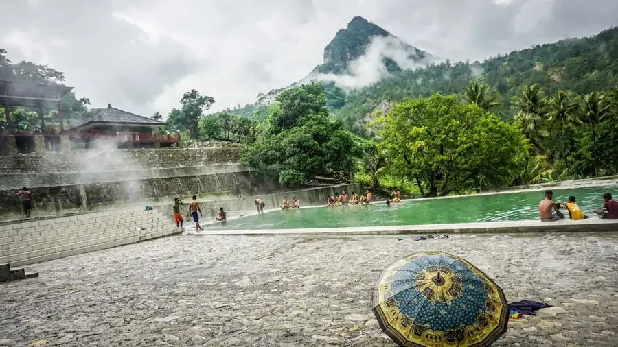
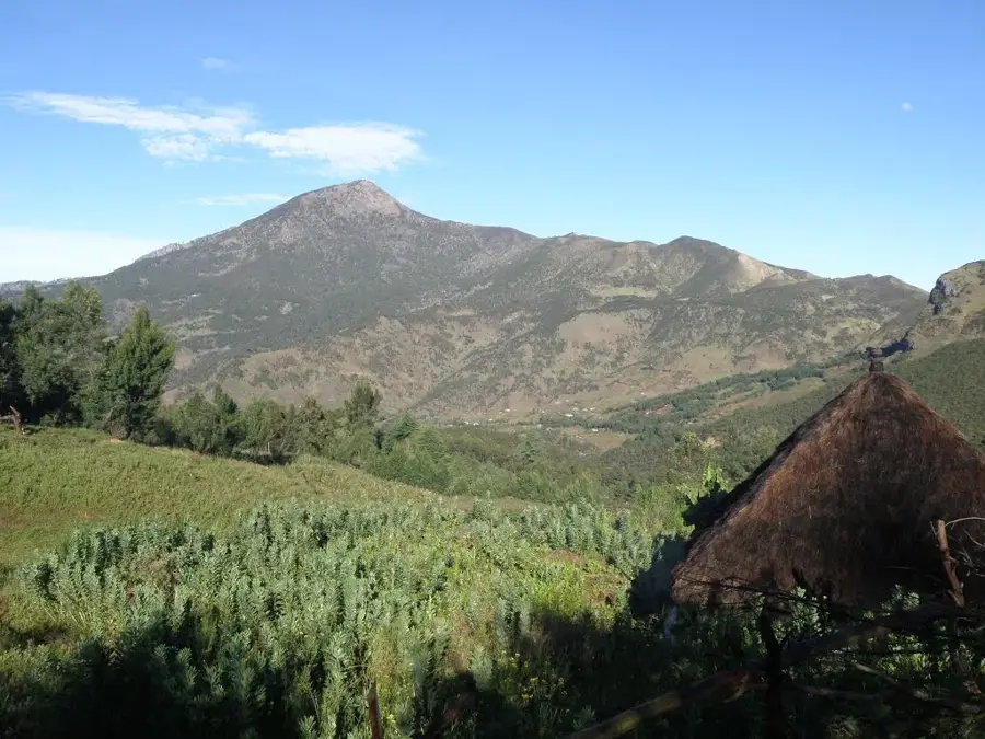
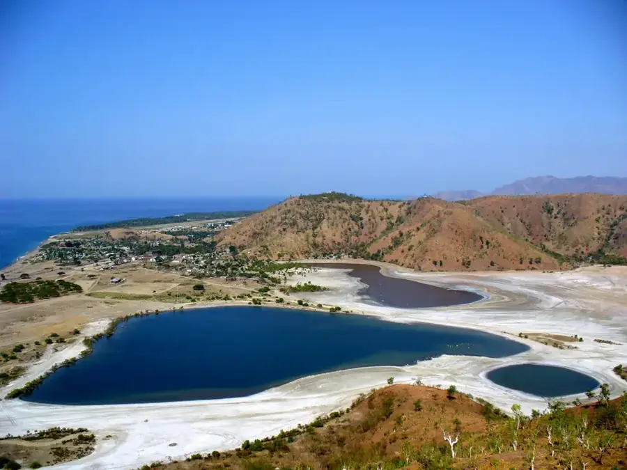
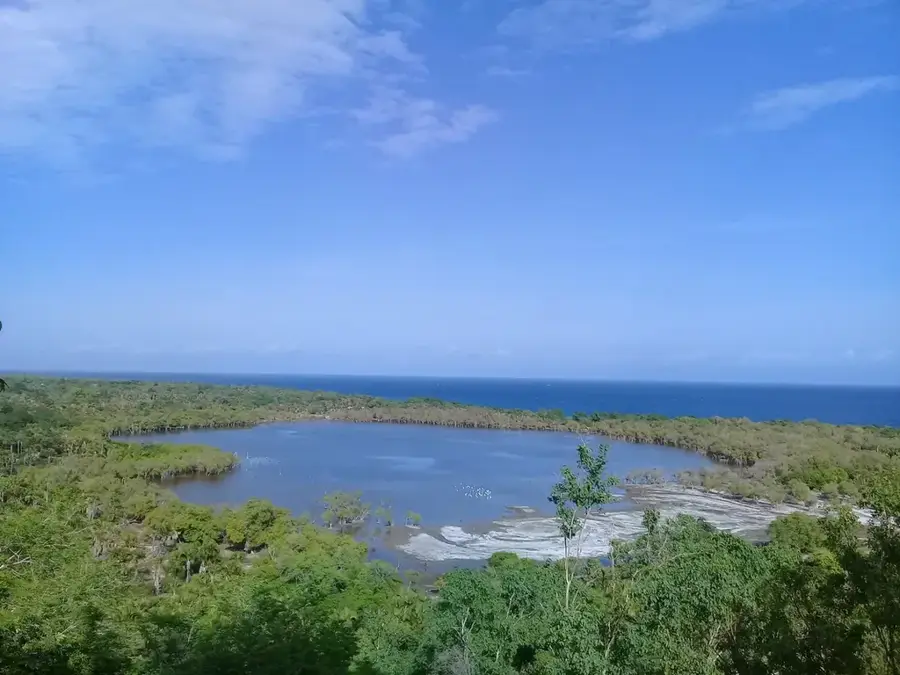
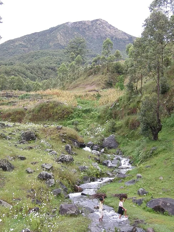
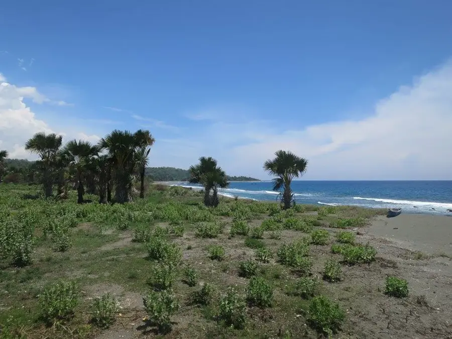
Mount Taroman is a striking limestone massif located in the Covalima District of southwestern Timor-Leste, near the Indonesian border. Rising to an elevation of approximately 1,744 meters, it dominates the landscape of the Fatumean and Tilomar administrative posts. The mountain is renowned for its rugged rock formations, deep chasms, and a complex system of karst caves that hold great cultural and historical significance for the local population. Vegetation on the slopes ranges from dry tropical forests at lower elevations to evergreen montane forests near the summit, providing a sanctuary for rare orchids and endemic birds. For the local Bunak and Tetum people, Taroman is a sacred mountain that features prominently in legends as the ancestral place of origin. During the Indonesian occupation, the massif's inaccessible caves and forests served as vital bases for the resistance movement. Due to its ecological isolation, the area has unique flora that has only recently begun to be studied more extensively by scientists.
- Location: Timor-Leste
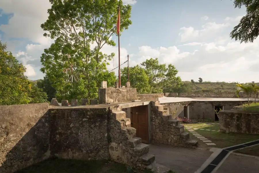
- Top sights: Lolo Kiik · Lolo Siat · Lolo Pampor
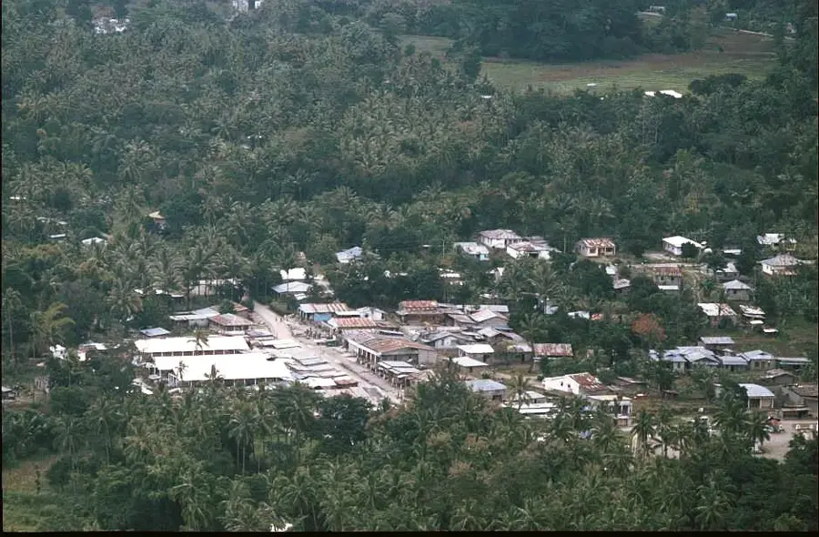
- Nearby: Fohorem (6 km)
Best time to visit & climate
The most pleasant time to visit is Jun–Aug.
| Jan | Feb | Mar | Apr | May | Jun | Jul | Aug | Sep | Oct | Nov | Dec | |
|---|---|---|---|---|---|---|---|---|---|---|---|---|
| Avg °C | 26 | 26 | 26 | 26 | 26 | 25 | 25 | 25 | 27 | 28 | 29 | 27 |
| Rain mm | 276 | 242 | 147 | 60 | 39 | 24 | 11 | 5 | 6 | 16 | 66 | 203 |
📋 Practical info
Geography
Facts
- Mount Taroman rises to an elevation of about 1,744 meters.
- It is located in the Covalima District near the West Timor border.
- The massif is primarily composed of limestone karst formations.
- Numerous caves in the mountain served as FALINTIL hideouts.
- The mountain is revered as a spiritual center in Bunak culture.
- The region is home to rare and protected species of wild orchids.
Explore nearby
Notable places around
Route planner — Car & Motorhome
Where do you start? We build the route here, with stops and country notes along the way.
© OpenStreetMap contributors · OpenRouteService
Sights in the town Mount Taroman (4)
Sights nearby
Frequently asked questions
Is Mount Taroman visited by tourists?
Are there marked paths?
How difficult is the ascent?
Is the area safe?
What should you bring for the tour?
Mount Taroman: where is it located?
Mount Taroman: what is there to see?
Mount Taroman: when is the best time to visit?
Mount Taroman: why is it worth visiting?

Nearby cities
History & landmarks

Nature

More places