Plizio Visual Lab
Tatamailau (Ramelau)
Plizio editorial teamData Sources
Mountain

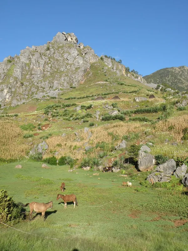
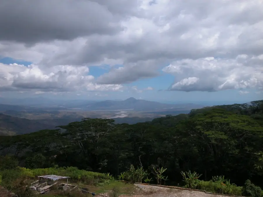
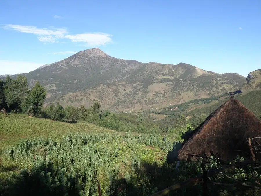
Mount Tatamailau, also widely known as Ramelau, is the highest peak in Timor-Leste, standing at 2,963 meters above sea level. Located in the Ermera district within the central highlands, it serves as the crowning point of the Ramelau Range. For the people of Timor-Leste, the mountain holds deep spiritual significance and is revered as a sacred site inhabited by ancestral spirits. At its summit stands a three-meter-tall statue of the Virgin Mary, erected in 1997 during the Indonesian occupation, which remains the focus of major annual religious pilgrimages. The mountain's ecology is unique, featuring high-altitude flora and montane forests that are critical for watershed protection across the island. Trekking to the summit is a popular activity, rewarding climbers with spectacular views that span from the northern to the southern coasts on clear days. The climate at the peak is alpine, with temperatures frequently dropping below freezing during the dry season nights. Preserving this fragile ecosystem is a national priority for biodiversity conservation and sustainable water resource management.
- Location: Timor-Leste
- Top sights: Mount Ramelau · Open air church · Beginning of the trail to Ramelau
- Nearby: Ainaro (6 km)
Best time to visit & climate
The most pleasant time to visit is Jul–Sep.
| Jan | Feb | Mar | Apr | May | Jun | Jul | Aug | Sep | Oct | Nov | Dec | |
|---|---|---|---|---|---|---|---|---|---|---|---|---|
| Avg °C | 24 | 23 | 23 | 23 | 22 | 21 | 21 | 21 | 22 | 24 | 25 | 25 |
| Rain mm | 242 | 205 | 126 | 55 | 37 | 23 | 10 | 4 | 5 | 13 | 57 | 173 |
📋 Practical info
Getting there
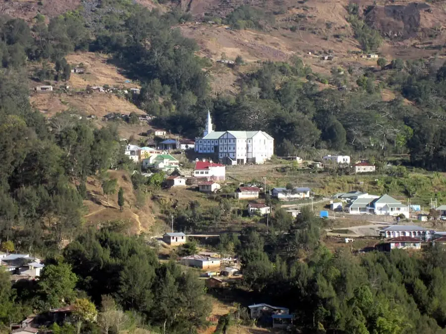
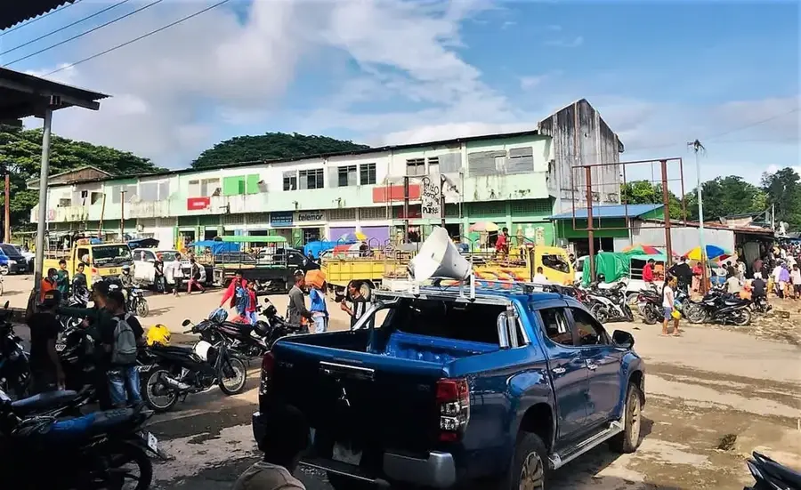
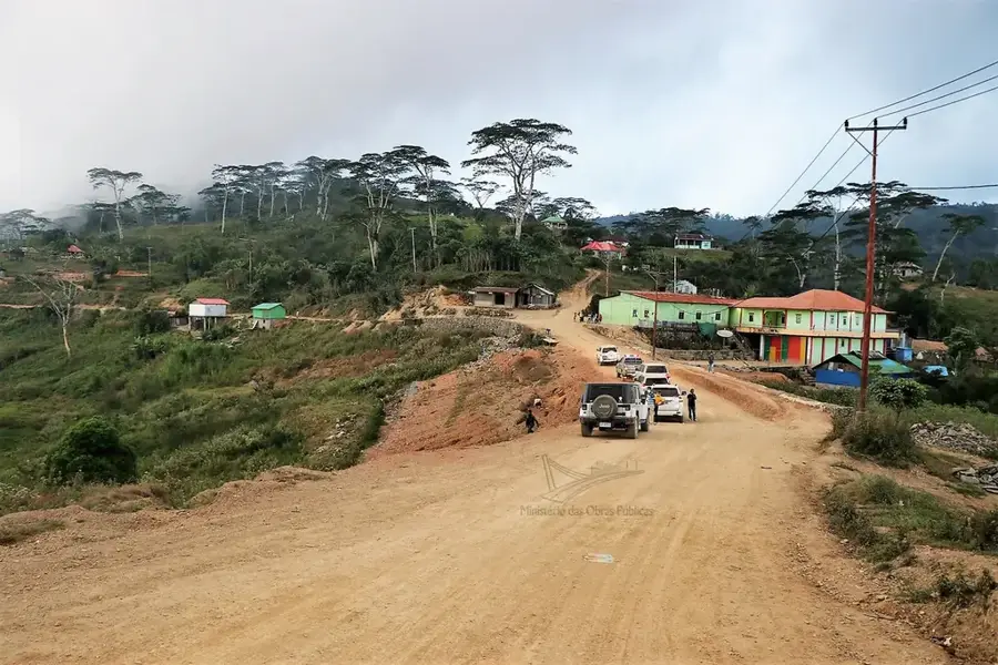
Access to the mountain usually begins in the village of Hatubuilico, which is reachable by a rugged four-wheel-drive journey from the capital Dili or nearby Maubisse through the highlands.
Best season
The best time for a visit is during the dry season from May to October, when the skies are typically clear and the trails are less muddy, providing the best views from the high summit area.
Terrain & paths
Expect steep and winding mountain trails that lead to the summit at nearly three thousand meters, where the path can be rocky and slippery, especially after the occasional high-altitude rain.
What to bring
It is essential to bring warm layers as temperatures drop significantly at the peak, along with sturdy hiking boots for grip and a reliable flashlight for those starting the trek before dawn.
Parking
Visitors typically leave their vehicles in the mountain village of Hatubuilico, where basic local guesthouses serve as the main base for hikers preparing to ascend the highest peak of Timor.
Safety
Caution is advised regarding the cold and strong winds at the summit; stay on marked paths to avoid getting lost in the clouds that often roll in quickly and obscure visibility during the day.
Time needed
A typical hike to the summit and back usually takes between four to six hours, depending on fitness levels and the time spent enjoying the panoramic views of the entire island from the top.
Geography
Facts
- At 2,963 meters, Tatamailau is the highest point on the island of Timor
- The statue of Mary at the peak was imported from Italy and blessed in 1997
- The name Tatamailau translates from Tetum as 'Grandfather of all mountains'
- Temperatures at the summit can drop as low as -2°C in July and August
- The mountain and surrounding forests are designated as an Important Bird Area
- The trek to the top from Hato Builico village typically takes two to three hours
Explore nearby
Notable places around
Route planner — Car & Motorhome
Where do you start? We build the route here, with stops and country notes along the way.
Vehicle
Only stops with (optional):
© OpenStreetMap contributors · OpenRouteService
Sights in the town Tatamailau (Ramelau) (5)
No way
Trail section on Ramelau marked as impassable.
Sights nearby
Frequently asked questions
How difficult is climbing Mount Tatamailau?
The hike is considered moderate but requires good basic fitness for the climb.
When is the best time for the summit climb?
It is best to start early in the morning to experience the sunrise at the summit.
Do you need a guide for Tatamailau?
A local guide is recommended for orientation and safety at night.
Do you have to pay a fee for the climb?
Often, a small fee is charged on-site for the maintenance of the path.
What is the weather like at the summit?
It can be very windy and cool at the summit; weather-resistant clothing is a must.
Tatamailau (Ramelau): where is it located?
Tatamailau (Ramelau) is located in Timor-Leste.
Tatamailau (Ramelau): what is there to see?
Highlights include Mount Ramelau, Open air church, Beginning of the trail to Ramelau.
Tatamailau (Ramelau): when is the best time to visit?
The most pleasant time to visit is Jul, Sep.
Tatamailau (Ramelau): why is it worth visiting?
Mount Tatamailau, also widely known as Ramelau, is the highest peak in Timor-Leste, standing at 2,963 meters above sea level.

Explore with Plizio
Discover more places in Asia
More places in Timor-Leste →
Nearby cities
Ainaro
Ainaro is known for its cooler climate and mountainous landscape.
Maubisse
Maubisse is a historical mountain town and a popular tourist destination.
Gleno
Gleno is the administrative center of the Ermera municipality, known for coffee cultivation.
Zumalai
Zumalai is located on a river and borders the Timor Sea.
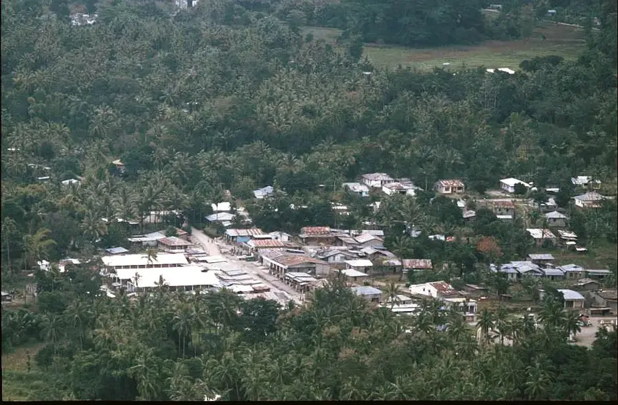
Same
Same is located inland and is surrounded by mountains.
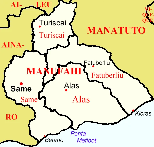
Turiscai
Turiscai is located at an altitude that offers a pleasant climate.
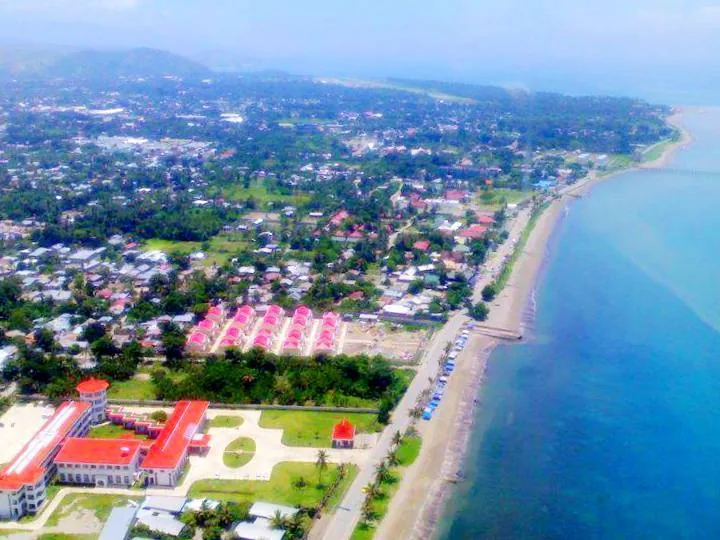
Dili
Dili, the capital of East Timor, is located on the northern coast of Timor island.
Liquiçá
Liquiçá is a coastal city west of Dili with picturesque beaches.
Maliana
Maliana is located near the border with Indonesia and is an important agricultural center.
Alas
Alas is located in the Manufahi municipality.

Fatuberlio
Fatuberlio is a small administrative unit on the coast.
History & landmarks
Virgin Mary Statue on Mount Ramelau
A white alabaster statue of the Virgin Mary perched on the highest peak of the country.
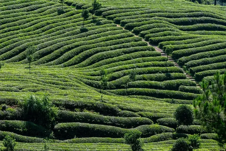
Letefoho Coffee Plantations
Picturesque plantations in the mountains where world-famous organic coffee is grown at high altitudes.
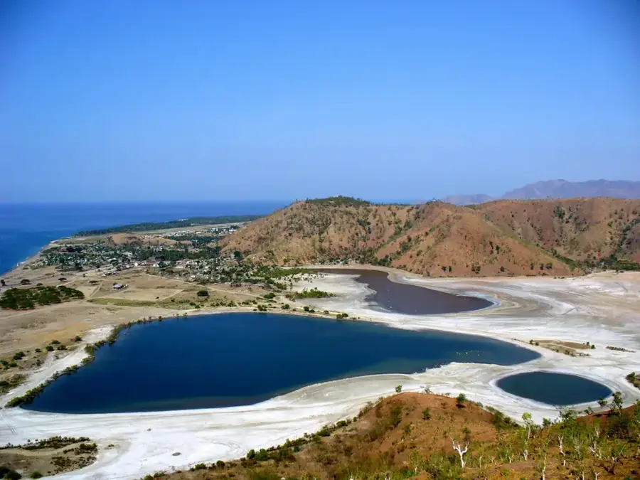
Tasi Tolu Peace Park
An expansive protected area west of Dili, known for its three salt lakes.
Arte Moris Cultural Center
East Timor's first art school and gallery, which promoted local talent after independence.
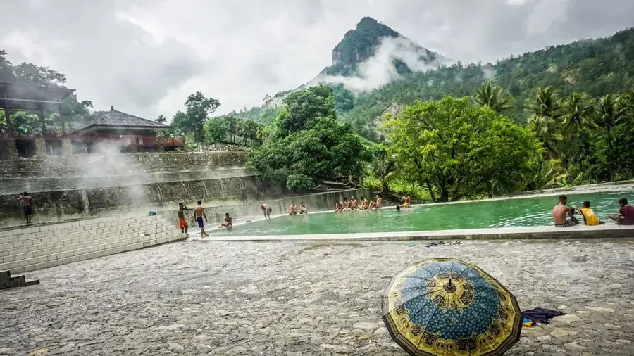
Marobo Hot Springs
Natural hot springs in the mountains, including the remains of an old Portuguese bath complex.
HMAS Voyager Shipwreck
The visible remains on the beach of a Royal Australian Navy destroyer from World War II.
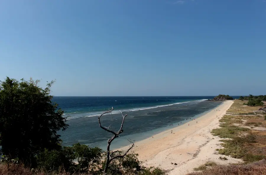
One Dollar Beach
A popular stretch of coastline east of Dili, known for its tranquil atmosphere and beautiful views.
Nature
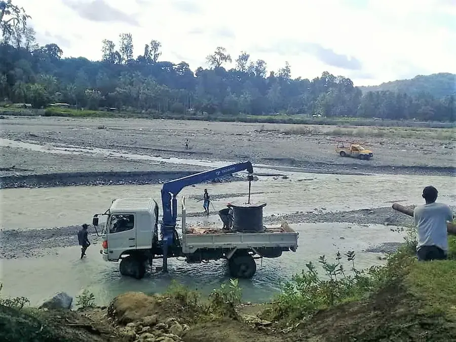
Belulik River
The Belulik River drains the central highlands towards the Timor Sea.
Lake Seloi
Lake Seloi in the Aileu district fills up especially during the rainy season.
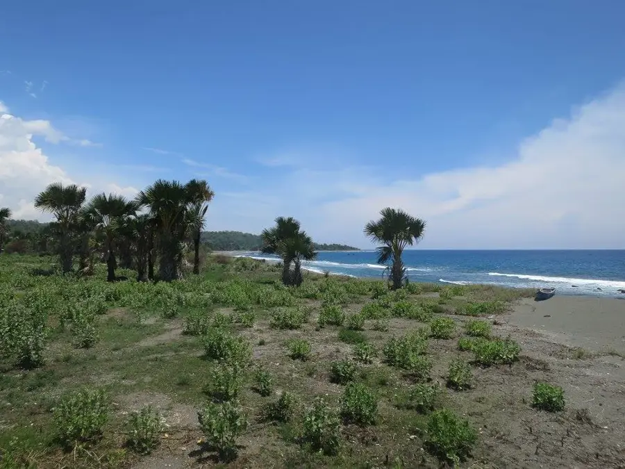
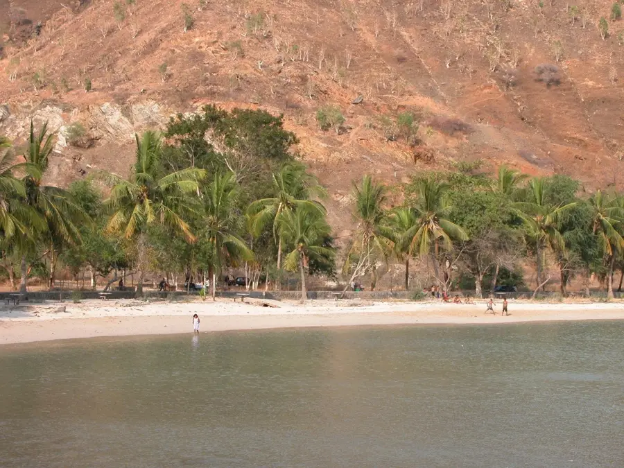
Betano Coast
An open and wild coastal strip on the Timor Sea with prominent black sand beaches.
Caraulun River
The Caraulun cuts through the Manufahi district, shaping a picturesque landscape.
Areia Branca Coast
A crescent-shaped stretch of coast in Dili, captivating with its calm, crystal-clear water.
Dolok Oan Coast
A picturesque stretch of coast behind the Cristo Rei, known for its fine sand.
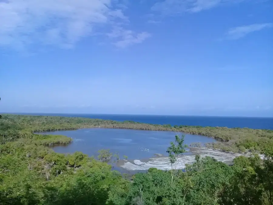
Lake Maubara
Lake Maubara is a coastal lake west of Dili.
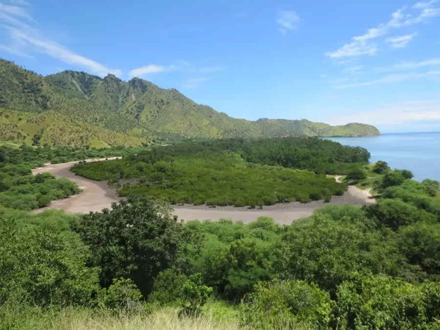
Suai Coast
The southwestern coastal section, characterized by flat beaches and wide river estuaries.
More places
🗺️
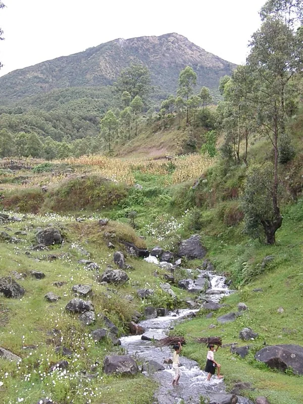
Hato Builico Valley
A high-altitude, cool valley at the foot of Mount Ramelau, known for its agriculture.
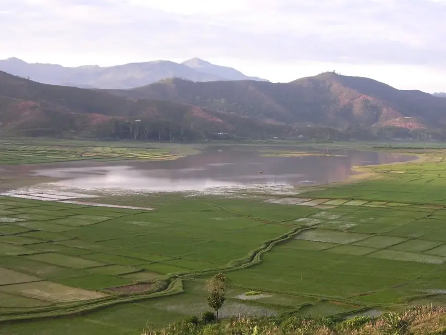
Maubisse Farmlands
The cool plateaus of Maubisse are ideal for growing vegetables, strawberries, and coffee.
Maubisse Pousada
A former hilltop Portuguese governor's mansion that now serves as a guesthouse.
Mount Kablaki
Kablaki is a prominent limestone mountain in the Manufahi district.
Aileu Massacre Memorial
This memorial in the mountain town of Aileu commemorates the Timorese civilians and fighters who were executed in 1942 during the Japanes…
Ermera Coffee Plantations
Extensive coffee plantations in the Ermera mountainous region, known for high-quality Timor coffee.
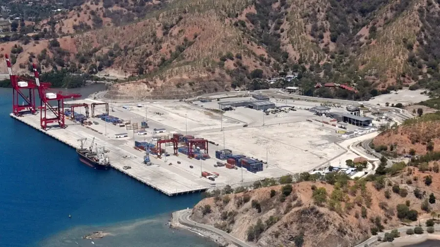
Tibar Bay Port
A modern deepwater port west of Dili that handles the majority of international freight traffic.
Dare Memorial
The memorial honors the Australian soldiers of the 'Sparrow Force' and the Timorese locals who fought together against Japanese invaders …