Plizio Visual Lab
Sarikol Range
Weather…
Water temperature…
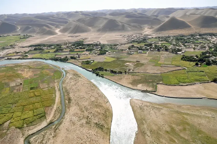
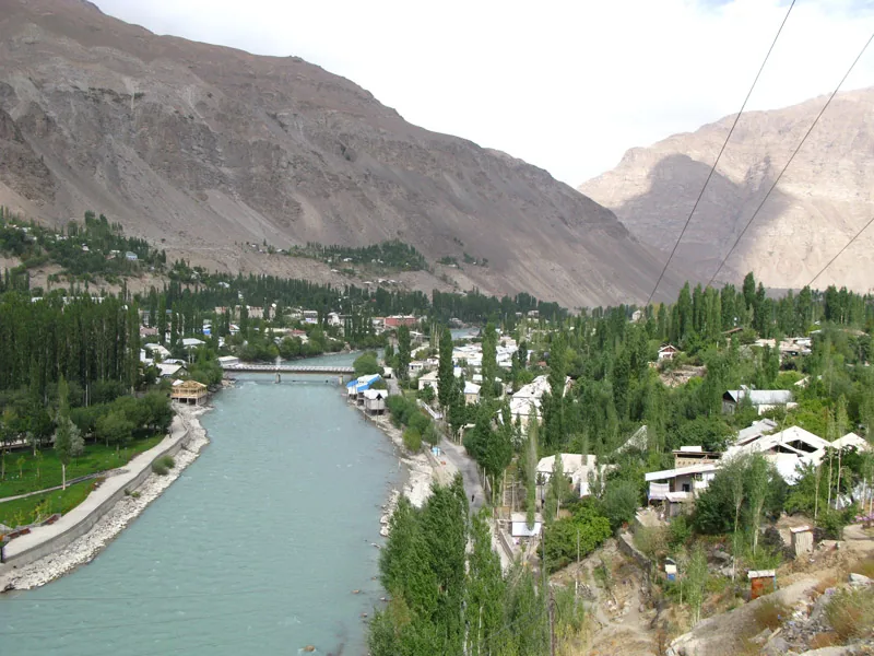
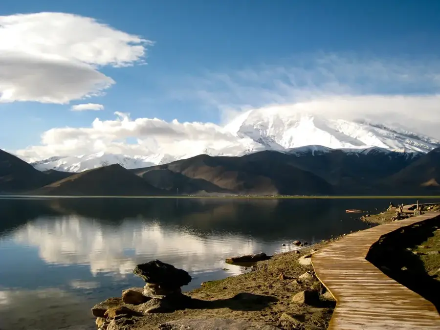
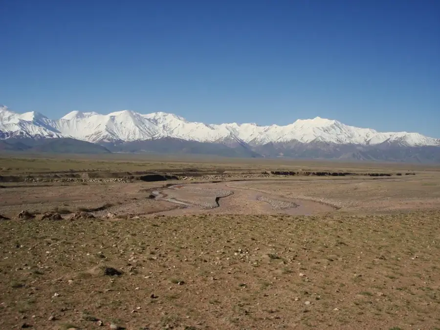
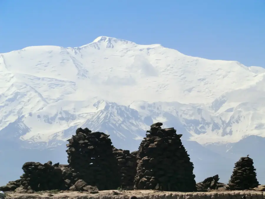
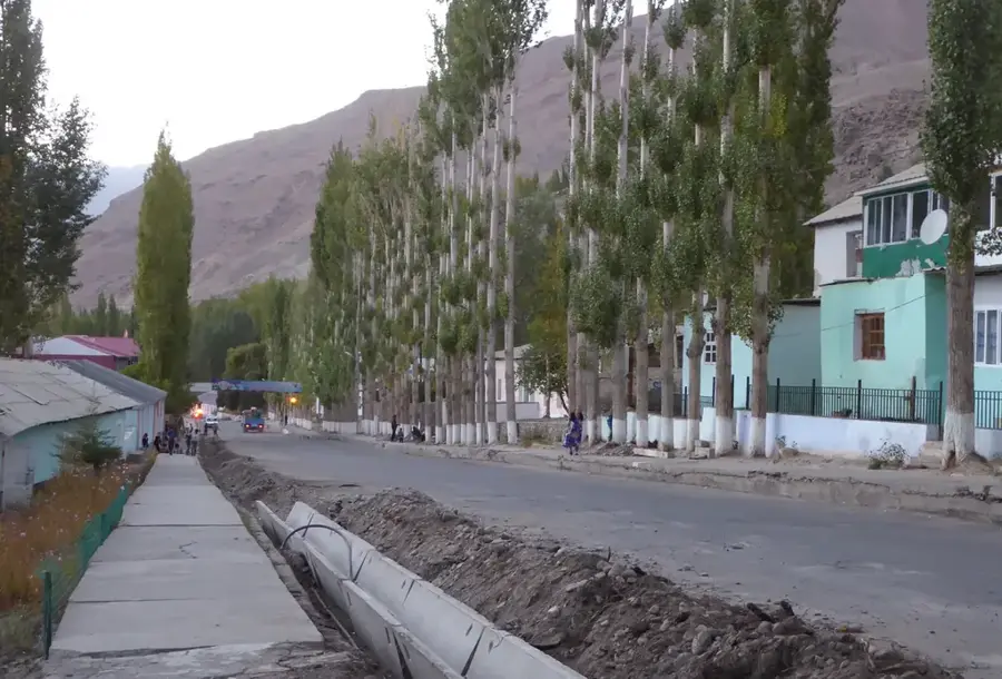
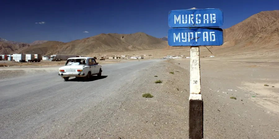
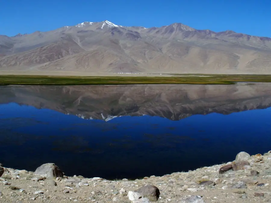
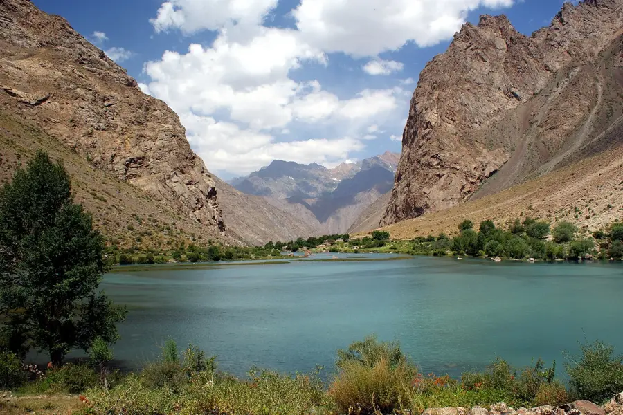
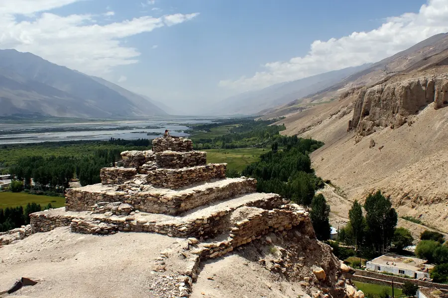
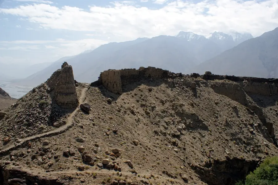
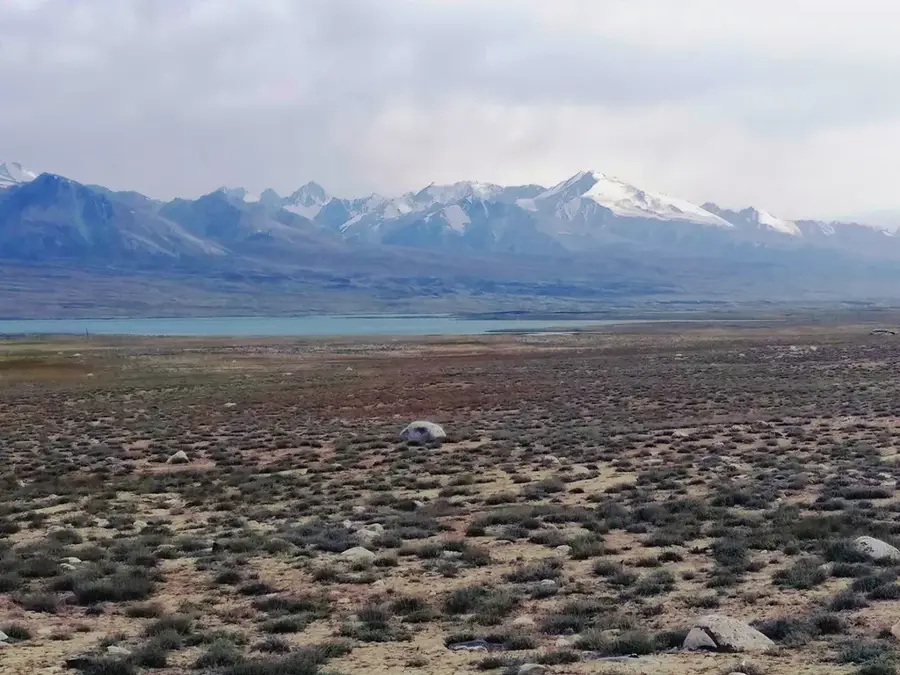
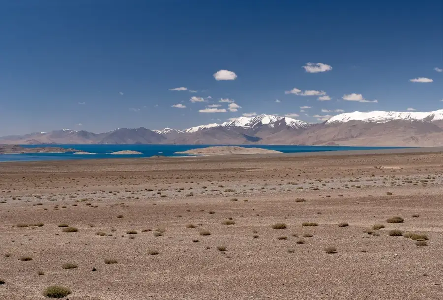
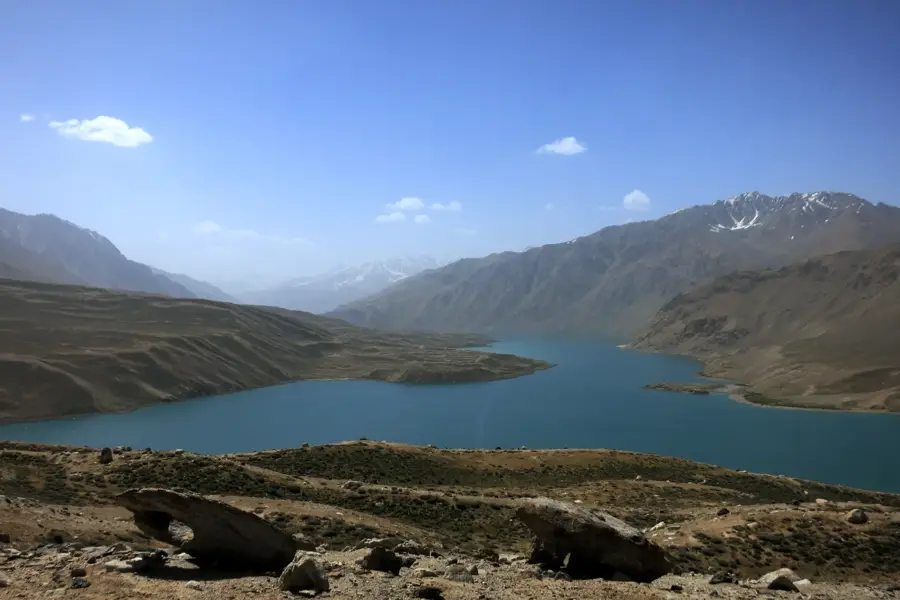
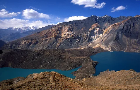
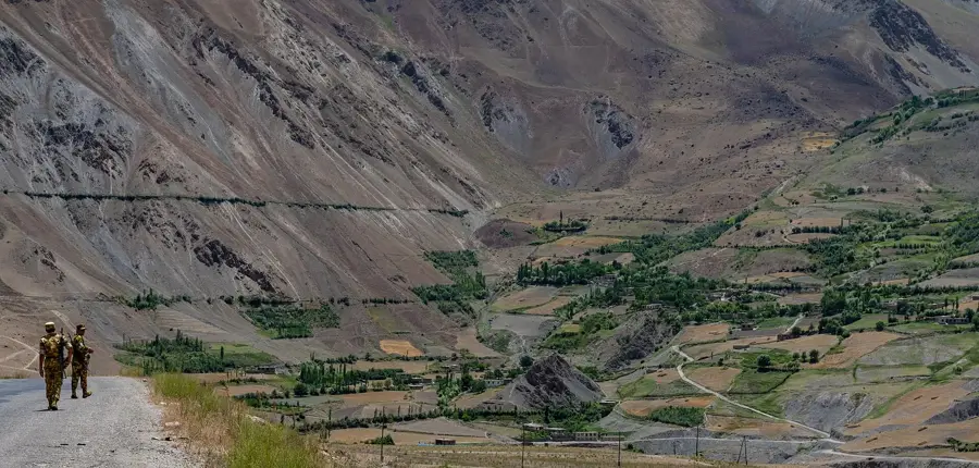
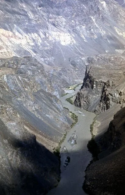
The Sarikol Range is an extensive mountain chain in the eastern Pamir, forming the natural boundary between Tajikistan and the People's Republic of China. Stretching for approximately 350 kilometers, the range runs primarily in a north-south direction along the international border. The average elevation of the range exceeds 5,000 meters, with several peaks rising above 6,000 meters. Geographically, the Sarikol Range serves as a major watershed between the Tarim Basin to the east and the Amu Darya Basin to the west. The landscape is characterized by an extremely arid high-altitude climate, resulting in a barren, desert-like environment with minimal vegetation. The Kulma Pass, at an elevation of 4,362 meters, is the only official border crossing between Tajikistan and China and is crucial for regional trade. Geologically, the range consists of metamorphic rocks and granites formed during the Alpine orogeny. Historically part of the Silk Road network, the Sarikol Range continues to be a strategically significant corridor in Central Asia.
Best time to visit & climate
The most pleasant time to visit is Jun–Aug.
| Jan | Feb | Mar | Apr | May | Jun | Jul | Aug | Sep | Oct | Nov | Dec | |
|---|---|---|---|---|---|---|---|---|---|---|---|---|
| Avg °C | -17 | -15 | -9 | -3 | 1 | 5 | 8 | 7 | 2 | -3 | -9 | -15 |
| Rain mm | 5 | 5 | 5 | 7 | 12 | 9 | 12 | 9 | 8 | 3 | 3 | 3 |
📋 Practical info
Geography
Facts
- The Sarikol Range forms a 350-kilometer natural border with China.
- The average elevation of the entire range is above 5,000 meters.
- Kulma Pass, at 4,362 meters, is the primary trade link with China.
- The range acts as a watershed between the Tarim and Amu Darya basins.
- Metamorphic rocks and granites are the main geological components.
- The environment is categorized as a high-altitude cold desert.
Explore nearby
Notable places around
Route planner — Car & Motorhome
Where do you start? We build the route here, with stops and country notes along the way.
© OpenStreetMap contributors · OpenRouteService
Sights nearby
Frequently asked questions
Does the Sarikol-Gebirge belong to Tajikistan?
Is hiking near the border allowed?
What is the scenic highlight?
Are there tourist accommodations there?
Is the area windy?
Sarikol Range: where is it located?
Sarikol Range: when is the best time to visit?
Sarikol Range: why is it worth visiting?

Nearby cities
History & landmarks
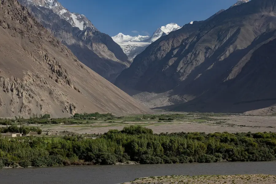
Nature

More places