Plizio Visual Lab
Dulanshan

Weather…
Water temperature…
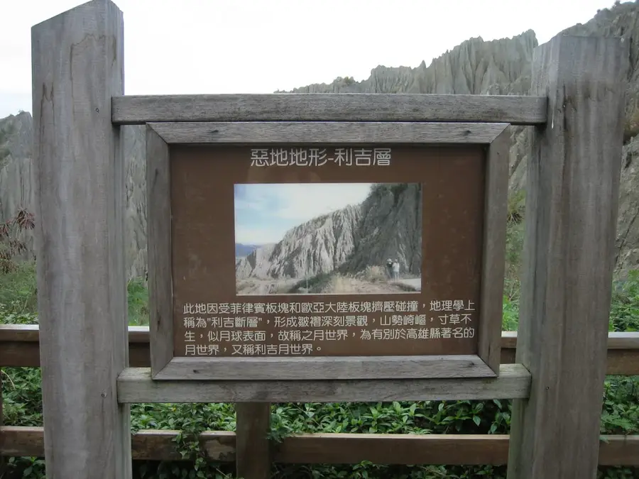
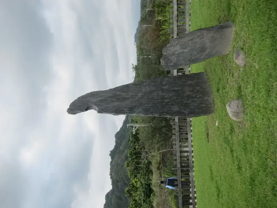
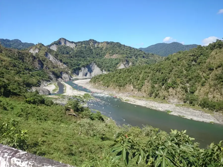
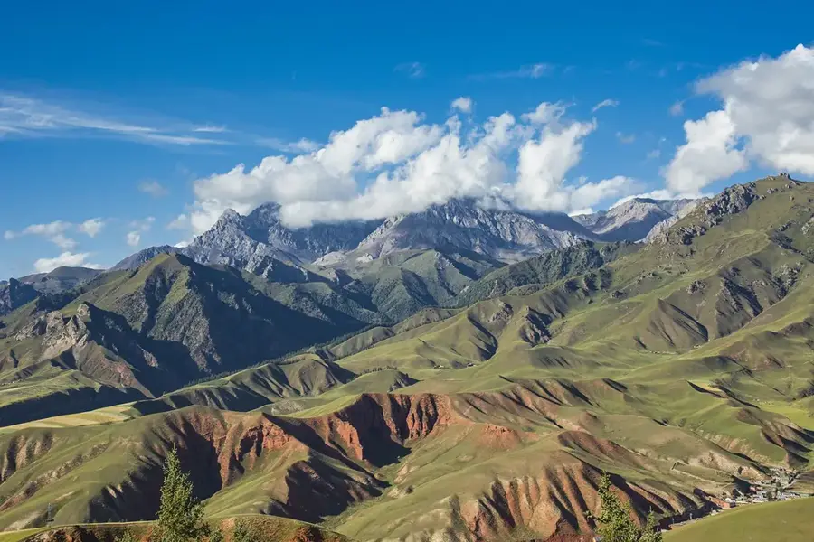
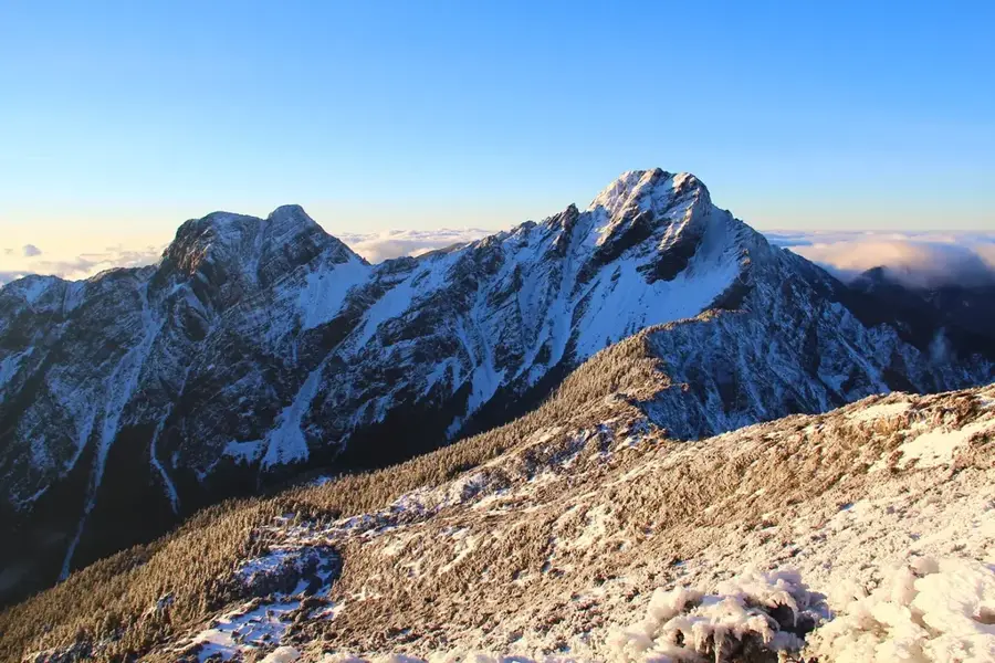
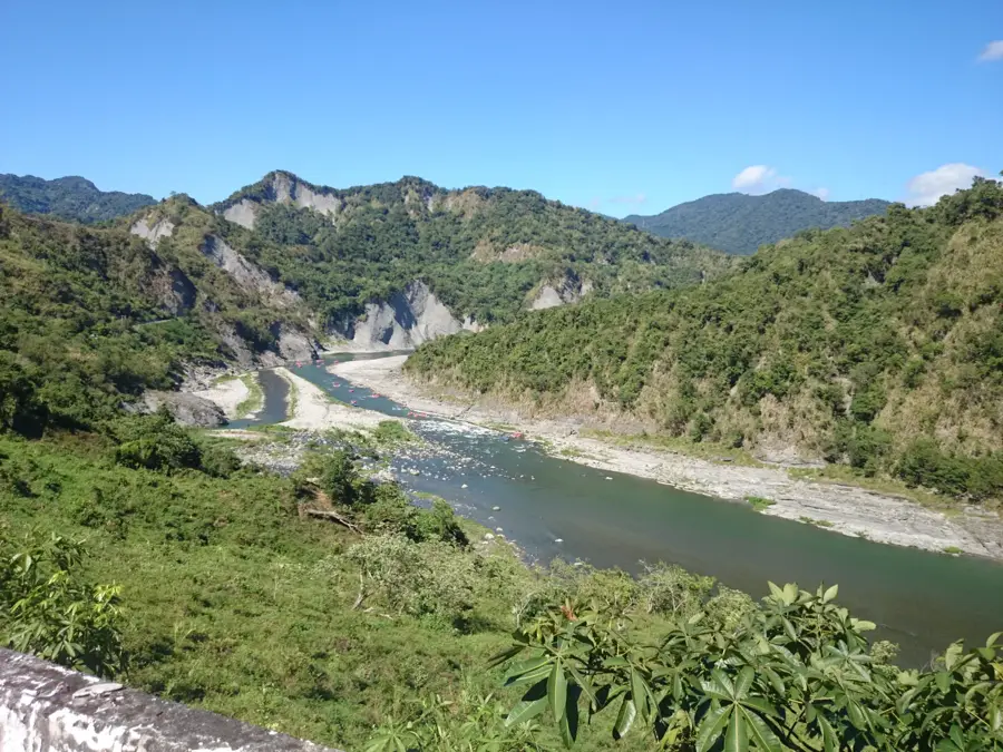
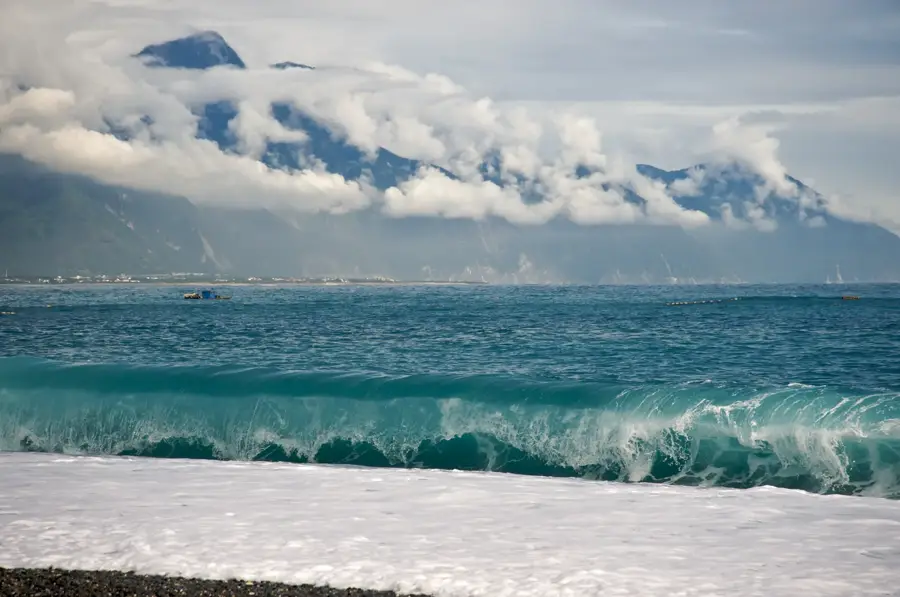
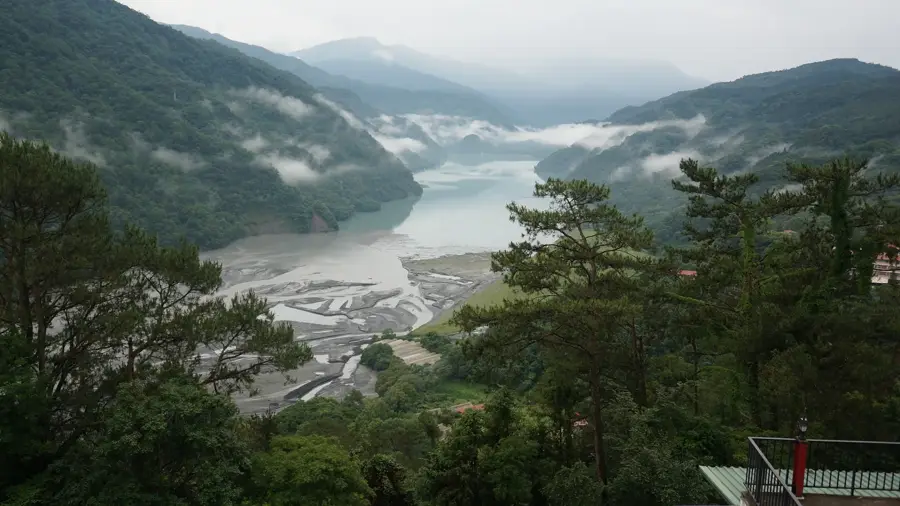
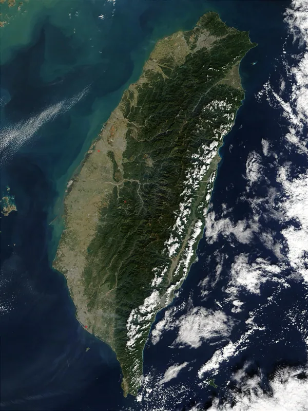
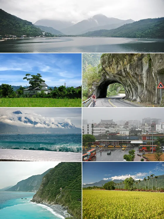
Dulanshan, standing at an elevation of 1,190 meters, is the highest peak in the southern section of Taiwan's Coastal Range. For the indigenous Amis and Puyuma peoples, the mountain holds deep spiritual significance and is revered as a sacred site of their ancestors. Often referred to as the "Sacred Mountain of the East," it plays a central role in the myths and traditional rituals of local communities. Geologically, Dulanshan is part of a volcanic island arc formed by the subduction of the Philippine Sea Plate and is primarily composed of andesitic rock. The mountain's microclimate results in frequent fog, lending the landscape a mystical atmosphere and fostering the growth of lush subtropical rainforests. Archaeological sites near the mountain indicate human habitation dating back thousands of years, including megalithic remains of the Beinan culture. Today, Dulanshan is a popular destination for hikers and cultural tourists interested in Taiwan's indigenous history. The ascent provides spectacular views of the Pacific Ocean and the expansive Huatung纵谷 (East Rift Valley).
- Location: Taiwan
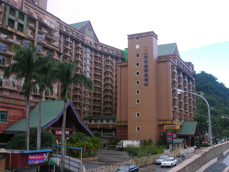
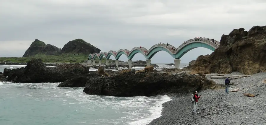
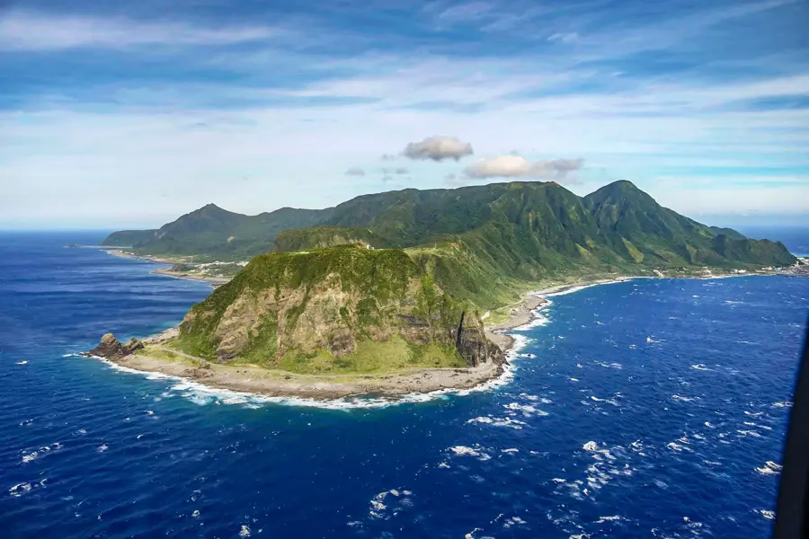
- Top sights: Dulan nose · Nagisa Bridge · The Water runing upward park
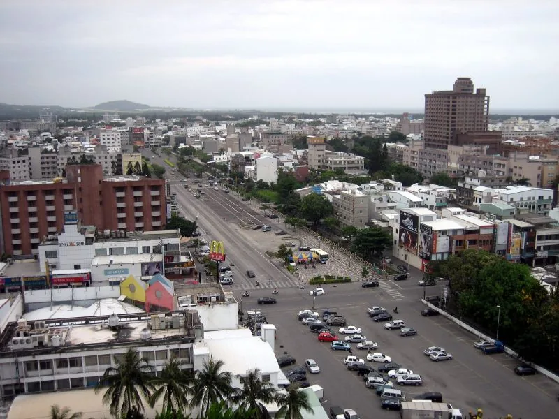
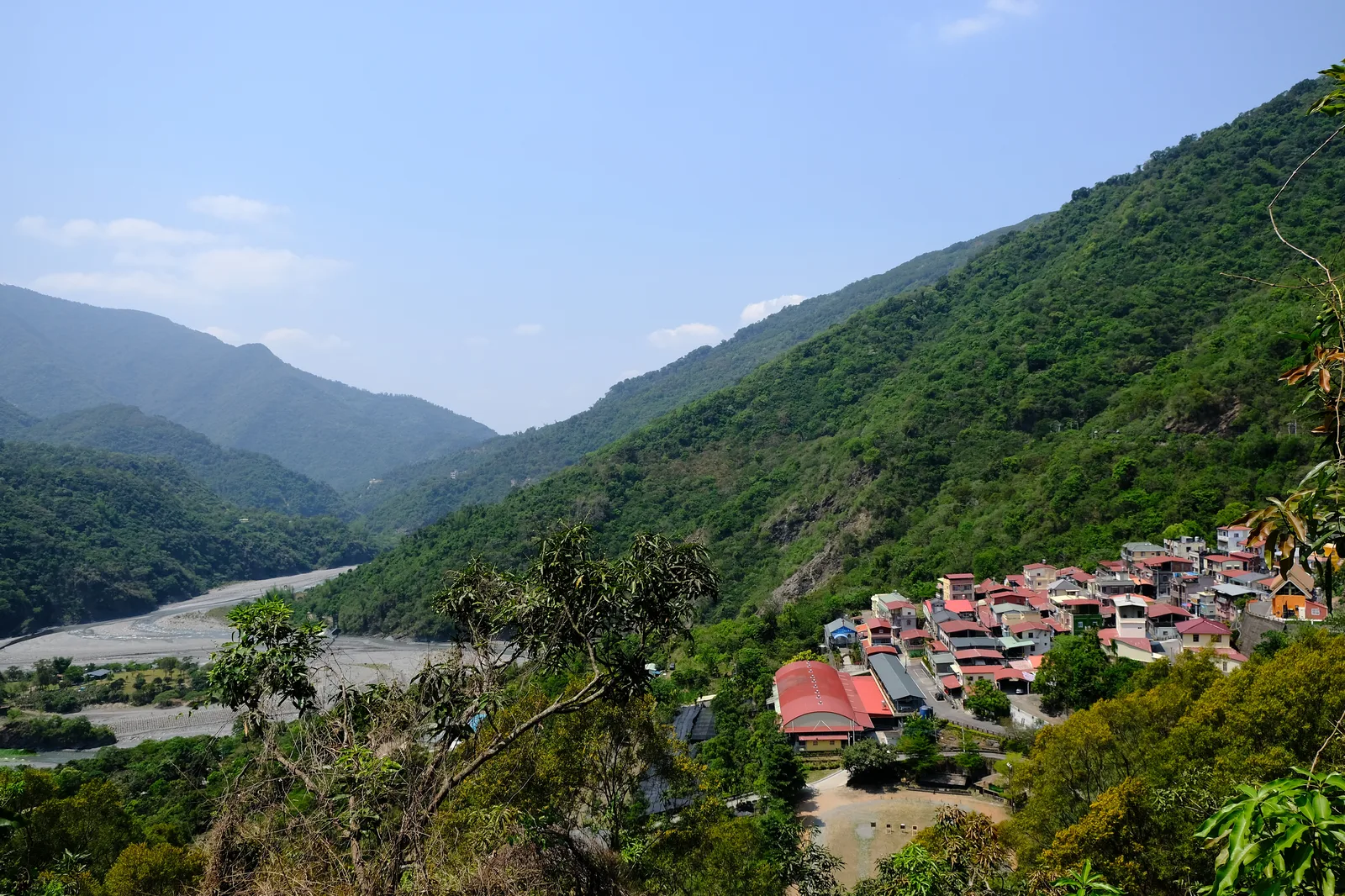
- Nearby: Taitung (10 km)
Best time to visit & climate
The most pleasant time to visit is Mar, Nov, Dec.
| Jan | Feb | Mar | Apr | May | Jun | Jul | Aug | Sep | Oct | Nov | Dec | |
|---|---|---|---|---|---|---|---|---|---|---|---|---|
| Avg °C | 17 | 18 | 20 | 22 | 24 | 25 | 26 | 26 | 25 | 23 | 21 | 18 |
| Rain mm | 51 | 45 | 60 | 80 | 206 | 277 | 272 | 370 | 261 | 90 | 70 | 42 |
📋 Practical info
Geography
Facts
- The summit elevation is 1,190 meters above sea level.
- The mountain is primarily composed of volcanic andesite.
- It is the highest peak in the southern part of the Coastal Range.
- Dulan is a key center for the indigenous Amis people's culture.
- The area is famous for Neolithic archaeological finds and megaliths.
- The hiking trail to the summit is approximately 3.8 kilometers long.
Explore nearby
Notable places around
Route planner — Car & Motorhome
Where do you start? We build the route here, with stops and country notes along the way.
© OpenStreetMap contributors · OpenRouteService
Sights in the town Dulanshan (8)
Sights nearby
Frequently asked questions
How long does a hike up Dulanshan take?
Is the hike suitable for children?
Do I need a permit for the mountain?
Where can I park nearby?
What is the best time of day to hike?
Dulanshan: where is it located?
Dulanshan: what is there to see?
Dulanshan: when is the best time to visit?
Dulanshan: why is it worth visiting?

Nearby cities


History & landmarks

Nature
More places