Plizio Visual Lab
Alangyi Coast

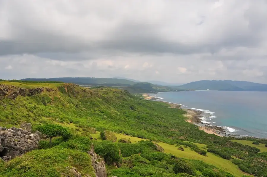
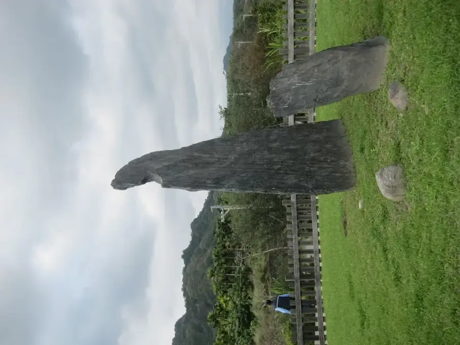
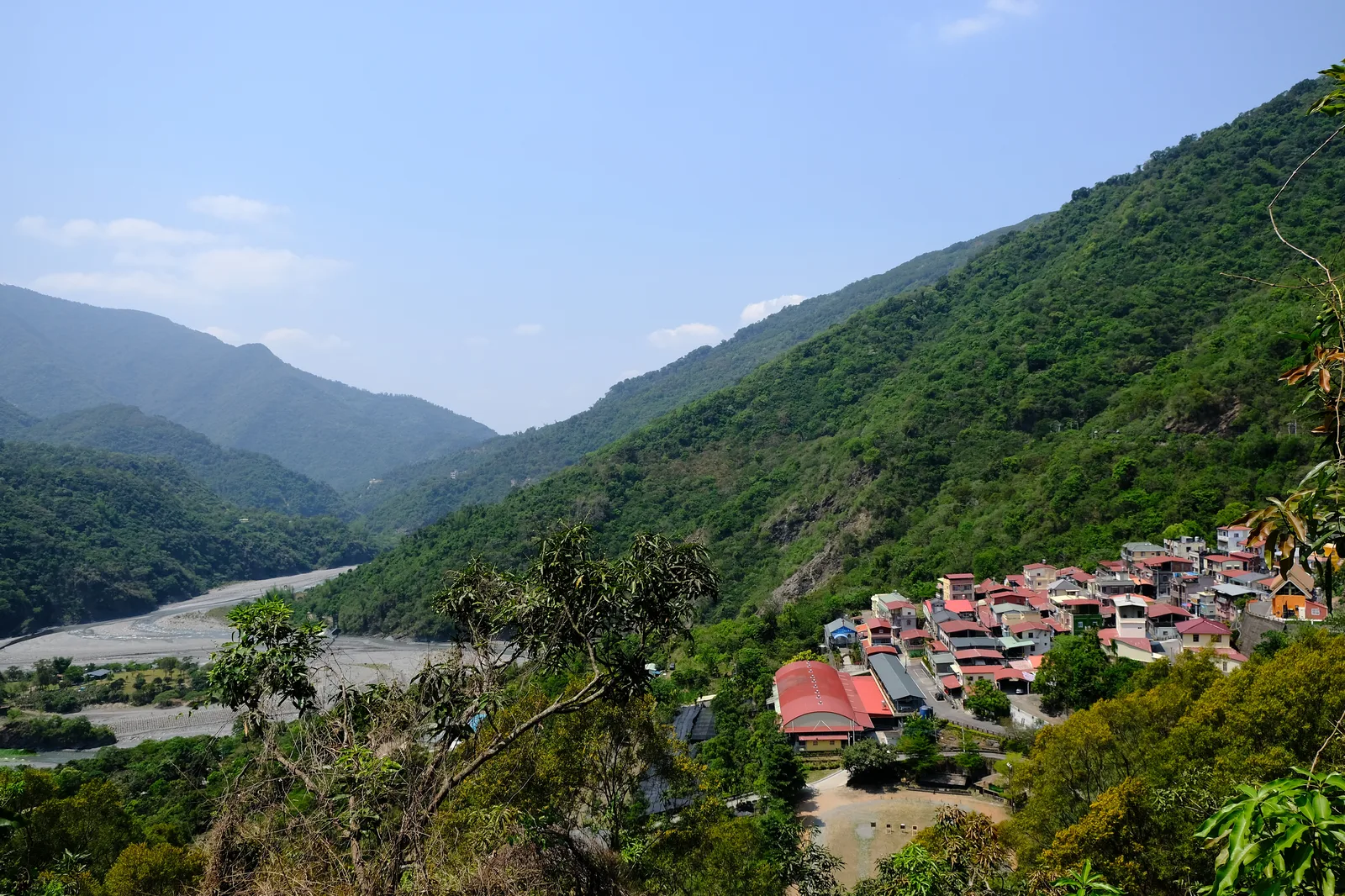
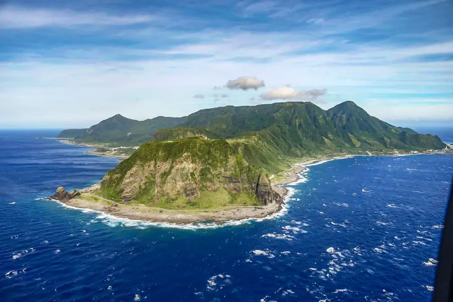
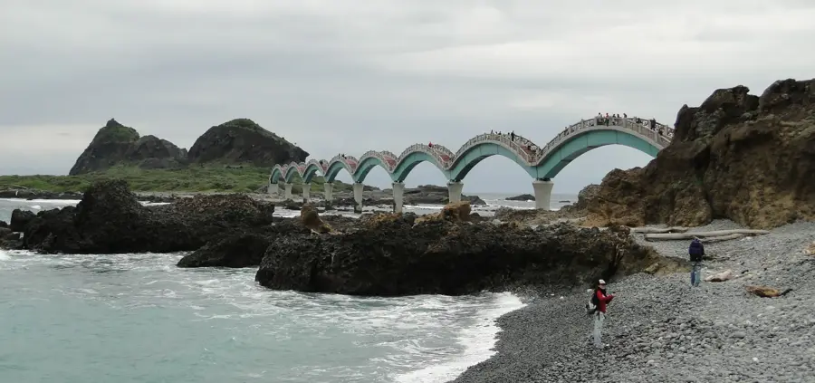
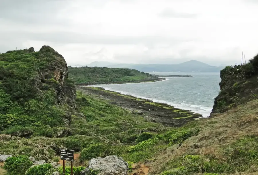
The Alangyi Coast, situated in southeastern Taiwan between Pingtung and Taitung counties, is one of the island's last pristine coastal stretches. The historic trail running along this shoreline was once a vital route for trade and migration for the indigenous Paiwan and Puyuma peoples. Geographically, the area is defined by steep mudstone cliffs and distinctive pebble beaches that interface directly with the Pacific Ocean. Because no modern highway was ever built here, the ecosystem remains largely intact, providing a sanctuary for rare species such as the green sea turtle. The flora is uniquely adapted to saline air and strong winds, featuring Pandanus palms and various coastal scrub species. Following years of environmental advocacy, the area was officially designated as a nature reserve in 2012. Today, the Alangyi trail is a premier destination for ecotourism, with access strictly regulated to preserve its natural beauty and archaeological significance. Hikers must navigate steep sections like the Guanyin-nose Mountain, but they are rewarded with unparalleled ocean vistas.
- Location: Taiwan
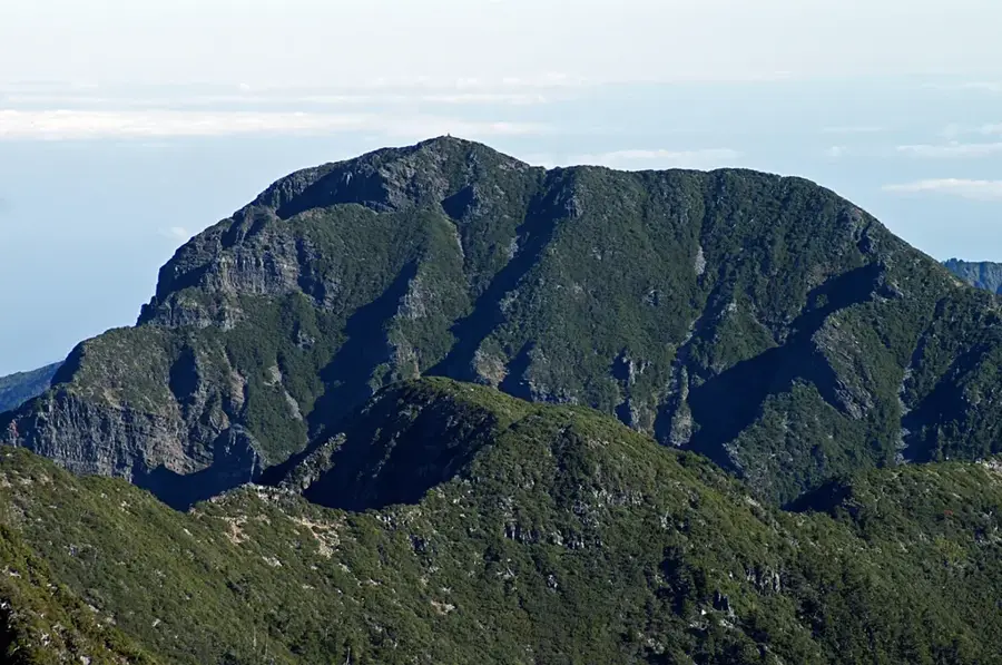
- Top sights: Peony Bay · Taiheshan · Guanyinbi
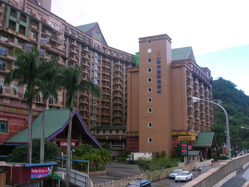
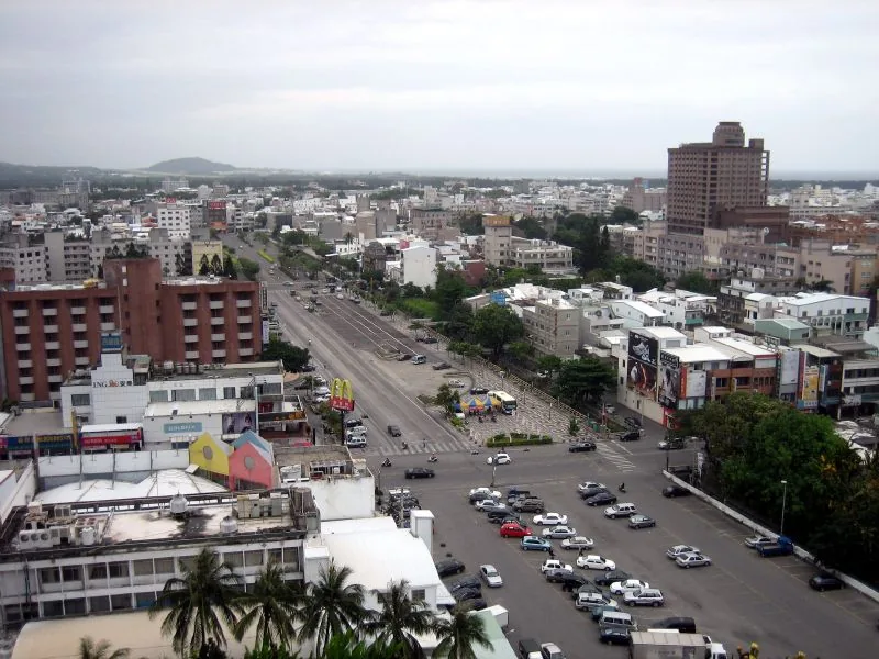
- Nearby: Hengchun (22 km)
Best time to visit & climate
The most pleasant time to visit is Jan, Feb, Dec.
| Jan | Feb | Mar | Apr | May | Jun | Jul | Aug | Sep | Oct | Nov | Dec | |
|---|---|---|---|---|---|---|---|---|---|---|---|---|
| Avg °C | 21 | 21 | 22 | 24 | 27 | 28 | 28 | 28 | 27 | 26 | 24 | 21 |
| Rain mm | 47 | 41 | 53 | 68 | 176 | 259 | 290 | 398 | 260 | 93 | 72 | 47 |
📋 Practical info
Geography
Facts
- The total length of the Alangyi Historic Trail is approximately 8.4 kilometers.
- The area was officially designated a nature reserve on January 20, 2012.
- It is the only coastal segment in Taiwan without a paved highway.
- The beaches are composed of uniquely smooth, rounded black pebbles.
- Visitors must apply for entry permits at least 3 days in advance.
- The cliffs at Guanyin-nose rise over 200 meters above the sea.
Explore nearby
Notable places around
Route planner — Car & Motorhome
Where do you start? We build the route here, with stops and country notes along the way.
© OpenStreetMap contributors · OpenRouteService
Sights in the town Alangyi Coast (6)
Sights nearby
Frequently asked questions
Why is the Alangyi coast so popular?
Is a reservation required for access?
Is the path suitable for beginners?
Is there shade on the path?
What should I definitely bring?
Alangyi Coast: where is it located?
Alangyi Coast: what is there to see?
Alangyi Coast: when is the best time to visit?
Alangyi Coast: why is it worth visiting?

Nearby cities


History & landmarks


Nature
More places