Plizio Visual Lab
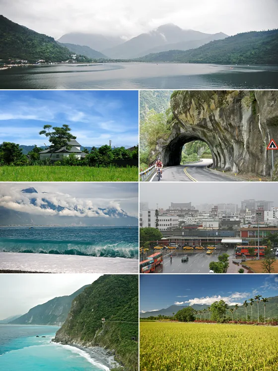
Xiuguluan River
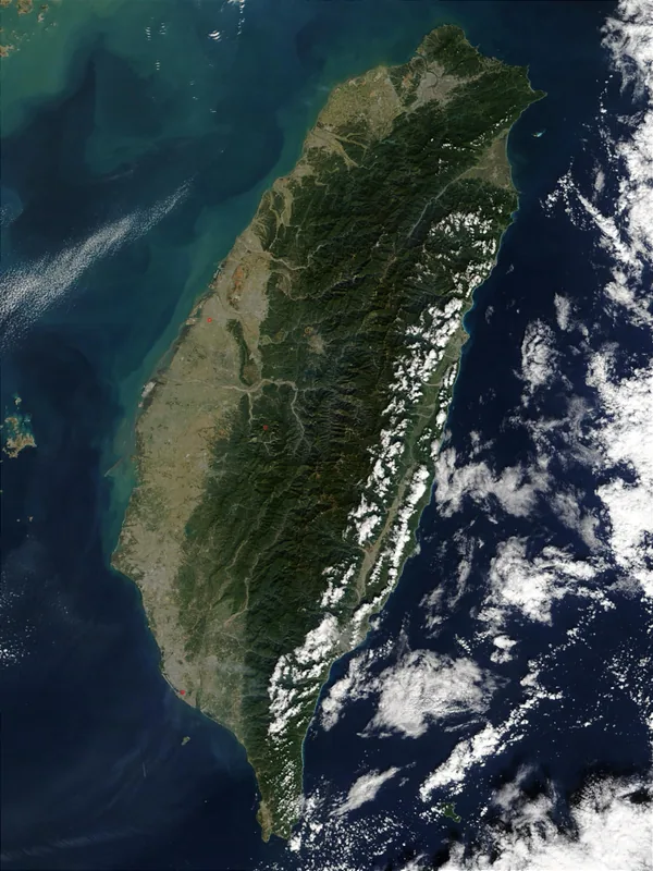
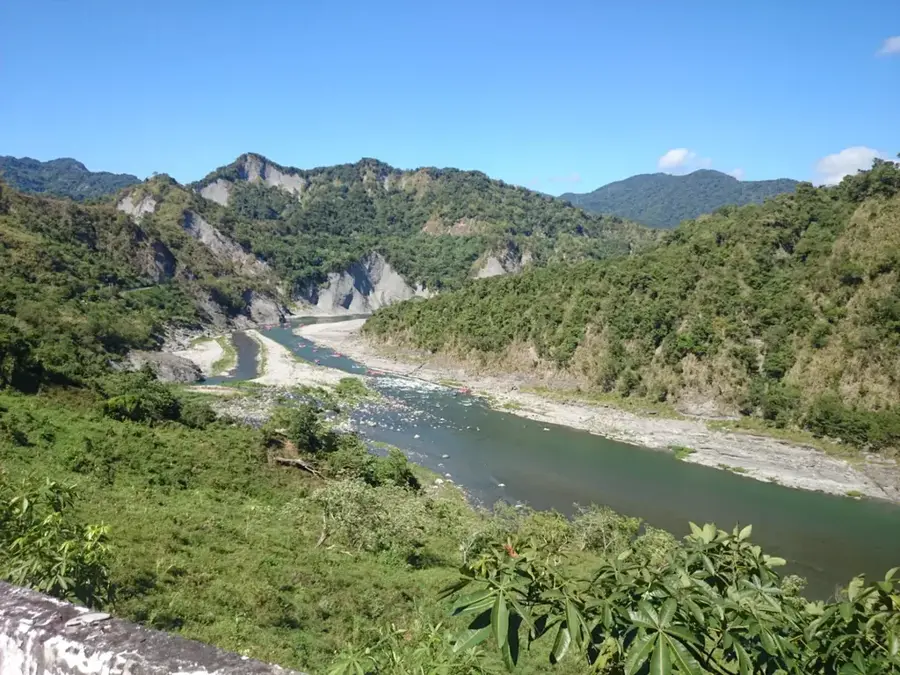
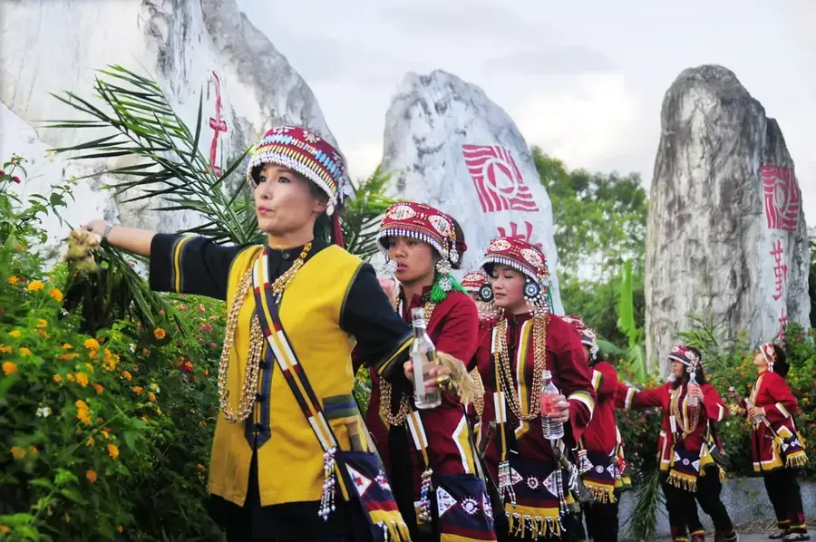
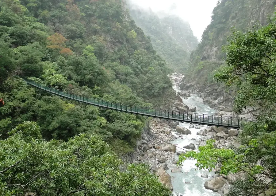
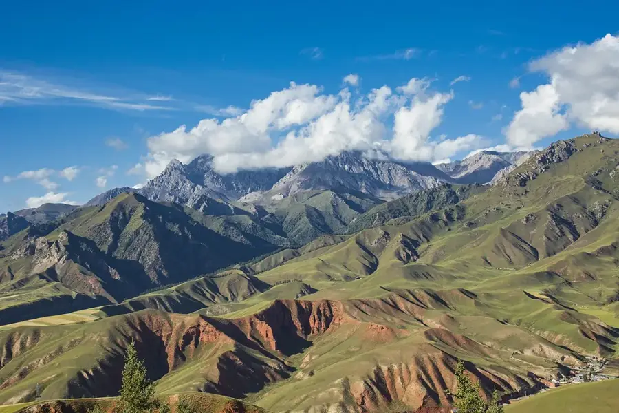
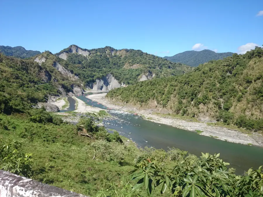
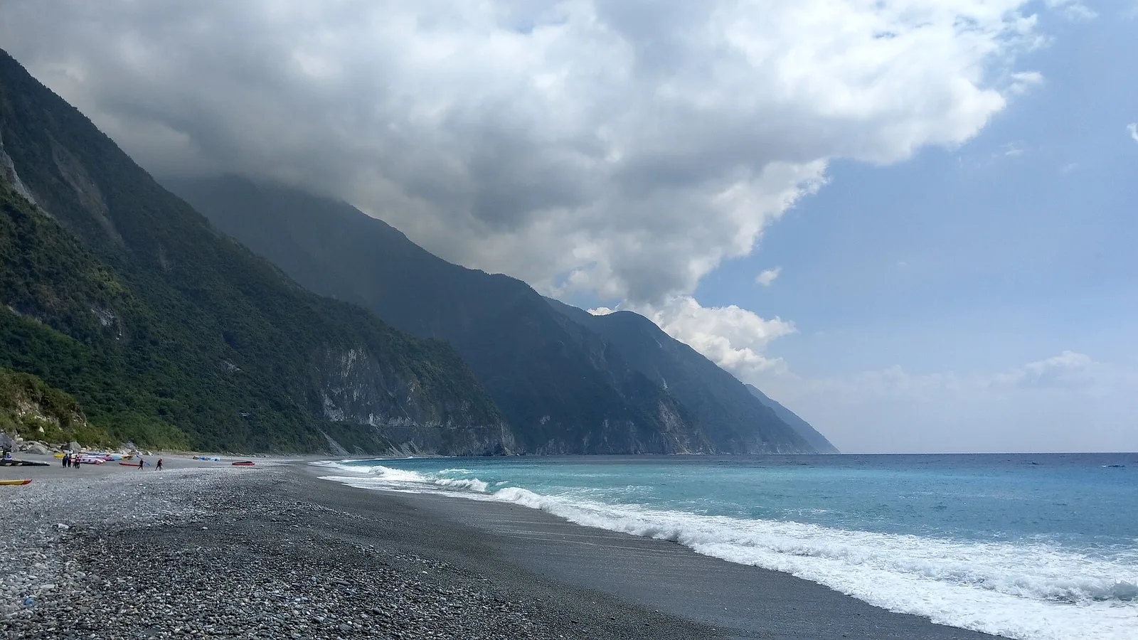
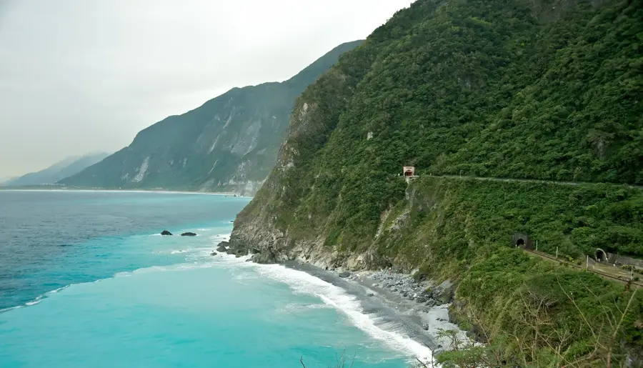
The Xiuguluan River is the longest river in eastern Taiwan and is internationally renowned for its exhilarating white-water rafting opportunities. Originating in the Central Mountain Range, it flows for 81 kilometers through the East Rift Valley before carving a spectacular gorge through the Coastal Range to empty into the Pacific Ocean at Dagangkou. Geologically, the river is unique as it maintained its course by eroding through the rising Coastal Range, creating striking white marble boulders and dramatic rock formations along its bed. The rafting season attracts thousands of adventurers annually, with the primary route spanning from Ruisui to the iconic Changhong Bridge. Historically, the riverbanks have been home to the indigenous Amis people, who maintain deep cultural and spiritual ties to the waterway. The river is essential for irrigating the productive rice paddies of the Hualien basin. Despite its popularity as a recreational hub, the river's ecosystem remains relatively pristine, supporting diverse endemic fish species. The striking red Changhong Bridge at the river's mouth serves as a landmark and the traditional finish line for rafting expeditions.
- Location: Taiwan
- Top sights: Zhiluoshan · Maopingshan · Shuimuding
- Nearby: Ruisui (14 km)
Best time to visit & climate
The most pleasant time to visit is Apr, Oct, Nov.
| Jan | Feb | Mar | Apr | May | Jun | Jul | Aug | Sep | Oct | Nov | Dec | |
|---|---|---|---|---|---|---|---|---|---|---|---|---|
| Avg °C | 14 | 15 | 17 | 20 | 22 | 23 | 24 | 23 | 22 | 20 | 18 | 14 |
| Rain mm | 64 | 58 | 79 | 97 | 229 | 269 | 236 | 337 | 266 | 105 | 83 | 53 |
📋 Practical info
Geography
Facts
- Longest river in eastern Taiwan at 81 kilometers.
- Premier white-water rafting destination in the region.
- Features over 20 sets of rapids along the 24km rafting route.
- Geologically unique for cutting through the Coastal Range.
- Named after the indigenous Amis word for 'vessel' or 'bowl'.
- The red Changhong Bridge is a major regional landmark.
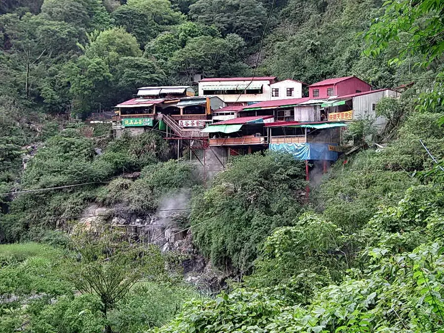
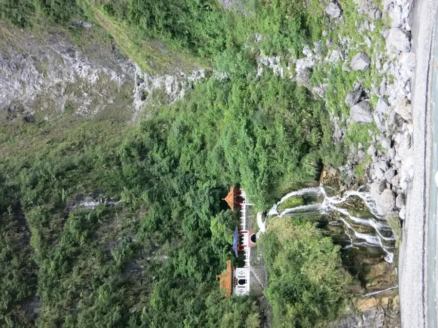
Explore nearby
Notable places around
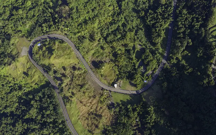
Route planner — Car & Motorhome
Where do you start? We build the route here, with stops and country notes along the way.
© OpenStreetMap contributors · OpenRouteService
Sights in the town Xiuguluan River (6)
Sights nearby
Frequently asked questions
Is rafting possible on the Xiuguluan River?
Is experience required for rafting?
What gear should I bring for rafting?
How long does a typical rafting tour last?
Is the river open for rafting all year?
Xiuguluan River: where is it located?
Xiuguluan River: what is there to see?
Xiuguluan River: when is the best time to visit?
Xiuguluan River: why is it worth visiting?

Nearby cities


History & landmarks
Nature
More places