Plizio Visual Lab
Xiuguluanshan
Weather…
Water temperature…
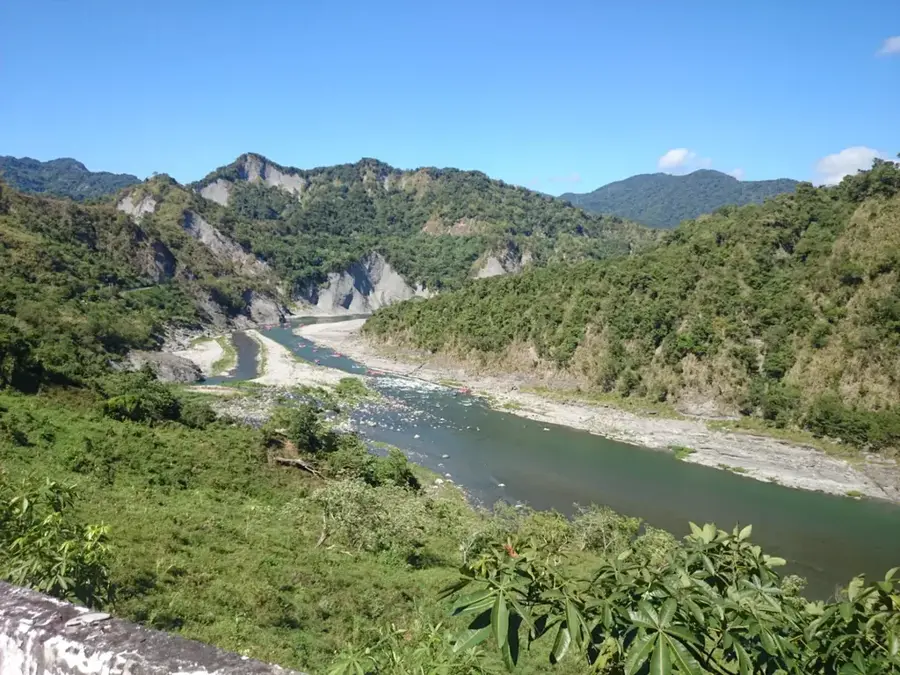
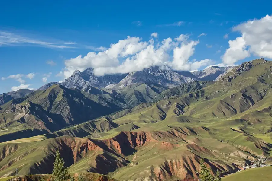
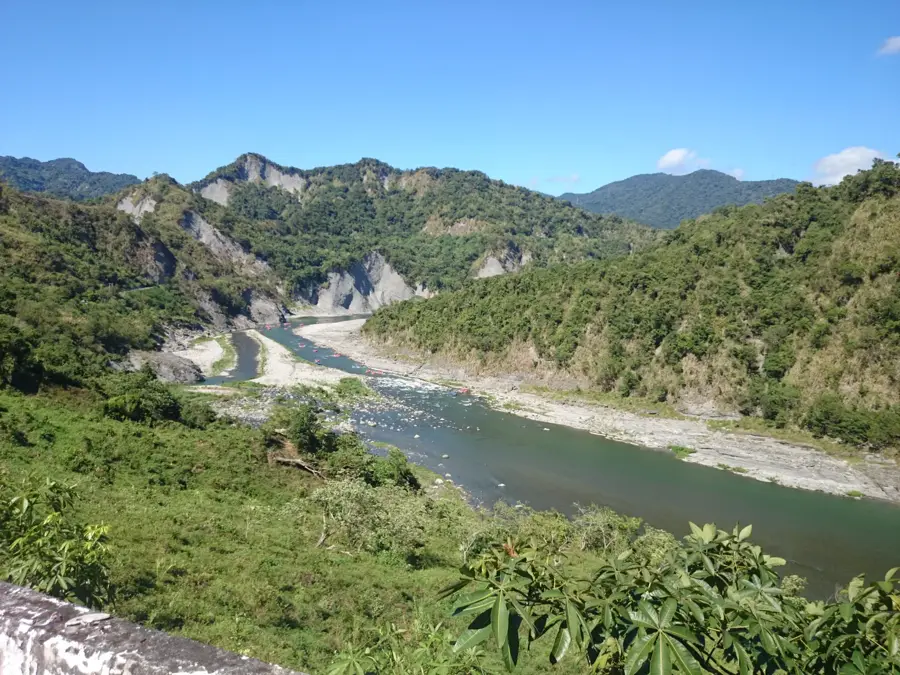
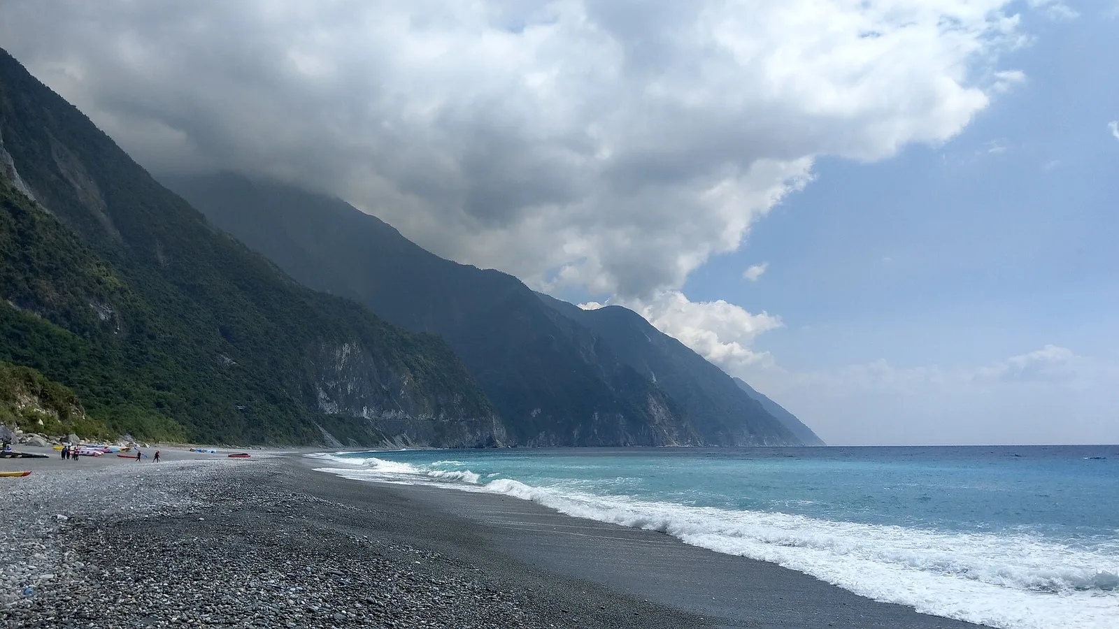
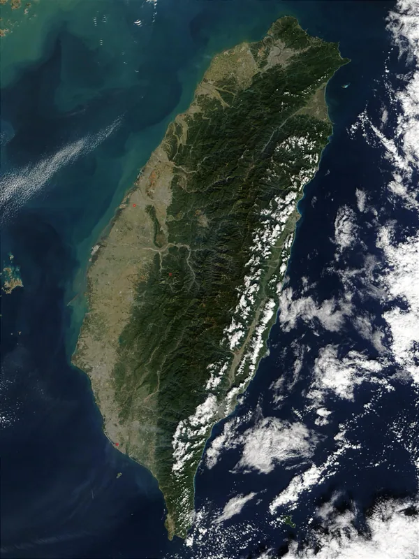
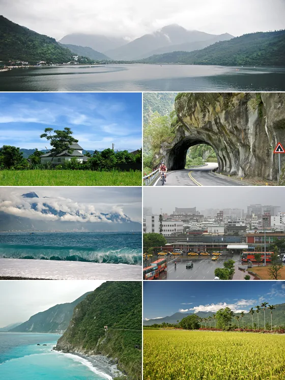
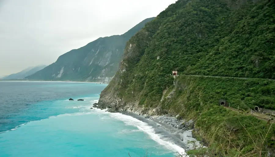
Xiuguluanshan is the highest peak of the Central Mountain Range in Taiwan and the third-highest mountain on the island, reaching an elevation of 3,825 meters. Located within Yushan National Park on the border of Nantou and Hualien counties, it serves as the central pillar of Taiwan's rugged interior. Geologically, the mountain is composed of metamorphic rocks such as slate and quartzite, formed during the rapid uplifting of the island's main range. Xiuguluanshan is famous for its hauntingly beautiful 'silver forests,' which consist of dead Formosan junipers (Juniperus squamata) that have been bleached white by the elements over decades. The mountain is also the primary source of the Xiuguluan River, the largest river system in eastern Taiwan, noted for its spectacular whitewater gorges. Its massive height and central location provide climbers with an unparalleled 360-degree view of almost all Taiwan's major peaks. The ascent is technically demanding due to the thin air and unpredictable alpine weather conditions.
- Location: Taiwan
- Top sights: Wushuangshan · Zhushan · Benxiangshan
- Nearby: Qixingtan (25 km)
Best time to visit & climate
The most pleasant time to visit is Apr, Oct, Nov.
| Jan | Feb | Mar | Apr | May | Jun | Jul | Aug | Sep | Oct | Nov | Dec | |
|---|---|---|---|---|---|---|---|---|---|---|---|---|
| Avg °C | 14 | 15 | 17 | 20 | 22 | 23 | 24 | 23 | 22 | 20 | 18 | 14 |
| Rain mm | 64 | 58 | 79 | 97 | 229 | 269 | 236 | 337 | 266 | 105 | 83 | 53 |
📋 Practical info
Geography
Facts
- The peak stands at 3,825 meters, the highest in the Central Range
- It is the source of the Xiuguluan River, eastern Taiwan's largest river
- The mountain is known for its dead 'white' juniper forests
- It is the third-highest mountain in Taiwan after Yushan and Xueshan
- Geology consists mainly of metamorphic slate and quartzite
- The summit provides a view of nearly all peaks over 3,000 meters in Taiwan
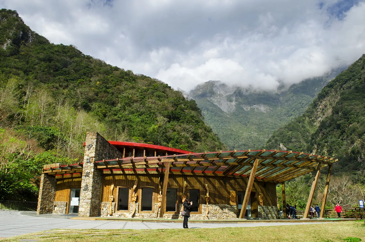
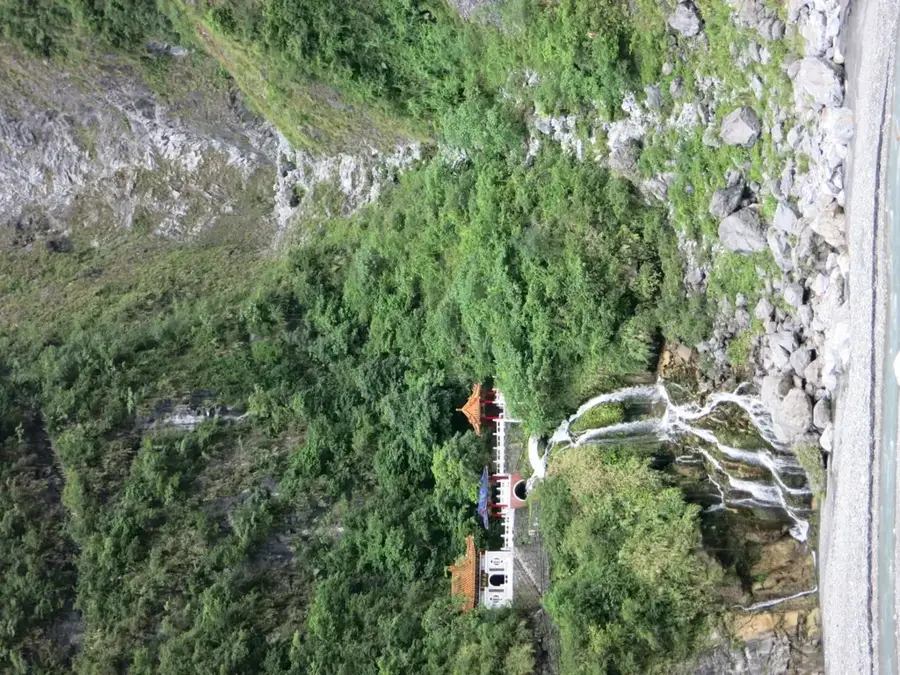
Explore nearby
Notable places around
Route planner — Car & Motorhome
Where do you start? We build the route here, with stops and country notes along the way.
© OpenStreetMap contributors · OpenRouteService
Sights in the town Xiuguluanshan (3)
Sights nearby
Frequently asked questions
What is the difficulty of the climb?
Do I need a permit?
What is the best season?
Are there accommodation options?
Is the trail family-friendly?
Xiuguluanshan: where is it located?
Xiuguluanshan: what is there to see?
Xiuguluanshan: when is the best time to visit?
Xiuguluanshan: why is it worth visiting?

Nearby cities


History & landmarks
Nature
More places