Plizio Visual Lab
Rouj Basin
Weather…
Water temperature…
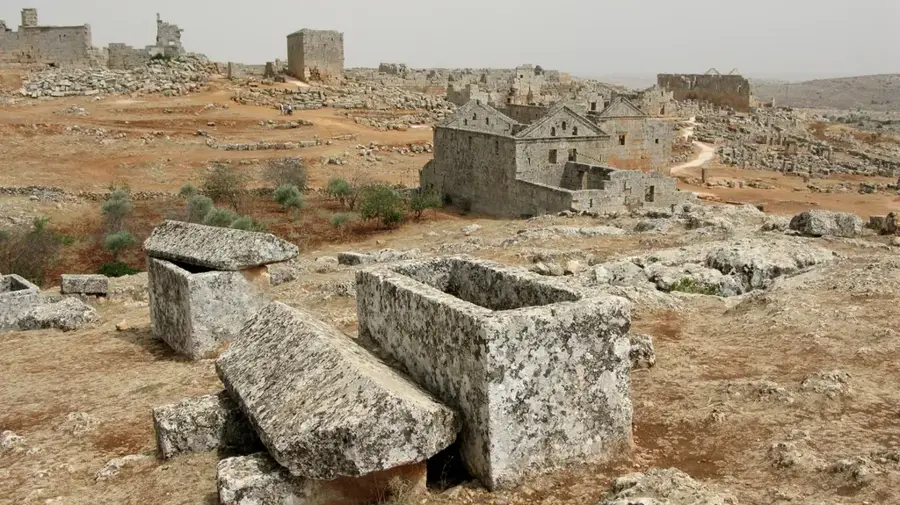
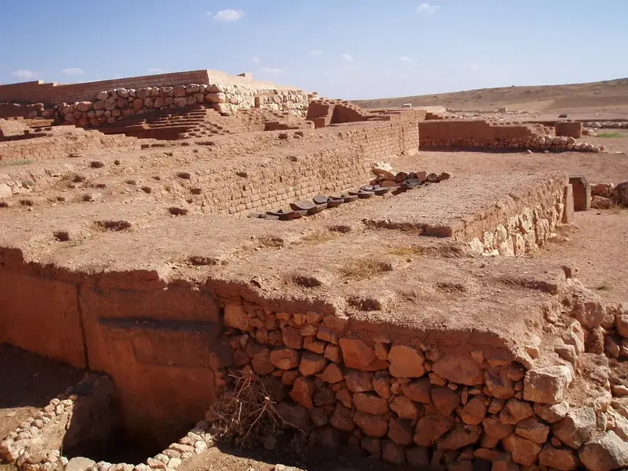
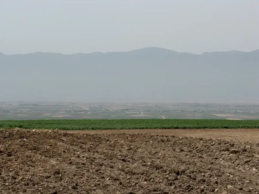
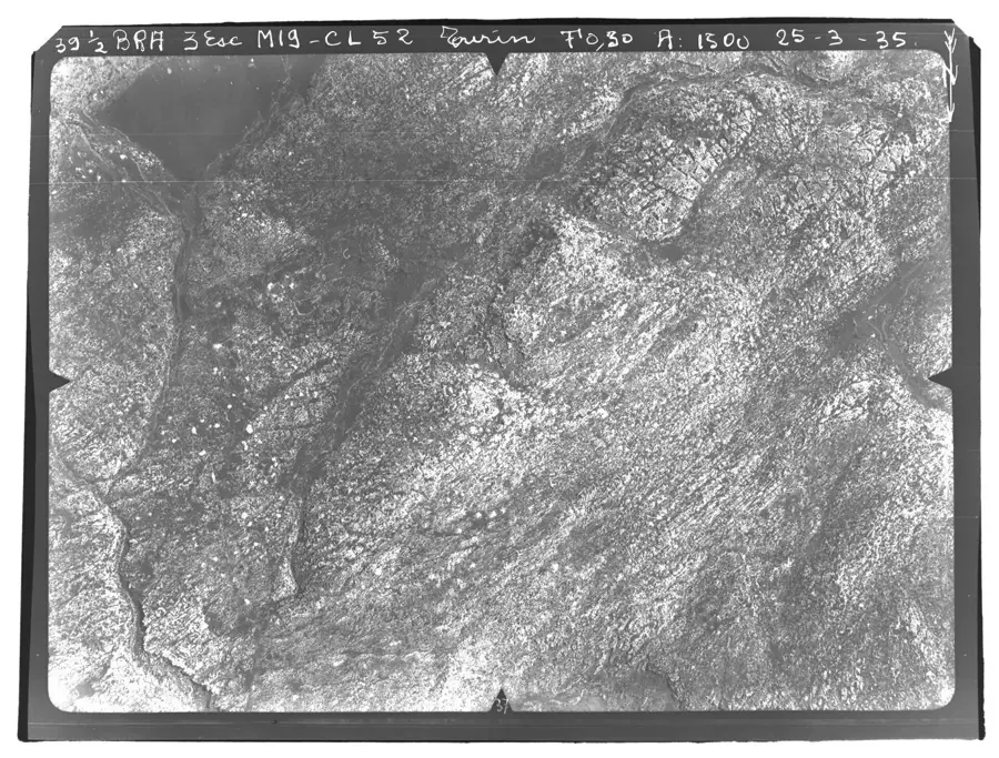
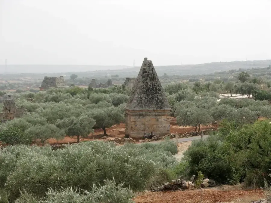
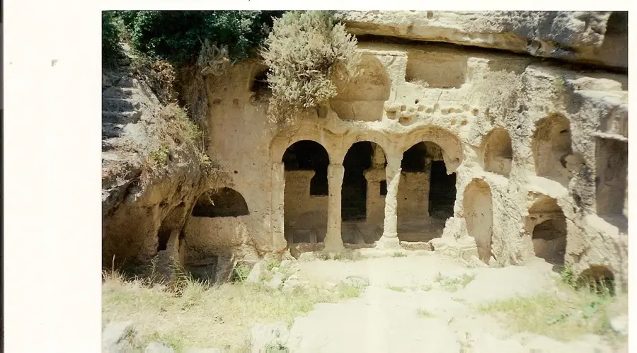
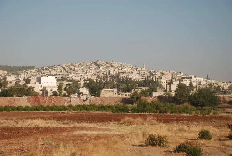
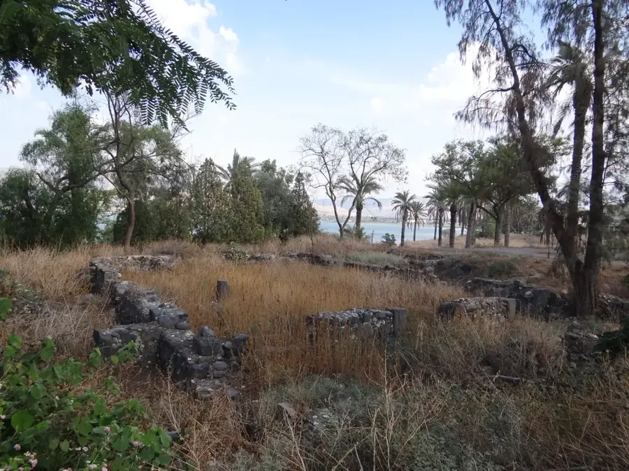
The Rouj Basin, also known as the Rouj Valley, is an endorheic depression located in the Idlib Governorate of northwestern Syria. It lies west of Mount Zawiya and east of the Coastal Mountain Range, running parallel to the larger Al-Ghab Plain. Geologically, it is a tectonic depression that was originally characterized by seasonal marshes and a shallow lake. In the 1950s, the basin was reclaimed through a drainage project involving a tunnel to the Orontes River, which created approximately 15,000 hectares of fertile farmland. Historically, the valley is of great significance due to the presence of numerous tells (settlement mounds) dating back to the Neolithic period, providing evidence of early agricultural development in the Fertile Crescent. Today, the Rouj Valley is an intensive agricultural zone where wheat, cotton, and various vegetables are grown using modern irrigation techniques.
- Location: Syria
- Nearby: Idlib (24 km)
Best time to visit & climate
The most pleasant time to visit is May, Jun, Oct.
| Jan | Feb | Mar | Apr | May | Jun | Jul | Aug | Sep | Oct | Nov | Dec | |
|---|---|---|---|---|---|---|---|---|---|---|---|---|
| Avg °C | 7 | 8 | 12 | 16 | 20 | 25 | 27 | 28 | 25 | 21 | 13 | 8 |
| Rain mm | 121 | 93 | 59 | 41 | 29 | 14 | 4 | 8 | 23 | 42 | 67 | 123 |
📋 Practical info
Geography
Facts
- The Rouj Basin covers an agricultural area of about 150 square kilometers.
- The drainage tunnel to the Orontes River is over 4 kilometers long.
- Tell El-Rouj is one of the most significant Neolithic excavation sites in the region.
- The average annual rainfall in the valley is approximately 500 mm.
- Before reclamation, the area was notorious for malaria outbreaks due to the marshes.
- Geologically, the basin is a component of the North Syrian rift system.
Explore nearby
Notable places around
Route planner — Car & Motorhome
Where do you start? We build the route here, with stops and country notes along the way.
© OpenStreetMap contributors · OpenRouteService
Sights in the town Rouj Basin (1)
Sights nearby
Frequently asked questions
Is the Roudsch Valley suitable for hiking?
When is the best time to visit the valley?
Is there parking available in the Roudsch Valley?
Are there restroom facilities in the valley?
What is the weather risk in the Roudsch Valley?
Rouj Basin: where is it located?
Rouj Basin: when is the best time to visit?
Rouj Basin: why is it worth visiting?

Nearby cities
History & landmarks
Nature
More places