Plizio Visual Lab
Slenfeh Forest

Weather…
Water temperature…
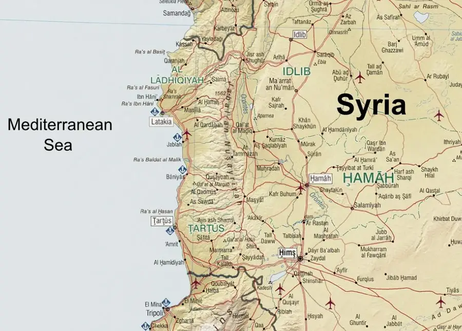
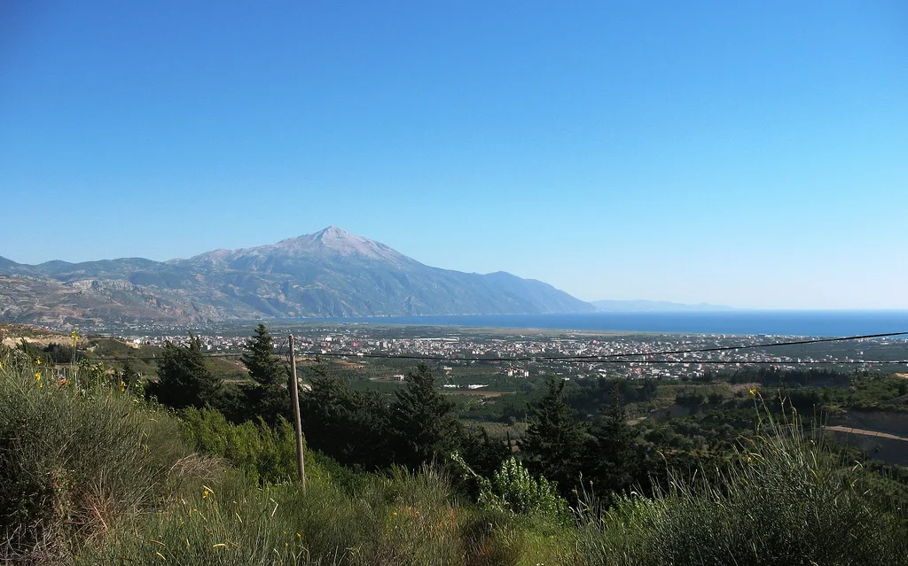
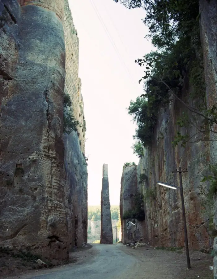
The Slenfeh Forest is located in the Syrian coastal mountain range in the Lattakia Governorate, renowned for its impressive stands of Lebanese cedars and Cilician firs. Situated at an average elevation of about 1,100 meters, the area benefits from a cooler, moisture-rich microclimate compared to the lower coastal plains. These environmental conditions facilitate the growth of montane vegetation that is rare within the Syrian landscape. The forest surrounds the resort town of Slenfeh, which has long been a popular summer destination for locals seeking relief from the heat. In addition to conifers, various maple and oak species thrive here, creating a bustling landscape particularly during the autumn months. Geologically, the region is characterized by limestone plateaus featuring numerous karst phenomena such as caves and sinkholes. Protecting this forested area is vital for the regional water balance, as the trees retain moisture and prevent soil erosion on the steep mountain slopes.
- Location: Syria
- Nearby: Qardaha (18 km)
Best time to visit & climate
The most pleasant time to visit is May, Jun, Oct.
| Jan | Feb | Mar | Apr | May | Jun | Jul | Aug | Sep | Oct | Nov | Dec | |
|---|---|---|---|---|---|---|---|---|---|---|---|---|
| Avg °C | 7 | 9 | 12 | 16 | 20 | 24 | 27 | 27 | 25 | 21 | 14 | 9 |
| Rain mm | 124 | 92 | 56 | 35 | 21 | 9 | 2 | 5 | 17 | 37 | 63 | 116 |
📋 Practical info
Geography
Facts
- Slenfeh is located at an elevation of approximately 1,130 meters in the Nusayriyah Mountains.
- The forest hosts rare populations of the Cilician fir (Abies cilicica).
- During winter, the area is frequently covered by a thick blanket of snow.
- Annual precipitation in Slenfeh is among the highest recorded in Syria.
- The region is known for its rich fungal diversity during the autumn months.
- Geological surveys have identified extensive karst cave systems in the vicinity.
Explore nearby
Notable places around
Route planner — Car & Motorhome
Where do you start? We build the route here, with stops and country notes along the way.
© OpenStreetMap contributors · OpenRouteService
Sights in the town Slenfeh Forest (1)
Sights nearby
Frequently asked questions
What is the climate in the Slenfeh forest?
Is the area suitable for families?
Are there hiking routes?
When is the forest the greenest?
Are there restaurants on site?
Slenfeh Forest: where is it located?
Slenfeh Forest: when is the best time to visit?
Slenfeh Forest: why is it worth visiting?

Nearby cities


Nature

More places