Plizio Visual Lab
Jabal Zawiya

Weather…
Water temperature…
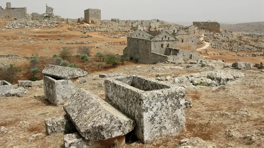
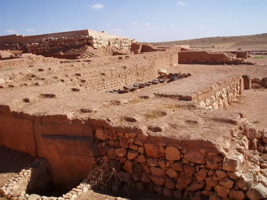
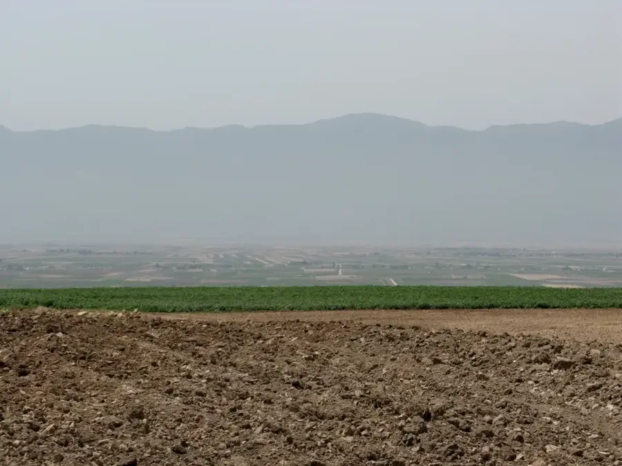
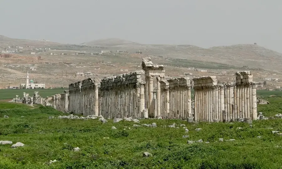
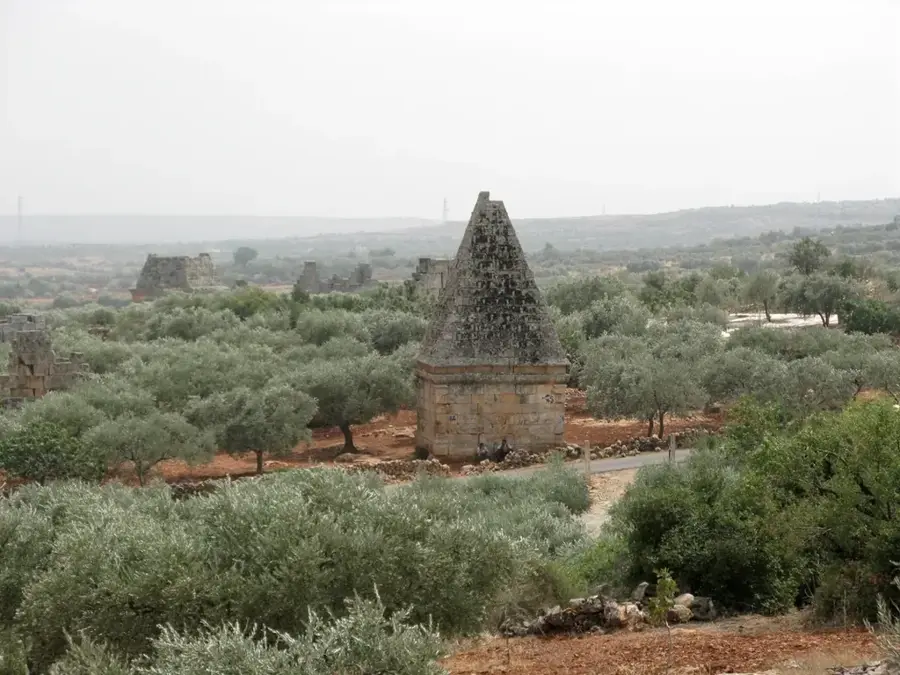
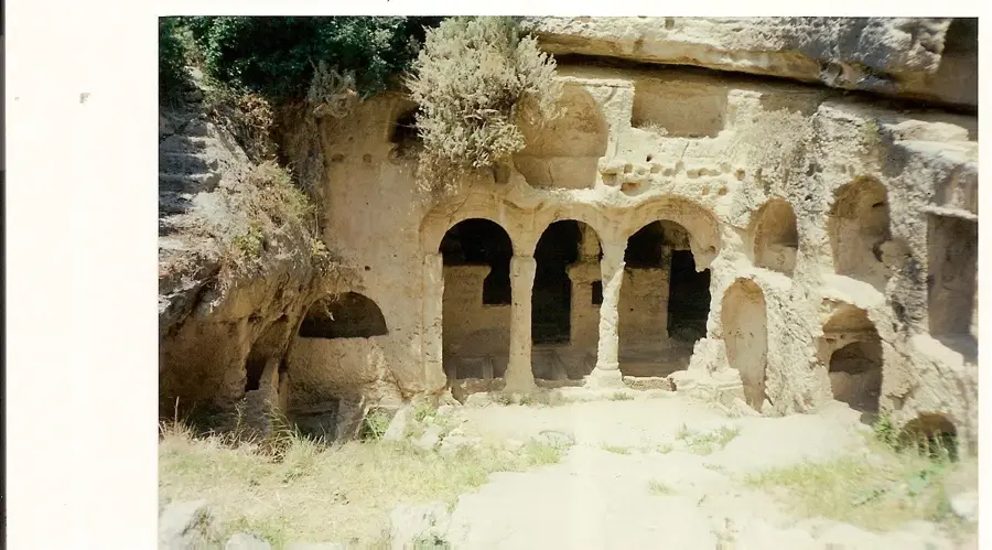
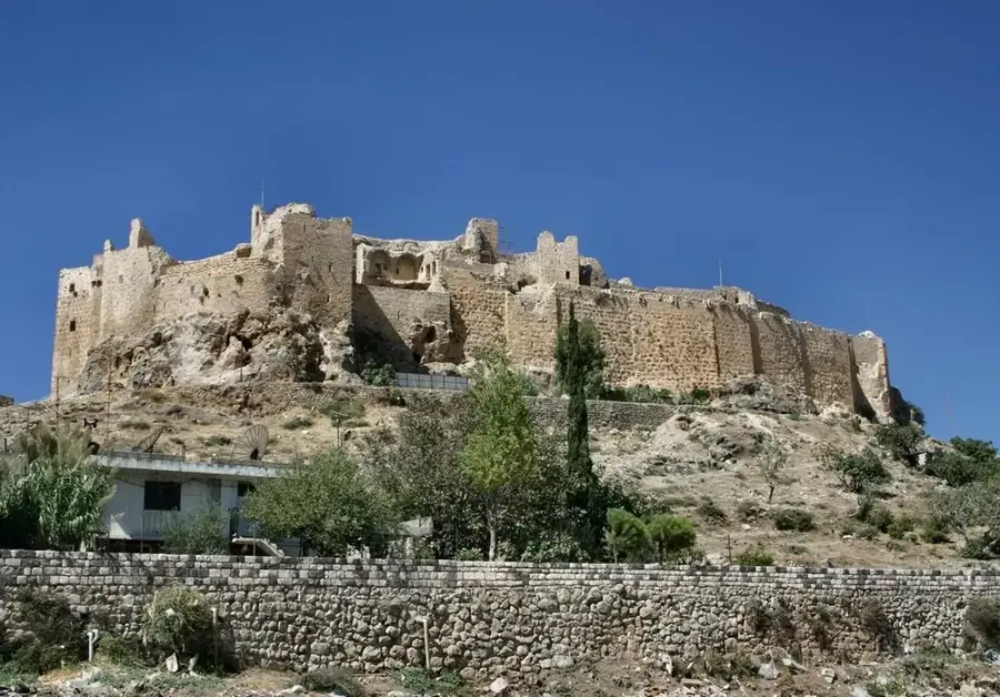
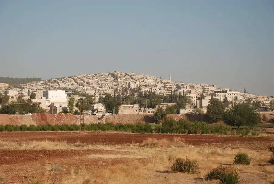
Jabal Zawiya is a prominent limestone highland in the Idlib Governorate of northwestern Syria, forming part of the larger Limestone Massif. The region is globally renowned for its exceptional density of archaeological sites, including the famous 'Dead Cities' that are designated as UNESCO World Heritage sites. These abandoned Byzantine settlements bear witness to a flourishing agrarian society between the 1st and 7th centuries AD, which grew wealthy through the trade of olive oil and wine. Geographically, the area is characterized by rolling hills, karst features, and fertile red Terra Rossa soils, which continue to be used for intensive olive cultivation today. The climate is Mediterranean-influenced, making the region one of the greenest and most productive agricultural zones in the country. Historically, Jabal Zawiya has often been the site of strategic conflicts, as it commands the vital routes connecting Aleppo, Hama, and Latakia. The local inhabitants have maintained a deep connection to their land over centuries, employing traditional stonemasonry and farming techniques that are deeply rooted in their cultural identity.
- Location: Syria
- Top sights: Arihah - Cherry Roundabout · Park aldura · Zawiya Mountain
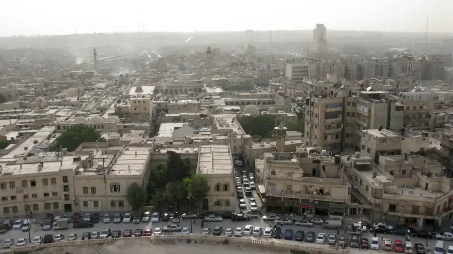
- Nearby: Idlib (18 km)
Best time to visit & climate
The most pleasant time to visit is May, Jun, Oct.
| Jan | Feb | Mar | Apr | May | Jun | Jul | Aug | Sep | Oct | Nov | Dec | |
|---|---|---|---|---|---|---|---|---|---|---|---|---|
| Avg °C | 7 | 9 | 12 | 16 | 20 | 24 | 27 | 27 | 25 | 21 | 14 | 9 |
| Rain mm | 124 | 92 | 56 | 35 | 21 | 9 | 2 | 5 | 17 | 37 | 63 | 116 |
📋 Practical info
Geography
Facts
- Jabal Zawiya contains more than 40 of the historically significant 'Dead Cities'.
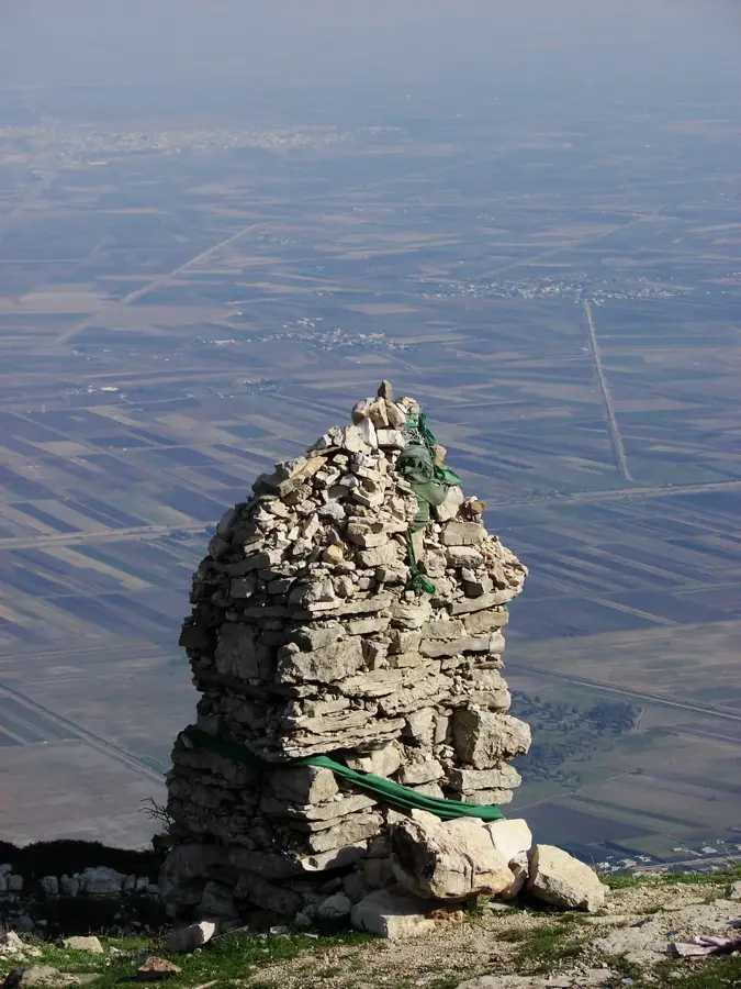
- The highest point in the region reaches an elevation of approximately 930 meters.
- Bara and Serjilla are among the most famous ancient ruins in the area.
- The region is one of Syria's primary producers of high-quality olives.
- The highlands were a major center for early Syrian Christianity and monasticism.
- The area features numerous ancient rock-cut cisterns for water storage.
Explore nearby
Notable places around
Route planner — Car & Motorhome
Where do you start? We build the route here, with stops and country notes along the way.
© OpenStreetMap contributors · OpenRouteService
Sights in the town Jabal Zawiya (5)
Sights nearby
Frequently asked questions
How difficult is hiking in Dschebel Sawiye?
Is parking available on site?
Which season is best?
Are there dangerous weather conditions?
Are there restaurants on the mountain?
Jabal Zawiya: where is it located?
Jabal Zawiya: what is there to see?
Jabal Zawiya: when is the best time to visit?
Jabal Zawiya: why is it worth visiting?

Nearby cities

History & landmarks
Nature
More places