Plizio Visual Lab
Orontes

Weather…
Water temperature…
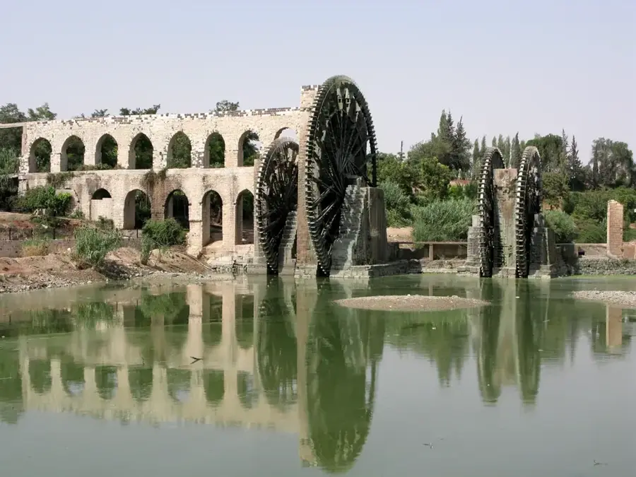
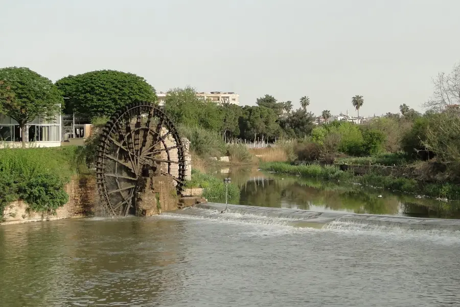
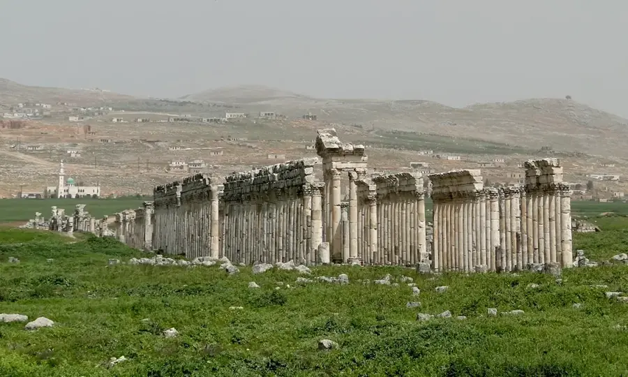
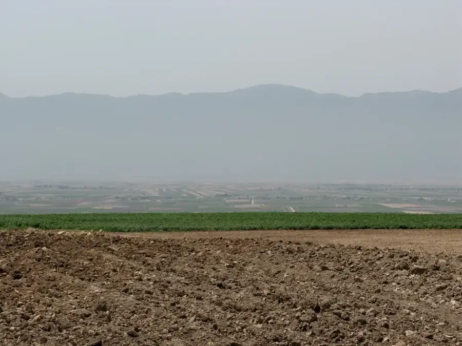
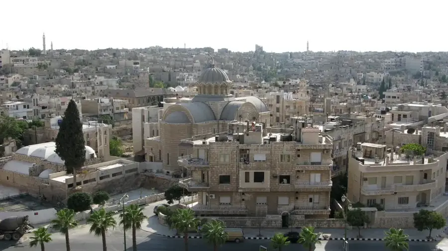
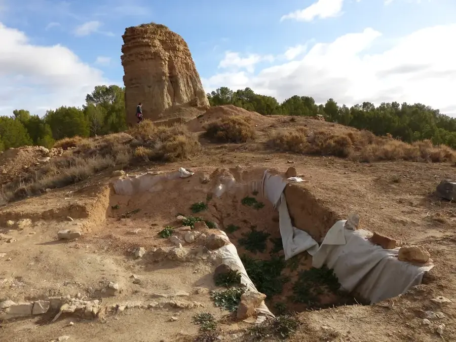
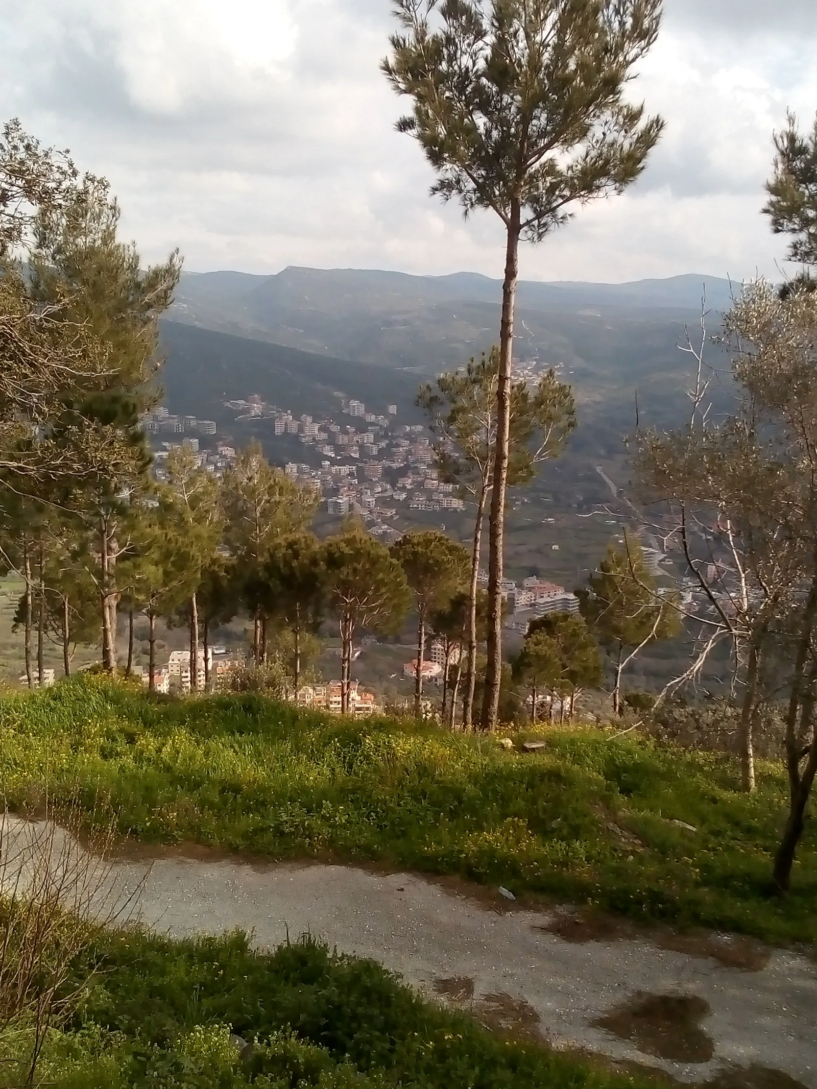
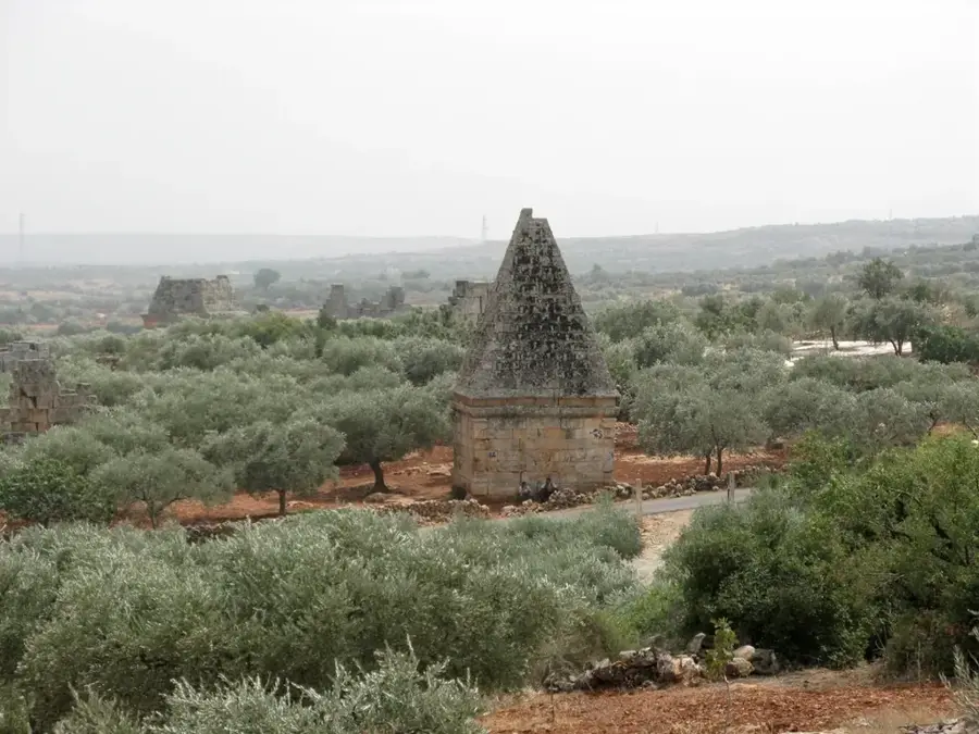
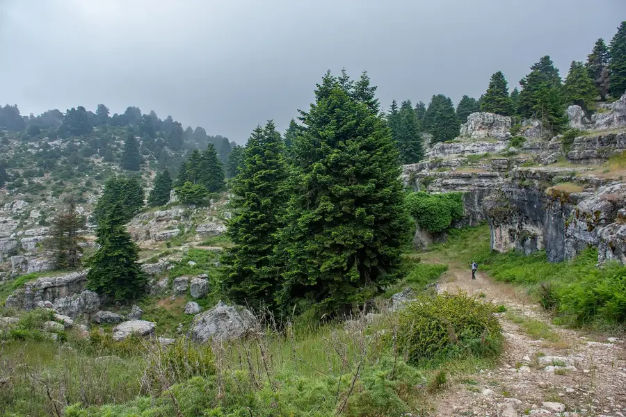
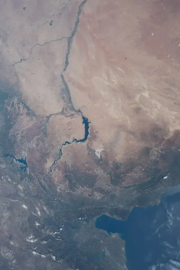
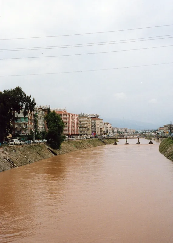
The Orontes, known in Arabic as Nahr al-Asi, is a unique river in the Levant that flows from south to north, contrary to the usual direction of regional waterways. It originates in the Lebanon Mountains, traverses the fertile Bekaa Valley, and then flows through the Syrian cities of Homs and Hama before emptying into the Mediterranean Sea in Turkey. In Syria, the Orontes has carved deep valleys and vast alluvial plains over millennia, which are among the country's most productive agricultural regions. World-famous are the monumental wooden water wheels, the Norias of Hama, which were historically used to lift river water to higher-elevation fields. Geographically, the river forms a vital axis for western Syria, supplying water to major urban centers and industrial plants. Historically, the Orontes Valley was the site of significant ancient battles, such as the Battle of Kadesh. Ecologically, the river provides a habitat for various fish species and waterfowl, though environmental issues currently challenge water quality. The Orontes remains an indispensable symbol of the connection between nature and hydraulic engineering in Syrian culture.
- Location: Syria
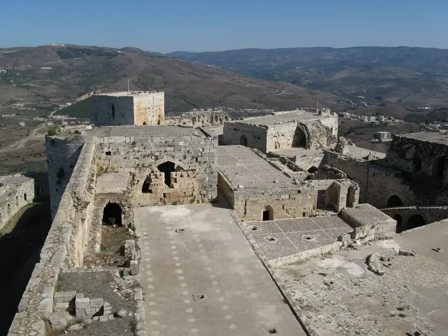
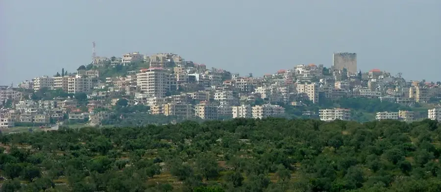
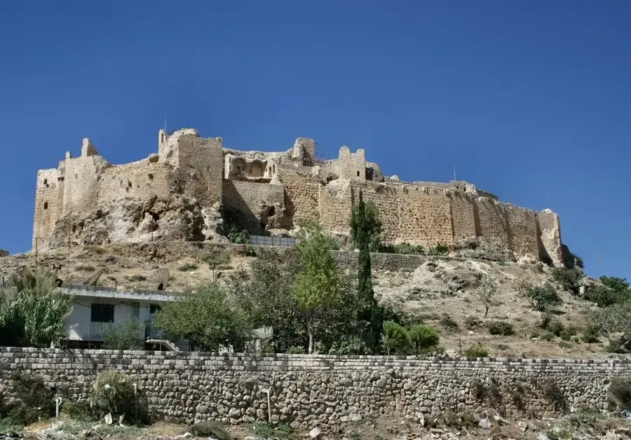
- Top sights: maoured mahieha Hama · Hama Castle · Great Mosque
- Nearby: Homs (36 km)
Best time to visit & climate
The most pleasant time to visit is May, Jun, Oct.
| Jan | Feb | Mar | Apr | May | Jun | Jul | Aug | Sep | Oct | Nov | Dec | |
|---|---|---|---|---|---|---|---|---|---|---|---|---|
| Avg °C | 8 | 9 | 13 | 16 | 21 | 26 | 28 | 28 | 26 | 21 | 14 | 9 |
| Rain mm | 72 | 54 | 37 | 20 | 12 | 3 | 1 | 2 | 9 | 20 | 38 | 60 |
📋 Practical info
Geography
Facts
- Length: Approximately 571 kilometers
- Uniqueness: Flows from south to north (hence the name 'Asi' – the rebellious)
- Mouth: Mediterranean Sea (near Antakya, Turkey)
- Culture: Famous for the ancient Norias (water wheels) in Hama
- Agriculture: Major irrigation source for central Syrian farmlands
- History: Site of the historic Battle of Kadesh (1274 BC)
Explore nearby
Notable places around
Route planner — Car & Motorhome
Where do you start? We build the route here, with stops and country notes along the way.
© OpenStreetMap contributors · OpenRouteService
Sights in the town Orontes (6)
Sights nearby
Frequently asked questions
What characterizes the Orontes?
Can you hike by the Orontes?
What is the famous landmark by the river?
Is the water usable for agriculture?
Is there fish in the Orontes?
Orontes: where is it located?
Orontes: what is there to see?
Orontes: when is the best time to visit?
Orontes: why is it worth visiting?

Nearby cities
History & landmarks
Nature
More places