Plizio Visual Lab
Al-Ghab Plain
Weather…
Water temperature…
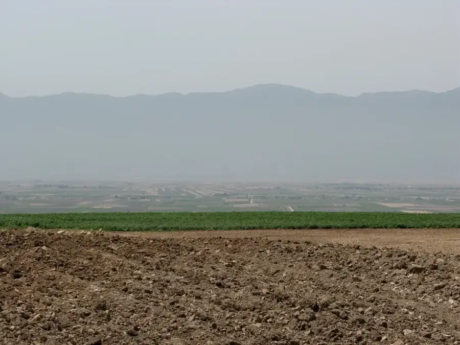
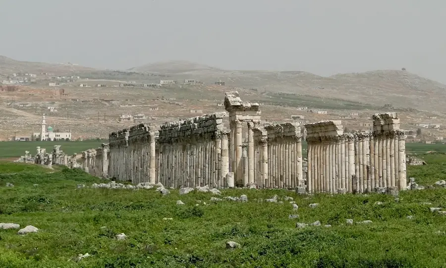
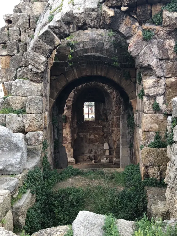
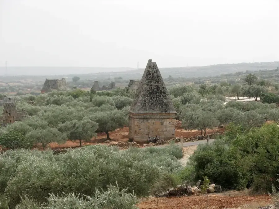
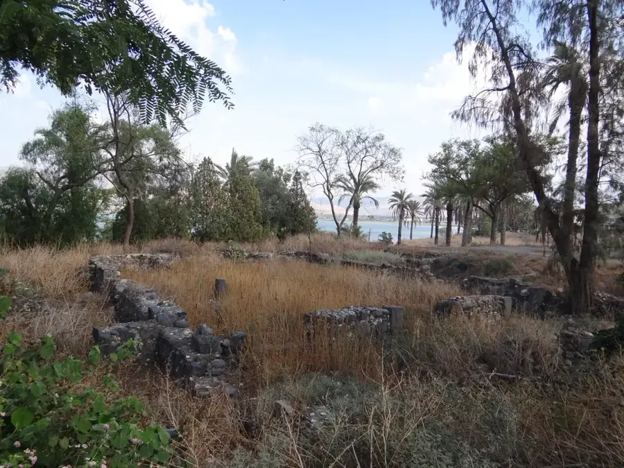
The Al-Ghab Plain is a fertile depression in northwestern Syria, stretching approximately 63 kilometers in length and 12 kilometers in width between the Coastal Mountain Range to the west and Mount Zawiya to the east. Geologically, it is a tectonic graben through which the Orontes River flows. Originally a vast marshland, the area was reclaimed in the 1950s through a major drainage project designed to expand Syria's agricultural capacity. Today, the plain is a primary agricultural hub, producing significant yields of cotton, wheat, and sugar beets. Historically, the region's strategic location and water availability made it a site of settlement since antiquity, with the nearby ruins of Apamea serving as a testament to its past importance. Modern issues involve groundwater depletion and the maintenance of the complex irrigation networks established during the mid-20th century.
- Location: Syria
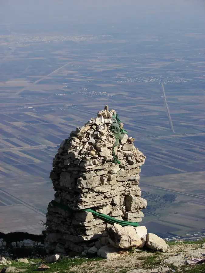
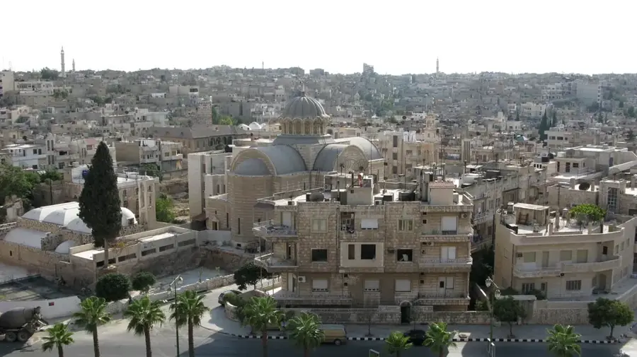
- Top sights: Al-Hurriyah, Syria · Al-Huwayz · Al-Rasif
- Nearby: Qardaha (31 km)
Best time to visit & climate
The most pleasant time to visit is May, Jun, Oct.
| Jan | Feb | Mar | Apr | May | Jun | Jul | Aug | Sep | Oct | Nov | Dec | |
|---|---|---|---|---|---|---|---|---|---|---|---|---|
| Avg °C | 7 | 9 | 12 | 16 | 20 | 24 | 27 | 27 | 25 | 21 | 14 | 9 |
| Rain mm | 124 | 92 | 56 | 35 | 21 | 9 | 2 | 5 | 17 | 37 | 63 | 116 |
📋 Practical info
Geography
Facts
- The plain lies at an average elevation of 170 to 220 meters above sea level.
- The 1950s drainage project reclaimed roughly 80,000 hectares of arable land.
- The Orontes River serves as the primary drainage and irrigation source for the plain.
- The ancient city of Apamea was established on the plain's edge in 300 BC.
- Annual precipitation in the region ranges from 600 to 800 mm.
- The plain is bordered by two parallel mountain ranges, creating a distinct microclimate.
Explore nearby
Notable places around
Route planner — Car & Motorhome
Where do you start? We build the route here, with stops and country notes along the way.
© OpenStreetMap contributors · OpenRouteService
Sights in the town Al-Ghab Plain (3)
Sights nearby
Frequently asked questions
What is the Al-Ghab plain?
Can you visit the plain?
When is it at its best?
Are there tourist centers there?
Is it family-friendly?
Al-Ghab Plain: where is it located?
Al-Ghab Plain: what is there to see?
Al-Ghab Plain: when is the best time to visit?
Al-Ghab Plain: why is it worth visiting?

Nearby cities

History & landmarks
Nature

More places