Plizio Visual Lab
Jabal al-Bilas

Weather…
Water temperature…
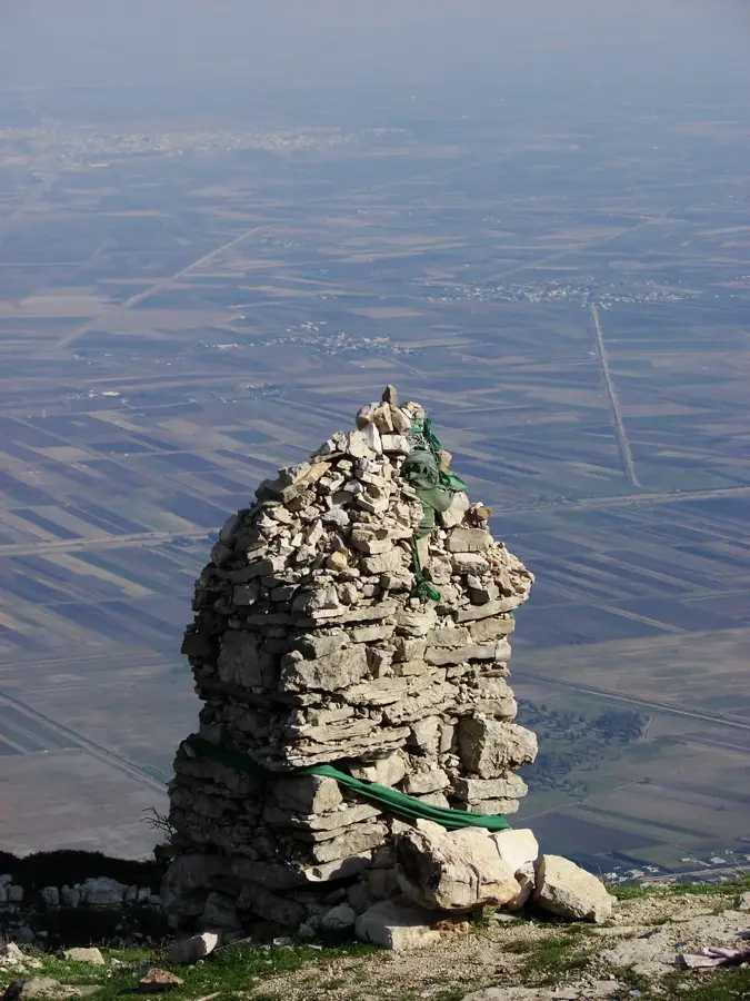
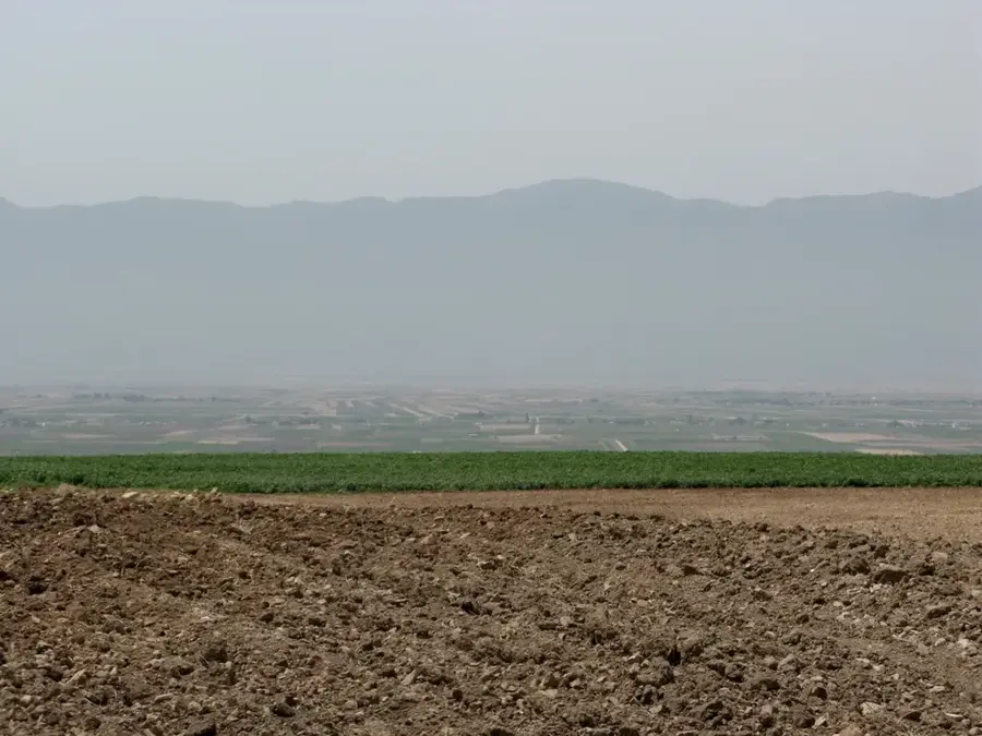
Jabal al-Bilas is a mountain massif in central Syria, located west of Palmyra and east of the city of Hama. Part of the Palmyrene mountain chains, it marks the transition between the central Syrian steppe and the desert. Geologically, the massif is characterized by a limestone anticline folded during the Alpine orogeny. The region is historically significant for its archaeological sites, including Byzantine settlement remains and ancient stone quarries. The mountains reach elevations of up to 1,100 meters. During the Roman era, the area served as an important outpost for monitoring nomadic tribes and trade routes. Ecologically, Jabal al-Bilas is notable for its remaining stands of wild pistachio (Pistacia atlantica), which represent remnants of Syria's former forest-steppe vegetation. Currently, the region is primarily used for seasonal grazing, though it faces severe threats from overgrazing and prolonged drought conditions.
- Location: Syria
- Nearby: Hama (85 km)
Best time to visit & climate
The most pleasant time to visit is May, Jun, Oct.
| Jan | Feb | Mar | Apr | May | Jun | Jul | Aug | Sep | Oct | Nov | Dec | |
|---|---|---|---|---|---|---|---|---|---|---|---|---|
| Avg °C | 6 | 7 | 11 | 15 | 20 | 24 | 27 | 27 | 24 | 20 | 12 | 7 |
| Rain mm | 65 | 48 | 34 | 19 | 12 | 3 | 1 | 2 | 7 | 18 | 34 | 54 |
📋 Practical info
Geography
Facts
- The highest peak of Jabal al-Bilas reaches approximately 1,100 meters.
- The region hosts a state-protected wild pistachio reserve.
- Geologically, the range consists of Eocene and Cretaceous limestone.
- Archaeologists have found inscriptions indicating the presence of Roman military outposts.
- Average annual precipitation in the area is less than 200 mm.
- The mountains were an important source of building stone in antiquity.
Explore nearby
Notable places around
Route planner — Car & Motorhome
Where do you start? We build the route here, with stops and country notes along the way.
© OpenStreetMap contributors · OpenRouteService
Sights nearby
Frequently asked questions
What is the mountain like?
Are there paths for tourists?
Is it safe?
When is it cooler?
Do you need a guide?
Jabal al-Bilas: where is it located?
Jabal al-Bilas: when is the best time to visit?
Jabal al-Bilas: why is it worth visiting?

Nearby cities
History & landmarks
Nature

More places