Plizio Visual Lab
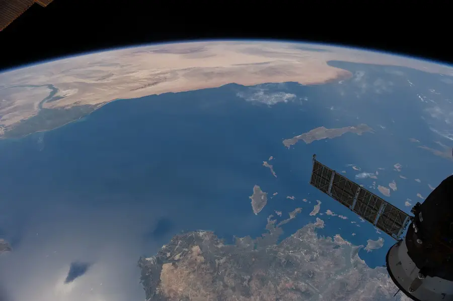
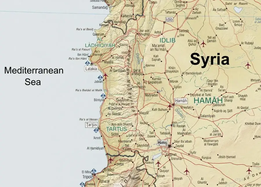
Syrian Coastal Mountain Range
Weather…
Water temperature…
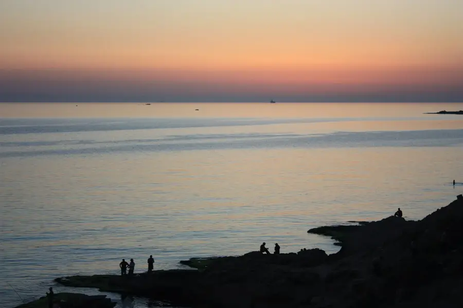
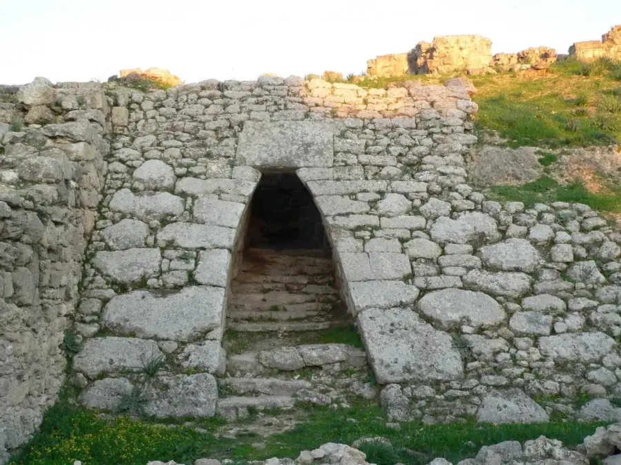
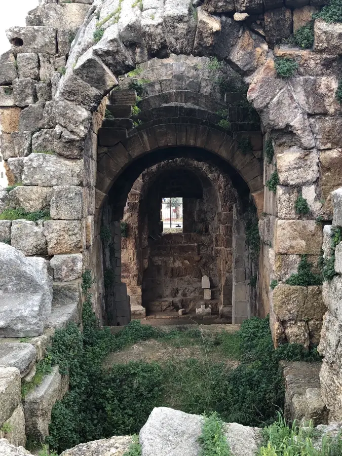
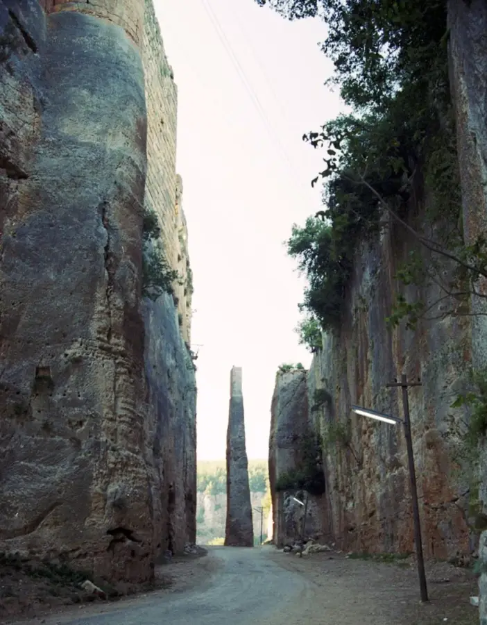
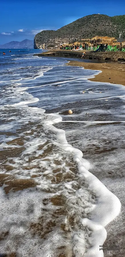
The Syrian Coastal Mountain Range, also known as Jebel An-Nusayriyah, stretches parallel to the Mediterranean coast, separating the narrow coastal plain from the northern Syrian interior. The range has an average width of 30 kilometers and reaches its maximum elevation at Nabi Yunis, which stands at 1,562 meters. Due to its geographical position, the mountains intercept moist winds from the Mediterranean, resulting in the highest precipitation rates in Syria and sustaining lush forests of pine, oak, and cedar. Historically, the range served as a rugged sanctuary for various religious minorities, particularly the Alawites, which has shaped the social fabric of the region to this day. The slopes are heavily terraced and intensively cultivated with tobacco, olives, and citrus fruits. During the Middle Ages, the range was of such strategic importance that Crusaders and Muslim forces alike erected massive fortifications on its peaks, including the famous Margat Castle (Qala'at al-Marqab). The blend of Mediterranean flora, historical architecture, and dramatic views of the sea makes this region a unique geographical and cultural gem in the Middle East.
- Location: Syria
- Nearby: Qardaha (22 km)
Best time to visit & climate
The most pleasant time to visit is May, Jun, Oct.
| Jan | Feb | Mar | Apr | May | Jun | Jul | Aug | Sep | Oct | Nov | Dec | |
|---|---|---|---|---|---|---|---|---|---|---|---|---|
| Avg °C | 7 | 9 | 12 | 16 | 20 | 24 | 27 | 27 | 25 | 21 | 14 | 9 |
| Rain mm | 124 | 92 | 56 | 35 | 21 | 9 | 2 | 5 | 17 | 37 | 63 | 116 |
📋 Practical info
Geography
Facts
- The highest peak in the range is Nabi Yunis at 1,562 meters above sea level.
- The region receives up to 1,000 mm of annual rainfall, the most in Syria.
- The mountain range extends approximately 140 kilometers from north to south.
- Margat Castle, a former Hospitaller stronghold, is located on a prominent ridge.
- To the east, the range drops steeply into the Ghab Depression of the Orontes River.
- The mountain climate is ideal for tobacco cultivation, a major local industry.
Explore nearby
Notable places around
Route planner — Car & Motorhome
Where do you start? We build the route here, with stops and country notes along the way.
© OpenStreetMap contributors · OpenRouteService
Sights nearby
Frequently asked questions
What is special about the Ansarija mountains?
Is the region family-friendly?
Can one camp there?
What are the highlights?
Is it hot in summer?
Syrian Coastal Mountain Range: where is it located?
Syrian Coastal Mountain Range: when is the best time to visit?
Syrian Coastal Mountain Range: why is it worth visiting?

Nearby cities

Nature
More places