Plizio Visual Lab
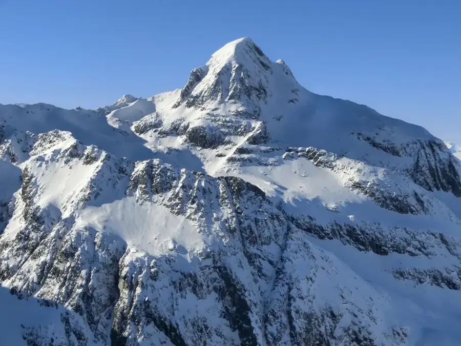
Piz Platta
Weather…
Water temperature…
Piz Platta is the highest peak in the Oberhalbstein Alps, standing at 3392 meters above sea level in the Swiss canton of Graubünden. It is situated between the Surses (Oberhalbstein) valley to the east and the Avers valley to the west, forming the centerpiece of the Platta Group. Geologically, the mountain is composed of schist and gneiss, which gives it a distinctive dark, rugged appearance and steep, craggy faces. The first recorded ascent was achieved on November 7, 1866, by Stefanus Steiner and his companions, who approached the summit from the Avers side. From the top, climbers are rewarded with an extensive panoramic view that stretches from the Valais Alps in the west to the Bernina Range in the southeast. Today, Piz Platta is a sought-after objective for mountaineers, offering challenging routes that require technical proficiency in both rock climbing and navigating steep firn fields.
- Location: Switzerland
- Top sights: Piz Platta · Mazzaspitz · Jupperhorn
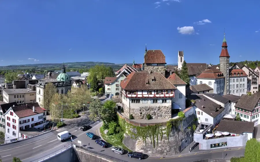
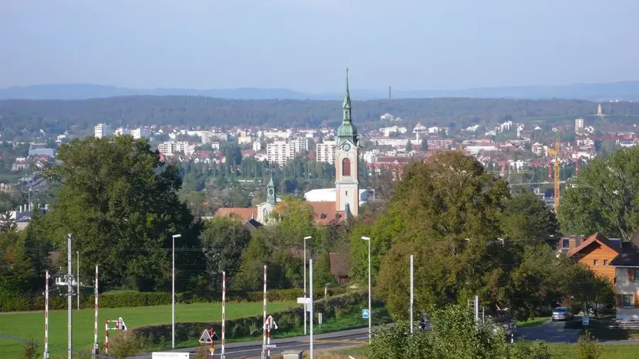
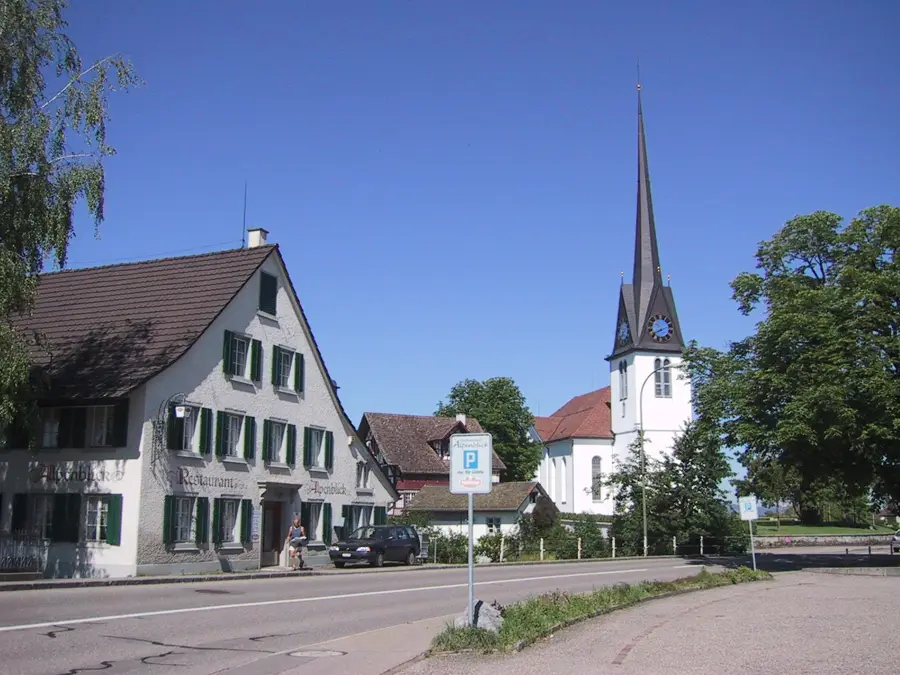
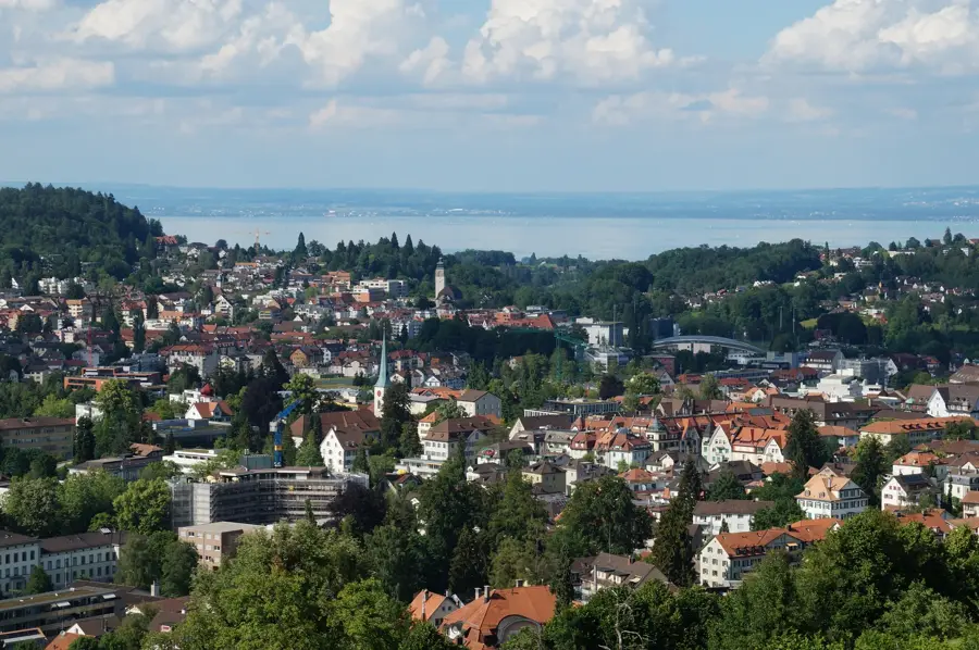
- Nearby: Savognin (12 km)
Best time to visit & climate
The most pleasant time to visit is Jun–Aug.
| Jan | Feb | Mar | Apr | May | Jun | Jul | Aug | Sep | Oct | Nov | Dec | |
|---|---|---|---|---|---|---|---|---|---|---|---|---|
| Avg °C | -10 | -9 | -5 | 0 | 5 | 10 | 11 | 11 | 7 | 3 | -3 | -8 |
| Rain mm | 64 | 55 | 73 | 98 | 142 | 148 | 143 | 166 | 110 | 114 | 122 | 77 |
📋 Practical info
Geography
Facts
- Elevation: 3392 meters (11,129 feet) above sea level.
- Location: Canton of Graubünden, Switzerland.
- Mountain Range: Oberhalbstein Alps (Platta Group).
- First Ascent: November 7, 1866, by Stefanus Steiner.
- Prominence: 1108 meters above the Juferjoch pass.
- Geology: Primarily composed of crystalline schists and gneiss.
Explore nearby
Notable places around
Route planner — Car & Motorhome
Where do you start? We build the route here, with stops and country notes along the way.
© OpenStreetMap contributors · OpenRouteService
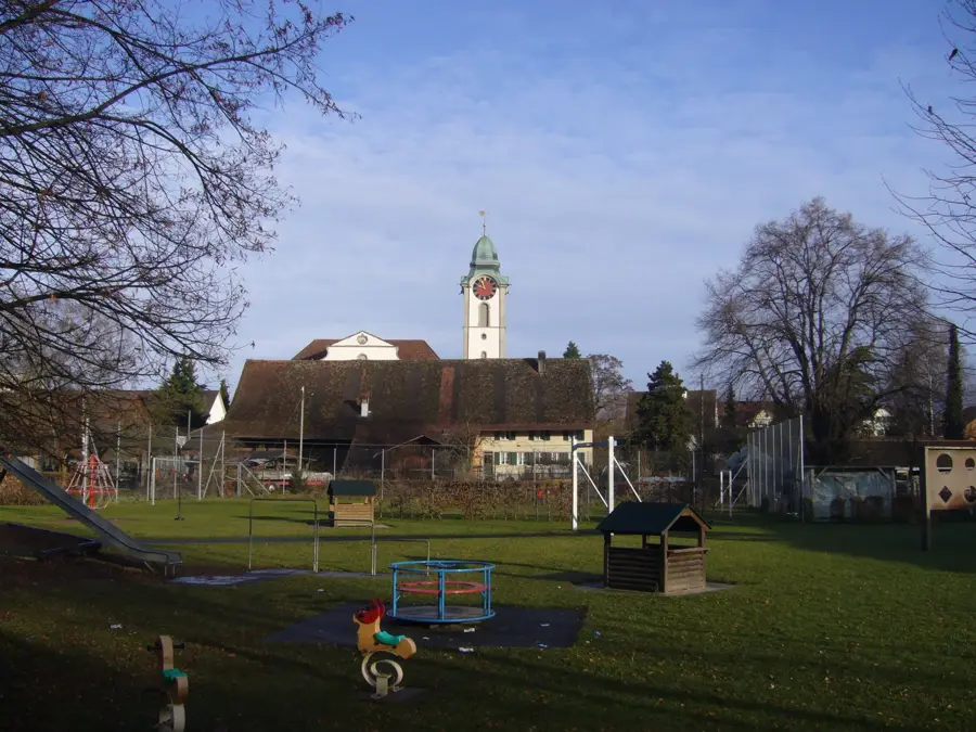
Sights in the town Piz Platta (3)
Sights nearby
Frequently asked questions
What is the significance of Piz Platta?
Where does the ascent start?
How difficult is the mountain tour?
Are there glaciers on Piz Platta?
When is the best season?
Piz Platta: where is it located?
Piz Platta: what is there to see?
Piz Platta: when is the best time to visit?
Piz Platta: why is it worth visiting?

Nearby cities