Plizio Visual Lab
Piz d'Err

Weather…
Water temperature…
Piz d'Err is a prominent mountain in the Albula Alps of the canton of Graubünden, reaching an elevation of 3,378 meters. It is the highest peak in the Err group, which lies between the Oberhalbstein and the Albula Valley. Geologically, the mountain is defined by crystalline rock, giving it a rugged and imposing structure. The first recorded ascent was achieved in 1864 by the famous surveyor Johann Coaz and his companions. Compared to its neighbors like Piz Kesch, Piz d'Err is less crowded but features equally spectacular views of the Engadine and the Bernina Range. The ascent typically starts from the Chamanna d'Err or the Es-cha Hut and requires mountaineering experience and sure-footedness in rocky terrain. Several small glaciers are located in its vicinity, though they have significantly retreated due to climate change. The mountain remains a quiet find for climbers seeking solitude and technical challenges in the alpine wilderness of Graubünden.
- Location: Switzerland
- Top sights: Piz Calderas · Piz D'Err · Piz Bleis Marscha
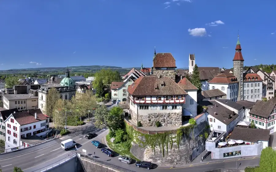
- Nearby: Savognin (8 km)
Best time to visit & climate
The most pleasant time to visit is Jun–Aug.
| Jan | Feb | Mar | Apr | May | Jun | Jul | Aug | Sep | Oct | Nov | Dec | |
|---|---|---|---|---|---|---|---|---|---|---|---|---|
| Avg °C | -10 | -9 | -5 | 0 | 5 | 10 | 11 | 11 | 7 | 3 | -3 | -8 |
| Rain mm | 64 | 55 | 73 | 98 | 142 | 148 | 143 | 166 | 110 | 114 | 122 | 77 |
📋 Practical info
Geography
Facts
- The official elevation of Piz d'Err is 3,378 meters.
- Johann Coaz completed the first recorded ascent in 1864.
- The mountain is the namesake of the Err Group in the Albula Alps.
- It is located between the municipalities of Savognin and Bever.
- The northeastern flank contains remnants of the Err Glacier.
- It is considered one of the most significant peaks in central Graubünden.
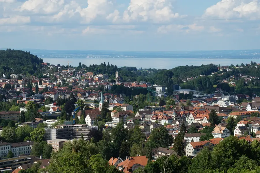
Explore nearby
Notable places around
Route planner — Car & Motorhome
Where do you start? We build the route here, with stops and country notes along the way.
© OpenStreetMap contributors · OpenRouteService
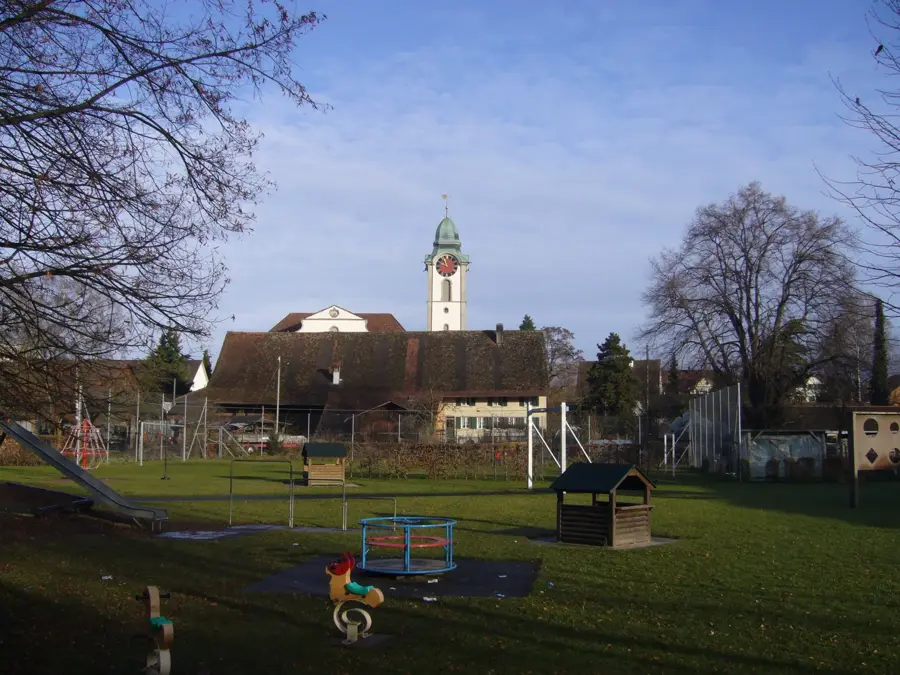
Sights in the town Piz d'Err (3)
Sights nearby
Frequently asked questions
How high is Piz d'Err?
Where does the climb start?
Is Piz d'Err suitable for beginners?
When is the best time for a tour?
Are there guided tours?
Piz d'Err: where is it located?
Piz d'Err: what is there to see?
Piz d'Err: when is the best time to visit?
Piz d'Err: why is it worth visiting?

Nearby cities