Plizio Visual Lab
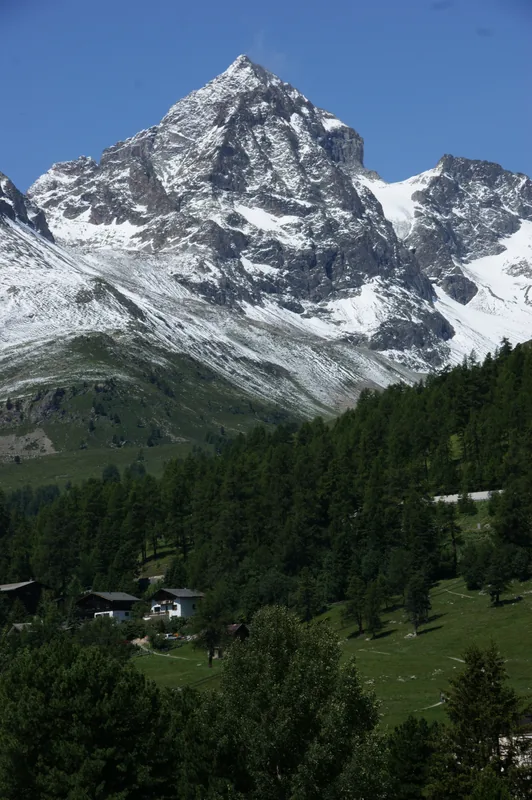
Piz Julier
Weather…
Water temperature…
Piz Julier is a prominent mountain peak in the Albula Alps of the canton of Graubünden, reaching an elevation of 3,380 meters. Situated directly above the Julier Pass, it dominates the landscape of the Upper Engadine and the world-famous resort of St. Moritz. Geologically, the mountain is composed of granite, giving it a rugged and rocky appearance. The first recorded ascent was achieved in 1859 by Johann Coaz, a pioneer of mountaineering in the Graubünden region. The mountain is a popular destination for hikers and climbers, as a well-marked but challenging trail leads from the Julier Pass to the summit. From the top, climbers are rewarded with an impressive panoramic view of the Bernina Range and the surrounding lakes, such as Lake Silvaplana. Despite its altitude, the summit is often snow-free in summer, making it well-suited for alpine day trips. Its strategic location near the pass made it an early landmark in regional geography.
- Location: Switzerland
- Top sights: Chüern Nair · Piz Valletta · Muot Cotschen
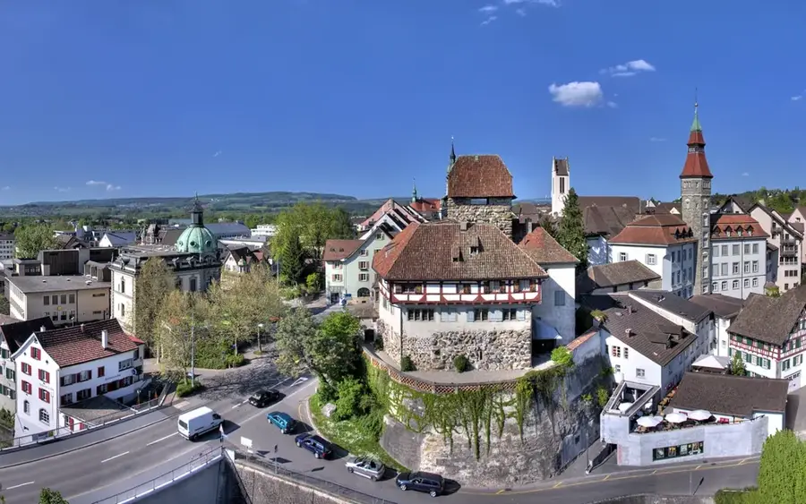
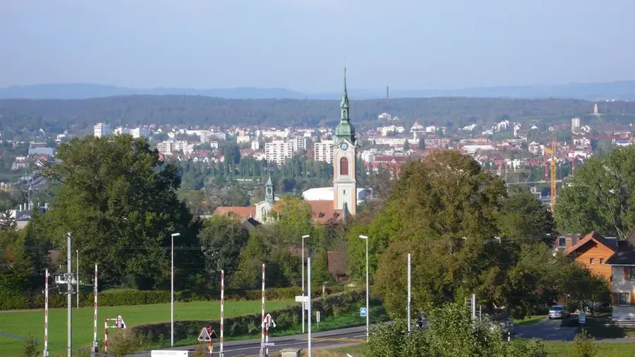
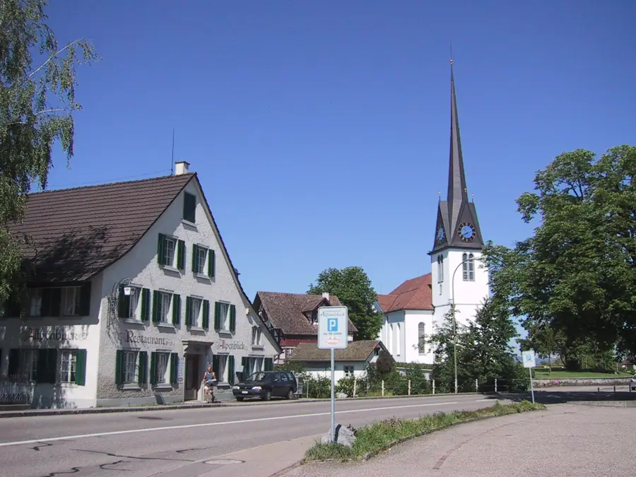
- Nearby: Sils (6 km)
Best time to visit & climate
The most pleasant time to visit is Jun–Aug.
| Jan | Feb | Mar | Apr | May | Jun | Jul | Aug | Sep | Oct | Nov | Dec | |
|---|---|---|---|---|---|---|---|---|---|---|---|---|
| Avg °C | -10 | -9 | -5 | 0 | 5 | 10 | 11 | 11 | 7 | 3 | -3 | -8 |
| Rain mm | 64 | 55 | 73 | 98 | 142 | 148 | 143 | 166 | 110 | 114 | 122 | 77 |
📋 Practical info
Geography
Facts
- The summit reaches an altitude of 3,380 meters above sea level.
- The first recorded ascent was made in 1859 by Johann Coaz.
- The mountain is primarily composed of Julier granite.
- The standard route begins at the Julier Pass, located at 2,284 meters.
- It offers a 360-degree panoramic view of the Engadine valley.
- The peak remains a popular summer hiking destination for experienced trekkers.
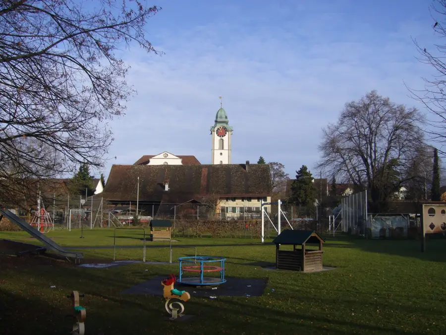
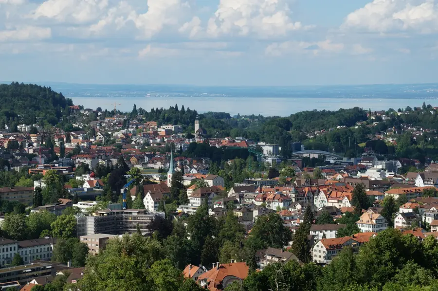
Explore nearby
Notable places around
Route planner — Car & Motorhome
Where do you start? We build the route here, with stops and country notes along the way.
© OpenStreetMap contributors · OpenRouteService
Sights in the town Piz Julier (3)
Muot Cotschen
Muot Cotschen is a mountain peak in Switzerland.
Sights nearby
Frequently asked questions
Where is Piz Julier located?
How high is the mountain?
Is it feasible for experienced hikers?
What is the view from the summit?
Are there climbing sections?
Piz Julier: where is it located?
Piz Julier: what is there to see?
Piz Julier: when is the best time to visit?
Piz Julier: why is it worth visiting?

Nearby cities