Plizio Visual Lab
Mont-Soleil
ℹ️Practical info — Mont-Soleil
▾
🌤 Weather — 5 days
📍 Nearby
Sights nearby
💡 Tips
- The funicular from Saint-Imier is the most scenic and practical way to reach Mont-Soleil.
- Check the schedule for the observatory and solar power plant guided tours in advance.
- Bring windproof clothing, as the area is exposed and often windy (hence the wind turbines).
- Rent an e-bike or a scooter at the funicular station to explore the plateau.
- Visit during winter for excellent cross-country skiing tracks or snowshoeing.
🍽 Food
Enjoy this regional cheese, typically scraped into rosettes, at a traditional Jura farmhouse.
Hearty potato röstis served with locally sourced sausages at a mountain inn.
Try this local specialty digestif after a meal in a local restaurant.
🛍 Shopping · 🧘 Quiet spots
Buy direct from a local 'métairie' (farmhouse) on the plateau.
Pick up watch-related items in nearby Saint-Imier, a historic watchmaking hub.
A peaceful walking trail connecting the solar and wind power plants.
Explore the wider park area for remote hiking trails and pristine nature.
Water temperature…
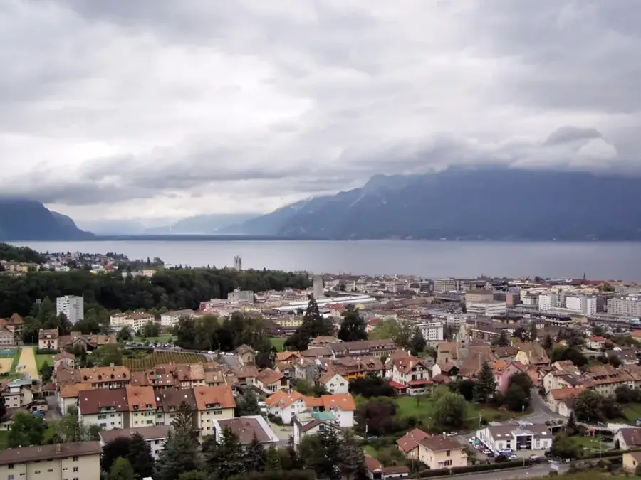
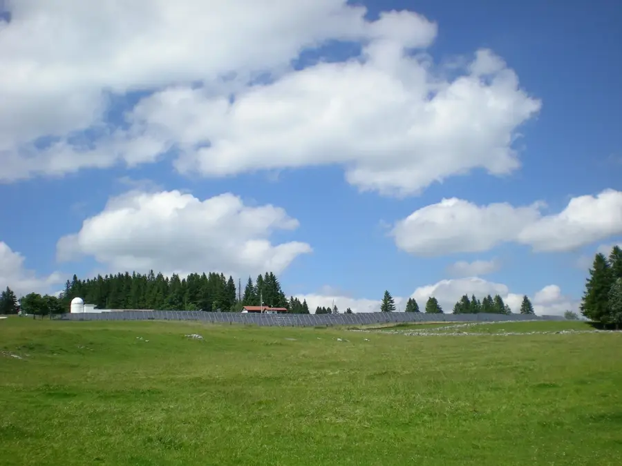
Mont-Soleil is a mountain ridge in the Bernese Jura, rising to an altitude of approximately 1290 meters above the town of Saint-Imier. It is primarily known as a location for pioneering projects in the field of renewable energies. In 1992, Switzerland's then-largest photovoltaic solar power plant was put into operation here, serving as a research and demonstration facility. This plant is supplemented by a wind farm that has been producing electricity since 1996 and has been continuously modernized. The geographical location on the high plateau gives optimal conditions for the use of solar and wind energy. In addition to its technical significance, Mont-Soleil is a popular destination for those interested in astronomy, as there is an observatory here that allows regular observations of the night sky. The region is also developed for tourism with hiking trails and mountain bike routes. Historically, the mountain was agriculturally characterized by the summer grazing of cattle before it became a symbol of the Swiss energy transition. Access is provided, among other things, via a funicular railway from Saint-Imier, which has been in operation since 1903.
- Location: Switzerland
- Top sights: Belvédère · Belvedere de La Cendrée · Point de vue Sur les Roches
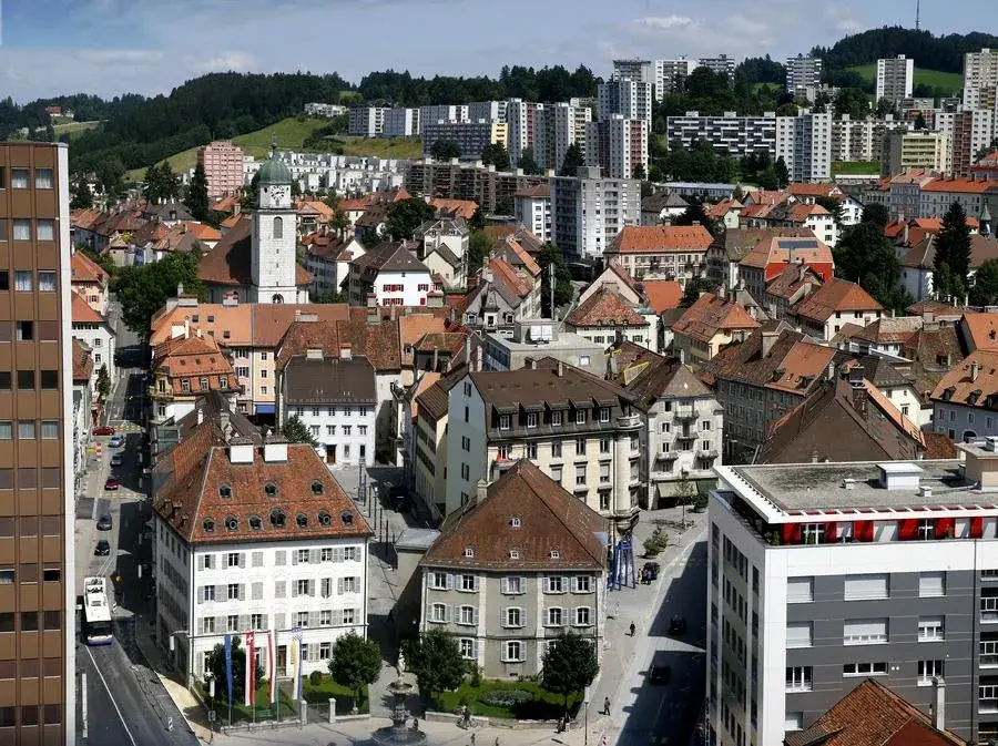
- Nearby: La Chaux-de-Fonds (6 km)
- Population: ~1.104
Best time to visit & climate
The most pleasant time to visit is Jun–Aug.
| Jan | Feb | Mar | Apr | May | Jun | Jul | Aug | Sep | Oct | Nov | Dec | |
|---|---|---|---|---|---|---|---|---|---|---|---|---|
| Avg °C | -1 | -1 | 3 | 8 | 12 | 16 | 18 | 17 | 13 | 9 | 4 | 0 |
| Rain mm | 85 | 66 | 86 | 83 | 124 | 113 | 113 | 118 | 83 | 100 | 85 | 96 |
Geography
Facts
- The summit of Mont-Soleil is at an altitude of 1291 m above sea level.
- The photovoltaic solar power plant was inaugurated on April 28, 1992.
- The solar plant has an installed peak capacity of 500 kWp.
- The Juvent wind farm began regular operation in 1996.
- A total of 16 wind turbines are located on the ridge of Mont-Soleil.
- The Saint-Imier–Mont-Soleil funicular began operation in 1903.
Explore nearby
Notable places around
Route planner — Car & Motorhome
Where do you start? We build the route here, with stops and country notes along the way.
© OpenStreetMap contributors · OpenRouteService
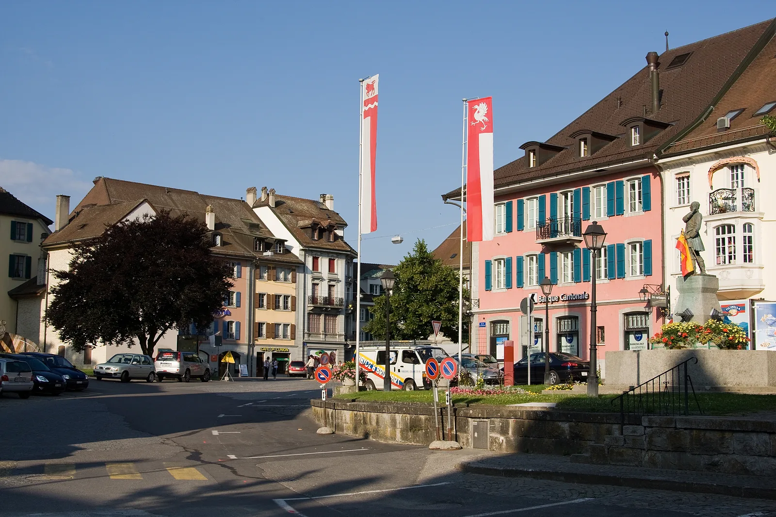
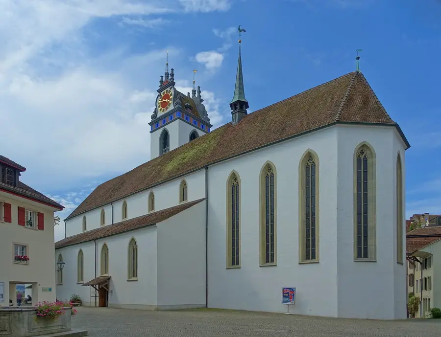
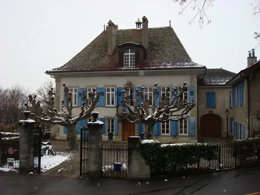
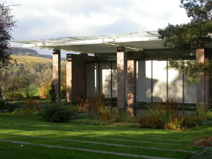
Sights in the town Mont-Soleil (6)
Frequently asked questions
What is the main attraction on Mont-Soleil?
How do you get to Mont-Soleil from Saint-Imier?
Are there wind turbines on Mont-Soleil?
Can you visit the solar power plant?
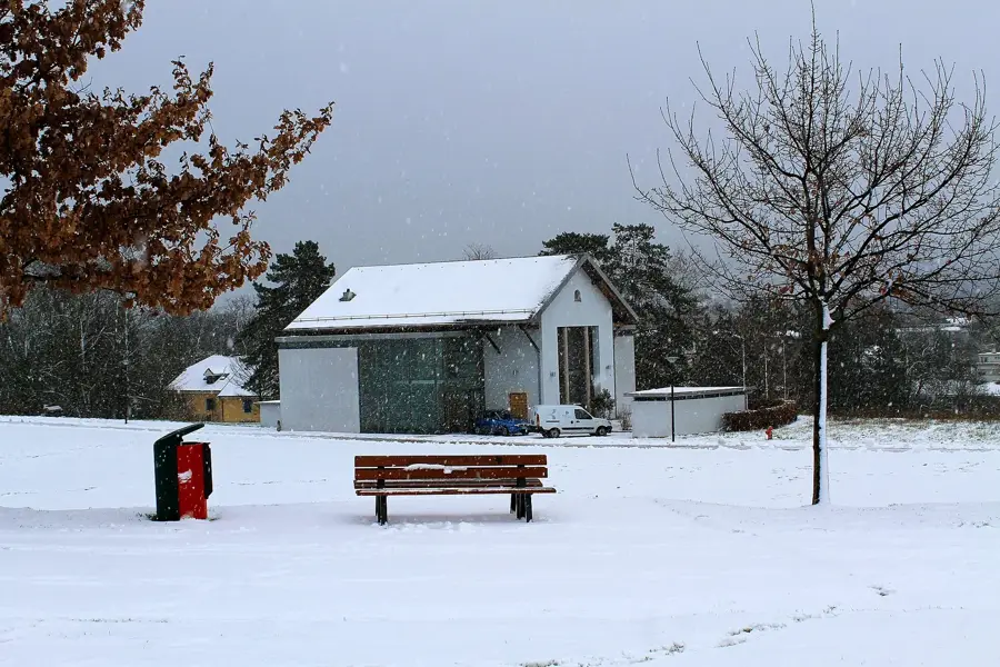
What can you do there in winter?
Mont-Soleil: where is it located?
Mont-Soleil: what is there to see?
Mont-Soleil: when is the best time to visit?
Mont-Soleil: why is it worth visiting?

Nearby cities