Plizio Visual Lab
Doubs River
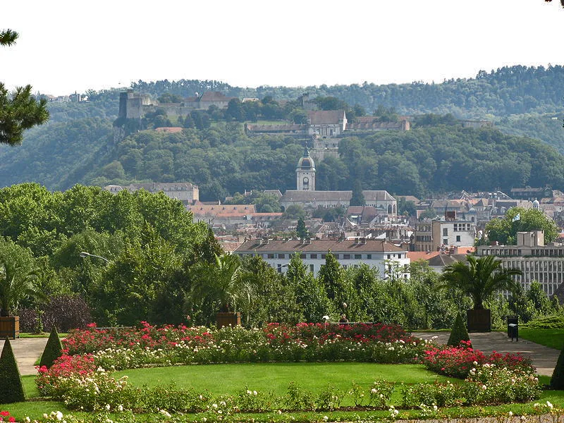
The Doubs is a 453-kilometer-long river that originates in the French Jura Mountains and forms a significant portion of the border between France and Switzerland. In Switzerland, it flows through the Clos du Doubs in the Canton of Jura, where it forms a distinctive loop. A geographical highlight is the Saut du Doubs waterfall near Les Brenets, where the water plunges 27 meters. The river's course is characterized by deep gorges and pristine nature, making it a vital habitat for rare species such as the Apron fish. Historically, the Doubs served as an important transport route and provided energy for the local watchmaking industry. Today, it is particularly popular with hikers and kayakers who value the tranquility of the Doubs Nature Park.
- Location: Switzerland
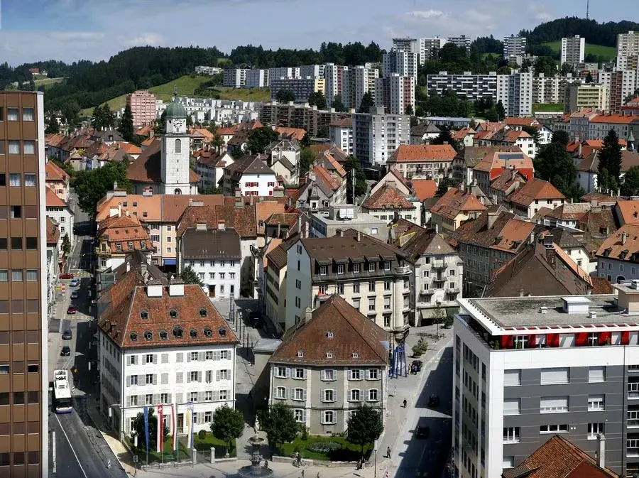
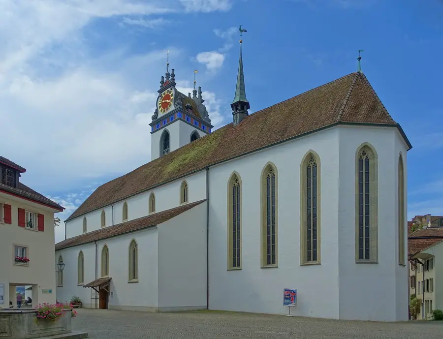
- Top sights: Église Saint-Nicolas · Église Saint-Renobert · Église du Saint-Nom-de-Marie
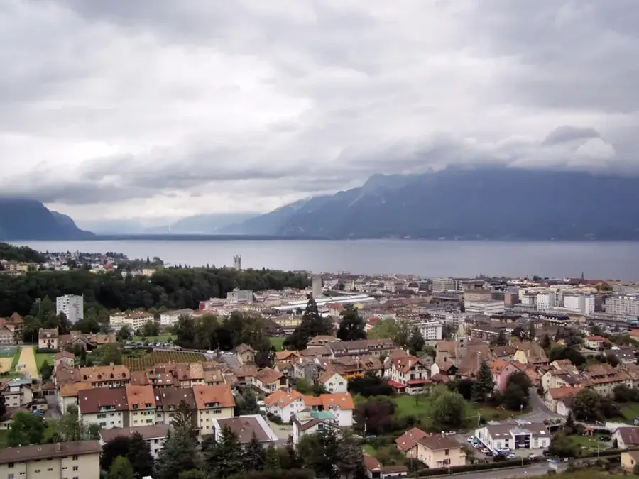
- Nearby: Mont-Soleil (11 km)
Best time to visit & climate
The most pleasant time to visit is Jun–Aug.
| Jan | Feb | Mar | Apr | May | Jun | Jul | Aug | Sep | Oct | Nov | Dec | |
|---|---|---|---|---|---|---|---|---|---|---|---|---|
| Avg °C | 0 | 0 | 4 | 8 | 12 | 16 | 18 | 18 | 14 | 10 | 4 | 1 |
| Rain mm | 102 | 81 | 97 | 85 | 122 | 109 | 104 | 109 | 85 | 106 | 102 | 116 |
📋 Practical info
Geography
Facts
- Total length of 453 km
- Saut du Doubs waterfall is 27 m high
- Forms the national border for 40 km
- Source located in Mouthe (France)
- Habitat for the rare Apron fish
- Tributary of the Saône river
Explore nearby
Notable places around
Route planner — Car & Motorhome
Where do you start? We build the route here, with stops and country notes along the way.
© OpenStreetMap contributors · OpenRouteService
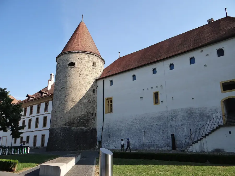
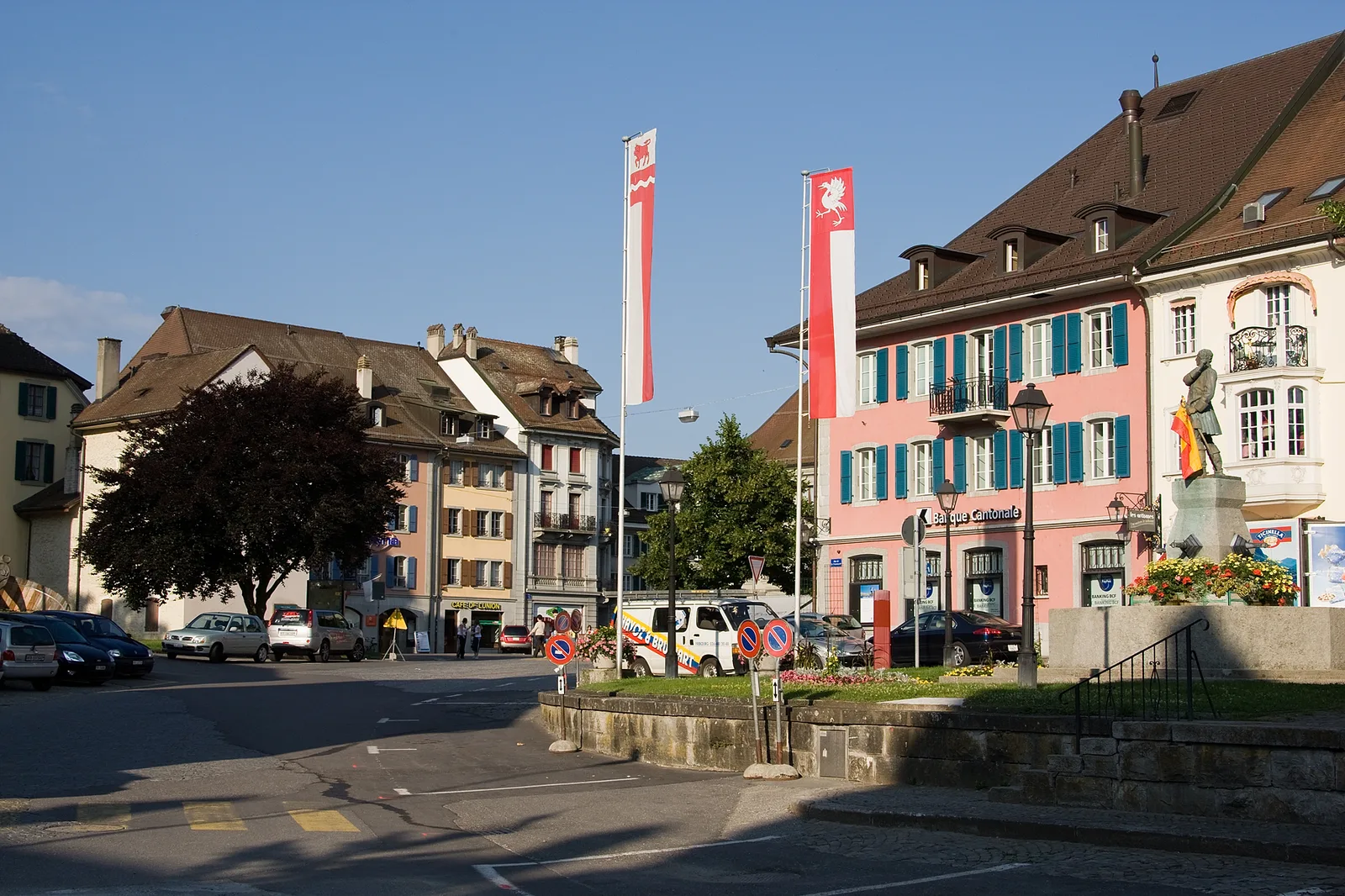
Sights in the town Doubs River (5)
Sights nearby
Frequently asked questions
What is the Saut du Doubs?
Can you take boat trips on the Doubs?
Which fish species is particularly well-known in the Doubs?
Are there hiking trails along the river?
What is St-Ursanne?
Doubs River: where is it located?
Doubs River: what is there to see?
Doubs River: when is the best time to visit?
Doubs River: why is it worth visiting?

Nearby cities