Plizio Visual Lab
Untersiggenthal

ℹ️Practical info — Untersiggenthal
▾
🌤 Weather — 5 days
📍 Nearby
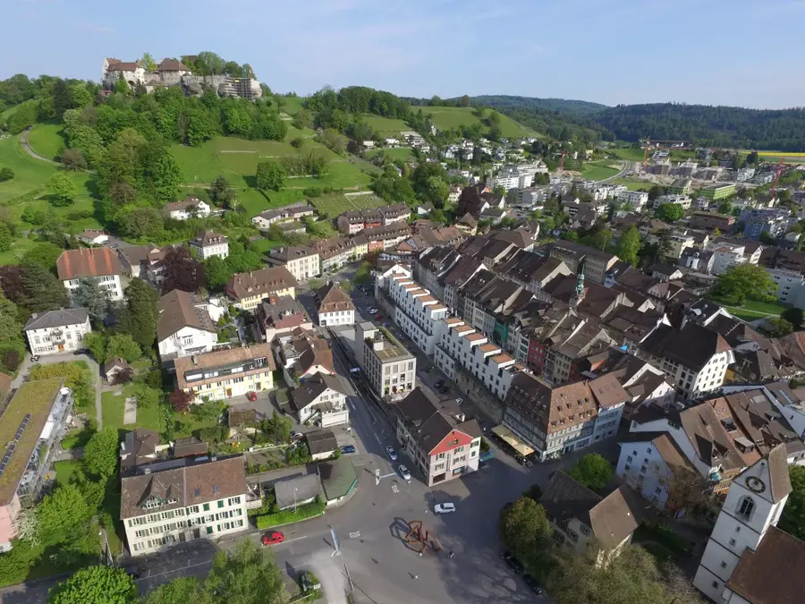
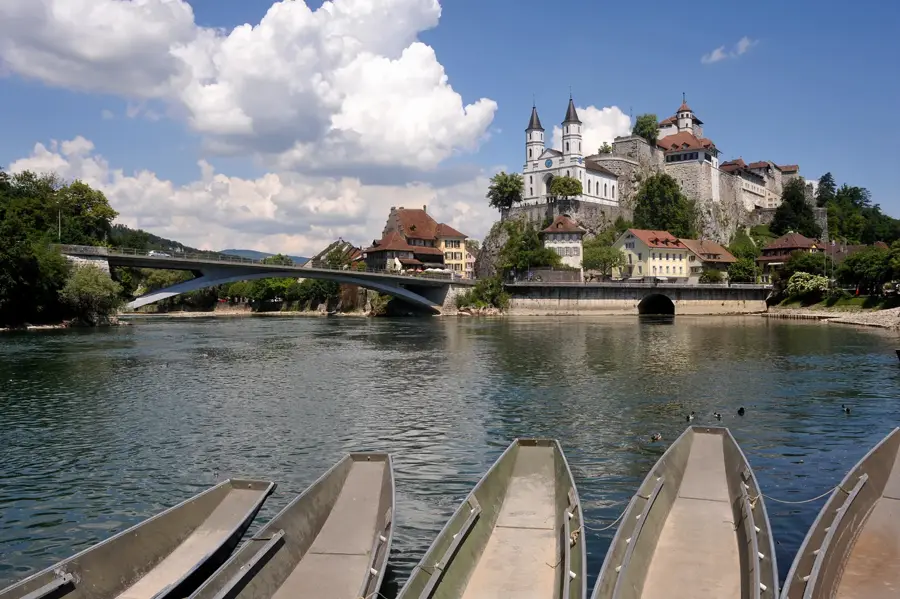
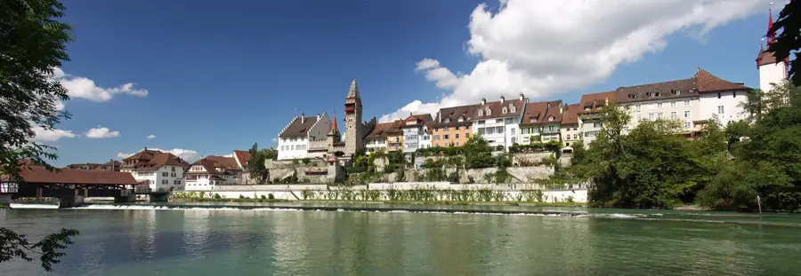
Sights nearby
💡 Tips
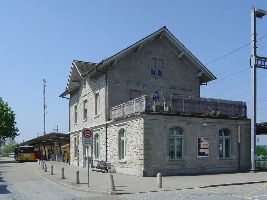
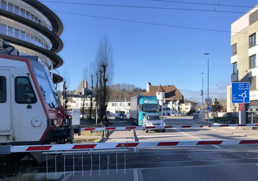
- The local bus network easily connects you to the nearby transport hub of Baden.
- Explore the 'Wasserschloss' (Water Castle) area where the Aare, Reuss, and Limmat rivers converge; it's a unique natural phenomenon.
- Bicycles are a great way to get around the flat river valleys surrounding the town.
- Visit the local forest paths in the late afternoon for some beautiful, dappled sunlight.
- Tap water here is of excellent quality, so just carry a refillable bottle.
🍽 Food
Try the famous local carrot cake in one of the village bakeries.
Pick up a freshly baked braided bread on Sunday morning from a local bakery.
Look for a traditional restaurant near the riverbanks for freshwater fish dishes.
🛍 Shopping · 🧘 Quiet spots
Buy fresh regional produce directly from the local farmers on the outskirts of town.
Stop by the local butcher shop for regional Swiss sausages.
Stroll along the tranquil paths next to the river Limmat.
Hike up this local hill for a peaceful escape and views over the Limmat valley.
Water temperature…
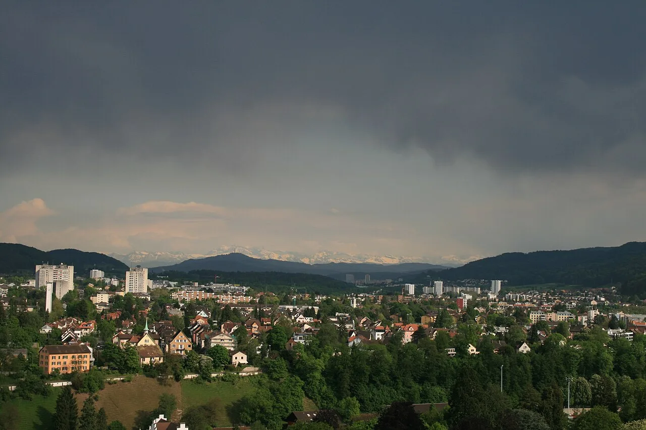
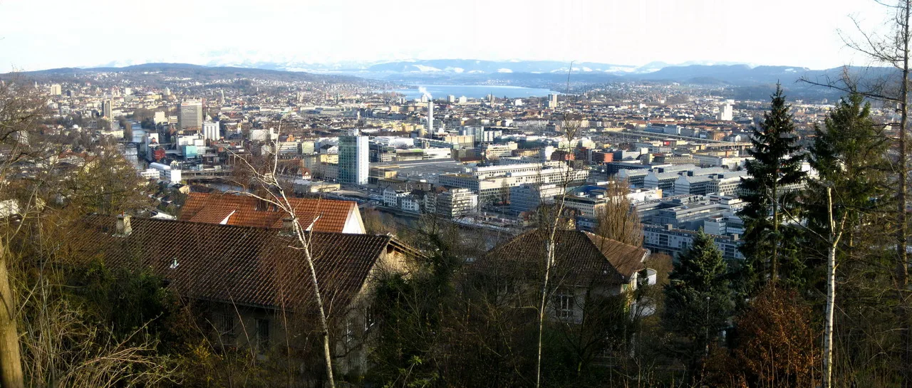
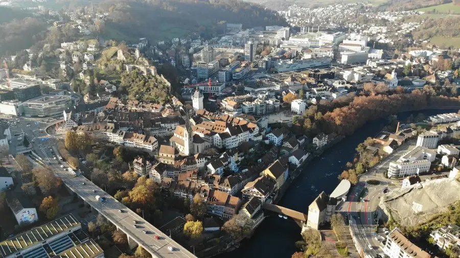
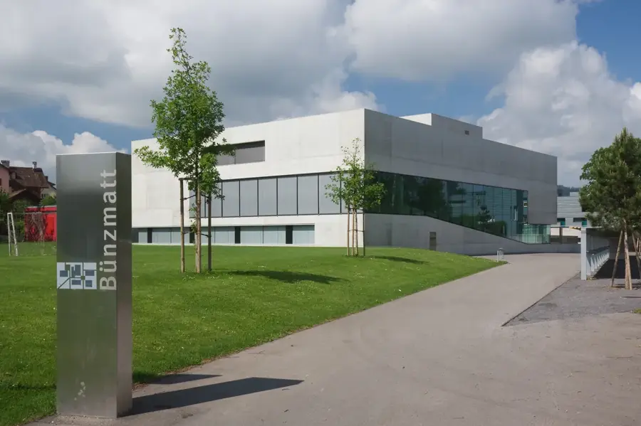
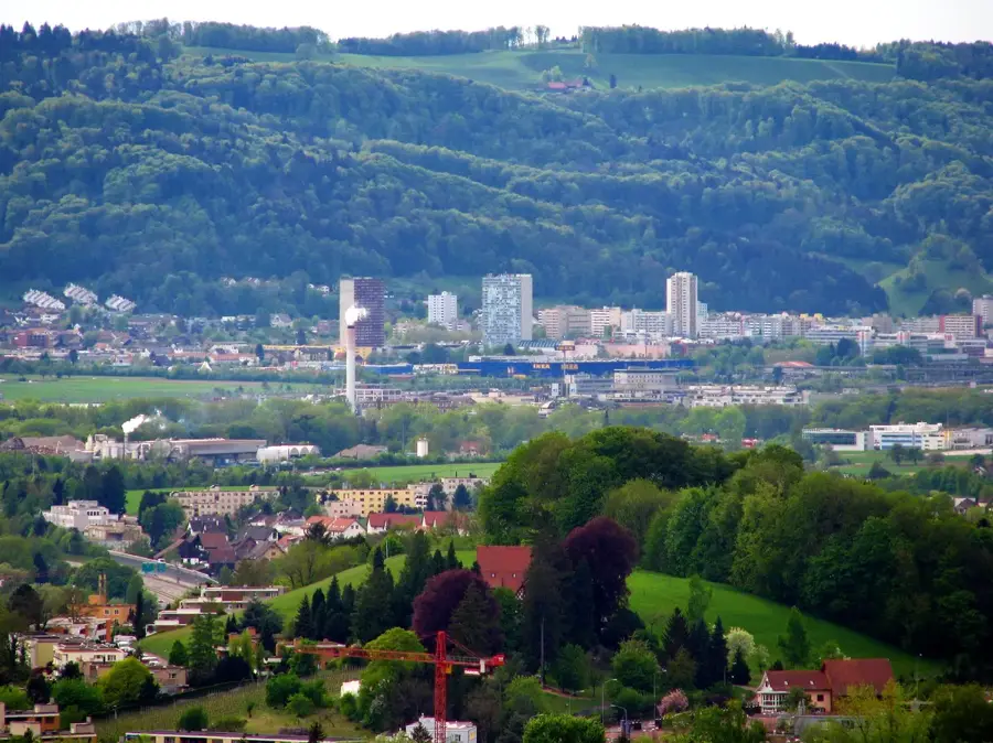
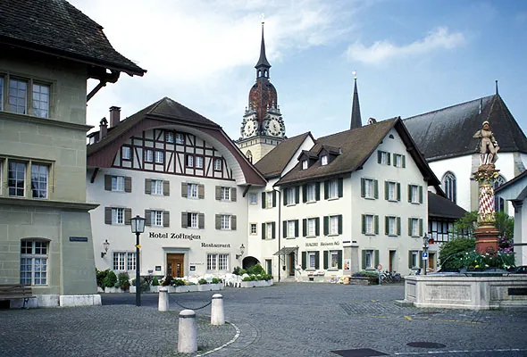
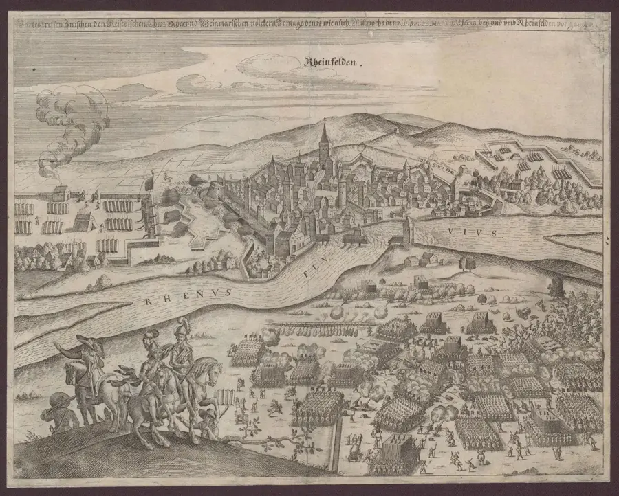
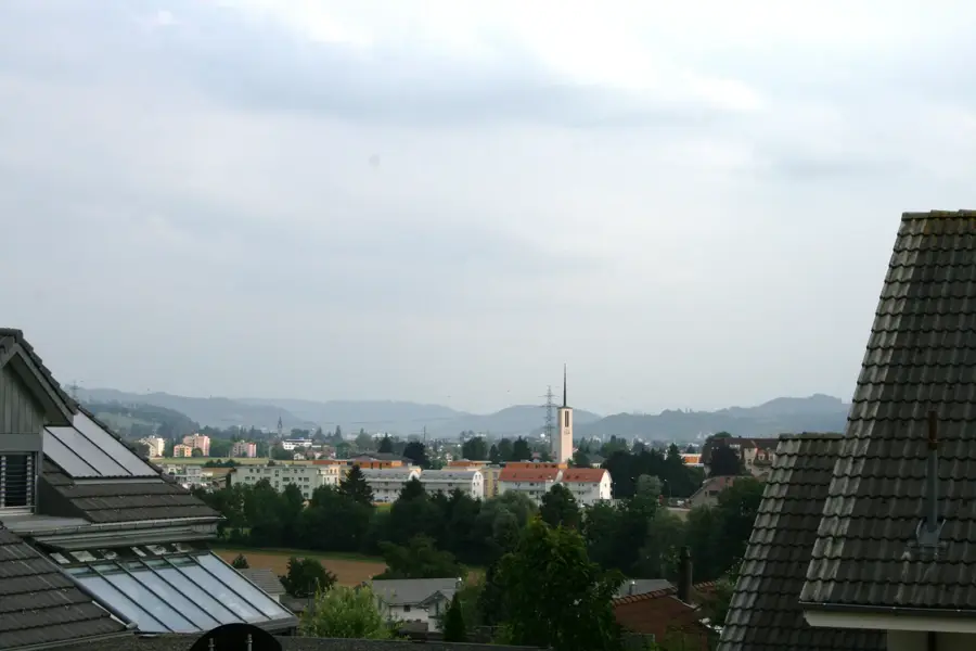
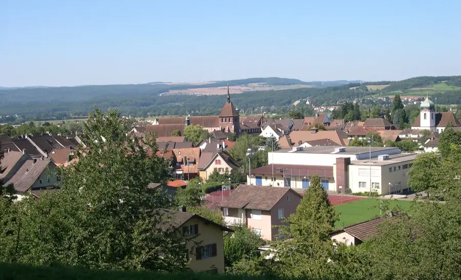
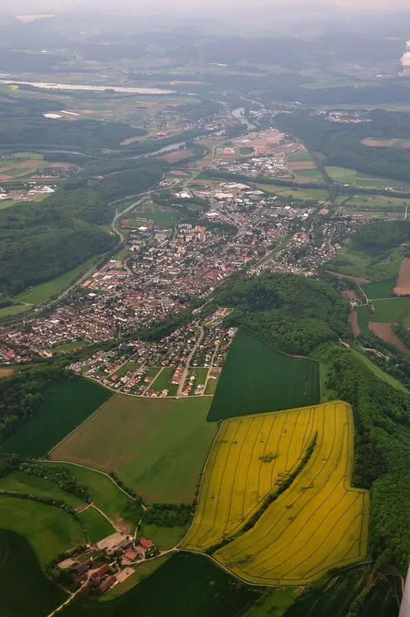
Untersiggenthal is located in the Baden district of the canton of Aargau and is geographically set between the foothills of the Jura Mountains and the confluence of the Limmat into the Aare. The region is often referred to as the Water Tower of Switzerland because the three major rivers Aare, Reuss, and Limmat meet here. The history of the area dates back quite far, evidenced by archaeological finds from the Bronze Age and the Roman era. The municipality was first mentioned in a document in 833 under the name Siggenthal. In the Middle Ages, agriculture defined the village landscape, but with the industrialization in neighboring Baden, Untersiggenthal transformed into a modern residential community with strong economic ties. Today, the town benefits from its proximity to major employers in the energy and technology sectors as well as excellent transport links to Zurich and Basel. In addition to economic dynamism, Untersiggenthal gives a high quality of life through extensive nature reserves along the river floodplains and at Strohegg. Cultural life is shaped by numerous local associations and regular events that preserve village cohesion within the growing agglomeration. Particularly striking is the modern community center, which serves as a meeting point for social and political activities.
- Location: Switzerland
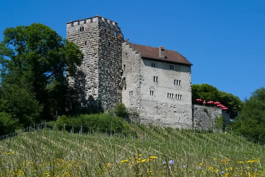
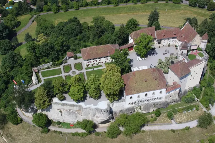
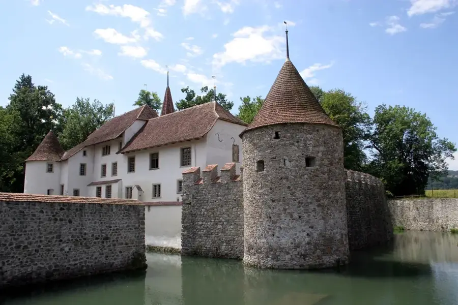
- Top sights: Ruine Freudenau · Vindonissa · Vindonissa-Museum
- Nearby: Baden (5 km)
- Population: ~7.140
Best time to visit & climate
The most pleasant time to visit is Jun–Aug.
| Jan | Feb | Mar | Apr | May | Jun | Jul | Aug | Sep | Oct | Nov | Dec | |
|---|---|---|---|---|---|---|---|---|---|---|---|---|
| Avg °C | -1 | 0 | 4 | 9 | 13 | 17 | 19 | 18 | 14 | 10 | 4 | 0 |
| Rain mm | 83 | 65 | 82 | 83 | 129 | 118 | 124 | 124 | 87 | 96 | 80 | 92 |
Geography
Facts
- First mentioned as Siggenthal in 833
- Bronze Age graves found in the area
- Highest elevation at Strohegg at 502 meters
- Industrial development due to proximity to Baden
- Part of the Water Tower cultural landscape
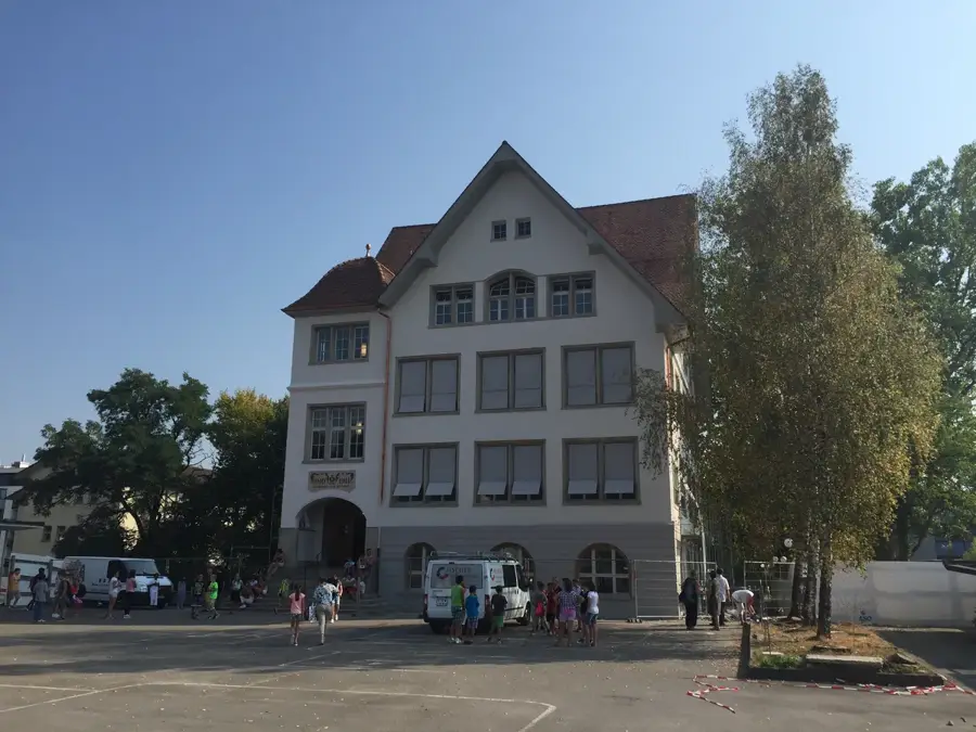
- Important educational center for the region
Explore nearby
Notable places around
Route planner — Car & Motorhome
Where do you start? We build the route here, with stops and country notes along the way.
© OpenStreetMap contributors · OpenRouteService
Sights in the town Untersiggenthal (23)
Frequently asked questions
In which canton is Untersiggenthal located?
What natural attractions are nearby?
Are there hiking opportunities in Untersiggenthal?
Is the town well-connected by public transport?
Are there restaurants in Untersiggenthal?
Untersiggenthal: where is it located?
Untersiggenthal: what is there to see?
Untersiggenthal: when is the best time to visit?
Untersiggenthal: why is it worth visiting?

Nearby cities
History & landmarks
Nature
More places