Plizio Visual Lab
Mahaday
ℹ️Practical info — Mahaday
▾
🌤 Weather — 5 days
📍 Nearby
Sights nearby
💡 Tips
- Visit the orchards along the Shabelle River to see the region's lush agricultural landscape.
- Avoid traveling during the rainy season as river flooding can make roads impassable.
- Try the fresh mangoes and papayas directly from the local farmers' markets.
- Mosquito repellent is essential when staying near the river areas.
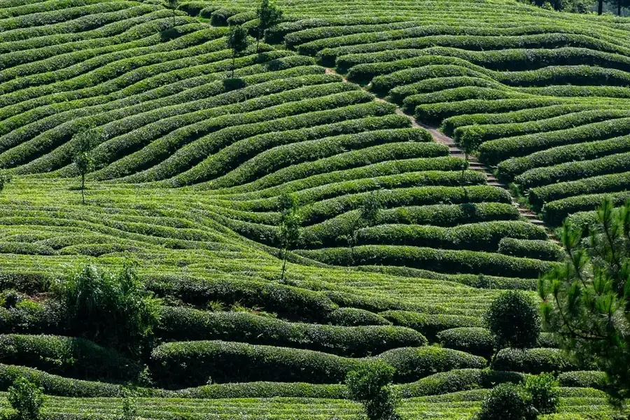
- Mahaday is a major agricultural hub; a walk through the cultivated fields is highly recommended.
🍽 Food
Freshly harvested mangoes, bananas, and papayas of unmatched quality.
Dishes made from fish caught in the Shabelle River, often fried or stewed.
A traditional maize porridge, often enjoyed with milk or a savory meat sauce.
🛍 Shopping · 🧘 Quiet spots
The best place to buy a variety of fresh local produce at very affordable prices.
Look for fresh spices and locally processed farm staples.
A peaceful spot to watch the flowing water and the diverse birdlife.
The large fruit orchards provide cool shade and a tranquil atmosphere.
Water temperature…
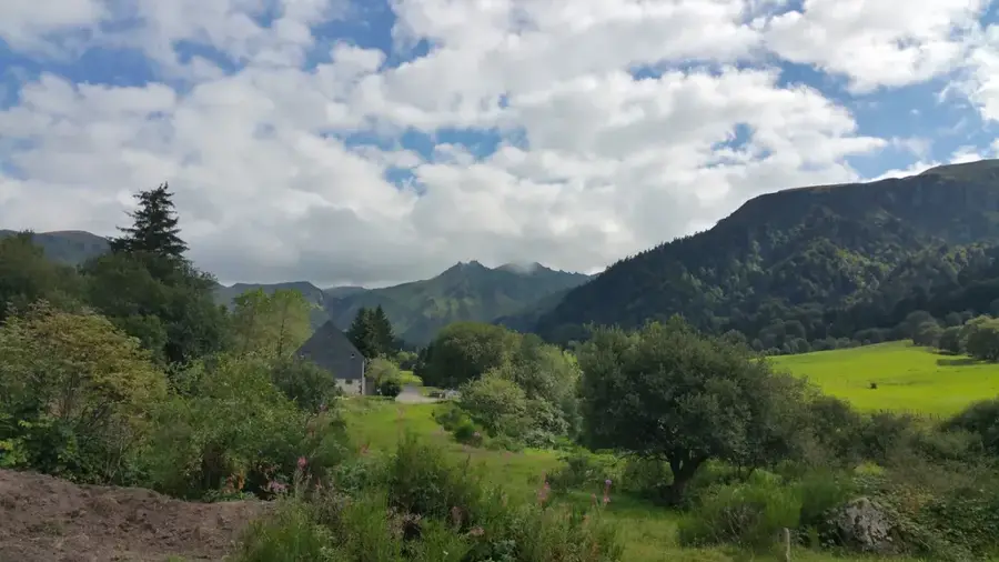
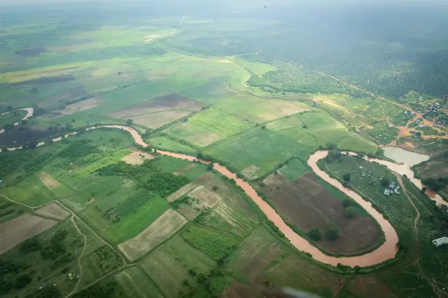
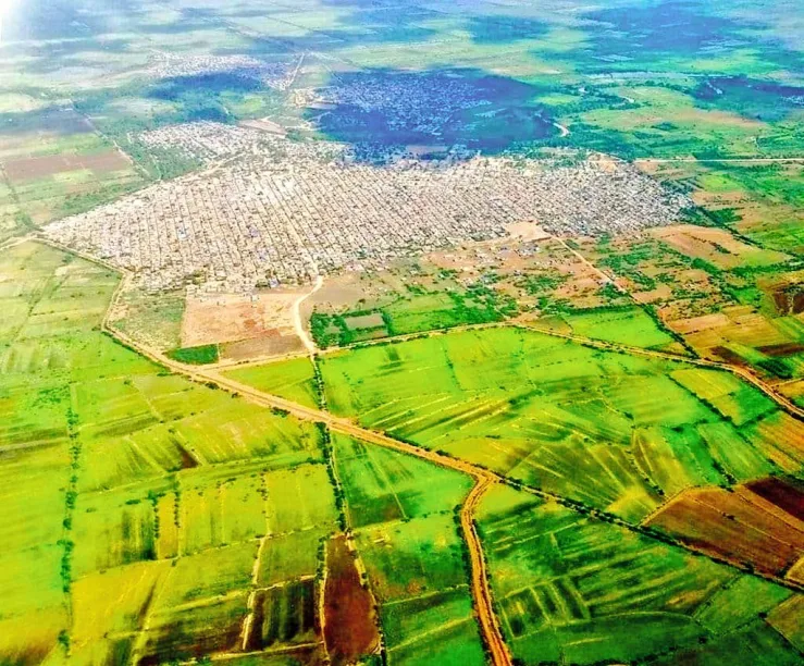
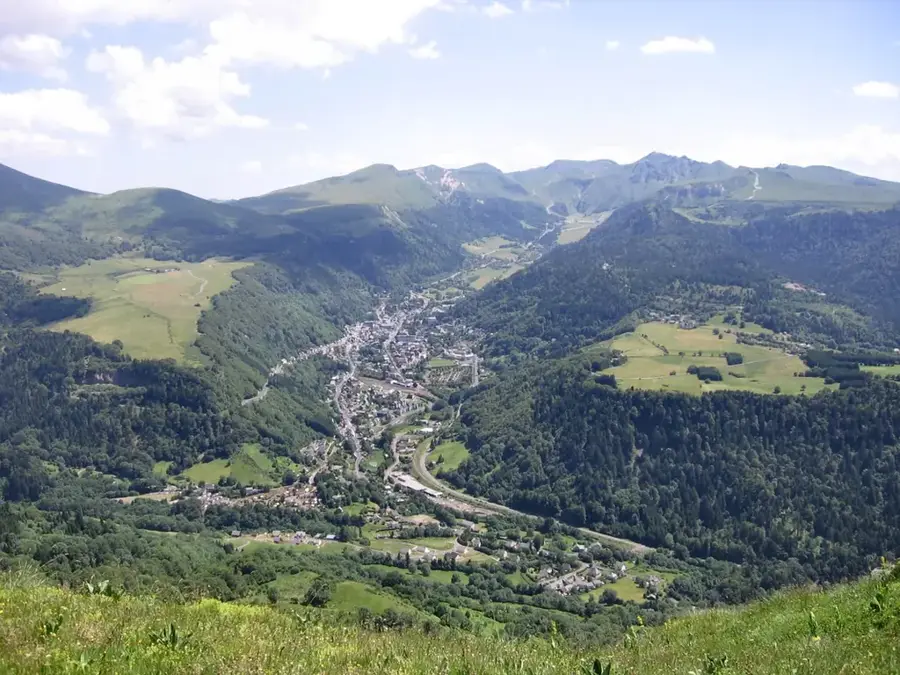
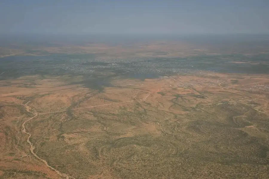
Mahaday, often referred to as Mahaday Weyne, is an agriculturally focused town in the Middle Shabelle (Shabeellaha Dhexe) region of Somalia. It is situated on the banks of the Shabelle River, approximately 25 kilometers north of the regional capital, Jowhar. Thanks to the fertile alluvial soils and the proximity to the river, Mahaday is a major center for cultivating sugarcane, maize, bananas, and various vegetables. Historically, the town was closely linked to the sugar factory in Jowhar, serving as a vital production area for agricultural raw materials. The landscape around Mahaday is unusually green and water-rich compared to much of Somalia, making it an attractive location for sedentary farmers. Despite recurring seasonal flooding of the Shabelle River, the town plays a key role in the region's food security. Local markets are bustling, offering a wide array of fresh produce that is transported as far as the capital, Mogadishu.
- Location: Somalia
- Top sights: Hiloaxmadey · Burane
- Nearby: Jowhar (15 km)
- Population: ~8.273 (2012)
Best time to visit & climate
The most pleasant time to visit is Jan, Jun, Jul.
| Jan | Feb | Mar | Apr | May | Jun | Jul | Aug | Sep | Oct | Nov | Dec | |
|---|---|---|---|---|---|---|---|---|---|---|---|---|
| Avg °C | 28 | 28 | 30 | 29 | 28 | 27 | 26 | 26 | 27 | 28 | 28 | 28 |
| Rain mm | 2 | 2 | 18 | 118 | 53 | 19 | 15 | 41 | 41 | 107 | 103 | 14 |
Geography
Facts
- Geographic coordinates: 2°49' North and 45°32' East.
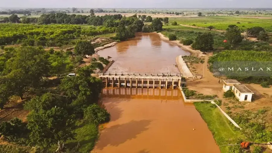
- Located in the fertile valley of the Shabelle River.
- A major producer of sugarcane and various fruits for Mogadishu.
- Home to significant irrigation systems dating back to the colonial era.
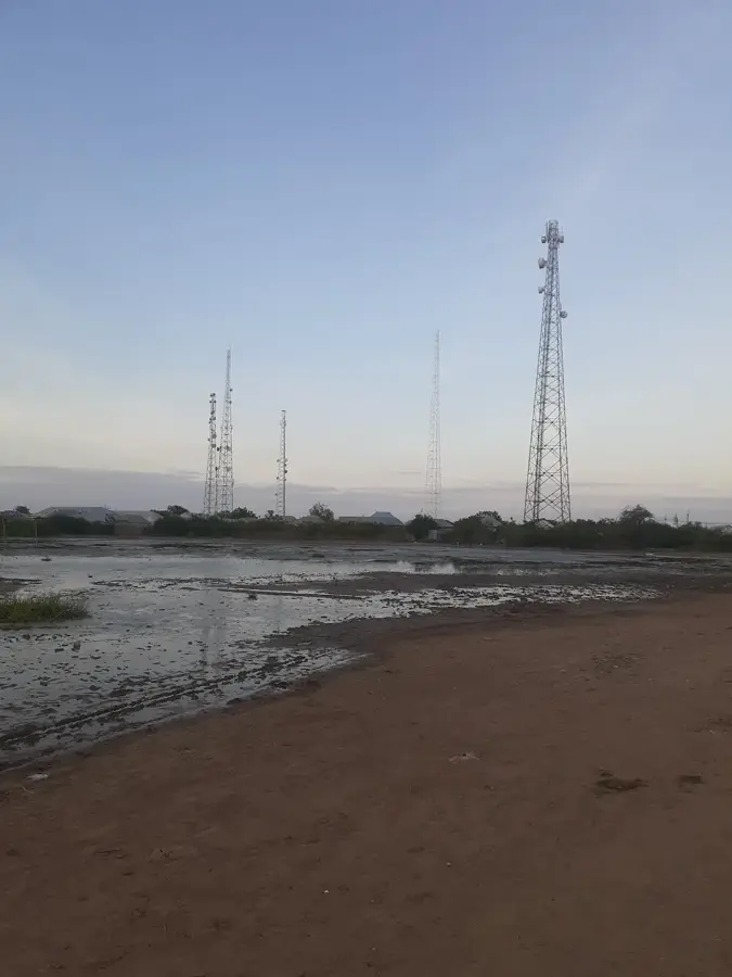
- Infrastructurally connected via the road between Mogadishu and Beledweyne.
- The population consists primarily of sedentary agropastoralists.
Explore nearby
Notable places around
Route planner — Car & Motorhome
Where do you start? We build the route here, with stops and country notes along the way.
© OpenStreetMap contributors · OpenRouteService
Sights in the town Mahaday (2)
Frequently asked questions
Where is Mahaday located?
What characterizes the region?
Are there any attractions?
Is the travel easy?
What should one know?
Mahaday: where is it located?
Mahaday: what is there to see?
Mahaday: when is the best time to visit?
Mahaday: why is it worth visiting?

Nearby cities


History & landmarks
Nature
More places