Plizio Visual Lab
Puy de Dôme
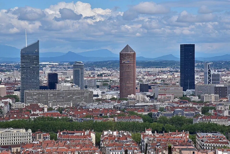
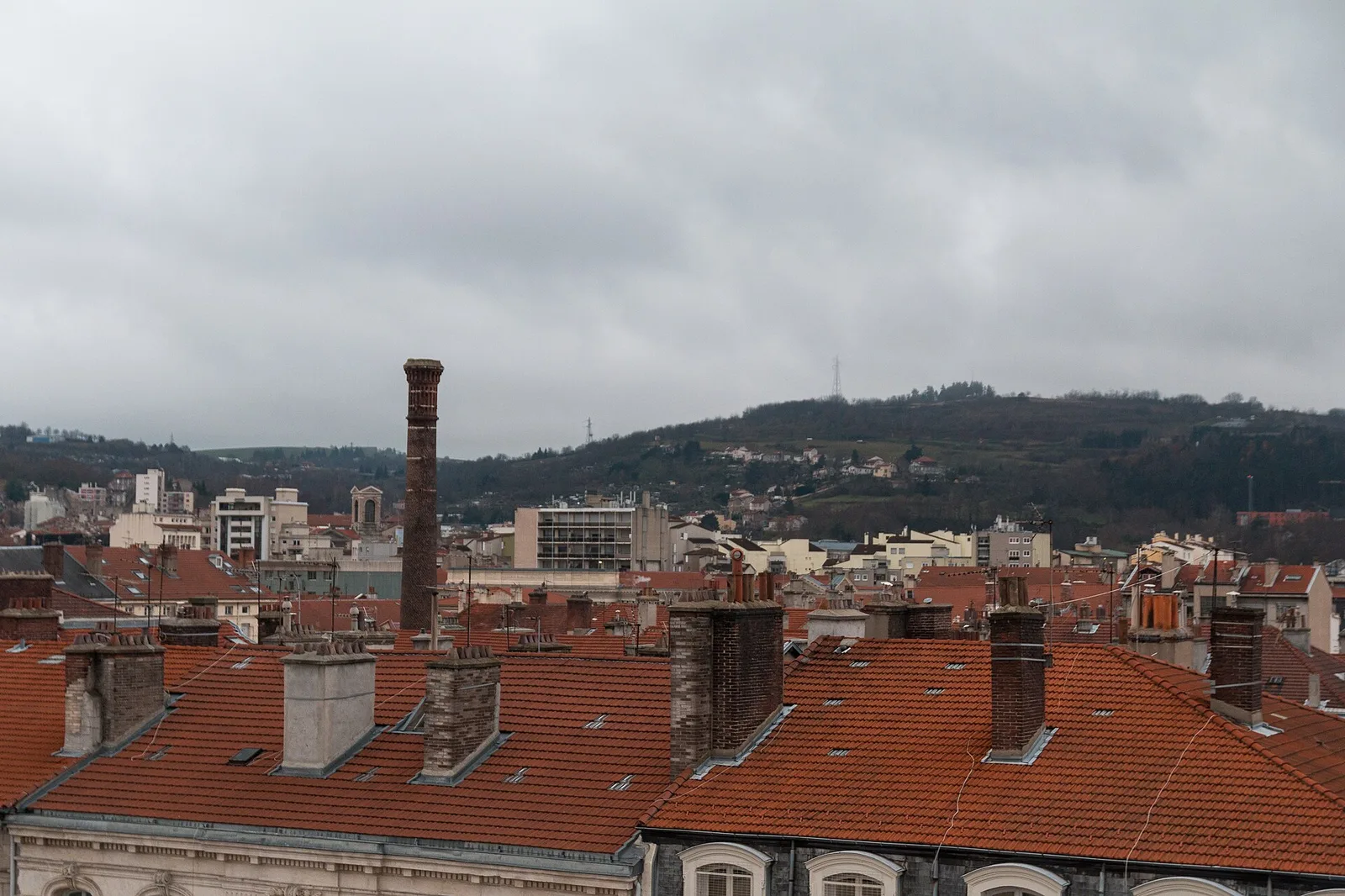
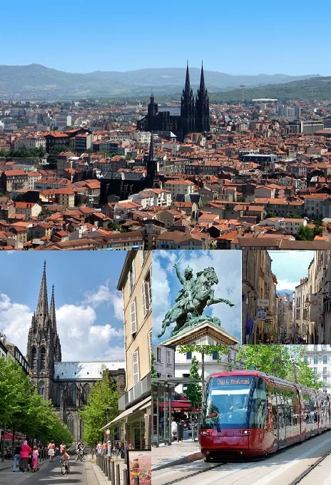
Puy de Dôme is a prominent lava dome and the most famous volcano in the Chaîne des Puys range within the French Massif Central. Located about 15 kilometers from the city of Clermont-Ferrand, it reaches an elevation of 1,465 meters above sea level. The volcano was formed approximately 11,000 years ago during a series of explosive eruptions, giving it its characteristic rounded shape without a visible crater. The summit is home to the remains of a Gallo-Roman temple dedicated to Mercury, dating back to the 2nd century, which highlights the site's ancient historical importance. Today, Puy de Dôme is a major tourist attraction and has been part of the UNESCO World Heritage list since 2018 as part of the Chaîne des Puys tectonic arena. Visitors can reach the summit either on foot via the ancient pilgrim path called "Sentier des Muletiers" or by the "Panoramique des Dômes" rack railway. The mountain has spectacular views of the surrounding 80 volcanic cones and is a popular launch site for paragliders.
- Location: Auvergne-Rhône-Alpes, France
- Top sights: Espace Temple de Mercure · Temple de Mercure · Grottes du Petit Suchet
- Nearby: Ceyrat (9 km)
Best time to visit & climate
The most pleasant time to visit is Jun–Aug.
| Jan | Feb | Mar | Apr | May | Jun | Jul | Aug | Sep | Oct | Nov | Dec | |
|---|---|---|---|---|---|---|---|---|---|---|---|---|
| Avg °C | 2 | 2 | 6 | 9 | 13 | 18 | 20 | 20 | 16 | 11 | 6 | 3 |
| Rain mm | 44 | 33 | 45 | 63 | 80 | 68 | 68 | 69 | 55 | 64 | 61 | 50 |
📋 Practical info
Geography
Facts
- The elevation of Puy de Dôme is 1,465 meters.
- The volcano was formed approximately 11,000 years ago.
- It has been a UNESCO World Heritage site since 2018.
- The summit contains ruins of a Mercury temple from the 2nd century.
- The rack railway to the summit was inaugurated in 2012.
- Blaise Pascal conducted famous barometric experiments here in 1648.
Explore nearby
Notable places around
Route planner — Car & Motorhome
Where do you start? We build the route here, with stops and country notes along the way.
© OpenStreetMap contributors · OpenRouteService
Sights in the town Puy de Dôme (5)
Puy de Montrodeix
Volcanic peak in the Chaîne des Puys, 1200 m high.
Sights nearby
Frequently asked questions
How can you reach the summit of Puy de Dôme?
Are there ancient ruins on the mountain?
Is paragliding allowed on Puy de Dôme?
Is the summit accessible year-round?
What can be seen from the top?
Puy de Dôme: where is it located?
Puy de Dôme: what is there to see?
Puy de Dôme: when is the best time to visit?
Puy de Dôme: why is it worth visiting?

Nearby cities