Plizio Visual Lab
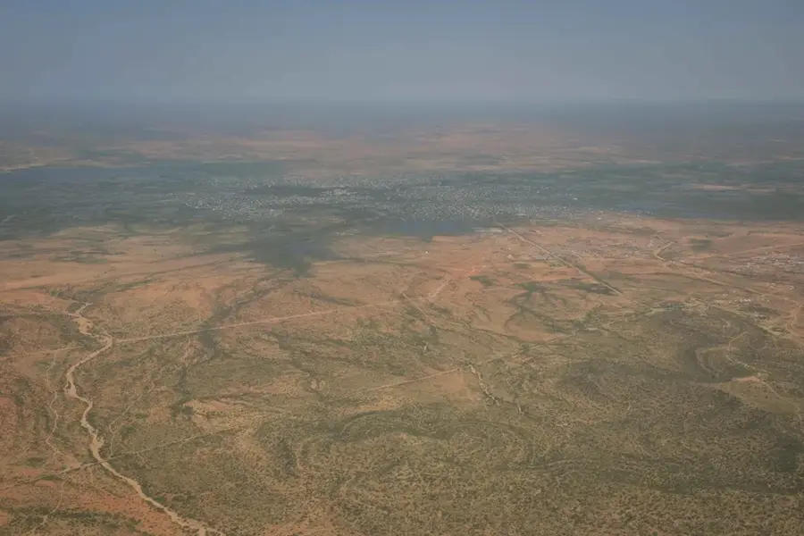
Shabelle Valley Basin
Weather…
Water temperature…
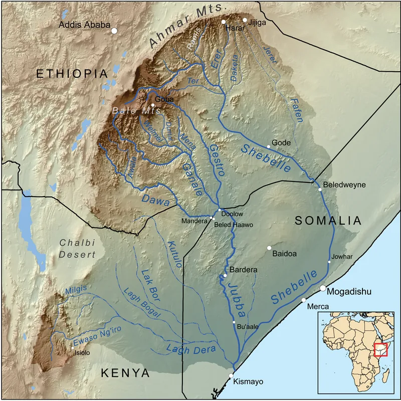
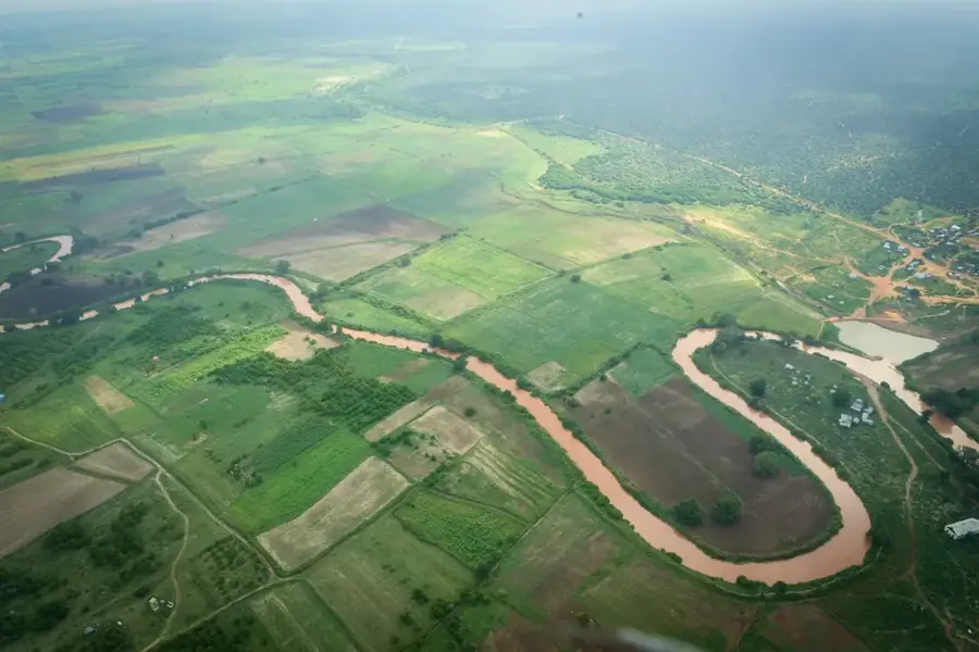
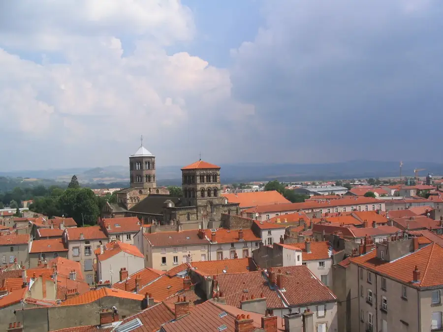
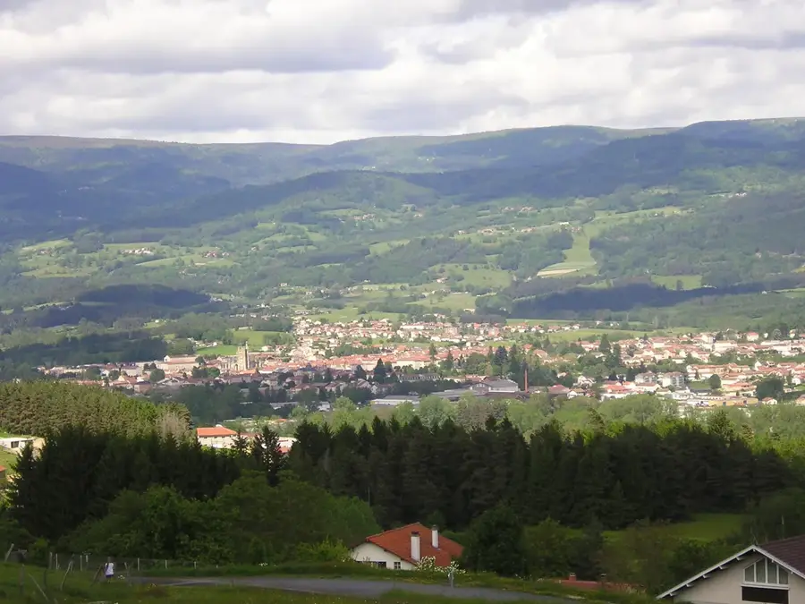
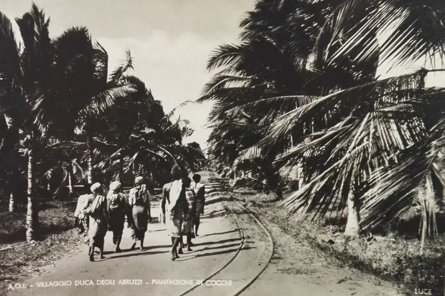
The Shabelle Valley Basin in southern Somalia is the agricultural heart of the country and is fed by the Shebelle River. It originates in the Ethiopian highlands and flows over 1,100 kilometers before mostly disappearing into the sand in the coastal plains near Jilib or flowing into the Jubba River during floods. The valley is characterized by its fertile alluvial soils, which allow for the intensive cultivation of bananas, sugarcane, maize, and citrus fruits. Historically, the region was developed during the colonial era through large-scale irrigation projects that formed the basis for modern Somali agricultural economy. The landscape is defined by dense riverine forests that form a sharp contrast to the surrounding dry savanna and provide habitat for hippos and crocodiles. The Shabelle Valley is not only economically vital but also culturally significant as a center of sedentary farming communities in contrast to the nomadic tradition of the north. Despite seasonal flood risks, the basin remains the most densely populated area of Somalia outside the capital.
- Location: Somalia
- Nearby: Bulo Burti (49 km)
Best time to visit & climate
The most pleasant time to visit is Jan, Jul, Dec.
| Jan | Feb | Mar | Apr | May | Jun | Jul | Aug | Sep | Oct | Nov | Dec | |
|---|---|---|---|---|---|---|---|---|---|---|---|---|
| Avg °C | 27 | 29 | 30 | 29 | 28 | 27 | 26 | 27 | 28 | 28 | 27 | 27 |
| Rain mm | 3 | 3 | 21 | 118 | 49 | 15 | 11 | 29 | 26 | 121 | 110 | 17 |
📋 Practical info
Geography
Facts
- The total length of the Shebelle River is approximately 1,130 kilometers.
- The fertile alluvial soils are locally known as 'Guban'.
- The Janale irrigation system was established in the 1920s.
- The region produces over 80% of Somali banana exports.
- The Shebelle River has no permanent mouth into the ocean in Somalia.
- The average width of the river in the valley is 40 to 60 meters.
Explore nearby
Notable places around
Route planner — Car & Motorhome
Where do you start? We build the route here, with stops and country notes along the way.
© OpenStreetMap contributors · OpenRouteService
Sights nearby
Frequently asked questions
Is the Shabelle Valley fertile?
Are there many mosquitoes in the valley?
Can you visit the valley?
Is there public transport?
What time is best for the journey?
Shabelle Valley Basin: where is it located?
Shabelle Valley Basin: when is the best time to visit?
Shabelle Valley Basin: why is it worth visiting?

Nearby cities
Nature
More places