Plizio Visual Lab
Romagnat
ℹ️Practical info — Romagnat
▾
🌤 Weather — 5 days
📍 Nearby
Sights nearby
💡 Tips
- The nearby Gergovia Plateau has not only incredible panoramic views of the Chaîne des Puys, but also deep Gaulish history.
- Use Romagnat as a quieter base camp for exploring the Auvergne volcanoes; trails often start just outside the town.
- Public transport (T2C network) connects Romagnat directly to central Clermont-Ferrand, making city parking hassles avoidable.
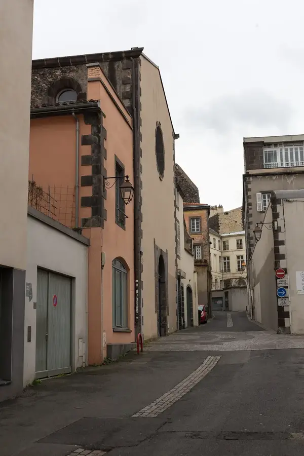
- The historic center has narrow streets; it is best to park on the outskirts and explore the old winegrowers' houses on foot.
🍽 Food
A hearty dish of potatoes and local tomme cheese, best enjoyed in a rustic auberge near the hiking trails.
Pick up local Saint-Nectaire or Bleu d'Auvergne at a traditional fromagerie in the town center.
A warming pork and cabbage stew, well-suited after a day of hiking the volcanoes.
🛍 Shopping · 🧘 Quiet spots
Visit the local market for fresh Auvergne produce, charcuterie, and regional honey.
Stop by a local boulangerie for crusty regional breads great for your hiking picnic.
Hike up this small nearby peak for a peaceful natural escape and sweeping views of the region.
A calm, green park right in the town, well-suited for a short afternoon rest.
Water temperature…
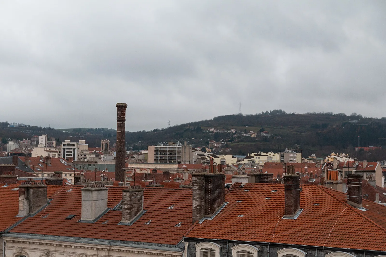
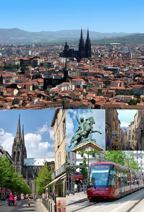
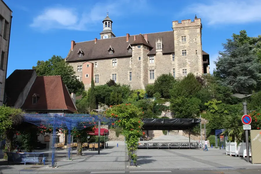
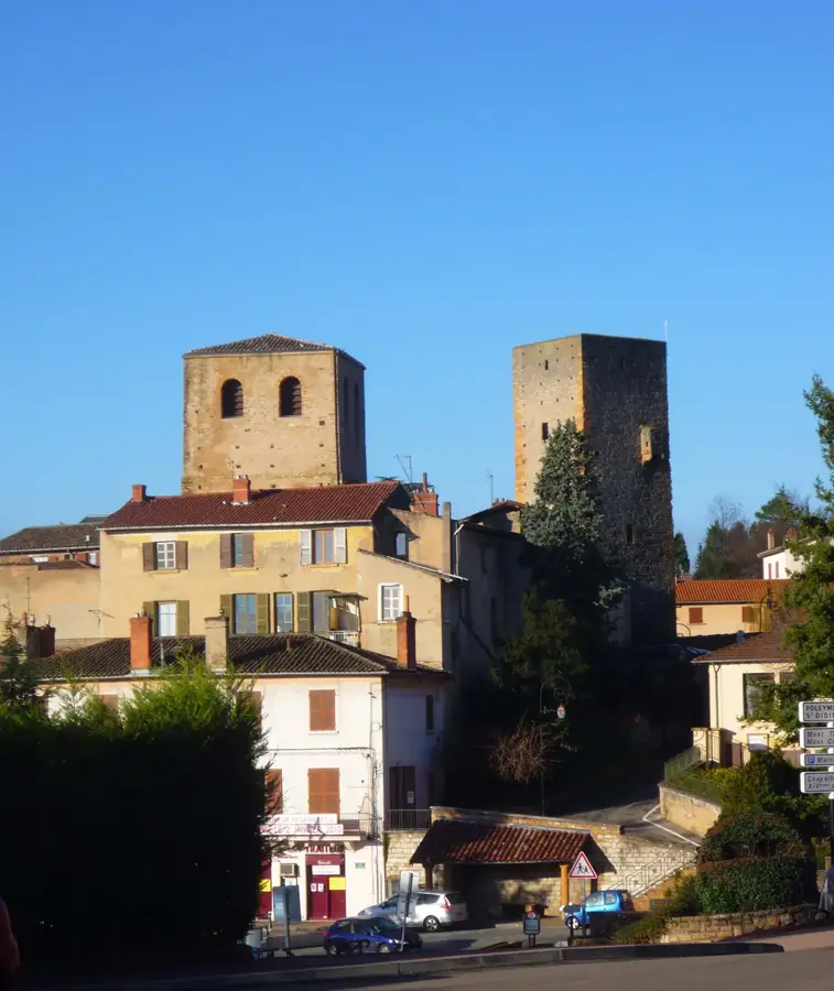
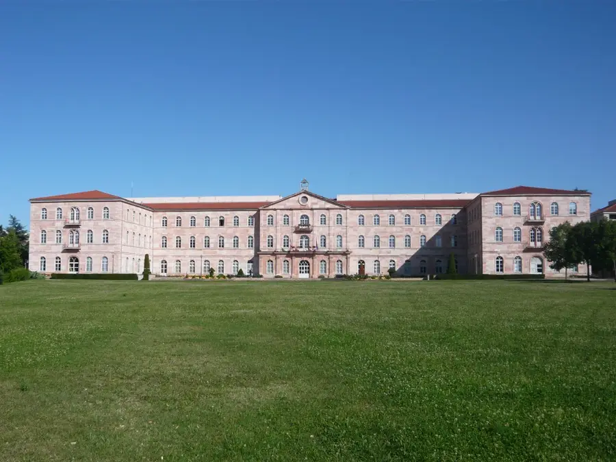
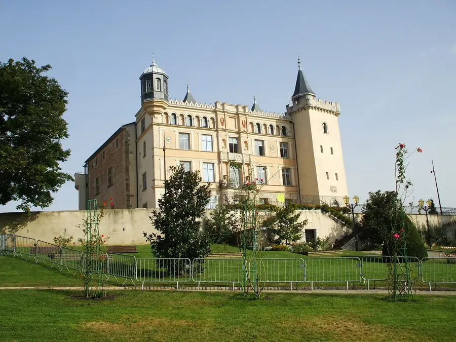
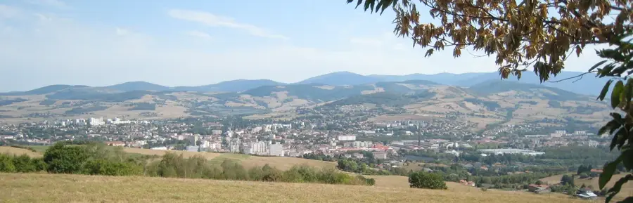
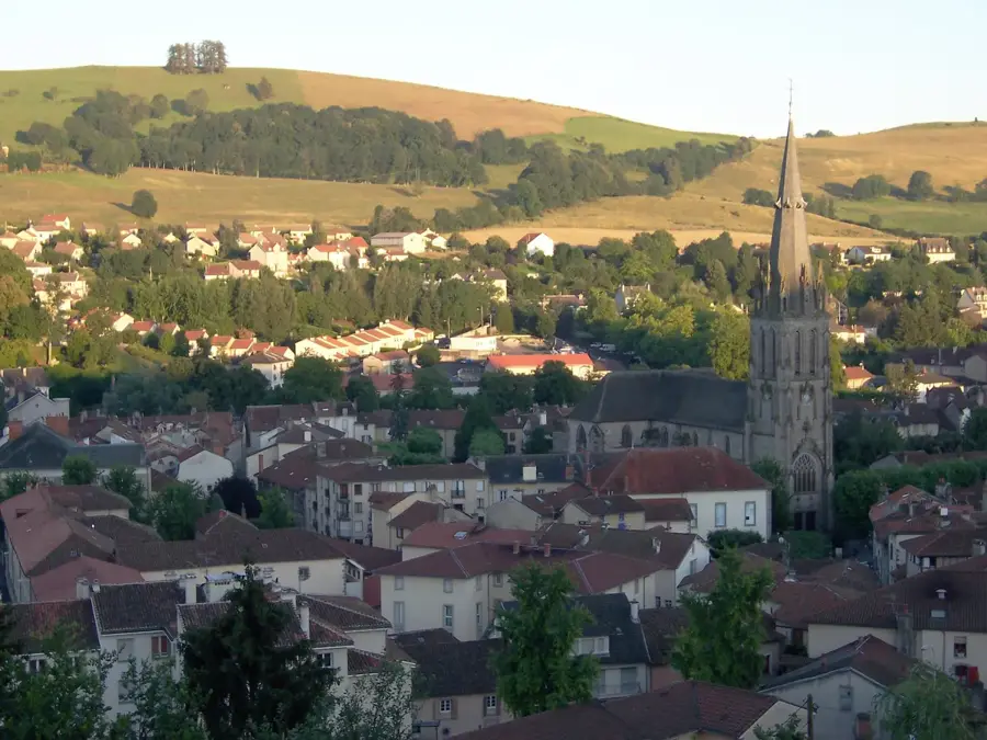
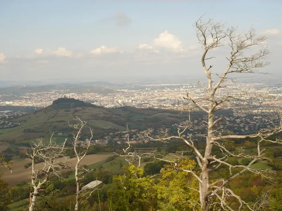
Romagnat is an animated town in the Puy-de-Dôme department, situated on the southern outskirts of Clermont-Ferrand. Positioned against the slopes of the Gergovie plateau, its location provides wide-open views of the UNESCO-listed Chaîne des Puys volcanic chain. The area's history is legendary, as it lies near the site of the Battle of Gergovie, where the Gallic chieftain Vercingetorix famously defeated Julius Caesar's legions in 52 BC. The town's name, of Gallo-Roman origin, points to over two millennia of continuous habitation. Historically, Romagnat was a significant center for viticulture until the late 19th century, a past still visible in the traditional dark volcanic stone architecture of the old quarter. Today, it serves as a dynamic residential hub for the Auvergne capital, deeply connected to the regional economy. The town is also noted for its historic estates, such as the Château d'Opme, and its extensive network of hiking trails that traverse the unique volcanic landscape.
- Location: Auvergne-Rhône-Alpes, France
- Top sights: Château d'Opme · Gergovie Plateau · Château des Saulzet
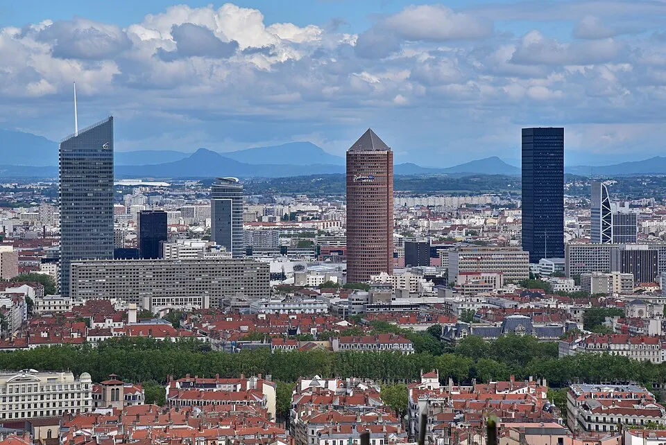
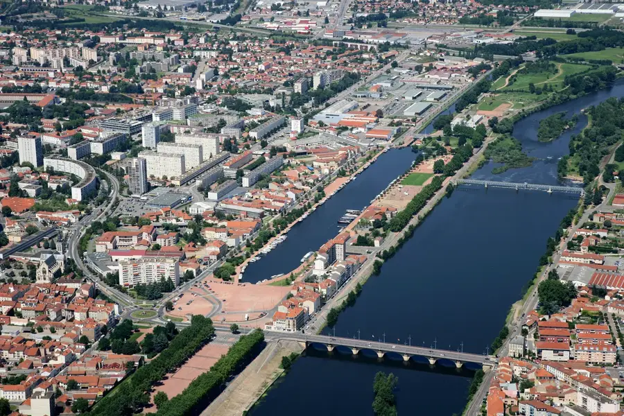
- Nearby: Clermont-Ferrand (5 km)
- Population: ~7.997
Best time to visit & climate
The most pleasant time to visit is Jun–Aug.
| Jan | Feb | Mar | Apr | May | Jun | Jul | Aug | Sep | Oct | Nov | Dec | |
|---|---|---|---|---|---|---|---|---|---|---|---|---|
| Avg °C | 0 | 1 | 4 | 8 | 11 | 16 | 18 | 18 | 14 | 10 | 5 | 1 |
| Rain mm | 50 | 38 | 50 | 67 | 83 | 72 | 68 | 72 | 61 | 70 | 69 | 55 |
Geography
Facts
- The Gergovie plateau is located just 2 kilometers from the town center.
- The municipality features three historic châteaux: Opme, Bezance, and Romagnat.
- The elevation of the town ranges significantly from 391 to 837 meters.
- Romagnat covers a total land area of 16.84 square kilometers.
- It is home to the Saulzet thermal springs, historically used for agriculture.
- The town is a key gateway to the Volcans d'Auvergne Regional Park.
Explore nearby
Notable places around
Route planner — Car & Motorhome
Where do you start? We build the route here, with stops and country notes along the way.
© OpenStreetMap contributors · OpenRouteService
Sights in the town Romagnat (7)
Frequently asked questions
How close is Romagnat to Clermont-Ferrand?
Which castle can be visited in Romagnat?
Are there hiking opportunities nearby?
What is a local specialty?
Is the town accessible by public transport?
Romagnat: where is it located?
Romagnat: what is there to see?
Romagnat: when is the best time to visit?
Romagnat: why is it worth visiting?

Nearby cities