Plizio Visual Lab
Puy de Sancy
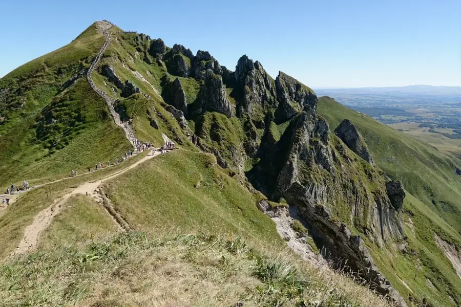
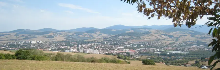
Puy de Sancy is the highest peak in the Massif Central of France, reaching an elevation of 1,886 meters. It serves as the summit of the Monts Dore volcanic massif and is the remnant of an ancient stratovolcano that was active between one million and 220,000 years ago. Its current rugged silhouette, featuring sharp ridges and steep cliffs, was primarily sculpted by glacial erosion during the Quaternary period, which carved out spectacular valleys like the Cirque de la Fontaine Salée. The summit gives a commanding 360-degree view of the volcanic landscape of Auvergne and can even provide glimpses of the distant Alps on clear days. Hydrologically, the mountain is significant as the birthplace of the Dordogne River, formed by the union of the Dore and Dogne streams on its slopes. The area is a major destination for outdoor enthusiasts, hosting popular ski resorts such as Super-Besse and Le Mont-Dore, while its high-altitude meadows support rare alpine plant species and chamois populations.
- Location: Auvergne-Rhône-Alpes, France
- Top sights: Puy de Sancy · Aiguilles du diable (orgues) · Puy Redon
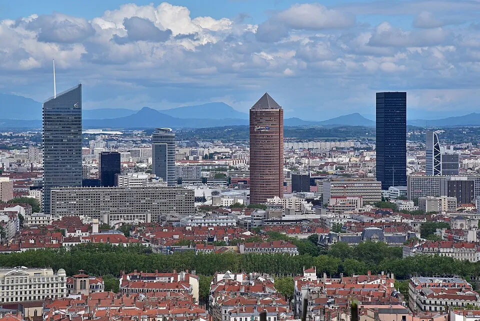
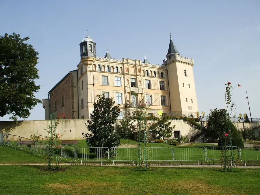
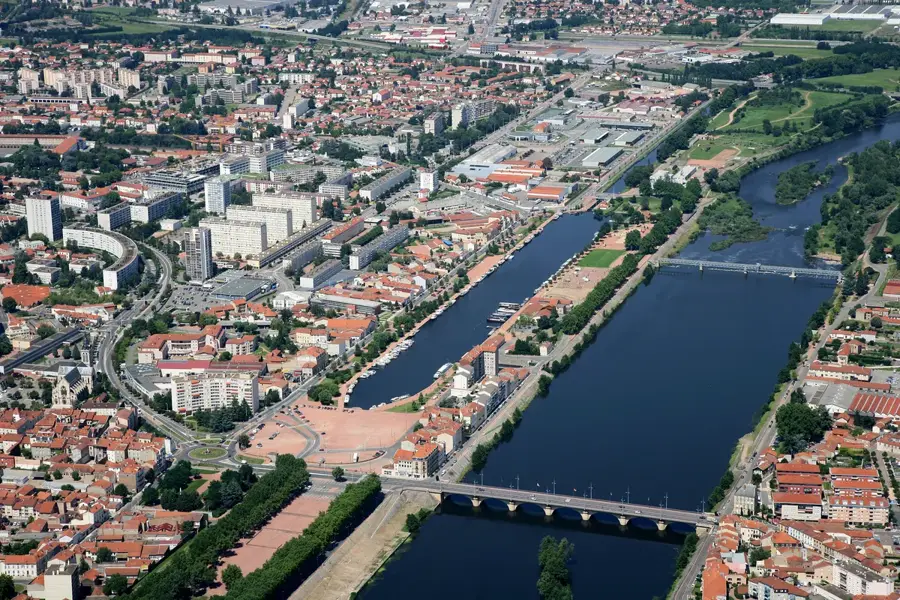
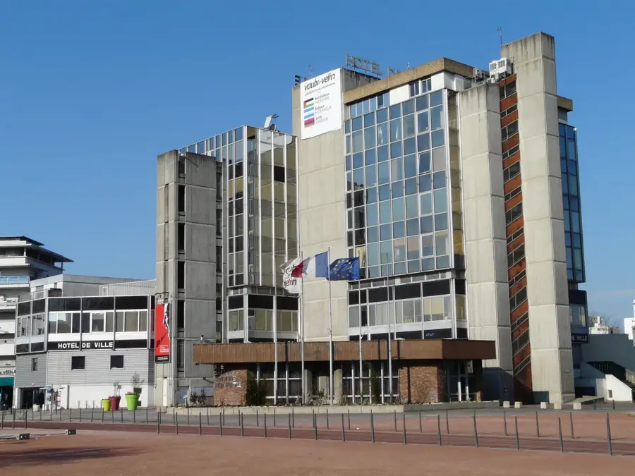
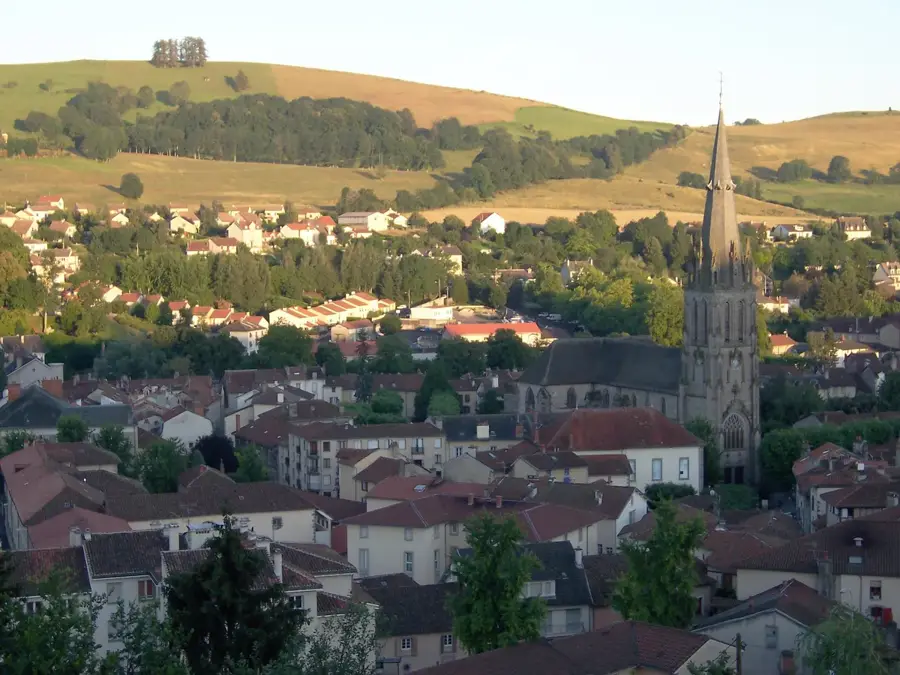
- Nearby: Mont-Dore (5 km)
Best time to visit & climate
The most pleasant time to visit is Jun–Aug.
| Jan | Feb | Mar | Apr | May | Jun | Jul | Aug | Sep | Oct | Nov | Dec | |
|---|---|---|---|---|---|---|---|---|---|---|---|---|
| Avg °C | 0 | 1 | 4 | 8 | 11 | 16 | 18 | 18 | 14 | 10 | 5 | 1 |
| Rain mm | 50 | 38 | 50 | 67 | 83 | 72 | 68 | 72 | 61 | 70 | 69 | 55 |
📋 Practical info
Geography
Facts
- The peak stands at 1,886 meters, the summit of the Massif Central.
- The last volcanic eruption occurred roughly 220,000 years ago.
- The mountain creates a natural divide between the Atlantic and Mediterranean.
- A network of 864 wooden steps leads hikers to the very top.
- The Cirque de Chaudefour on its side is a renowned nature reserve.
- It is part of the Regional Natural Park of the Volcanoes of Auvergne.
Explore nearby
Notable places around
Route planner — Car & Motorhome
Where do you start? We build the route here, with stops and country notes along the way.
© OpenStreetMap contributors · OpenRouteService
Sights in the town Puy de Sancy (8)
Puy Redon
Mountain in France, part of the Sancy massif.
Puy Ferrand
Mountain in France, view over the Monts Dore.
Puy de Cliergue
Mountain in France, viewpoint in the Sancy area.
Réserve naturelle de Chastreix-Sancy
Nature reserve in the Sancy massif, alpine flora and fauna.
Buron du Roc de Tuile (Rne.)
Ruins of a traditional stone shepherd's hut in the Sancy.
Réserve naturelle de la vallée de Chaudefour
Protected area in France, a glacially carved valley.
Sights nearby
Frequently asked questions
Is Mont Sancy a volcano?
Is there a cable car to the summit?
How high is the mountain?
Can you go skiing there?
Which rivers originate here?
Puy de Sancy: where is it located?
Puy de Sancy: what is there to see?
Puy de Sancy: when is the best time to visit?
Puy de Sancy: why is it worth visiting?

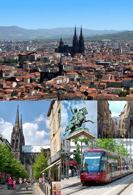
Nearby cities