Plizio Visual Lab
Massif Central
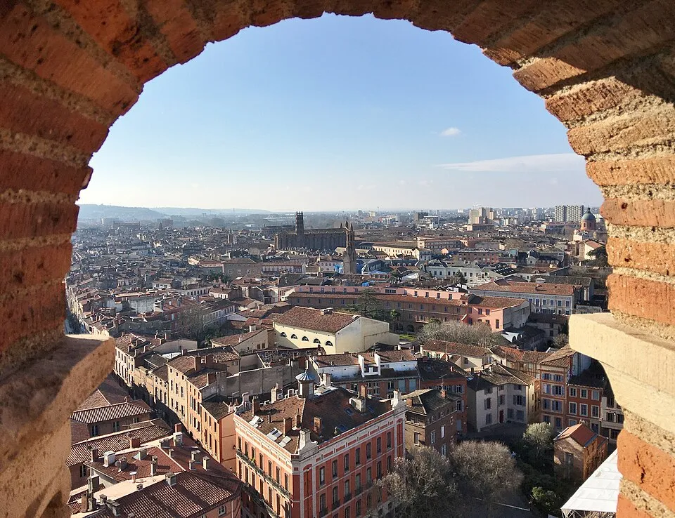
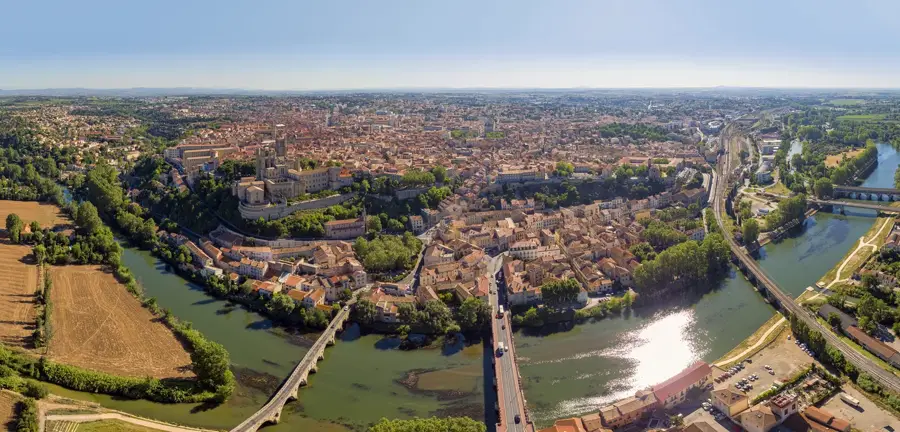
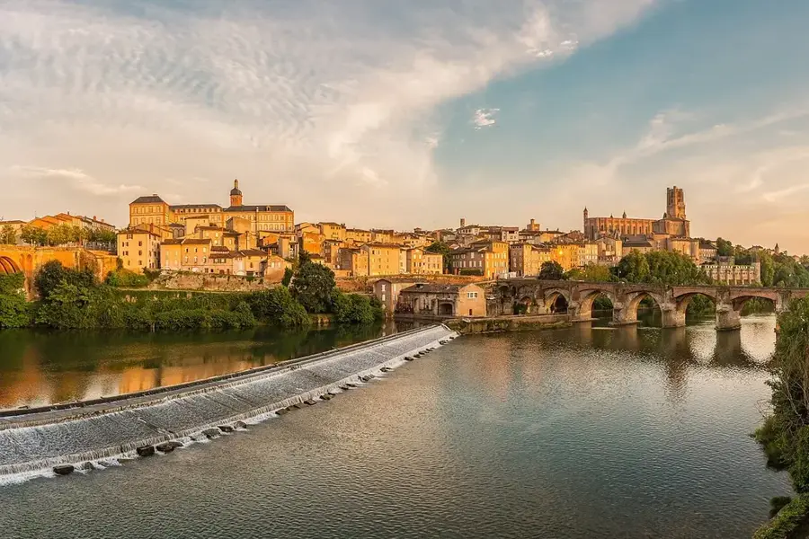
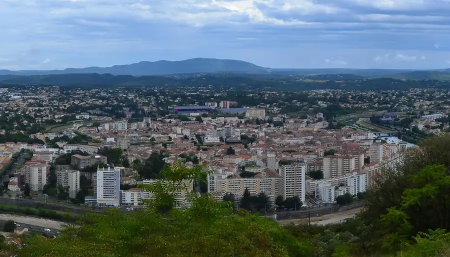
The Massif Central is a vast upland region in central-southern France, covering approximately one-sixth of the country's total land area. Spanning about 85,000 square kilometers, it is the third-largest mountainous area in France and is characterized by a complex geological history. While primarily composed of granite and metamorphic rocks, the massif is most famous for its extinct volcanic formations in the Auvergne region, shaped millions of years ago. The highest point is the Puy de Sancy, reaching an elevation of 1,885 meters in the Monts Dore range. The region is relatively sparsely populated and defined by wide plateaus, deep river valleys, and dormant volcanic cones, offering a rugged and diverse landscape. Economically, livestock farming, particularly cattle, and nature-based tourism are vital to the local communities. The Massif Central also serves as the headwaters for several major French rivers, including the Loire, Allier, and Dordogne, making it an essential water reservoir for the nation.
- Location: Occitanie, France
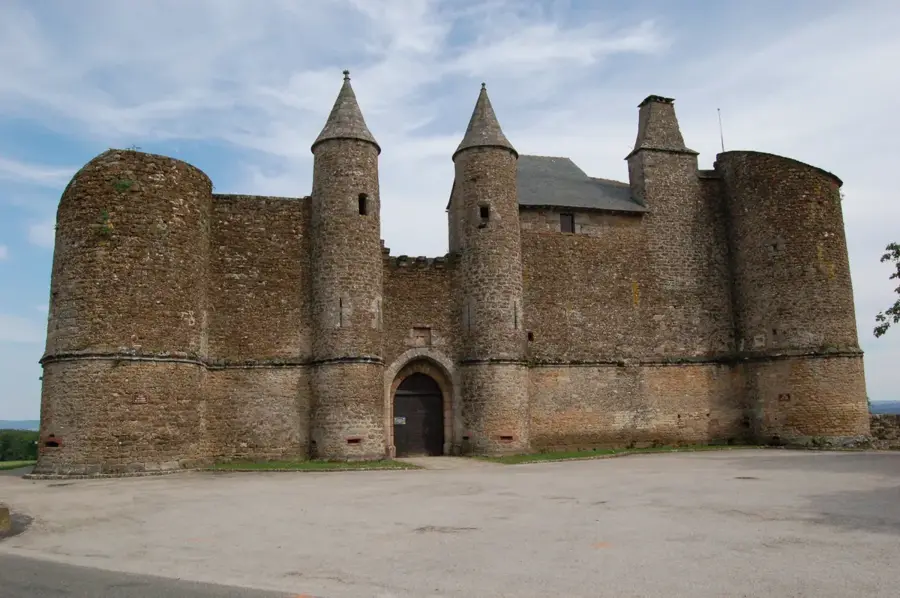
- Top sights: Château des Ternes · Église Saint-Martin · Grand dolmen de La Table au Loup ou Table de Maleu
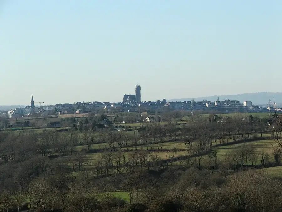
- Nearby: Saint-Flour (8 km)
Best time to visit & climate
The most pleasant time to visit is Jun–Aug.
| Jan | Feb | Mar | Apr | May | Jun | Jul | Aug | Sep | Oct | Nov | Dec | |
|---|---|---|---|---|---|---|---|---|---|---|---|---|
| Avg °C | 0 | 0 | 3 | 7 | 11 | 15 | 17 | 17 | 13 | 9 | 4 | 1 |
| Rain mm | 59 | 45 | 58 | 76 | 87 | 71 | 62 | 71 | 66 | 82 | 82 | 64 |
📋 Practical info
Geography
Facts
- The Massif Central covers about 85,000 square kilometers.
- The highest peak is the Puy de Sancy at 1,885 meters.
- The massif began forming during the Carboniferous period, 300 million years ago.
- It contains the Chaîne des Puys, a chain of 80 dormant volcanoes.
- Major rivers such as the Loire originate in this massif.
- It accounts for approximately 15% of France's total land area.
Explore nearby
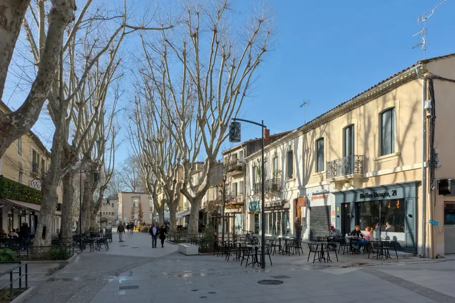
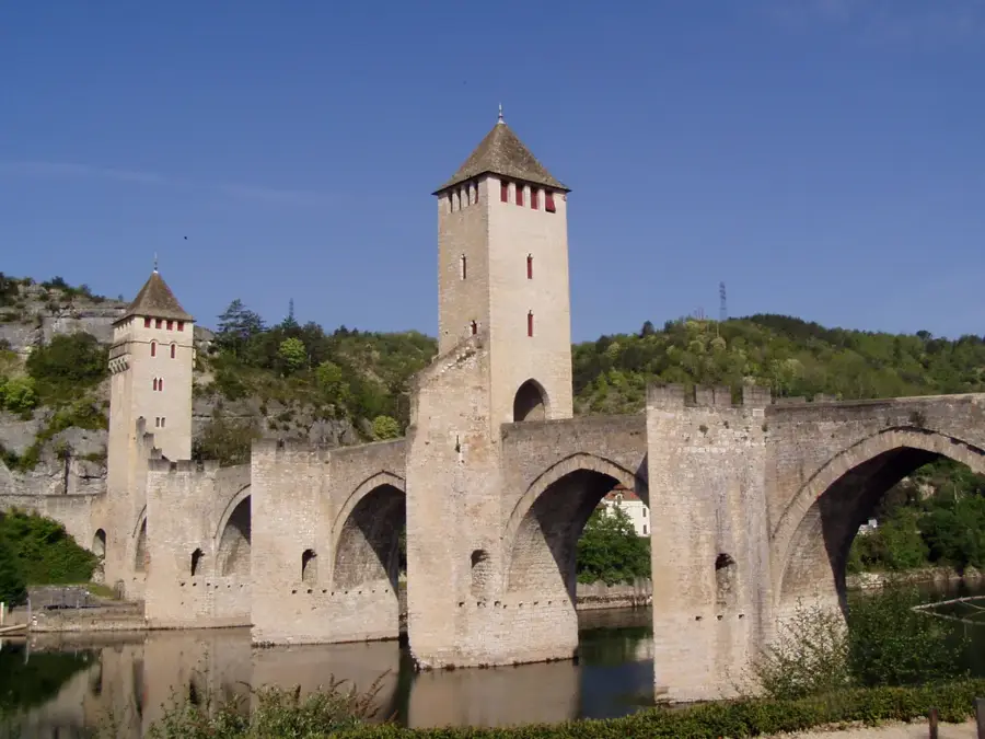
Notable places around
Route planner — Car & Motorhome
Where do you start? We build the route here, with stops and country notes along the way.
© OpenStreetMap contributors · OpenRouteService
Sights in the town Massif Central (7)
Menhir de la Pierre Plantade
Standing menhir, prehistoric stone in the landscape.
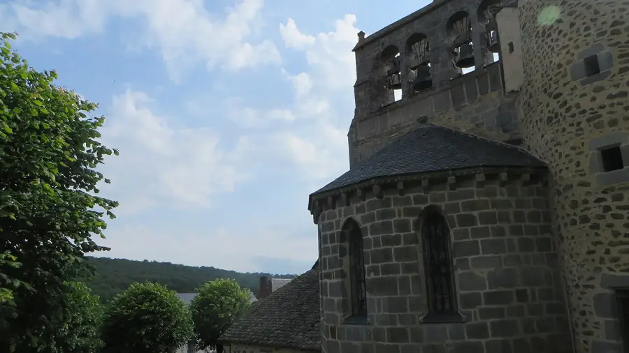
Église Sainte-Foy
Church in the Cantal department, France, dedicated to Saint Faith.
Tour d'observation panoramique
Observation tower with panoramic views over the Massif Central.
Sights nearby
Frequently asked questions
What characterizes the Massif Central?
Which is the highest point of the massif?
Can you go skiing in the Massif Central?
What culinary specialties are found here?
Is the Massif Central a UNESCO World Heritage site?
Massif Central: where is it located?
Massif Central: what is there to see?
Massif Central: when is the best time to visit?
Massif Central: why is it worth visiting?

Nearby cities