Plizio Visual Lab
Jubba Valley Basin
Weather…
Water temperature…
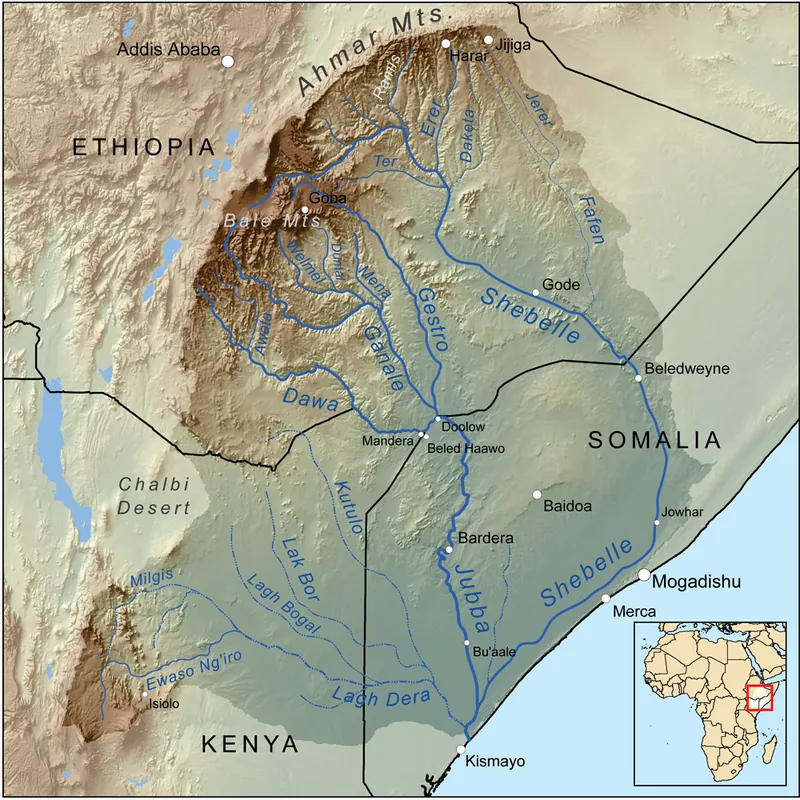
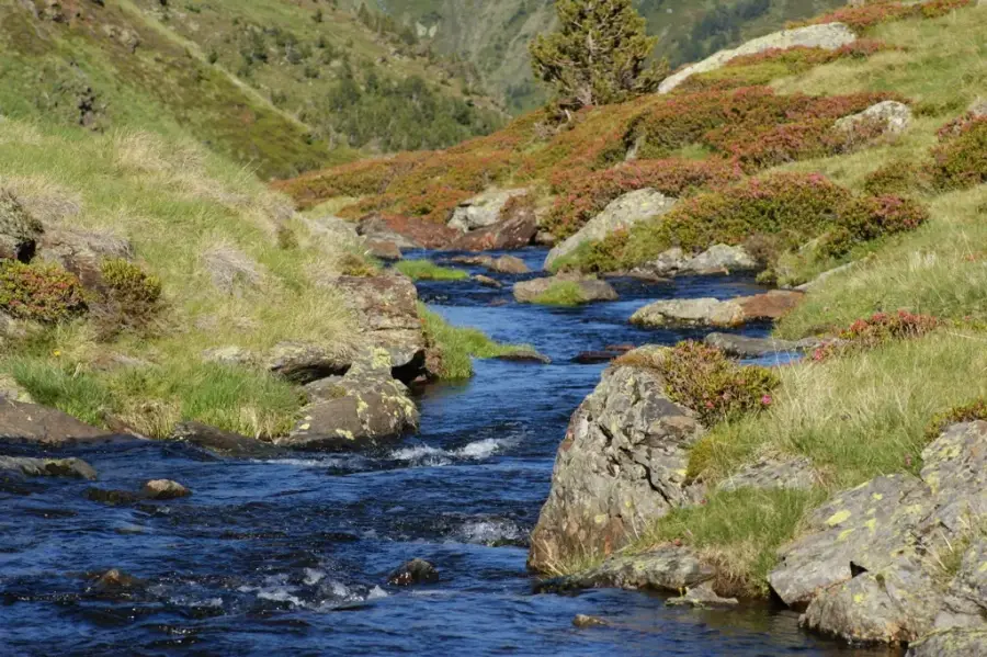
The Jubba Valley Basin in southern Somalia is the country's most fertile agricultural region, stretching along the Jubba River from the Ethiopian border to the Indian Ocean. The river is Somalia's most consistent perennial waterway, enabling year-round crop cultivation in an otherwise semi-arid environment. The valley's alluvial soils are handy for growing bananas, sugarcane, maize, and various fruits, earning the region the reputation of being Somalia's 'breadbasket.' Geographically, the valley is characterized by flat floodplains that undergo periodic flooding during the rainy seasons, which renews soil fertility through silt deposits. Dense gallery forests along the riverbanks provide habitats for diverse wildlife, including hippos, crocodiles, and numerous rare bird species. Culturally, the Jubba Valley is a melting pot of various ethnic groups, including the Somali Bantu people, who traditionally engage in sedentary farming. In recent decades, the region has been a focal point for land-use disputes and civil conflict, which significantly hindered its agricultural output potential.
- Location: Somalia
- Nearby: Bu'aale (34 km)
Best time to visit & climate
The most pleasant time to visit is Jun–Aug.
| Jan | Feb | Mar | Apr | May | Jun | Jul | Aug | Sep | Oct | Nov | Dec | |
|---|---|---|---|---|---|---|---|---|---|---|---|---|
| Avg °C | 30 | 31 | 31 | 29 | 27 | 27 | 27 | 27 | 29 | 29 | 28 | 28 |
| Rain mm | 7 | 2 | 24 | 154 | 78 | 33 | 14 | 18 | 16 | 114 | 145 | 43 |
📋 Practical info
Geography
Facts
- The Jubba River flows for a total length of approximately 1,808 kilometers.
- The Jubba Valley historically produced over 80% of Somalia's banana exports.
- The region receives between 400 and 600 mm of rain during the Gu season.
- Kismayo, at the valley's mouth, serves as the region's major export port.
- The Somali Bantu are the largest non-Somali ethnic minority group in the valley.
- A major 'flood of the century' occurred in 1997, devastating the valley's infrastructure.
Explore nearby
Notable places around
Route planner — Car & Motorhome
Where do you start? We build the route here, with stops and country notes along the way.
© OpenStreetMap contributors · OpenRouteService
Sights nearby
Frequently asked questions
Is the Jubba valley visitable?
What characterizes the landscape of the valley?
Is there infrastructure there?
Is the area agriculturally significant?
Are there hiking trails there?
Jubba Valley Basin: where is it located?
Jubba Valley Basin: when is the best time to visit?
Jubba Valley Basin: why is it worth visiting?

Nearby cities


Nature
More places