Plizio Visual Lab
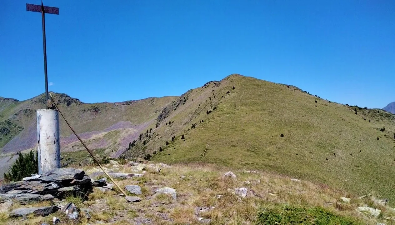
Pic de Font Blanca
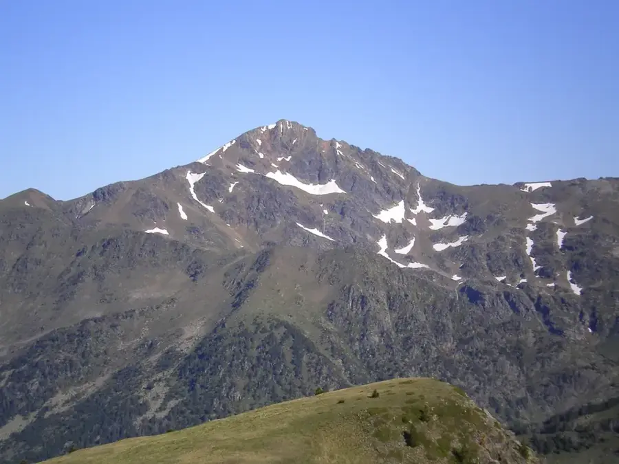
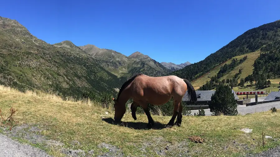
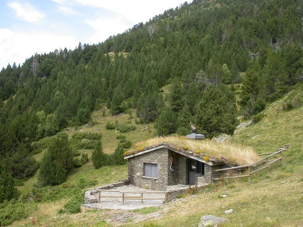
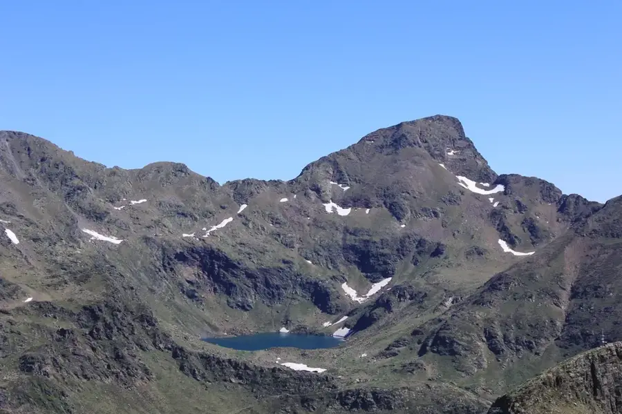
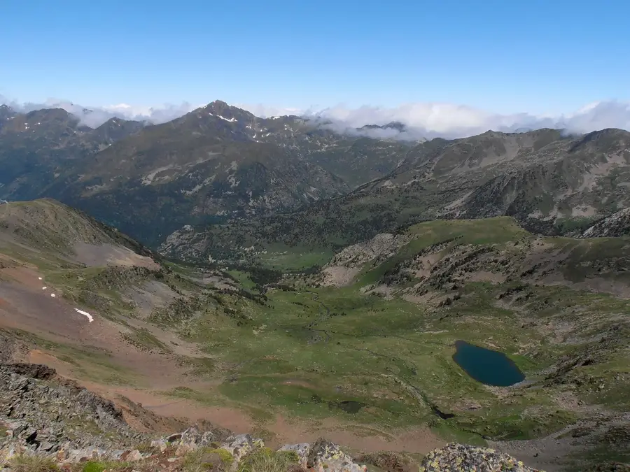
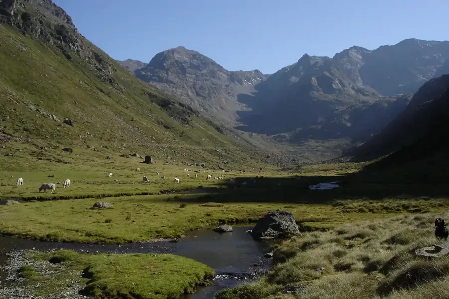
Pic de Font Blanca, also known as Pic de Rialb, is a prominent mountain peak rising to an altitude of 2,903 meters. It is situated on the border between the Ordino parish in Andorra and the Ariège department in France. The mountain is renowned for its imposing pyramid shape and its steep, rocky ridges, particularly the Rialb ridge. Its geological structure is dominated by mica-schists and gneiss, typical of the axial Pyrenean zone. The peak is a classic destination for mountaineers, especially during the winter and spring for ski touring, due to its consistent snow cover and challenging slopes. From the summit, one can enjoy expansive views of the Arcalís ski area and the surrounding French and Andorran valleys. The high-altitude environment supports resilient flora such as alpine clover and various moss species. Its location makes it a strategic point for observing trans-border weather patterns and high-mountain ecology. It remains one of the most respected summits for its technical difficulty and natural beauty.
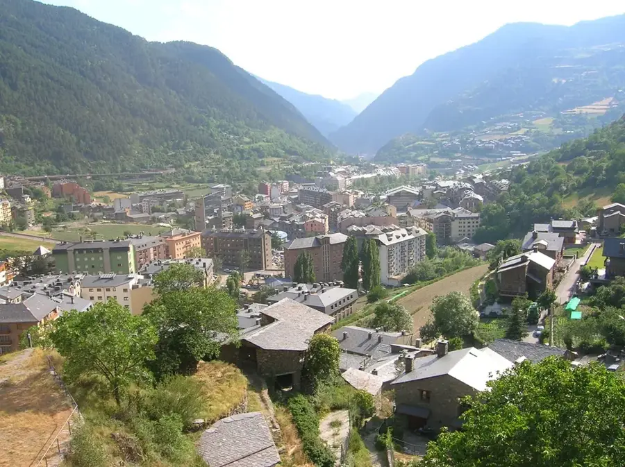
- Location: Andorra
- Top sights: Pic de la Font Blanca · Pic de Besalí · Pic des Fangasses
- Nearby: Riu de Tristaina (4 km)
Best time to visit & climate
The most pleasant time to visit is Jun–Aug.
| Jan | Feb | Mar | Apr | May | Jun | Jul | Aug | Sep | Oct | Nov | Dec | |
|---|---|---|---|---|---|---|---|---|---|---|---|---|
| Avg °C | -2 | -2 | 1 | 5 | 9 | 14 | 16 | 16 | 12 | 8 | 2 | -1 |
| Rain mm | 60 | 48 | 57 | 71 | 77 | 52 | 46 | 47 | 50 | 64 | 70 | 49 |
📋 Practical info
Geography
Facts
- Summit elevation reaches 2,903 meters.
- Situated on the border between Andorra and France.
- Accessible from the Arcalís area in the Ordino parish.
- Features a steep rocky ridge known as the Rialb ridge.
- Geological composition is mainly mica-schist and gneiss.
- One of the classic summits for ski mountaineering in winter.
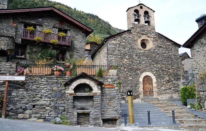
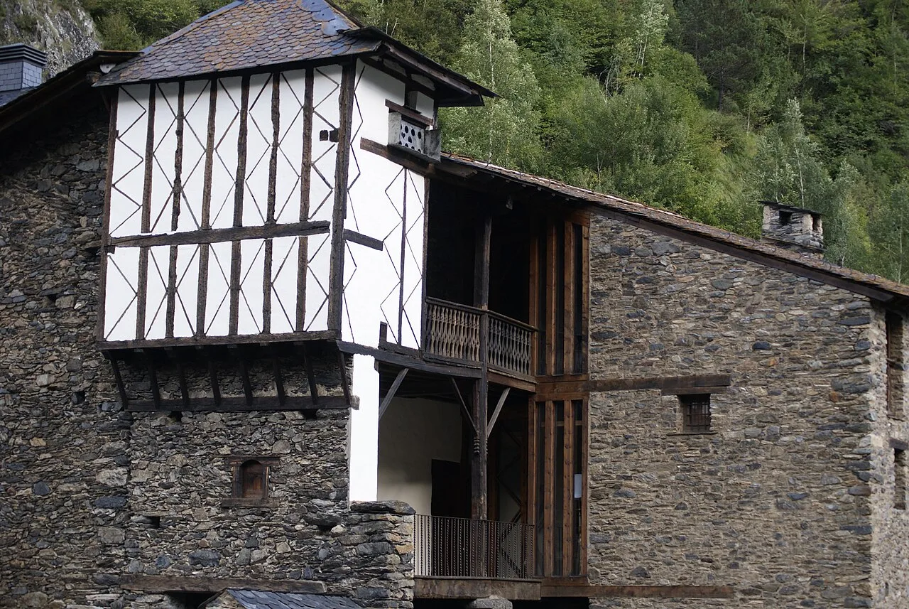
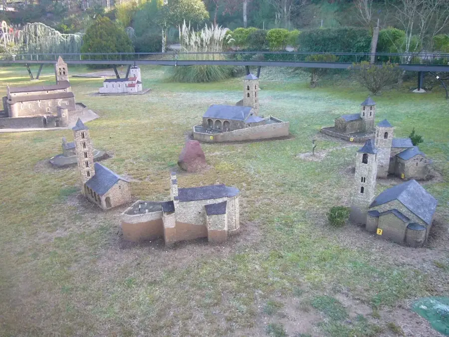
Explore nearby
Notable places around
Route planner — Car & Motorhome
Where do you start? We build the route here, with stops and country notes along the way.
© OpenStreetMap contributors · OpenRouteService
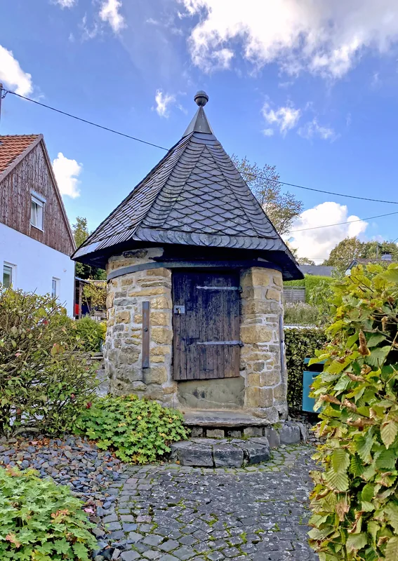
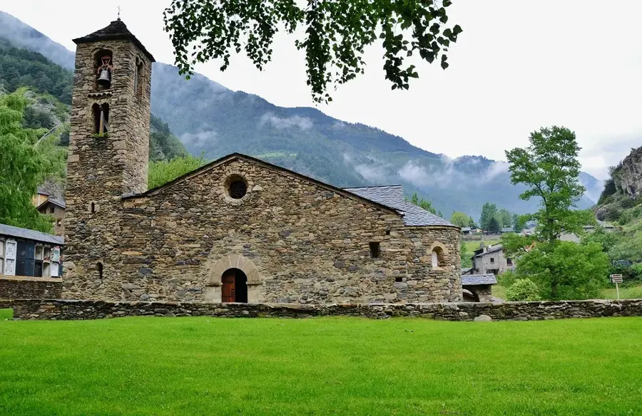
Sights in the town Pic de Font Blanca (3)
Pic des Fangasses
Mountain on the border between France and Andorra, in the Pyrenees.
Sights nearby
Frequently asked questions
What height does Pic de Font Blanca reach?
Where is the best place to climb it from?
Is the trail marked?
How long does the entire hike take?
What is the best season?
Pic de Font Blanca: where is it located?
Pic de Font Blanca: what is there to see?
Pic de Font Blanca: when is the best time to visit?
Pic de Font Blanca: why is it worth visiting?

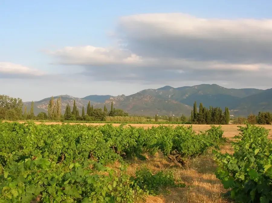
Nature
More places