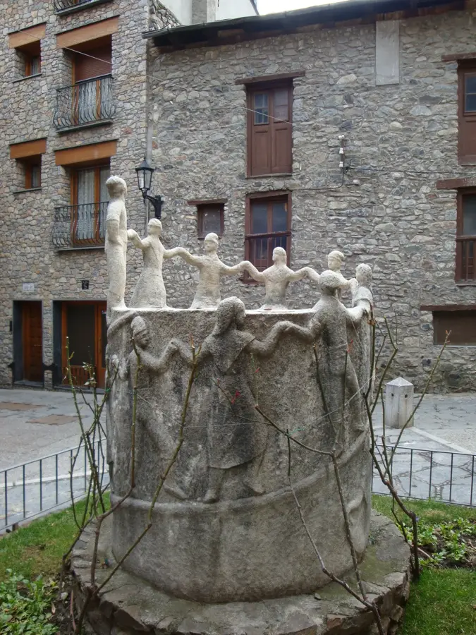
Macarulla
Macarulla is an attraction in Andorra. Its exact type is not specified.
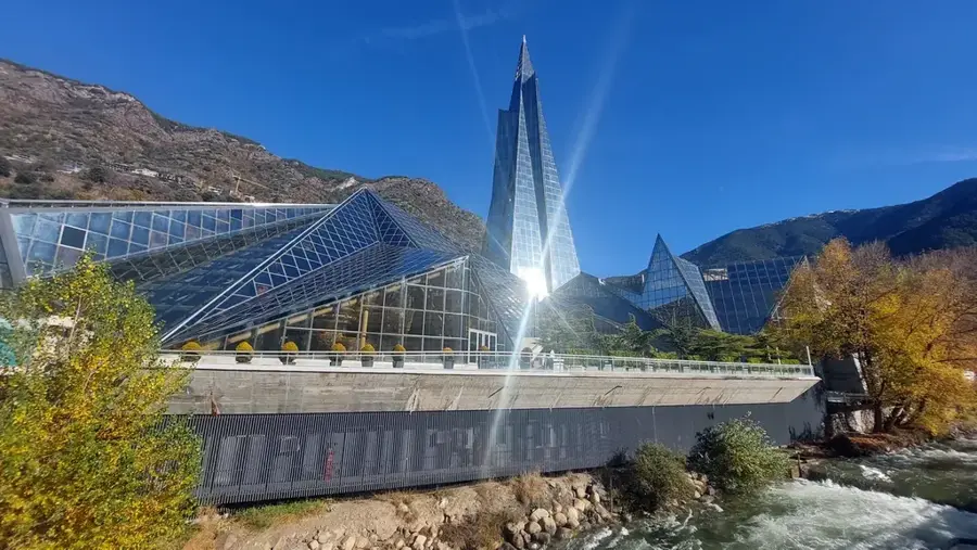
Plizio Visual Lab
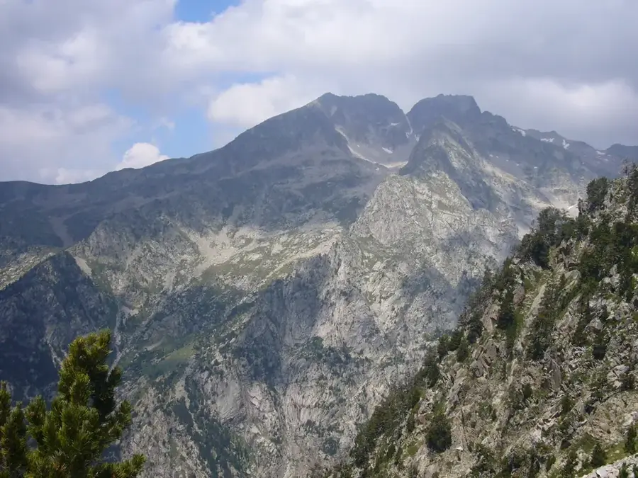
The Pic de Comaloforno is the highest peak of the Besiberri massif in the Catalan Pyrenees, reaching an altitude of 3,029 meters and located near the border with Andorra. Although not geographically within Andorran territory, it significantly shapes the high mountain landscape of the broader region. The mountain is composed of massive granite rock, formed by tectonic uplifts during the Cenozoic era. Its northern flank exhibits remnants of periglacial features, pointing to the former presence of glacial flows. The ascent requires substantial alpine experience and surefootedness, as paths often traverse boulder fields and steep ridges. The massif is vital for regional hydrology, feeding the headwaters of the Noguera Ribagorçana basin. Culturally, the mountain is deeply connected to the history of Pyrenean mountaineering and serves as a key reference point for the catalog of 3,000-meter peaks.
The most pleasant time to visit is Jun–Aug.
| Jan | Feb | Mar | Apr | May | Jun | Jul | Aug | Sep | Oct | Nov | Dec | |
|---|---|---|---|---|---|---|---|---|---|---|---|---|
| Avg °C | -2 | -2 | 1 | 5 | 9 | 14 | 16 | 16 | 12 | 8 | 2 | -1 |
| Rain mm | 60 | 48 | 57 | 71 | 77 | 52 | 46 | 47 | 50 | 64 | 70 | 49 |
Notable places around
Where do you start? We build the route here, with stops and country notes along the way.
© OpenStreetMap contributors · OpenRouteService
Macarulla is an attraction in Andorra. Its exact type is not specified.
Roc de la Cacarulla is a mountain in Andorra, located in the parish of La Massana.
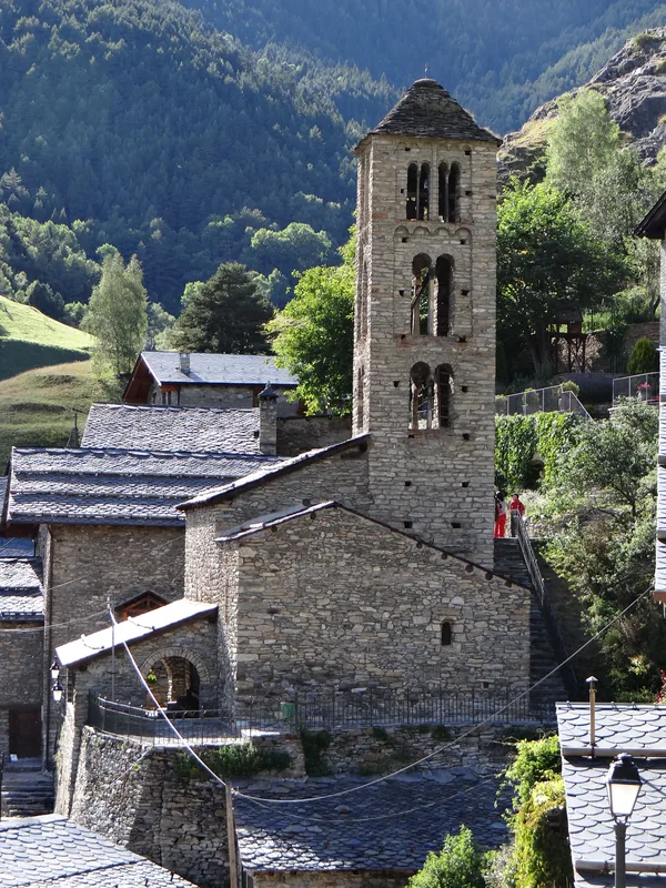
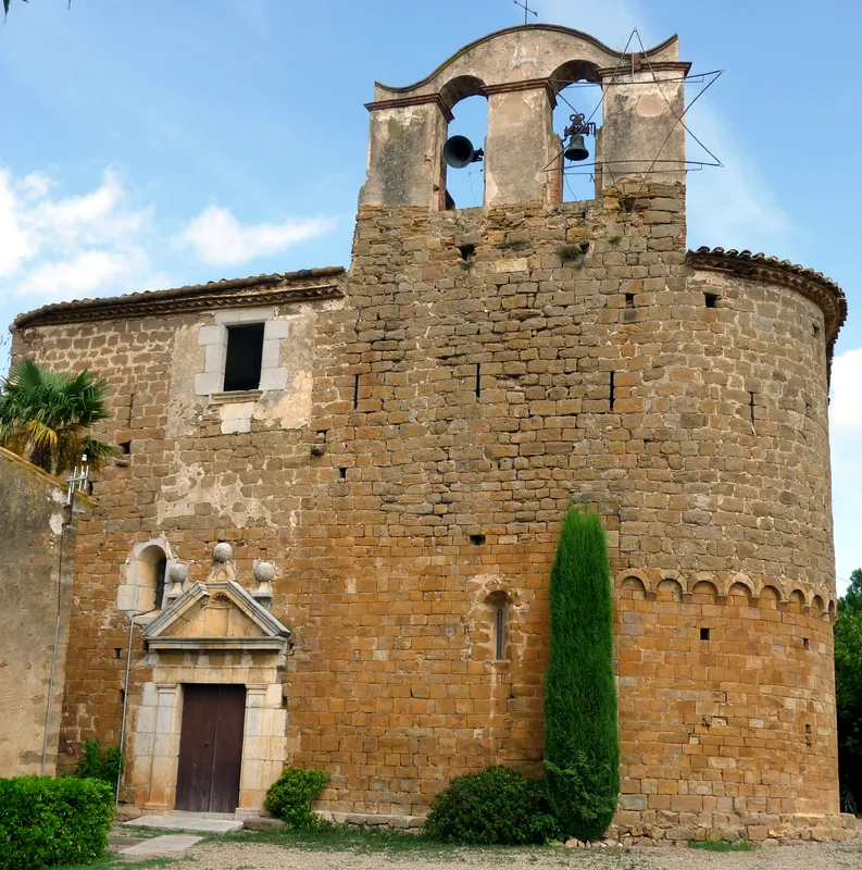
Sant Climent is a church building in La Massana, Andorra.
Museu Casa Rull is a historic house in La Massana, Andorra. It displays life in past times.
Sant Joan de Sispony is a place of worship in Sispony, Andorra. It is part of La Massana.
Sant Iscle i Santa Victòria is a church building in La Massana, Andorra.
Comics Museum is an arts centre in Andorra. It is dedicated to comic art.
Pic Carroi is a mountain in Andorra, located in the parish of La Massana.
Les Fontetes is a theatre in Andorra. It serves as a performance venue.
Font del Bisbe is a spring in La Massana, Andorra.