Plizio Visual Lab
Jilib

ℹ️Practical info — Jilib
▾
🌤 Weather — 5 days
📍 Nearby
Sights nearby
💡 Tips
- The security situation can be extremely volatile; strictly check current travel advisories before planning a visit.
- The town is an agricultural hub; visiting the surrounding farms shows the true nature of the region.
- Conservative Islamic dress codes are strictly enforced and mandatory for all visitors.
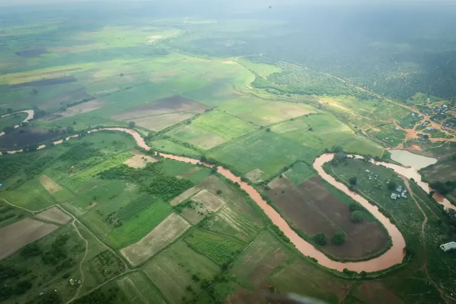
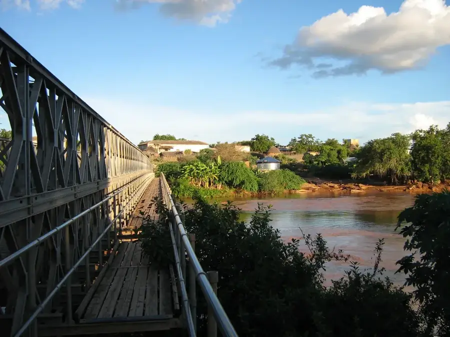
- The Jubba River gives beautiful views, but be highly cautious of crocodiles and hippos on the banks.
🍽 Food
Thanks to the fertile Jubba valley, this area produces Somalia's best bananas, mangoes, and papayas.
Caught fresh from the Jubba River, usually grilled and rubbed with spicy local seasonings.
A Somali pancake-like flatbread, typically eaten for breakfast with ghee and sugar.
🛍 Shopping · 🧘 Quiet spots
The central markets are the best place to find fresh produce straight from the surrounding Jubba Valley farms.
Walking along the elevated banks (keeping a safe distance from the water) has peaceful natural scenery.
Water temperature…
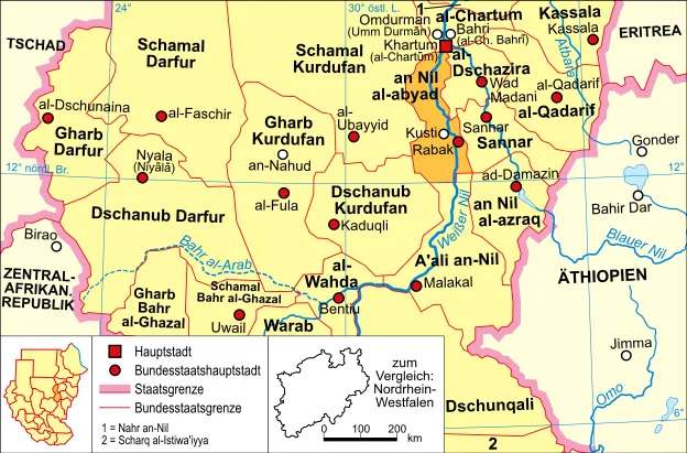
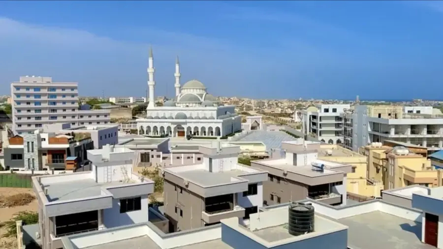
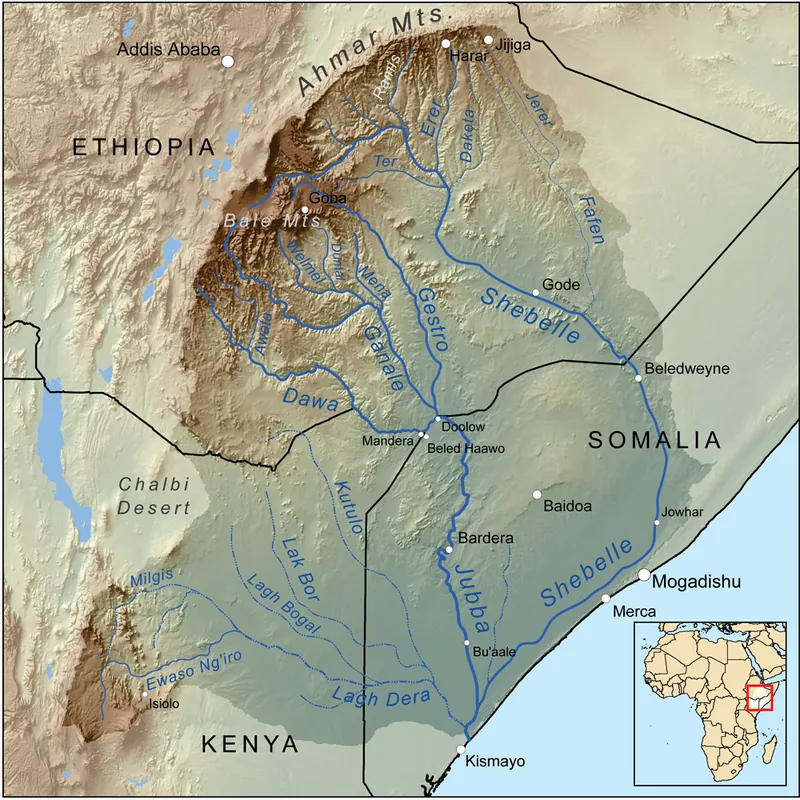
Jilib is a major town in the Middle Juba region of southern Somalia, acting as a vital transportation and agricultural hub. It is strategically located at a major crossroads where the highways connecting Mogadishu, Kismayo, and the inland regions meet. Situated along the lower reaches of the Jubba River, Jilib benefits from some of the most fertile agricultural land in the country. The local economy is driven by large-scale farming, with maize, sorghum, and bananas being the primary crops produced in the surrounding irrigated fields. Throughout recent history, Jilib's strategic position has made it a key objective in various political and military movements aiming to control southern Somalia. Despite the challenges of regional instability, the town serves as a crucial marketplace for rural communities and a center for the distribution of agricultural goods across the southern sector.
- Location: Somalia
- Nearby: Bu'aale (53 km)
- Population: ~43.694 (2012)
Best time to visit & climate
The most pleasant time to visit is Jul–Sep.
| Jan | Feb | Mar | Apr | May | Jun | Jul | Aug | Sep | Oct | Nov | Dec | |
|---|---|---|---|---|---|---|---|---|---|---|---|---|
| Avg °C | 28 | 28 | 29 | 29 | 28 | 27 | 26 | 26 | 27 | 28 | 28 | 28 |
| Rain mm | 7 | 3 | 19 | 156 | 88 | 38 | 17 | 20 | 17 | 90 | 98 | 34 |
Geography
Facts
- Jilib is the most populous city in the Middle Juba administrative region.
- The town is located approximately 110 kilometers north of the port of Kismayo.
- It serves as a critical junction for the Mogadishu-Kismayo highway.
- The area is a primary producer of sesame and maize for the national market.
- Jilib's proximity to the Jubba River facilitates extensive irrigation projects.
- The town has historically been a major center for the Somali livestock trade.
Explore nearby
Notable places around
Route planner — Car & Motorhome
Where do you start? We build the route here, with stops and country notes along the way.
© OpenStreetMap contributors · OpenRouteService
Frequently asked questions
What is the main economic sector in Jilib?
Is Jilib a tourist destination?
What is the climate in the region like?
How is the infrastructure?
What cultural aspects are important?
Jilib: where is it located?
Jilib: when is the best time to visit?
Jilib: why is it worth visiting?

Nearby cities

History & landmarks
Nature
More places