Plizio Visual Lab
Pic de Serra Secca

Weather…
Water temperature…
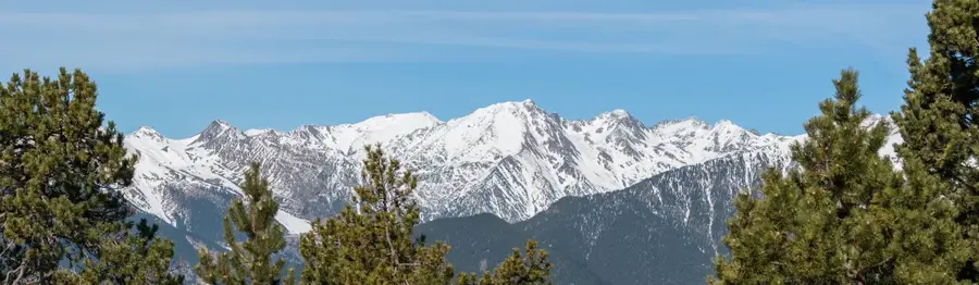
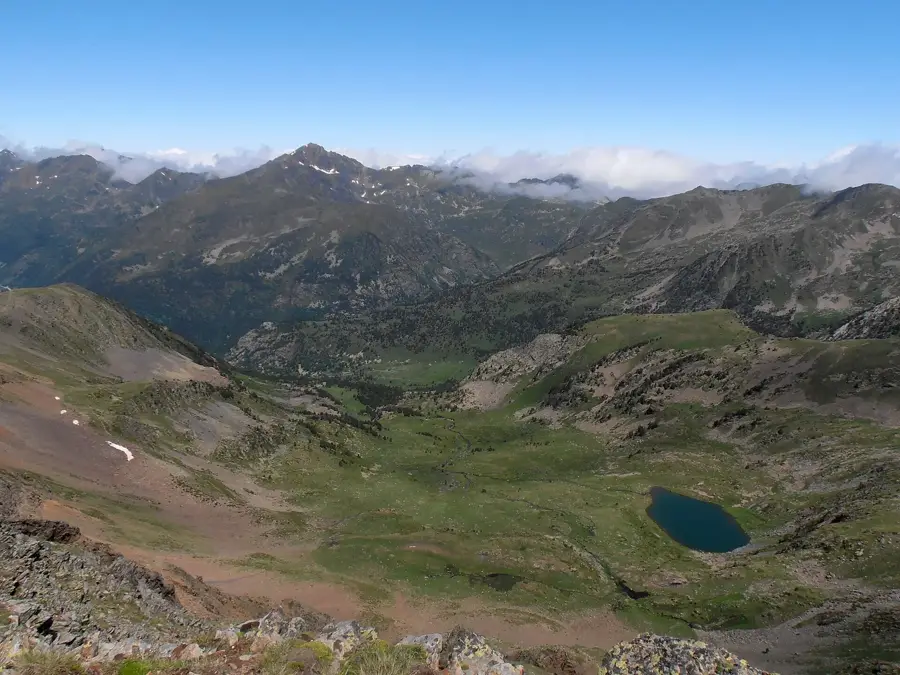
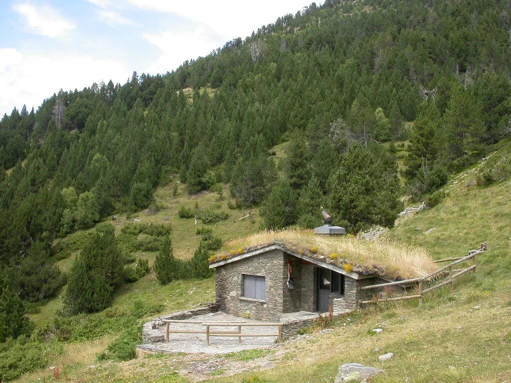
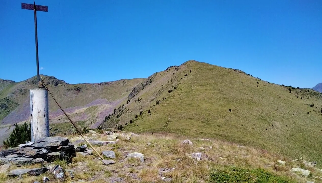
Pic de Serra Secca is a 2,715-meter-high mountain in the heart of the main Andorran Pyrenees ridge. It is located in the parish of Ordino and forms part of the geographical boundary with the Rialb valley. The name 'Serra Secca' (Dry Ridge) refers to its exposed position and its often windswept, snow-scarce ridges. The geology is dominated by siliceous rocks and slate, which results in a dark coloration of the rock faces. The ascent is not extremely technically demanding, but it requires sure-footedness due to the friable nature of the rock. From the top, it features an excellent 360-degree view of the Sorteny Nature Reserve and the French border peaks. The area is an important habitat for the rock ptarmigan and hosts rare lichen species adapted to extreme dryness. The mountain is less frequented than its neighbors, thus offering an authentic and tranquil nature experience.
- Location: Andorra
- Top sights: Font de la Navina · Coll d'Ordino · Bolet gegant
- Nearby: Prats (4 km)
Best time to visit & climate
The most pleasant time to visit is Jun–Aug.
| Jan | Feb | Mar | Apr | May | Jun | Jul | Aug | Sep | Oct | Nov | Dec | |
|---|---|---|---|---|---|---|---|---|---|---|---|---|
| Avg °C | -2 | -2 | 1 | 5 | 9 | 14 | 16 | 16 | 12 | 8 | 2 | -1 |
| Rain mm | 60 | 48 | 57 | 71 | 77 | 52 | 46 | 47 | 50 | 64 | 70 | 49 |
📋 Practical info
Geography
Facts
- Elevation of 2,715 meters
- Located in Ordino parish
- Borders the Rialb valley
- View of Sorteny Nature Reserve
- Name means 'Dry Ridge'
- Composed of siliceous rock
Explore nearby
Notable places around
Route planner — Car & Motorhome
Where do you start? We build the route here, with stops and country notes along the way.
© OpenStreetMap contributors · OpenRouteService
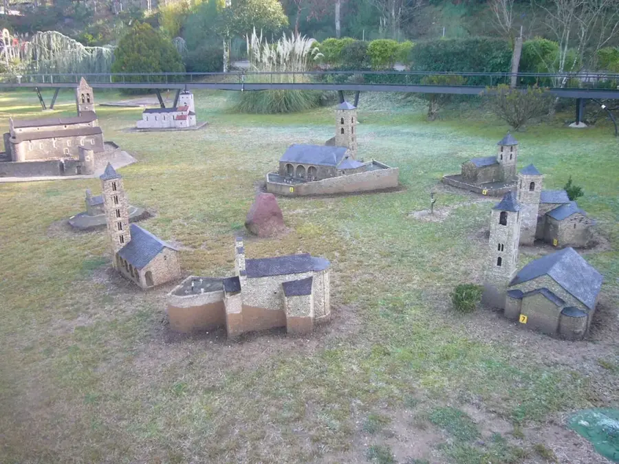
Sights in the town Pic de Serra Secca (10)
Cascada del Riu d'Urina
Waterfall on the Urina river, surrounded by forest and rocks.
Museu Casa d'Areny-Plandolit🏛 museum
Historical mansion in Ordino, Andorra, now a museum.
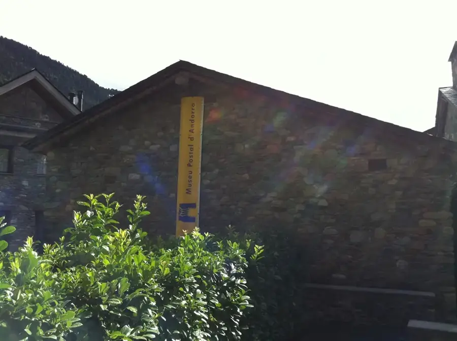
Museu Postal🏛 museum
Postal museum in Andorra, showcasing the history of mail services.
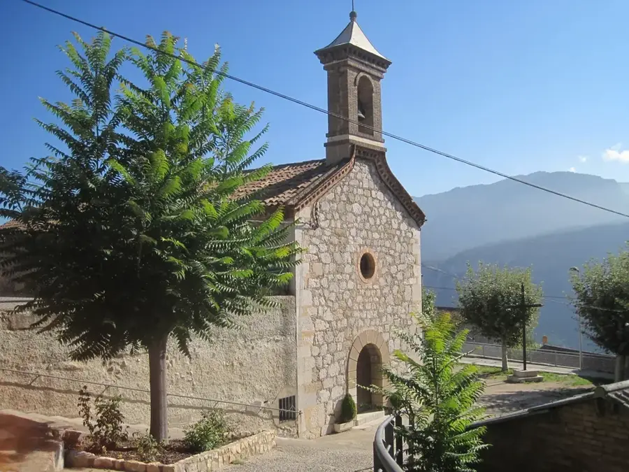
Capella de Casa Rossell⛪ church
Church building in Ordino, Andorra, part of the Casa Rossell estate.
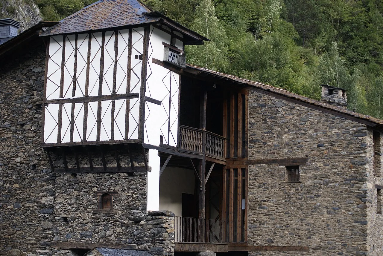
Casa Rossell
Manor house in Ordino, Andorra, with traditional architecture.
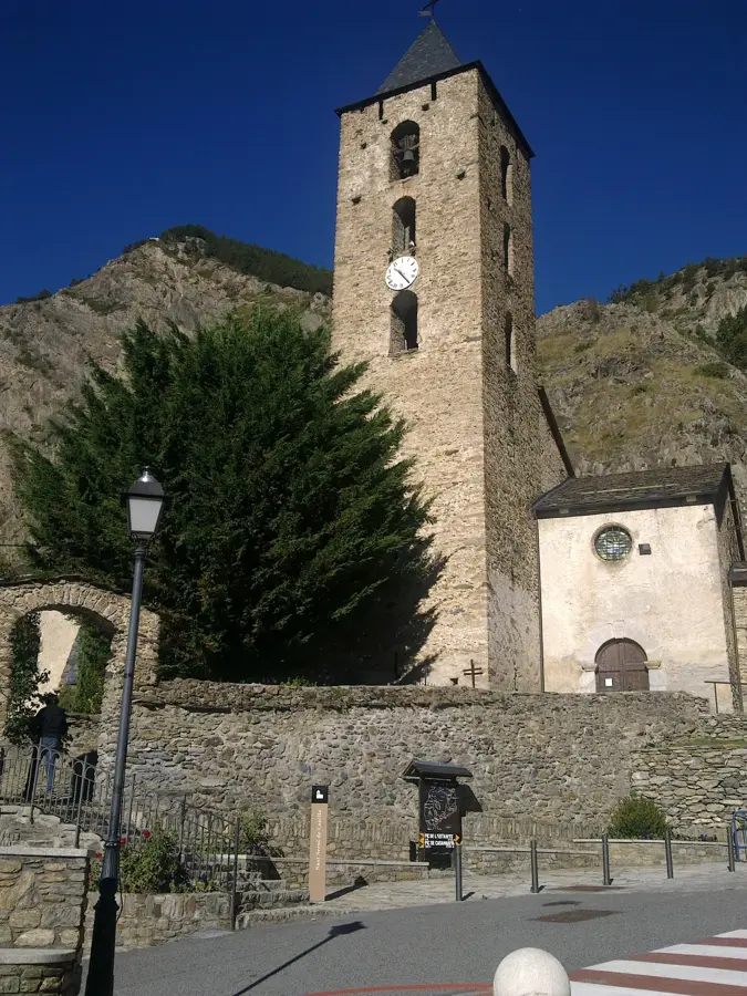
Església de Sant Corneli i Sant Cebrià d'Ordino
Church in Ordino, Andorra, dedicated to Saints Cornelius and Cyprian.
Sights nearby
Frequently asked questions
Where is Pic de Serra Secca located?
How high is this peak?
What does the name 'Serra Secca' mean?
Is the mountain accessible in winter?
How is the view from the summit?
Pic de Serra Secca: where is it located?
Pic de Serra Secca: what is there to see?
Pic de Serra Secca: when is the best time to visit?
Pic de Serra Secca: why is it worth visiting?

History & landmarks
Nature
More places