Plizio Visual Lab
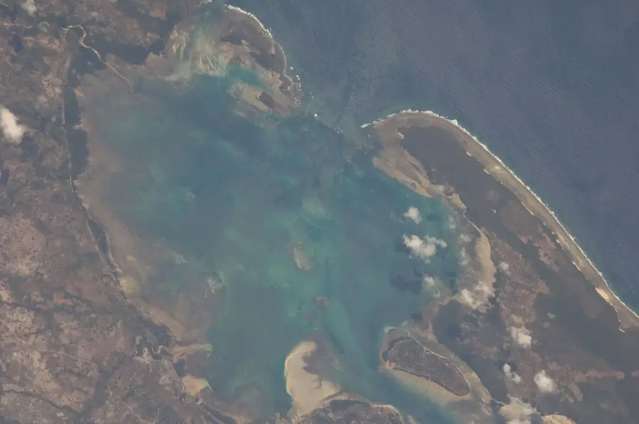
Kismayo Coastal Relief
Weather…
Water temperature…
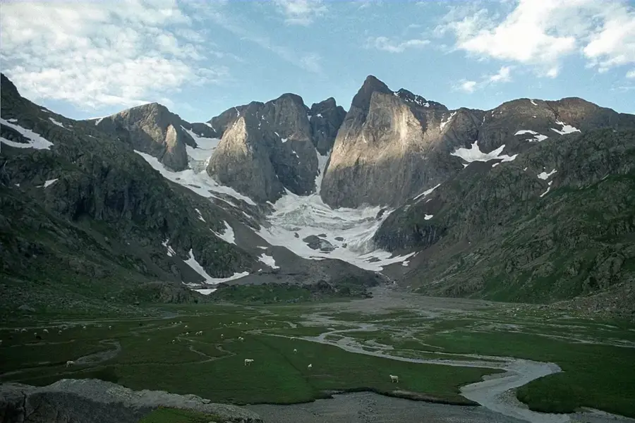
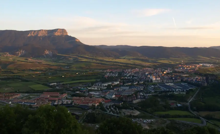
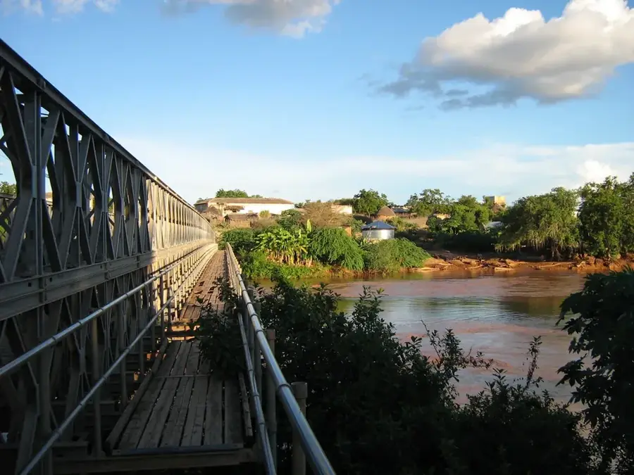
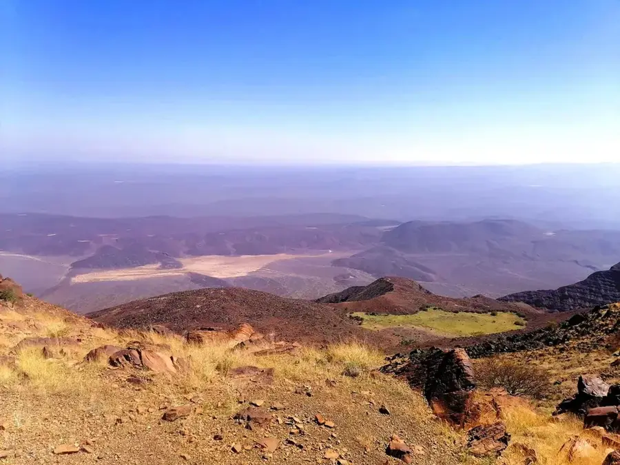
The Kismayo Coastal Relief in southern Somalia represents a geographically complex region defined by the mouth of the Juba River and the adjacent Bajuni Islands. The coastline is characterized by deep natural harbors, pristine white beaches, and extensive mangrove swamps within the river estuaries. Kismayo was established as a strategic port in the 19th century and rapidly evolved into a primary export hub for agricultural goods from the fertile Juba Valley. Geologically, the area features Quaternary coastal sediments and coral limestone formations that provide a resilient barrier against the Indian Ocean's surges. The climate is tropical and humid, with two distinct rainy seasons (Gu and Dayr) supporting much lusher vegetation than the arid north of Somalia. Marine biodiversity in the area is outstanding, with the coral reefs surrounding the Bajuni Islands recognized as some of the richest in East Africa. Despite decades of political instability, the coastal region remains a cornerstone of Somalia's economy due to its maritime significance and the productivity of its agricultural hinterland.
- Location: Somalia
- Nearby: Kismayo (6 km)
Best time to visit & climate
The most pleasant time to visit is Feb, Aug, Sep.
| Jan | Feb | Mar | Apr | May | Jun | Jul | Aug | Sep | Oct | Nov | Dec | |
|---|---|---|---|---|---|---|---|---|---|---|---|---|
| Avg °C | 27 | 27 | 28 | 29 | 28 | 27 | 26 | 26 | 26 | 27 | 28 | 28 |
| Rain mm | 7 | 2 | 15 | 89 | 154 | 84 | 44 | 25 | 18 | 47 | 69 | 35 |
📋 Practical info
Geography
Facts
- Kismayo is located approximately 530 kilometers southwest of Mogadishu.
- The Bajuni Islands form a chain extending nearly 100 kilometers along the coast.
- Kismayo's deep-water port was extensively modernized in the 1960s with US aid.
- The Juba River is the longest river in Somalia, flowing for over 1,800 kilometers.
- The region is the primary producer of Somali bananas for international export.
- Endangered dugongs are still occasionally sighted in the sheltered coastal lagoons.
Explore nearby
Notable places around
Route planner — Car & Motorhome
Where do you start? We build the route here, with stops and country notes along the way.
© OpenStreetMap contributors · OpenRouteService
Sights nearby
Frequently asked questions
What is the terrain like near Kismayo?
Is the terrain suitable for hiking?
Is there shade available?
What is the best time to visit?
Do I need a 4x4 vehicle?
Kismayo Coastal Relief: where is it located?
Kismayo Coastal Relief: when is the best time to visit?
Kismayo Coastal Relief: why is it worth visiting?

Nearby cities

History & landmarks
Nature
More places