Plizio Visual Lab
Coma Pedrosa
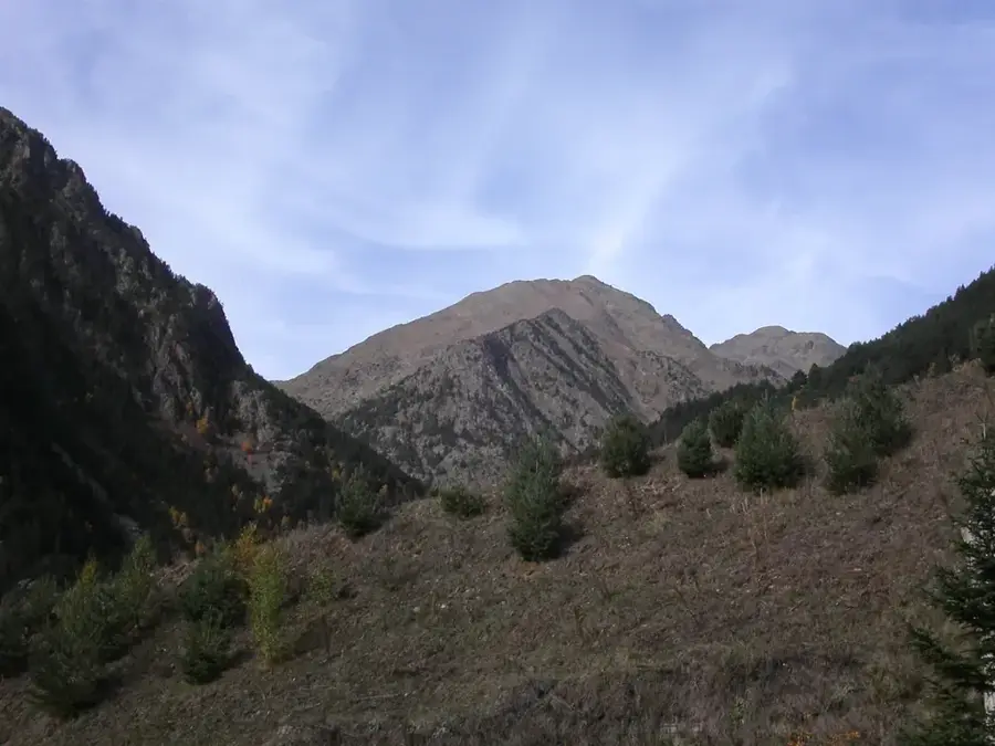
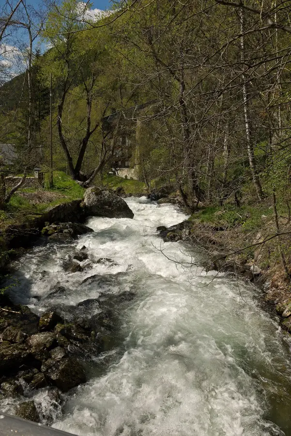
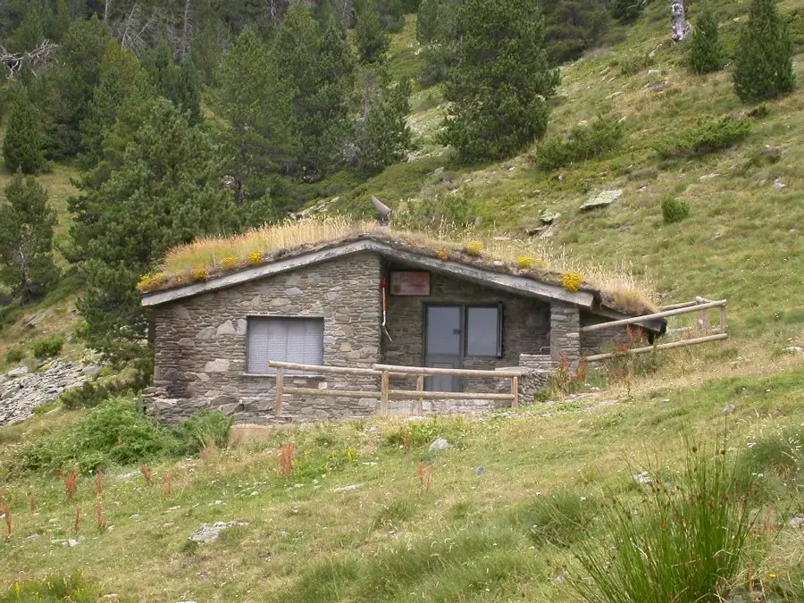
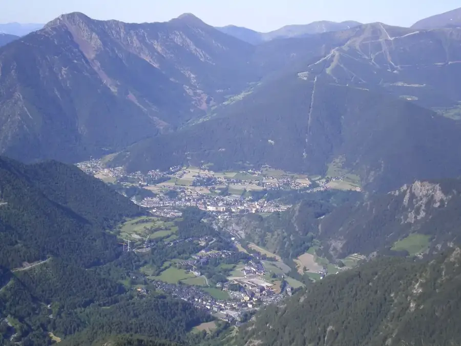
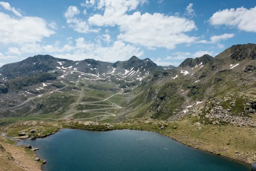
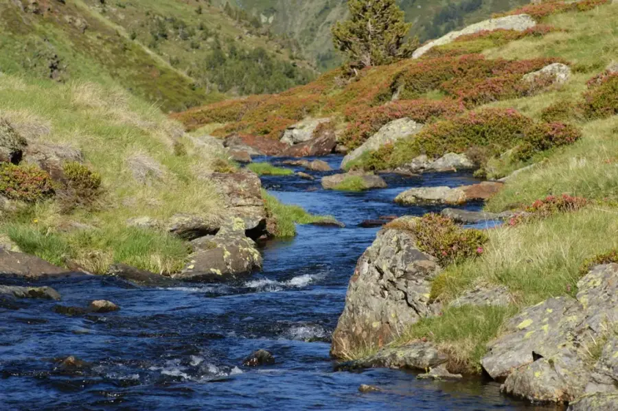
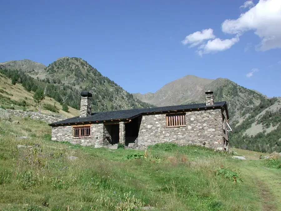
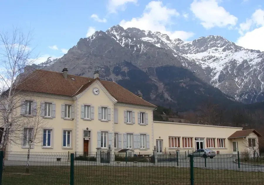
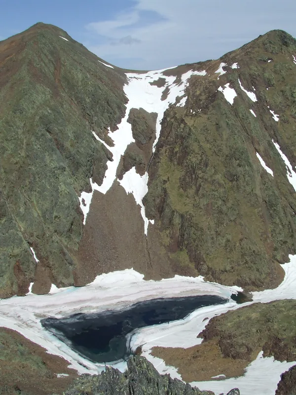
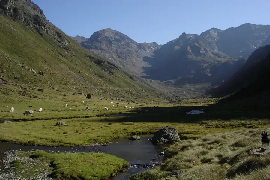
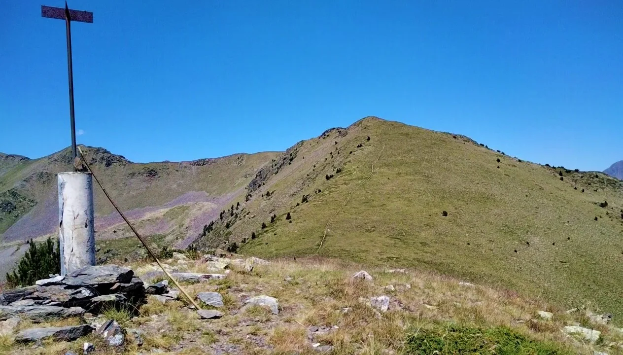
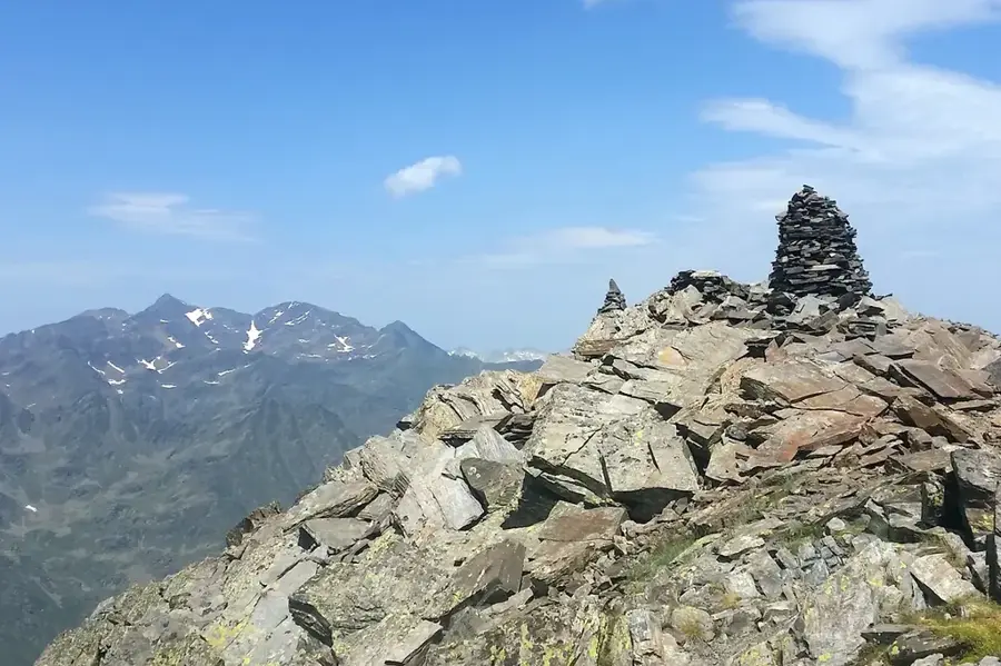
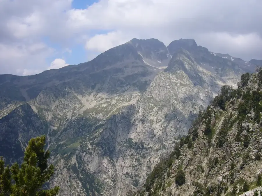
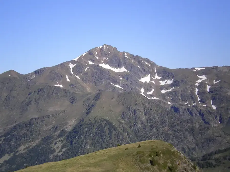
Coma Pedrosa stands as the highest point in Andorra, reaching an impressive 2,942 meters (9,652 ft). Located in the parish of La Massana, its peak is a popular but challenging objective for hikers. The ascent typically starts from the village of Arinsal and winds through the Coma Pedrosa Valleys Natural Park, a protected area of high ecological value. The trail passes by glacial lakes, such as the Estanys de Baiau, and features a chance to see Pyrenean wildlife. From the summit, on a clear day, one is rewarded with a spectacular 360-degree panorama that encompasses much of Andorra and extends into the neighboring Pyrenean peaks of France and Spain. A mountain hut, Refugi del Coma Pedrosa, provides shelter and lodging for mountaineers.
- Location: Andorra
- Top sights: Parc Natural Comunal de les Valls del Comapedrosa · Font de la Coruvilla · Pic de la Pala de Coll Carnisser
Best time to visit & climate
The most pleasant time to visit is Jun–Aug.
| Jan | Feb | Mar | Apr | May | Jun | Jul | Aug | Sep | Oct | Nov | Dec | |
|---|---|---|---|---|---|---|---|---|---|---|---|---|
| Avg °C | -2 | -2 | 1 | 5 | 9 | 14 | 16 | 16 | 12 | 8 | 2 | -1 |
| Rain mm | 60 | 48 | 57 | 71 | 77 | 52 | 46 | 47 | 50 | 64 | 70 | 49 |
📋 Practical info
Geography
Facts
- The ascent takes approximately 4-5 hours.
- Part of the Coma Pedrosa Valleys Natural Park.
- A small refuge hut is located near the summit.
- The name means 'stony valley'.
- Offers panoramic views across the Pyrenees.
Explore nearby
Notable places around
Route planner — Car & Motorhome
Where do you start? We build the route here, with stops and country notes along the way.
© OpenStreetMap contributors · OpenRouteService
Sights in the town Coma Pedrosa (7)
Cap de les Canales de Ribanelles
Mountain in Andorra, near the Comapedrosa massif.
Mirador de la Roca de la Sabina
Viewpoint offering views of the surrounding mountains and valleys.
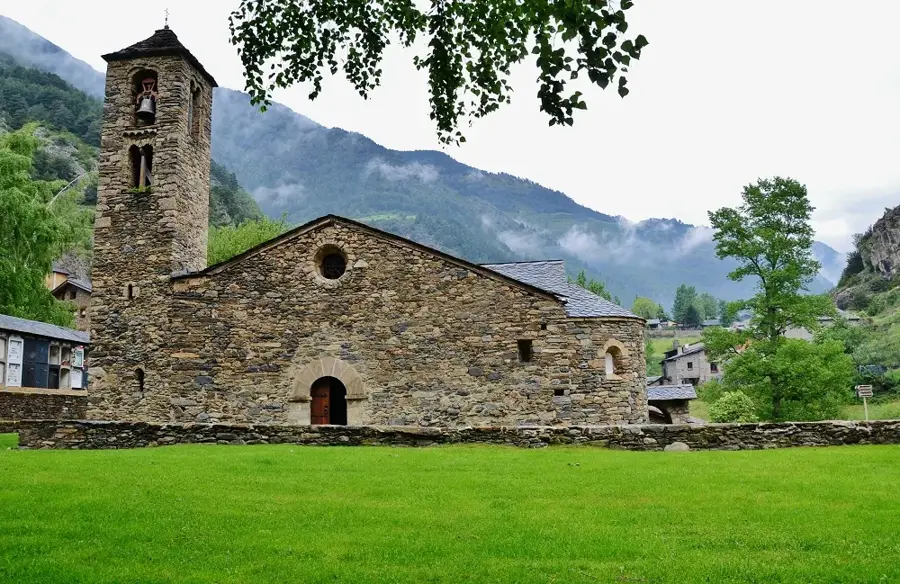
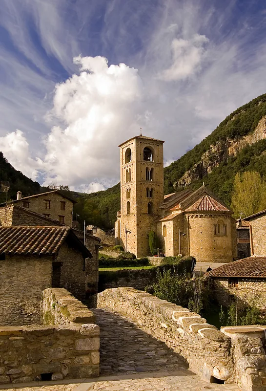
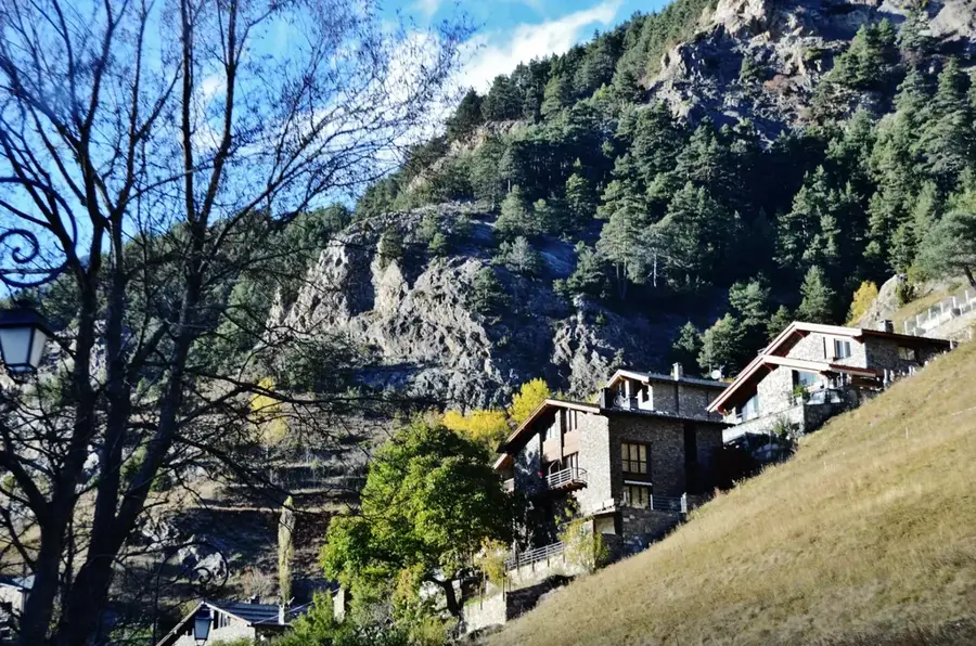
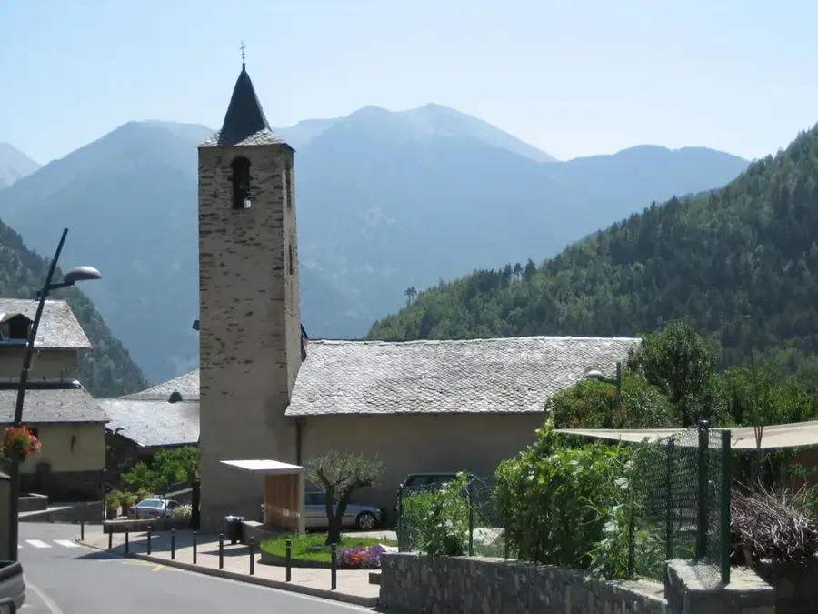
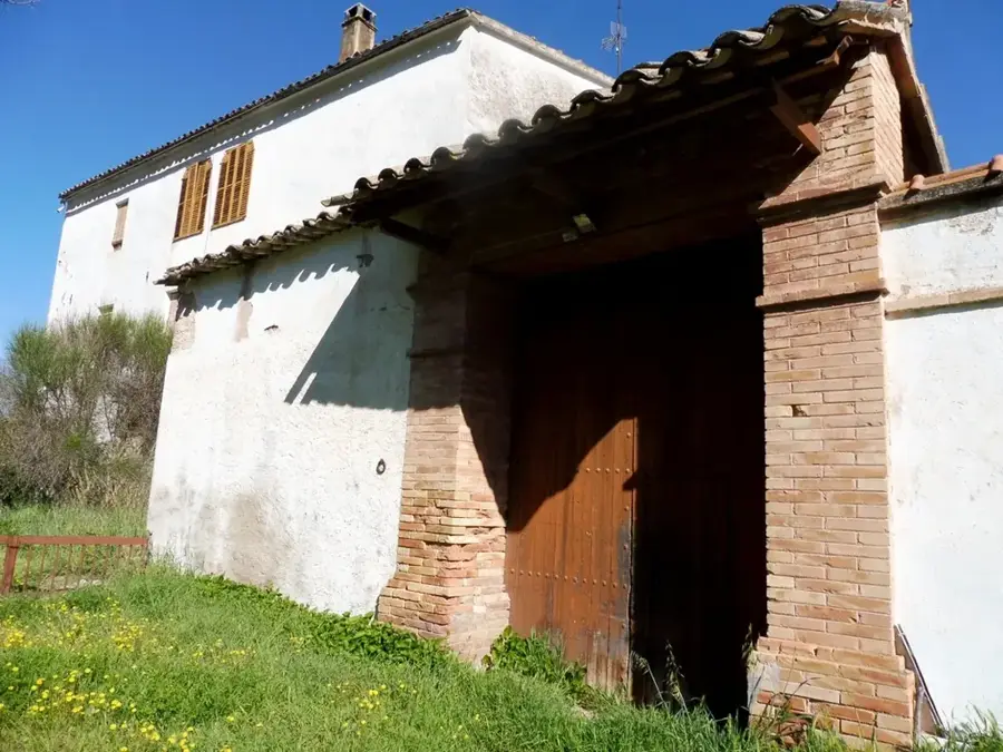
Sant Andreu d'Arinsal
Church building in Arinsal, Andorra, in Romanesque style.
Sights nearby
Frequently asked questions
Is the climb difficult?
How high is the mountain?
Is there a mountain hut?
When is the best time?
How long does the tour take?
Coma Pedrosa: where is it located?
Coma Pedrosa: what is there to see?
Coma Pedrosa: when is the best time to visit?
Coma Pedrosa: why is it worth visiting?

Nearby cities

Nature
More places