Plizio Visual Lab
Pic de Cataperdis
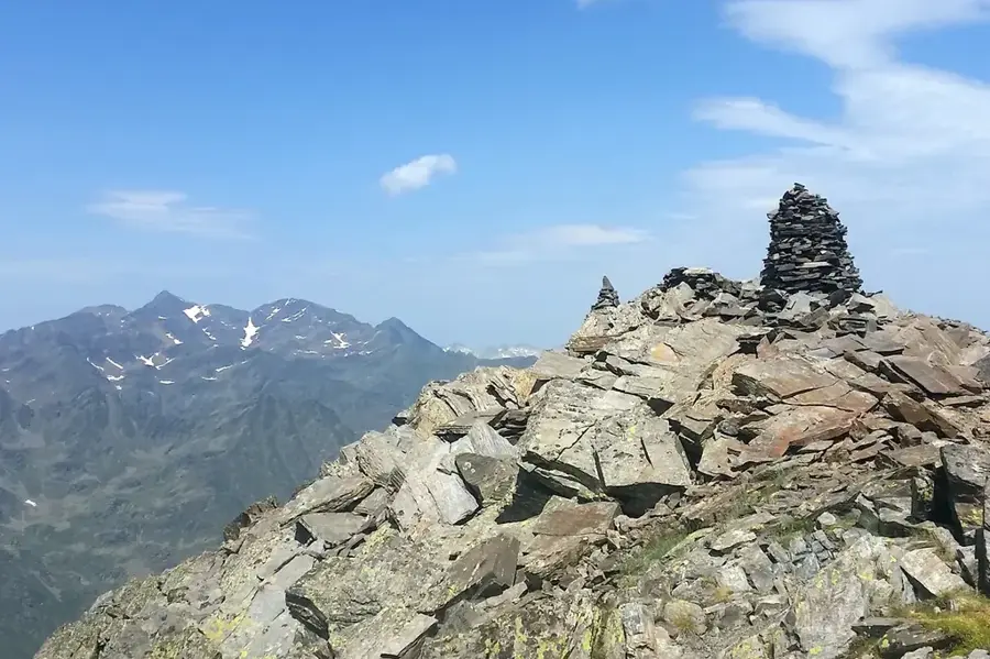
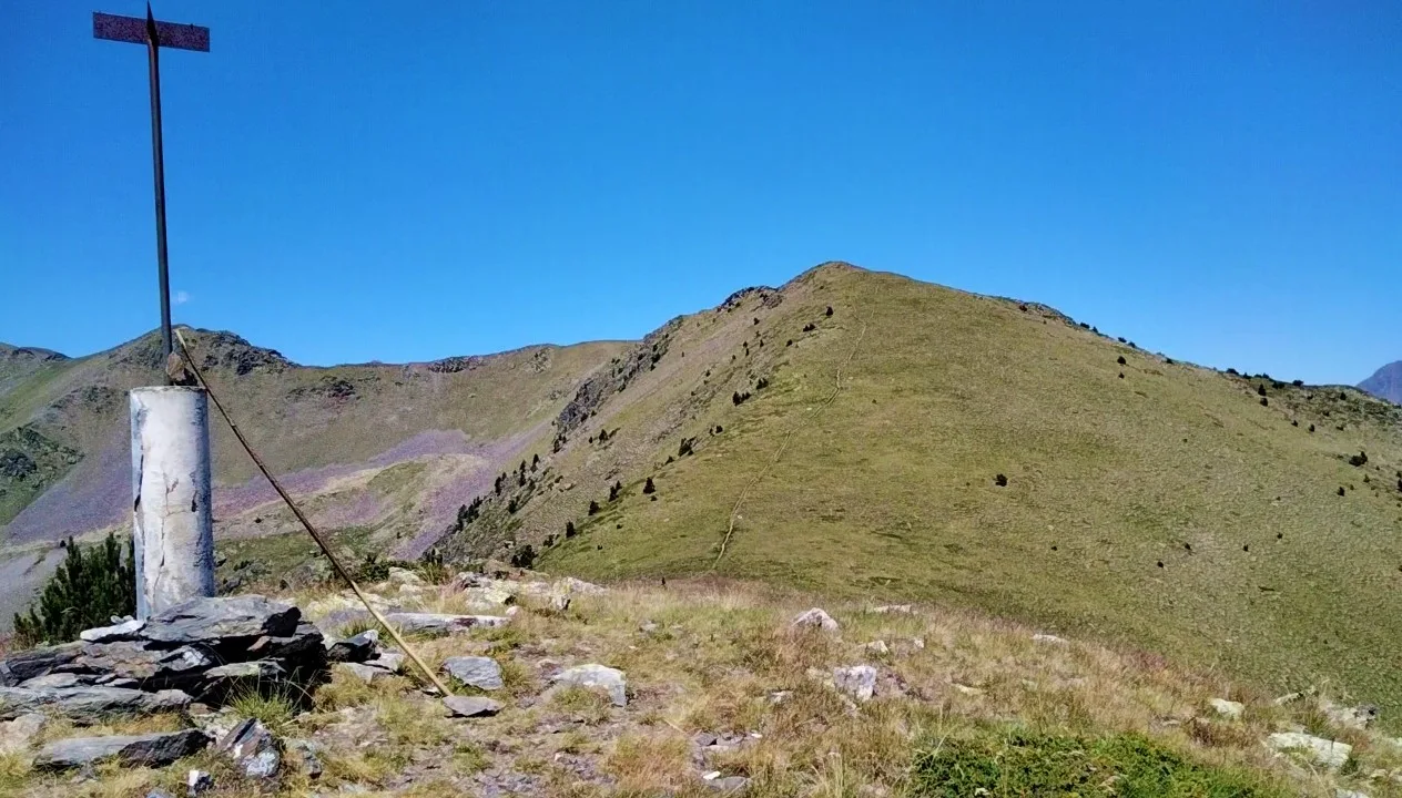
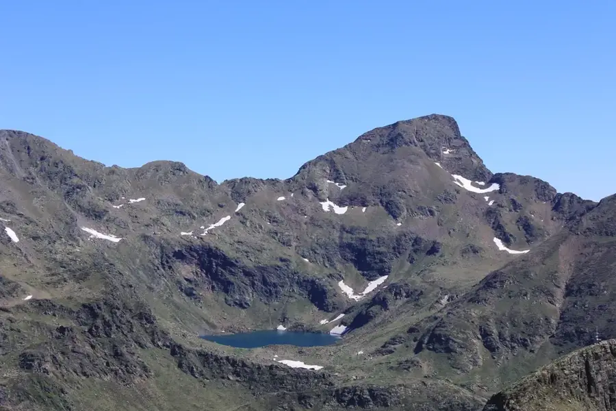
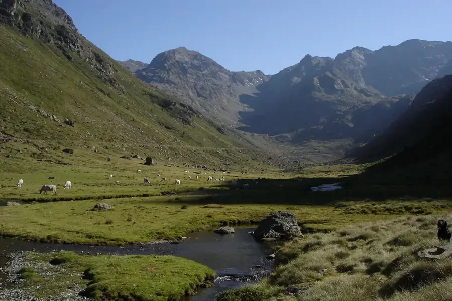
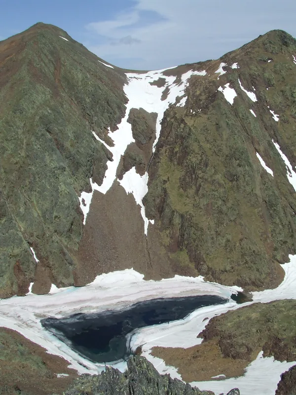
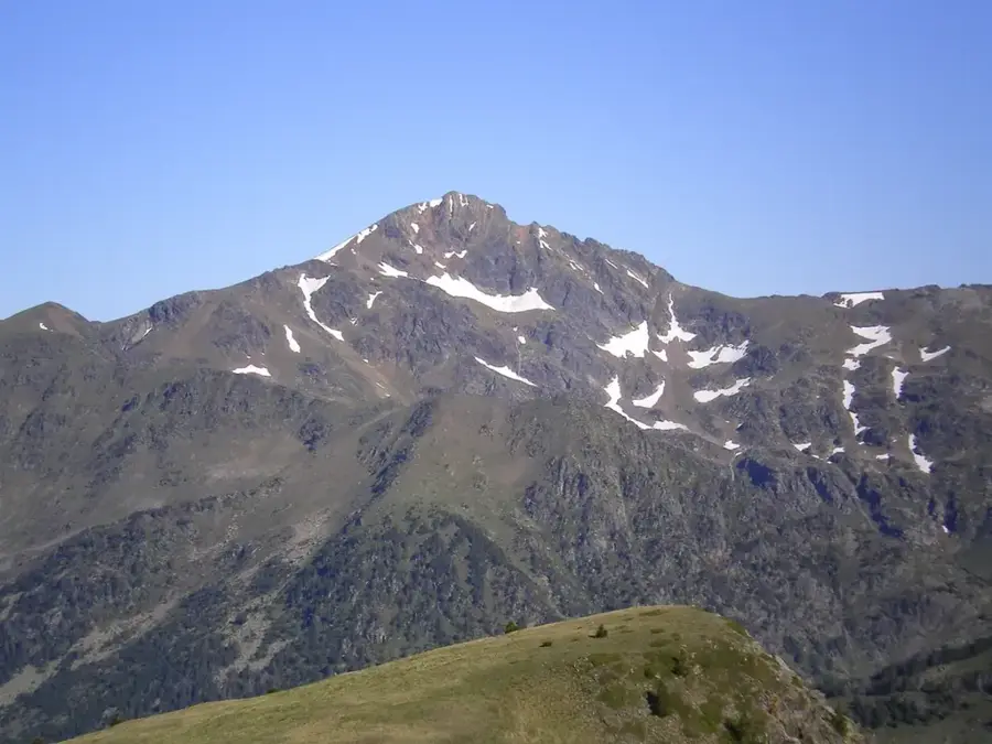
Pic de Cataperdis is an impressive mountain in northern Andorra, reaching an elevation of 2,805 meters. It is located in the Arcalís area of the parish of Ordino, a region known for its wild landscapes and steep slopes. The mountain forms part of a ridge that marks the natural border between Andorra and France. The ascent is often made via Port de Rat, a historical mountain pass of significant local importance. Geologically, Pic de Cataperdis is characterized by metamorphic rocks uplifted during the Pyrenean orogeny in the Tertiary period. From its summit, hikers can enjoy spectacular views of the Tristaina cirque and its lakes, as well as the French department of Ariège. The fauna includes rare species such as the wallcreeper and the rock ptarmigan, which nest in the rocky crevices of the mountain. The area is prone to avalanches in winter but provides premier conditions for mountain trekking during the summer season.
- Location: Andorra
- Top sights: Pic d'Arcalís · Pic de Cataperdis · Pic de l'Angonella
- Nearby: Arans (4 km)
Best time to visit & climate
The most pleasant time to visit is Jun–Aug.
| Jan | Feb | Mar | Apr | May | Jun | Jul | Aug | Sep | Oct | Nov | Dec | |
|---|---|---|---|---|---|---|---|---|---|---|---|---|
| Avg °C | -2 | -2 | 1 | 5 | 9 | 14 | 16 | 16 | 12 | 8 | 2 | -1 |
| Rain mm | 60 | 48 | 57 | 71 | 77 | 52 | 46 | 47 | 50 | 64 | 70 | 49 |
📋 Practical info
Geography
Facts
- Elevation of 2,805 meters
- Located in Arcalís region
- Border peak with France
- Views of Tristaina lakes
- Accessed via Port de Rat
- Uplifted during Tertiary period
Explore nearby
Notable places around
Route planner — Car & Motorhome
Where do you start? We build the route here, with stops and country notes along the way.
© OpenStreetMap contributors · OpenRouteService
Sights in the town Pic de Cataperdis (4)
Pic de l'Angonella
Border peak between France and Andorra in the Pyrenees.
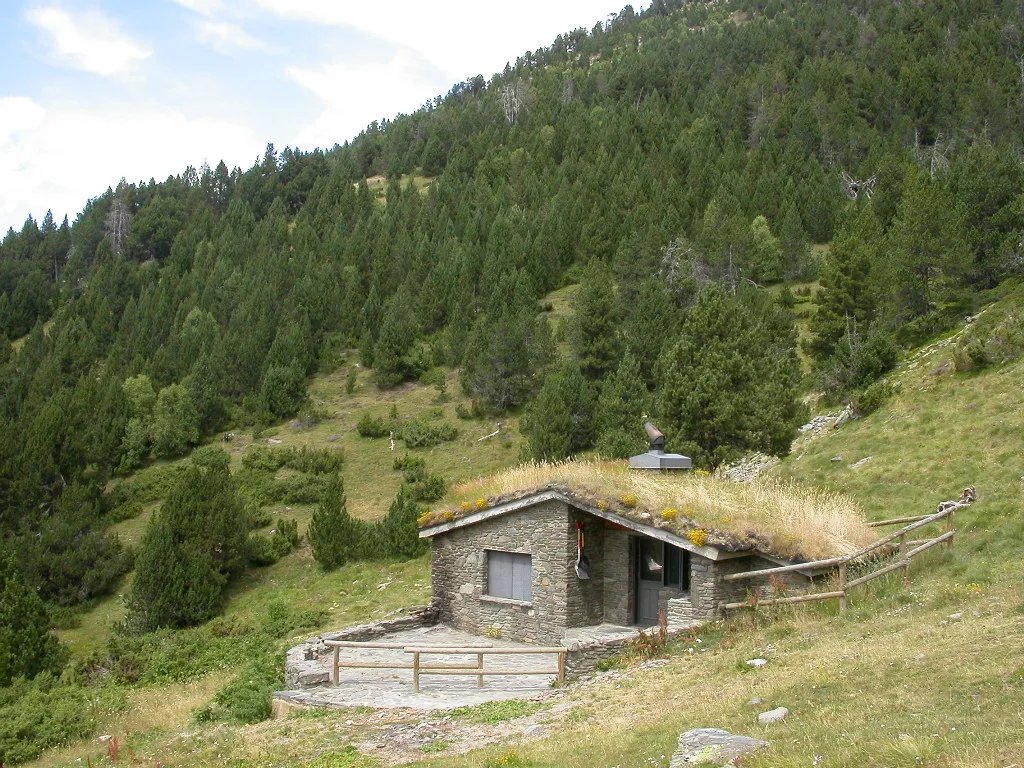
Mirador Solar de Tristaina
Viewpoint offering views of the surrounding mountains and valleys.
Sights nearby
Frequently asked questions
How high is Pic de Cataperdis?
Where does the hike start from?
Is the trail marked?
Are there lakes on the way?
What does the name 'Cataperdis' mean?
Pic de Cataperdis: where is it located?
Pic de Cataperdis: what is there to see?
Pic de Cataperdis: when is the best time to visit?
Pic de Cataperdis: why is it worth visiting?

Nature
More places