Plizio Visual Lab
Pic de Casamanya
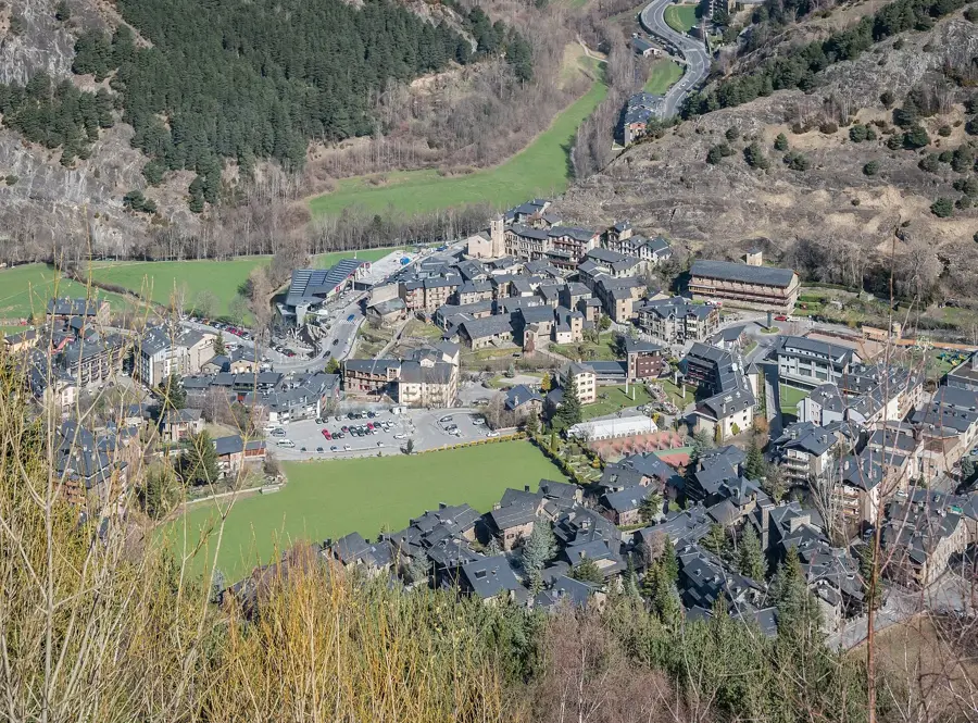
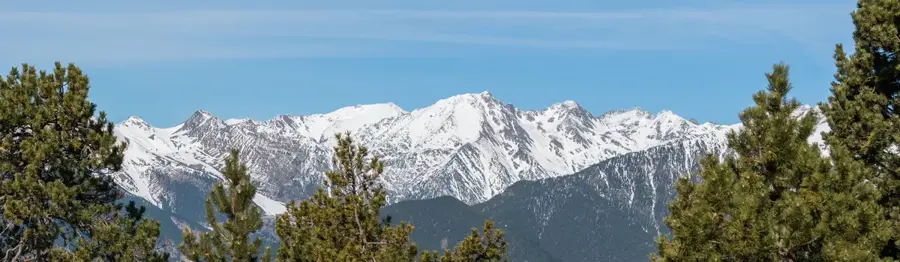
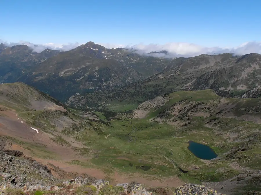
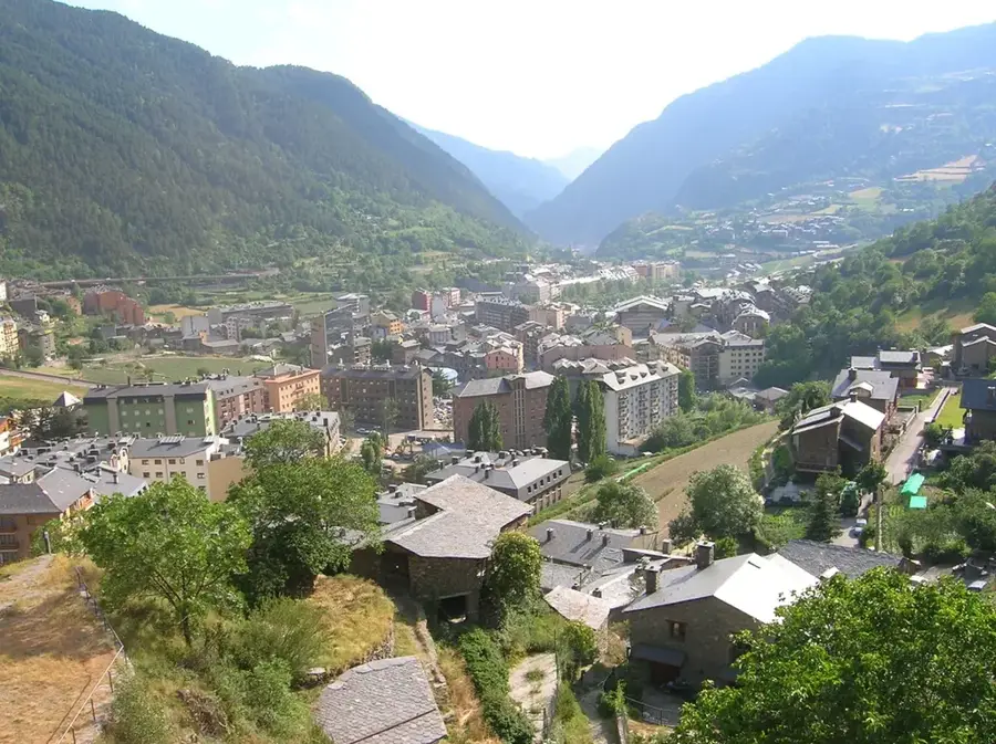
Pic de Casamanya is a prominent mountain located in the geographical center of Andorra, standing as a natural boundary between the parishes of Ordino and Canillo. Reaching an elevation of 2,740 meters, it is one of the most iconic peaks in the Principality due to its central location and distinctive profile. The geology of the mountain is primarily composed of limestone, which dates back to the Devonian period, providing a rugged texture to its slopes. Casamanya is composed of three distinct summits: the South Peak, the Middle Peak, and the North Peak. The ascent is popular among hikers because it gives a 360-degree panoramic view of the entire country and the surrounding Pyrenean massifs. Despite its high altitude, the trails are relatively accessible during the summer months, making it a favorite for both locals and tourists. The peak serves as an excellent vantage point for observing the diverse high-mountain flora and fauna characteristic of the region.
- Location: Andorra
- Top sights: Font de la Navina · Bony de les Neres · Coll d'Ordino
- Nearby: Prats (4 km)
Best time to visit & climate
The most pleasant time to visit is Jun–Aug.
| Jan | Feb | Mar | Apr | May | Jun | Jul | Aug | Sep | Oct | Nov | Dec | |
|---|---|---|---|---|---|---|---|---|---|---|---|---|
| Avg °C | -2 | -2 | 1 | 5 | 9 | 14 | 16 | 16 | 12 | 8 | 2 | -1 |
| Rain mm | 60 | 48 | 57 | 71 | 77 | 52 | 46 | 47 | 50 | 64 | 70 | 49 |
📋 Practical info
Geography
Facts
- Peak elevation of 2,740 meters above sea level.
- Composed primarily of limestone from the Devonian period.
- Consists of three summits: South, Middle, and North.
- Located on the ridge separating Ordino and Canillo.
- Offers a 360-degree panoramic view of the Pyrenees.
- The mountain features relatively accessible hiking trails.
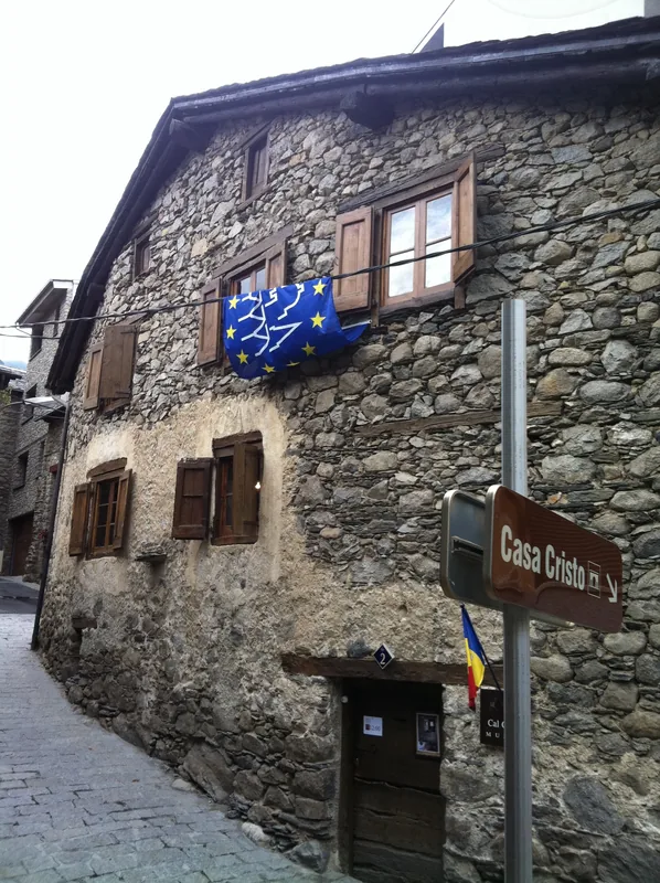
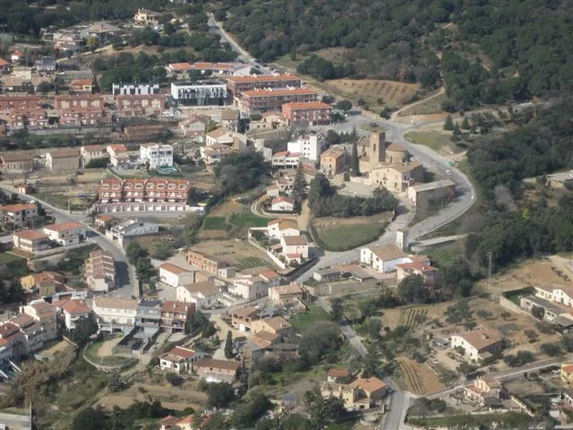
Explore nearby
Notable places around
Route planner — Car & Motorhome
Where do you start? We build the route here, with stops and country notes along the way.
© OpenStreetMap contributors · OpenRouteService
Sights in the town Pic de Casamanya (10)
Mirador d'Ordino
Viewpoint overlooking Ordino and the surrounding valleys.
Cascada del Riu d'Urina
Waterfall on the Urina river near Ordino, Andorra.
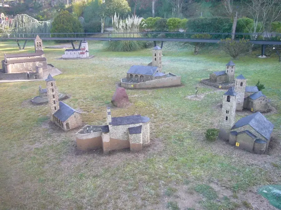
Museu d'Art Sacre🏛 museum
Museum of sacred art in Andorra.
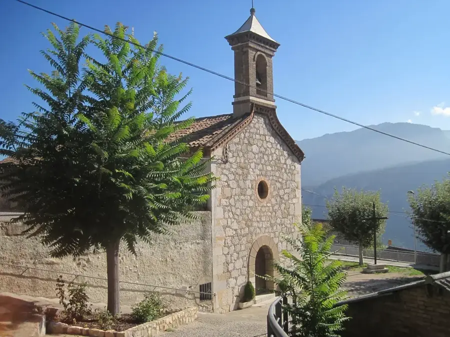
Santa Eulàlia
Church in Encamp, Andorra.
Sant Romà de Vila
Church building in Encamp, Andorra.
Mirador del Toll Bullidor
Viewpoint near Encamp, Andorra.
Sights nearby
Frequently asked questions
How high is the peak?
Is the hike difficult?
How long does the ascent take?
What can you see from the peak?
When is the best time for the hike?
Pic de Casamanya: where is it located?
Pic de Casamanya: what is there to see?
Pic de Casamanya: when is the best time to visit?
Pic de Casamanya: why is it worth visiting?

History & landmarks

Nature
More places