Plizio Visual Lab
Pic de Medacorba
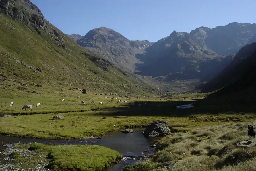
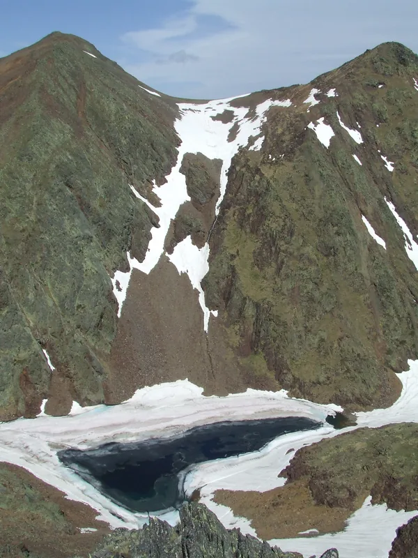
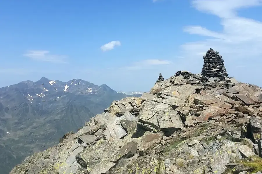
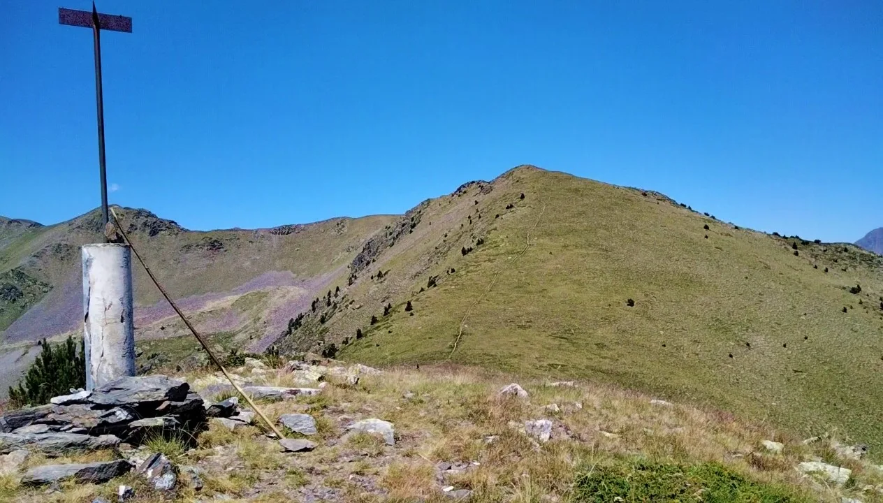
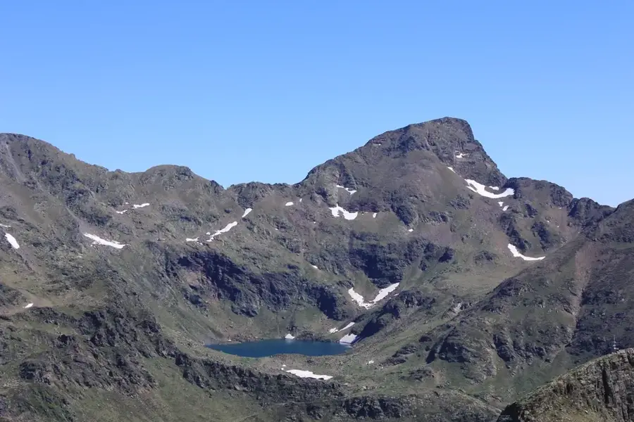
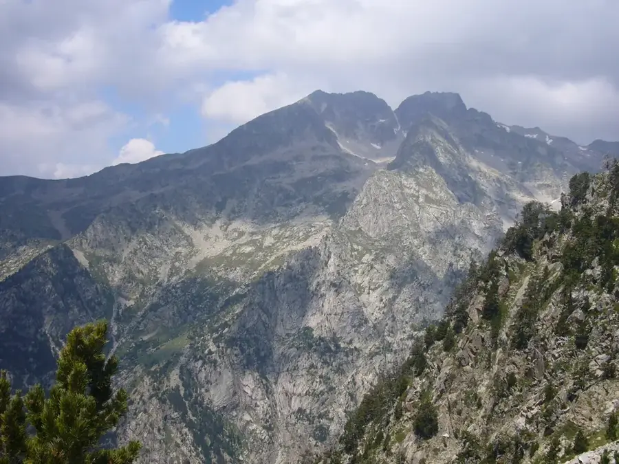
Pic de Medacorba is a majestic peak standing at 2,914 meters and represents the geographical tripoint where the borders of Andorra, France, and Spain meet. Located in northwestern Andorra within the Comapedrosa Natural Park, the mountain is composed of a complex mix of metamorphic rocks and granite, giving it a rugged and imposing silhouette. Climbing to the summit is technically demanding and requires experience in alpine terrain, yet it rewards hikers with an incomparable panoramic view across the entire Pyrenean range. The flora is dominated by alpine cushion plants and lichens, while the slopes are home to chamois and golden eagles. Historically, the peak has been a crucial reference point for border demarcations and scientific surveys since the 19th century. As part of a natural park, Pic de Medacorba is under strict protection to ensure the integrity of its high-alpine ecosystems and the rare species that inhabit them.
- Location: Andorra
- Top sights: Pic de Médécourbe · Pic de Lavans · Roca Entravessada
- Nearby: Riu de Tristaina (5 km)
Best time to visit & climate
The most pleasant time to visit is Jun–Aug.
| Jan | Feb | Mar | Apr | May | Jun | Jul | Aug | Sep | Oct | Nov | Dec | |
|---|---|---|---|---|---|---|---|---|---|---|---|---|
| Avg °C | -2 | -2 | 1 | 5 | 9 | 14 | 16 | 16 | 12 | 8 | 2 | -1 |
| Rain mm | 60 | 48 | 57 | 71 | 77 | 52 | 46 | 47 | 50 | 64 | 70 | 49 |
📋 Practical info
Geography
Facts
- At 2,914 meters, it is the third highest peak in the country of Andorra.
- It serves as the international tripoint for Andorra, Spain, and France.
- The summit is located within the Comapedrosa Natural Park boundaries.
- Geologically, the mountain consists of a mix of granite and schist.
- It is a key landmark along the trans-Pyrenean GR11 hiking trail.
- The climb is often integrated with a trek to the nearby Pic de Comapedrosa.
Explore nearby
Notable places around
Route planner — Car & Motorhome
Where do you start? We build the route here, with stops and country notes along the way.
© OpenStreetMap contributors · OpenRouteService
Sights in the town Pic de Medacorba (5)
Roca Entravessada
Roca Entravessada is a mountain in Andorra, a peak in the Pyrenees.
Sights nearby
Frequently asked questions
Why is this peak geographically important?
How difficult is the climb?
How high is Medacorba?
Where is the best starting point?
Are there climbing sections?
Pic de Medacorba: where is it located?
Pic de Medacorba: what is there to see?
Pic de Medacorba: when is the best time to visit?
Pic de Medacorba: why is it worth visiting?

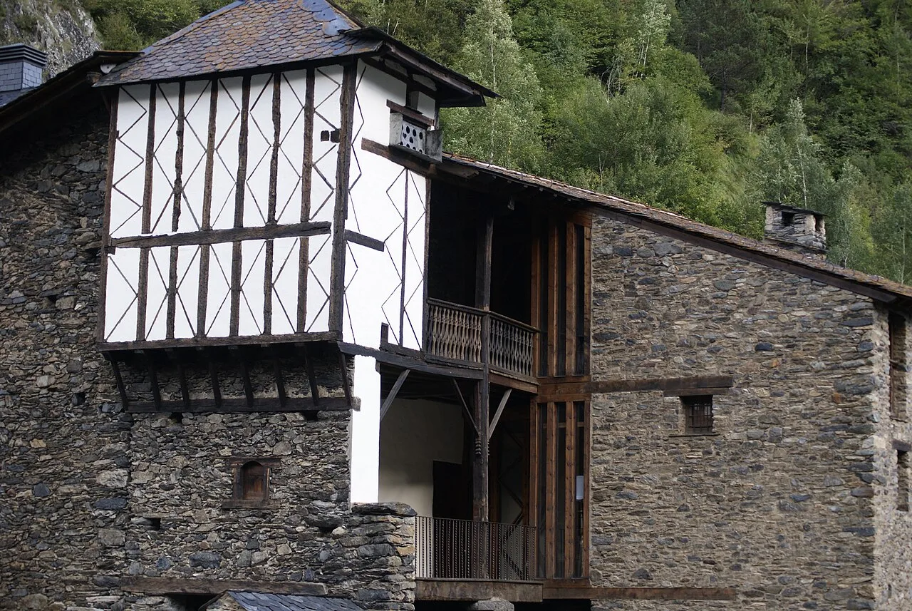
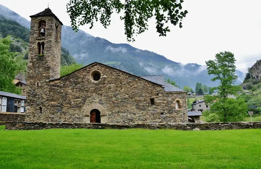
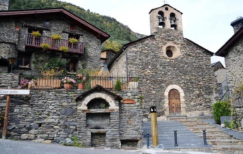
History & landmarks


Nature
More places