Plizio Visual Lab
Pic de la Capa
Weather…
Water temperature…
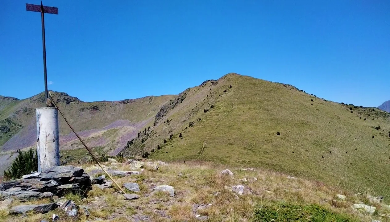
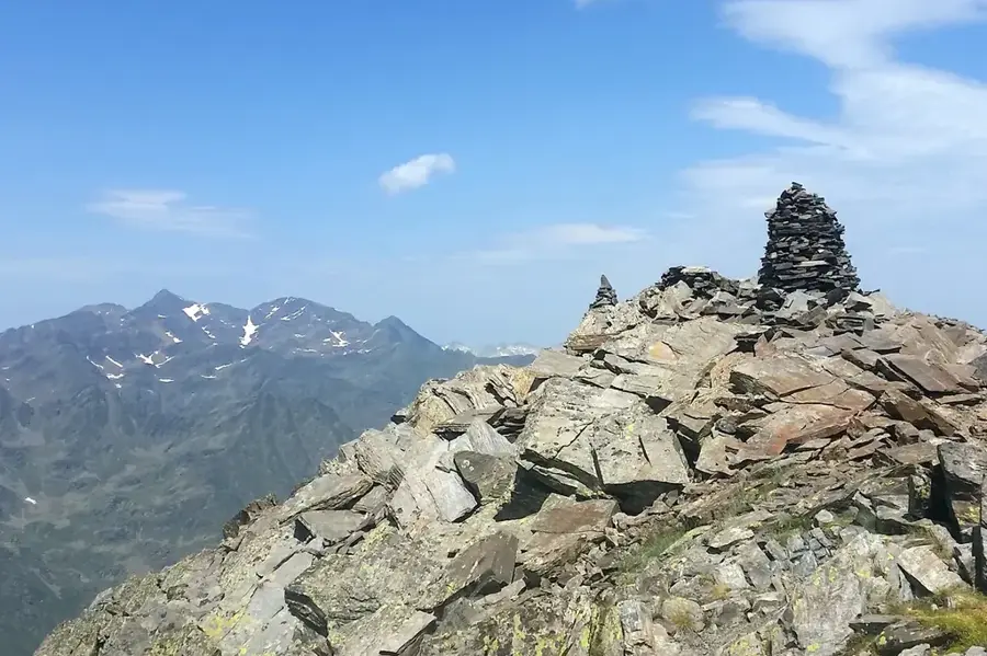
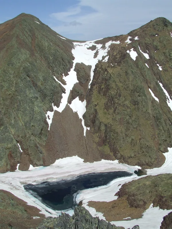
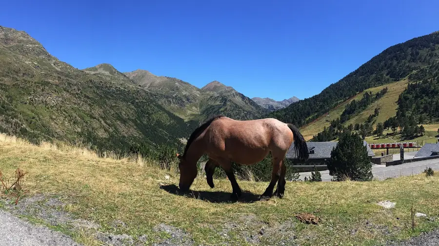
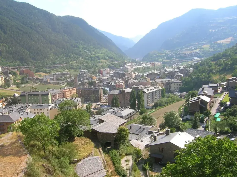
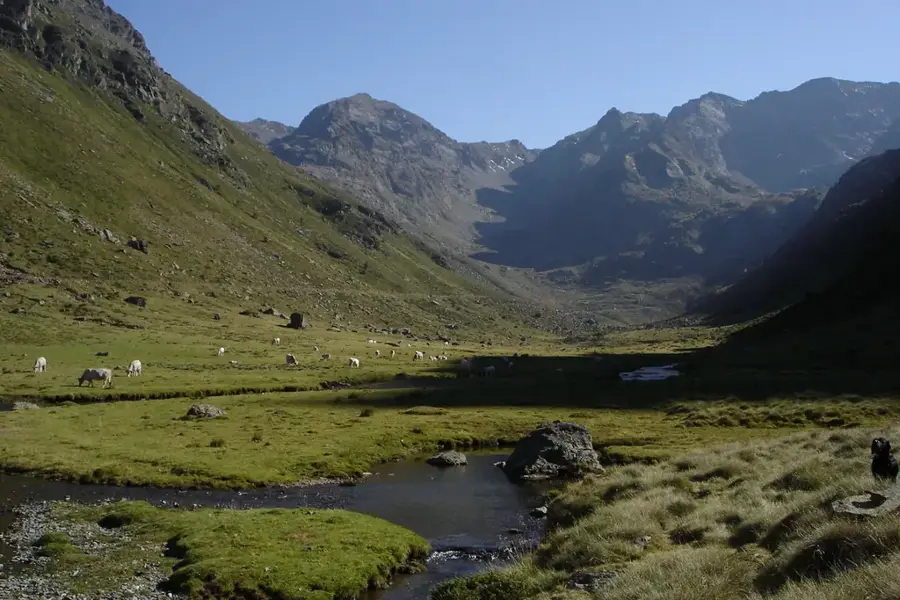
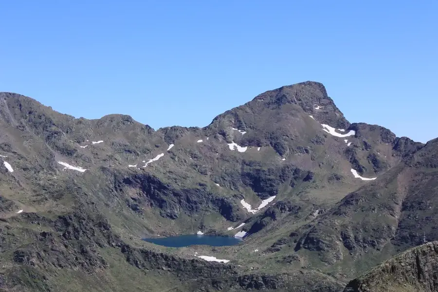
The Pic de la Capa is an elegantly shaped mountain peak in northwestern Andorra, rising to an altitude of 2,572 meters. It is situated within the Arinsal ski area and administratively belongs to the parish of La Massana. The mountain's geology is characterized by a mix of slate and quartzite, leading to a distinctive dark coloration of the rock. Due to its position, the summit provides one of the best vantage points for viewing the Comapedrosa massif and the deeply incised Arinsal valley. In winter, the mountain is a well-known destination for freeride skiers, while in summer it is accessible via well-marked hiking trails. Ecologically, the region is significant for the occurrence of the rare Pyrenean desman in the surrounding mountain streams. Culturally, Pic de la Capa is closely linked to the development of tourism and winter sports in Andorra.
- Location: Andorra
- Top sights: Pic del Clot del Cavall · Pic de Percanela · Pic de la Burna
- Nearby: Riu de Tristaina (4 km)
Best time to visit & climate
The most pleasant time to visit is Jun–Aug.
| Jan | Feb | Mar | Apr | May | Jun | Jul | Aug | Sep | Oct | Nov | Dec | |
|---|---|---|---|---|---|---|---|---|---|---|---|---|
| Avg °C | -2 | -2 | 1 | 5 | 9 | 14 | 16 | 16 | 12 | 8 | 2 | -1 |
| Rain mm | 60 | 48 | 57 | 71 | 77 | 52 | 46 | 47 | 50 | 64 | 70 | 49 |
📋 Practical info
Geography
Facts
- The official summit elevation is 2,572 meters.
- The mountain is located in the parish of La Massana.
- The name 'Capa' means 'cape' or 'layer' in Catalan.
- Geologically, dark Devonian slates dominate the structure.
- The peak is a popular destination for ski mountaineering.
- Nearby is the Coll de la Botella at 2,069 meters altitude.
Explore nearby
Notable places around
Route planner — Car & Motorhome
Where do you start? We build the route here, with stops and country notes along the way.
© OpenStreetMap contributors · OpenRouteService
Sights in the town Pic de la Capa (8)
Pic de la Burna
Mountain peak in Andorra, located in the parish of La Massana.
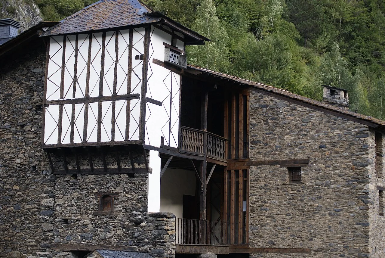
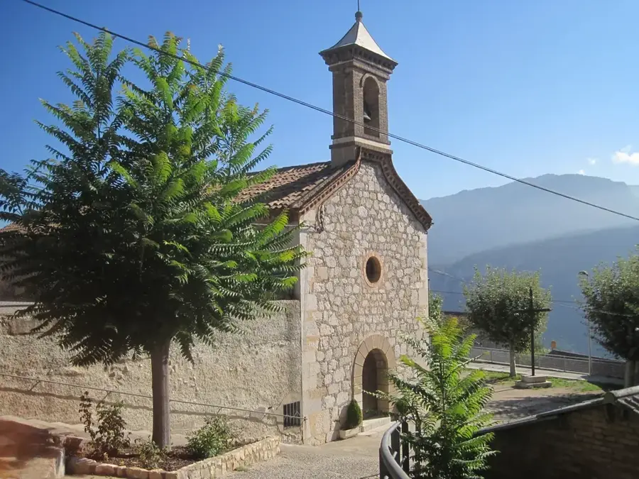
Sant Andreu d'Arinsal
Church building in Arinsal, Andorra, dedicated to Saint Andrew.
Parc Natural Comunal de les Valls del Comapedrosa
National park in Andorra, encompassing the Comapedrosa valley.
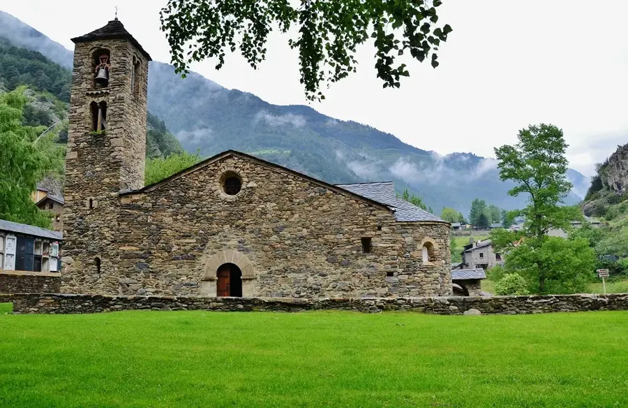
Església de Sant Martí de la Cortinada
Church building in La Cortinada, Andorra, dedicated to Saint Martin.
Mirador de la Roca de la Sabina
Viewpoint offering views of the surrounding mountain landscape.
Sights nearby
Frequently asked questions
How high is the peak?
Where does the hike start?
Is the trail marked?
How long is the ascent?
Do I need a permit?
Pic de la Capa: where is it located?
Pic de la Capa: what is there to see?
Pic de la Capa: when is the best time to visit?
Pic de la Capa: why is it worth visiting?

Nature
More places