Plizio Visual Lab
Shabelle
Weather…
Water temperature…
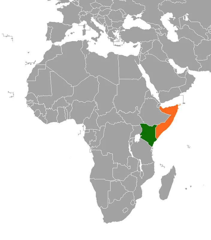
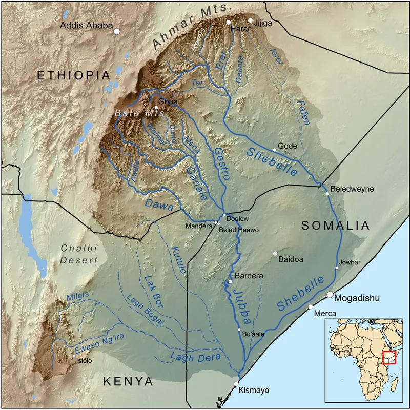
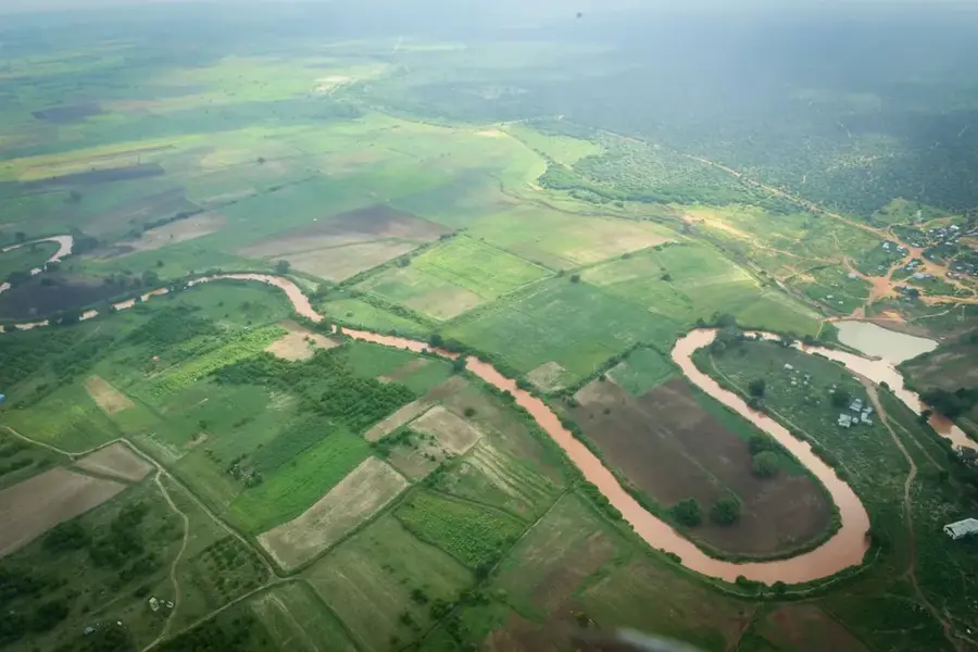
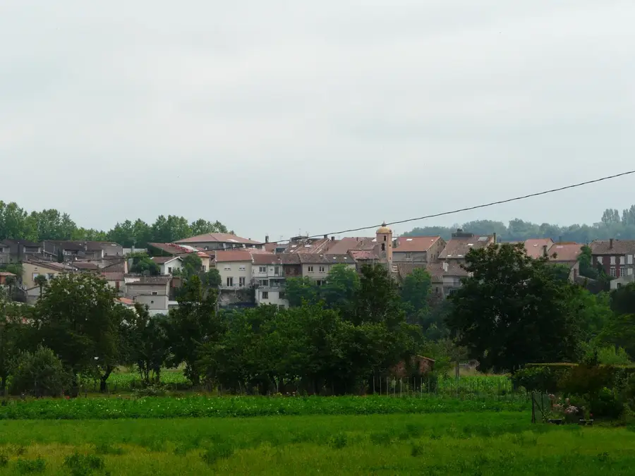
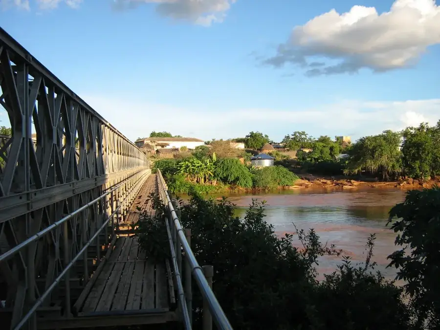
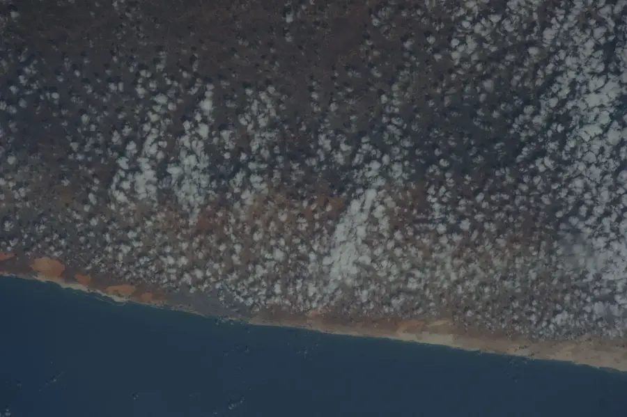
The Shabelle River originates in the Ethiopian Highlands and traverses over 1,100 kilometers through central and southern Somalia before terminating in the swampy plains near the Jubba River's mouth. It is the lifeblood of the most densely populated agricultural regions, including Hiiraan and the Shabelle provinces. Along its course, the river supports intensive cultivation, with hundreds of irrigation canals diverting water to fields of maize, sugarcane, and assorted vegetables. Unlike the Jubba, the Shabelle rarely reaches the Indian Ocean, as its waters often evaporate or are fully utilized for irrigation before hitting the coast. The riverbanks are dotted with major settlements such as Beletweyne and Jowhar, serving as historical centers of sedentary agriculture. Seasonal variability in the Shabelle's flow causes significant shifts in national food production and market stability.
- Location: Somalia
- Nearby: Bu'aale (47 km)
Best time to visit & climate
The most pleasant time to visit is Jul–Sep.
| Jan | Feb | Mar | Apr | May | Jun | Jul | Aug | Sep | Oct | Nov | Dec | |
|---|---|---|---|---|---|---|---|---|---|---|---|---|
| Avg °C | 29 | 30 | 30 | 29 | 28 | 27 | 27 | 27 | 28 | 28 | 28 | 28 |
| Rain mm | 8 | 3 | 23 | 165 | 87 | 36 | 15 | 21 | 18 | 112 | 125 | 41 |
📋 Practical info
Geography
Facts
- The name 'Shabelle' translates to 'Leopard' in the Somali language.
- The river runs parallel to the coast for about 30 km near Mogadishu.
- Beletweyne is the first major Somali town encountered by the river flow.
- During severe dry seasons, the lower reaches can dry up entirely.
- The Lower Shabelle region was historically the 'breadbasket' of East Africa.
- The river is a critical corridor for many migratory bird species.
Explore nearby
Notable places around
Route planner — Car & Motorhome
Where do you start? We build the route here, with stops and country notes along the way.
© OpenStreetMap contributors · OpenRouteService
Sights nearby
Frequently asked questions
What is the Shabelle river?
Can one swim in the river?
What is the water quality like?
Are there hiking trails along the banks?
What birds can one see?
Shabelle: where is it located?
Shabelle: when is the best time to visit?
Shabelle: why is it worth visiting?

Nearby cities
Nature
More places