Plizio Visual Lab
Pyrenees
Weather…
Water temperature…
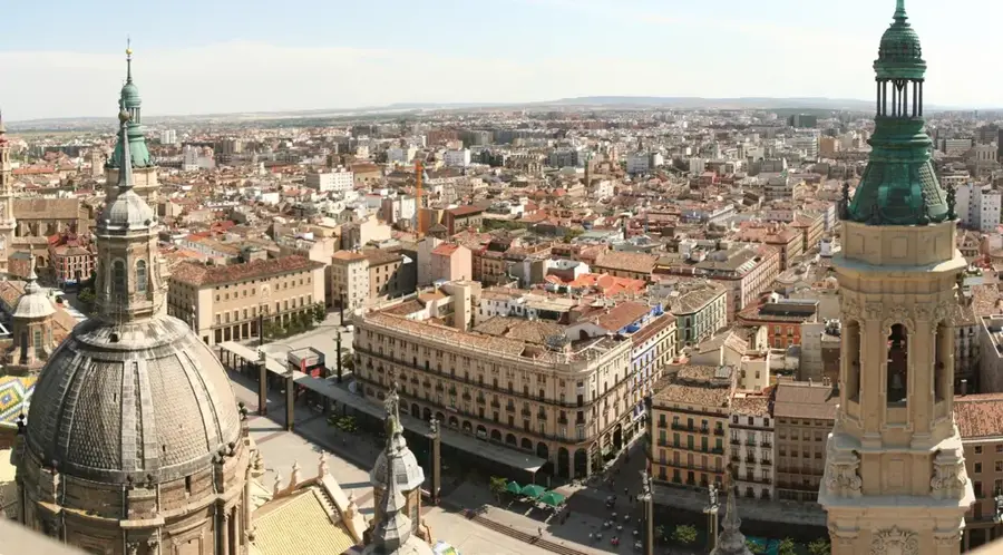
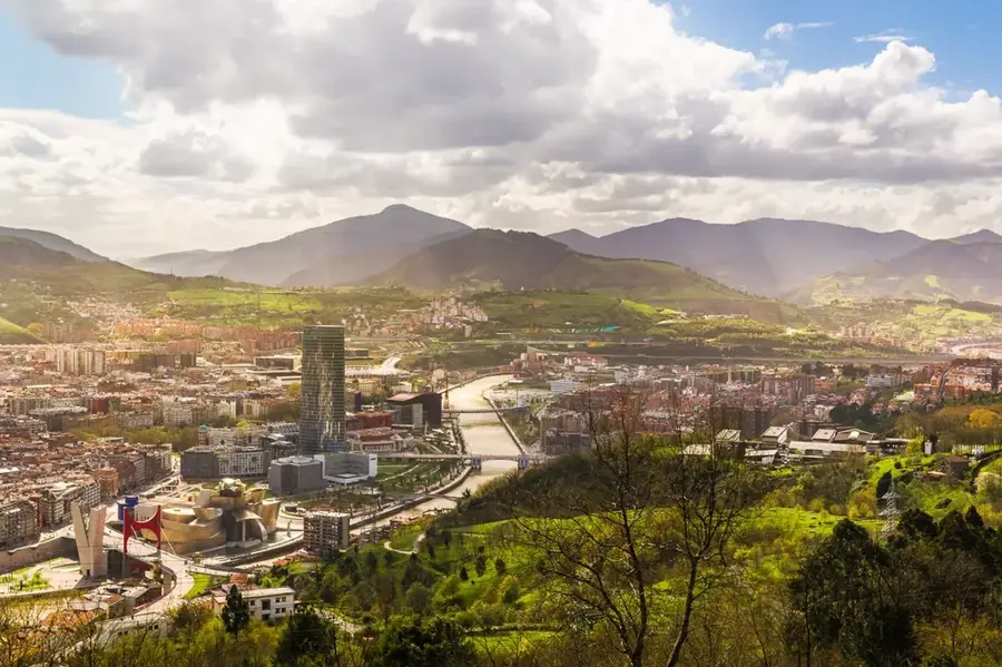
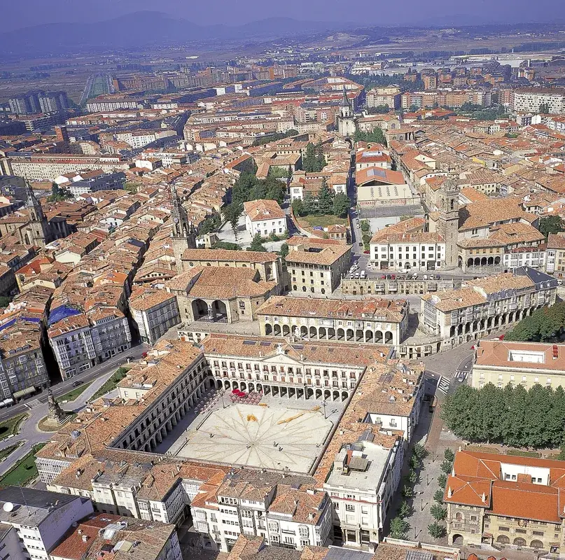
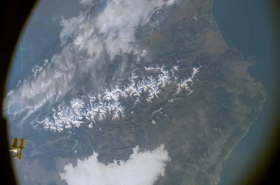
The Pyrenees form a massive natural barrier and a fascinating fold mountain range that effectively separates the Iberian Peninsula from the rest of the European continent. This mountain chain, measuring approximately 430 kilometers in length, stretches from the Bay of Biscay in the west all the way to the Mediterranean Sea in the east. Geologically, the Pyrenees were formed about 50 million years ago due to the massive collision of the Iberian Plate with the Eurasian Plate during the Alpine orogeny. Pico Aneto, located in the Maladeta massif within the Spanish province of Huesca, constitutes the highest elevation of the entire chain with its impressive height of 3404 meters. Besides the steep, rugged peaks, the Spanish side of the Pyrenees is characterized by extensive national parks, notably the famous Ordesa y Monte Perdido National Park, which is designated as a UNESCO World Heritage site. The region is also culturally significant, as its remote valleys have preserved ancient Romanesque architectural styles.
- Location: Galicia, Spain
- Top sights: Pic Roi · Pic d'Estany Roi · Pic del Cap d'Estany Roi
- Nearby: Caldes de Boí (5 km)
📋 Practical info
Geography
Explore nearby
Notable places around
Route planner — Car & Motorhome
Where do you start? We build the route here, with stops and country notes along the way.
© OpenStreetMap contributors · OpenRouteService
Sights in the town Pyrenees (3)
Sights nearby
Frequently asked questions
What is the highest peak in the Pyrenees?
Do the Pyrenees form a natural border?
Which national parks are located in the Pyrenees?
Are there glaciers there?
Can you cross the Pyrenees?
Pyrenees: where is it located?
Pyrenees: what is there to see?
Pyrenees: why is it worth visiting?

Nearby cities