Plizio Visual Lab
Jubba
Weather…
Water temperature…
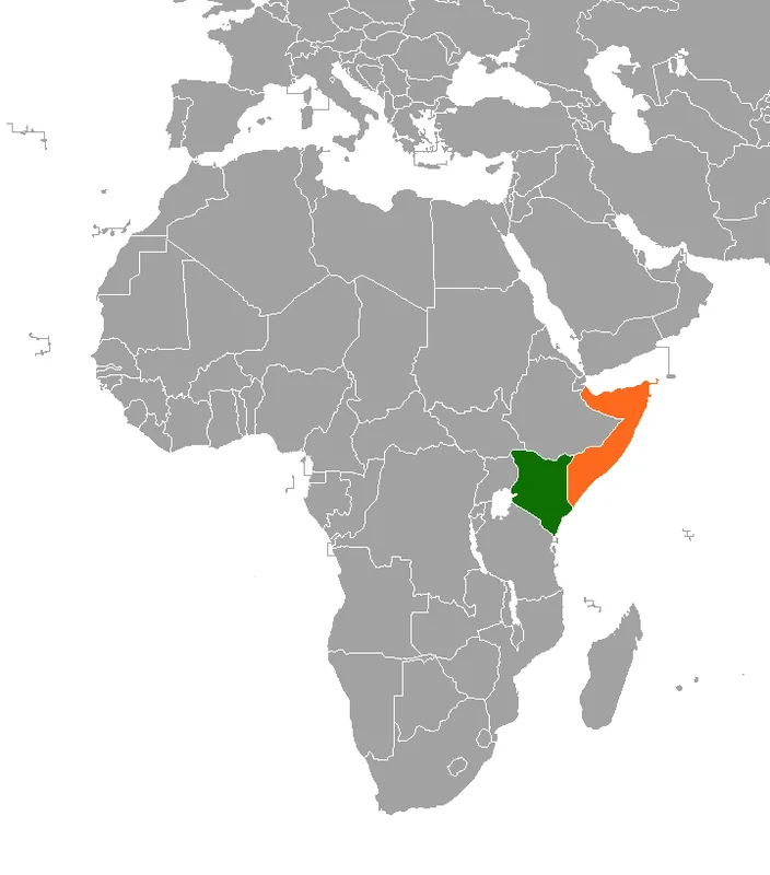
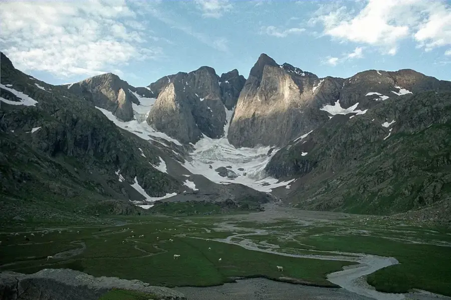
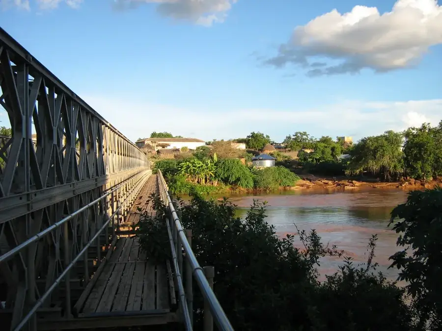
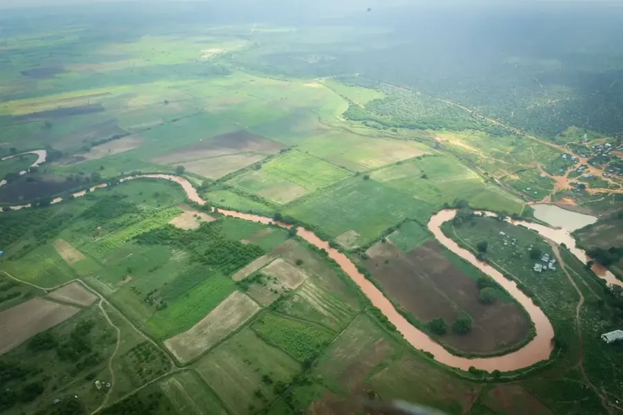
The Jubba River is Somalia's most vital perennial waterway, originating in the Ethiopian Highlands at the confluence of the Genale and Dawa rivers. Flowing southwards through the Gedo and Lower Jubba regions, it eventually empties into the Indian Ocean at Goobweyn, near Kismayo. The Jubba Valley serves as the nation's primary agricultural corridor, supporting large-scale irrigation for banana, maize, and citrus plantations due to its year-round flow. Ecologically, the river hosts diverse wildlife, including hippos and crocodiles, species that are scarce in Somalia's more arid landscapes. Historically, the river was an essential route for trade and exploration, once marking the boundary between British and Italian colonial spheres. Despite the risk of seasonal flooding during the rainy seasons, the Jubba remains the single most important resource for food security and economic activity in southern Somalia.
- Location: Somalia
- Nearby: Kismayo (22 km)
Best time to visit & climate
The most pleasant time to visit is Jul–Sep.
| Jan | Feb | Mar | Apr | May | Jun | Jul | Aug | Sep | Oct | Nov | Dec | |
|---|---|---|---|---|---|---|---|---|---|---|---|---|
| Avg °C | 29 | 29 | 30 | 29 | 28 | 27 | 26 | 26 | 27 | 28 | 28 | 29 |
| Rain mm | 7 | 3 | 19 | 127 | 120 | 63 | 33 | 24 | 18 | 71 | 83 | 37 |
📋 Practical info
Geography
Facts
- The Jubba River is approximately 1,000 kilometers long from its headwaters.
- Goobweyn is the unique location where the river meets the Indian Ocean.
- It is the only reliable source of surface water during extreme droughts.
- Large areas of the valley were developed for banana exports in the 1900s.
- The Jubba supports one of the few hippo populations in the Horn of Africa.
- The town of Luuq is built inside a dramatic meander of the river.
Explore nearby
Notable places around
Route planner — Car & Motorhome
Where do you start? We build the route here, with stops and country notes along the way.
© OpenStreetMap contributors · OpenRouteService
Sights nearby
Frequently asked questions
What makes the Jubba river special?
Can one navigate the river?
Are there dangerous animals there?
Is the area developed for tourism?
What is the best season?
Jubba: where is it located?
Jubba: when is the best time to visit?
Jubba: why is it worth visiting?

Nearby cities
History & landmarks
Nature
More places