Plizio Visual Lab
Pico Aneto
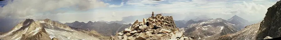
At an altitude of 3404 meters, Pico Aneto is the absolute pinnacle of the Pyrenees and the third-highest elevation in all of Spain, following Mount Teide in Tenerife and Mulhacén in Andalusia. This majestic peak is located in the Maladeta massif within the Aragonese province of Huesca, close to the French border. The mountain, composed of extremely hard granite, is renowned not only for its impressive height but also for the Aneto Glacier on its northern flank. This is the largest remaining glacier in Spain, although it is shrinking dramatically due to advancing global warming and is being closely monitored by scientists. The ascent to the summit is considered a classic challenge for mountaineers. The greatest hurdle on the standard route is the notorious "Pas des Mahomet" (Step of Muhammad), an extremely narrow, exposed rock ridge just before the actual summit, which drops off steeply for hundreds of meters on both sides.
- Location: Galicia, Spain
- Top sights: Tuca de Tempestats / Tuca Gran de Llosás · Tuca d'el Cabo de Barrancs · Tuc de Molières
- Nearby: Cerler (11 km)
Best time to visit & climate
The most pleasant time to visit is Jun–Aug.
| Jan | Feb | Mar | Apr | May | Jun | Jul | Aug | Sep | Oct | Nov | Dec | |
|---|---|---|---|---|---|---|---|---|---|---|---|---|
| Avg °C | -1 | -1 | 2 | 5 | 9 | 14 | 16 | 16 | 12 | 8 | 3 | 0 |
| Rain mm | 60 | 48 | 58 | 72 | 76 | 51 | 42 | 42 | 50 | 61 | 70 | 50 |
📋 Practical info
Geography
Explore nearby
Notable places around
Route planner — Car & Motorhome
Where do you start? We build the route here, with stops and country notes along the way.
© OpenStreetMap contributors · OpenRouteService
Sights in the town Pico Aneto (3)
Sights nearby
Frequently asked questions
Is Aneto the highest mountain in the Pyrenees?
Do you need special equipment?
What is the 'Pas de Mahomet'?
Where does the normal route start?
Is there still a glacier there?
Pico Aneto: where is it located?
Pico Aneto: what is there to see?
Pico Aneto: when is the best time to visit?
Pico Aneto: why is it worth visiting?

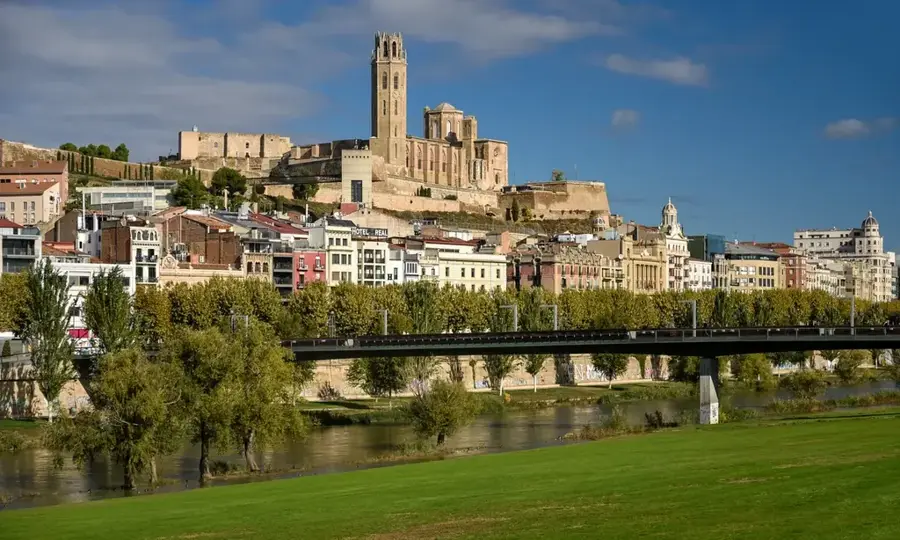
Nearby cities