Plizio Visual Lab
Plateau de Beille
Weather…
Water temperature…
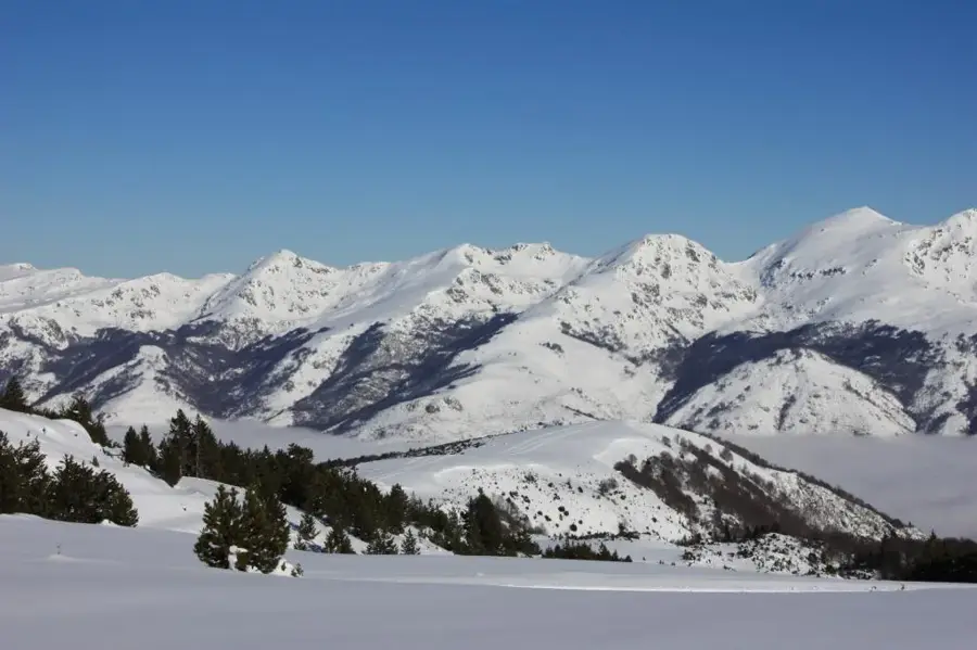
The Plateau de Beille is a prominent high-altitude plateau in the French Pyrenees, located in the Ariège department at an elevation of approximately 1,793 meters. Geographically situated between the Ariège valley and the Aston massif, it is primarily recognized as a major winter sports hub. It is regarded as the premier Nordic skiing destination in the Pyrenees, featuring over 70 kilometers of groomed trails within a pristine alpine environment. The plateau achieved international fame through professional cycling, serving as a prestigious mountain top finish for the Tour de France on several occasions since 1998. The climb from Les Cabannes is considered one of the most grueling in the Pyrenees, spanning 16 kilometers with an average gradient of nearly 8%. During the summer months, the area is used for high-altitude grazing of cattle and horses and acts as a starting point for extensive hiking trails. The site has spectacular 360-degree views of the surrounding Pyrenean peaks and valleys.
- Location: Occitanie, France
- Nearby: Ax-les-Thermes (17 km)
Best time to visit & climate
The most pleasant time to visit is Jun–Aug.
| Jan | Feb | Mar | Apr | May | Jun | Jul | Aug | Sep | Oct | Nov | Dec | |
|---|---|---|---|---|---|---|---|---|---|---|---|---|
| Avg °C | -2 | -2 | 1 | 5 | 9 | 14 | 16 | 16 | 12 | 8 | 2 | -1 |
| Rain mm | 60 | 48 | 57 | 71 | 77 | 52 | 46 | 47 | 50 | 64 | 70 | 49 |
📋 Practical info
Geography
Facts
- The plateau's average elevation is 1,793 meters.
- Marco Pantani won the first Tour de France stage held here in 1998.
- It offers 70 kilometers of marked cross-country skiing trails.
- The ascent from Les Cabannes gains 1,255 meters in elevation.
- A significant center for dog sledding in the Pyrenees region.
- Serves as a vast high-altitude pasture for livestock in summer.
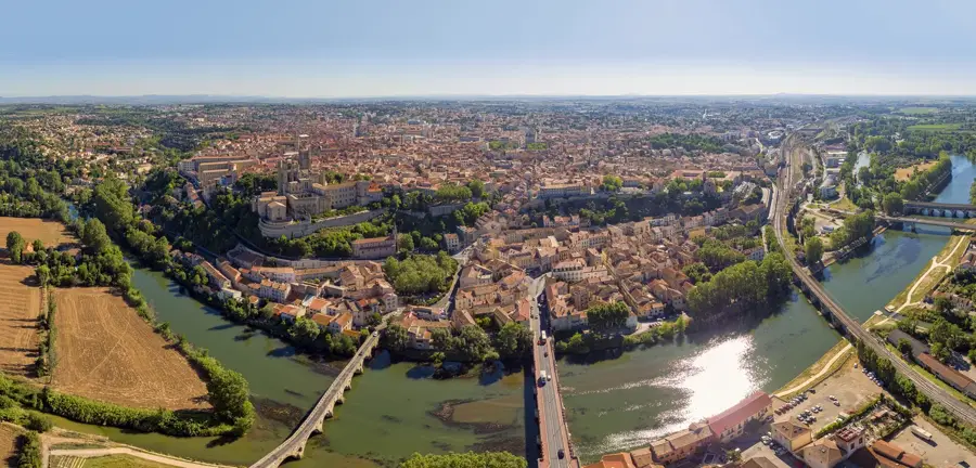
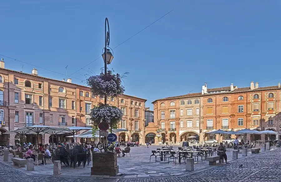
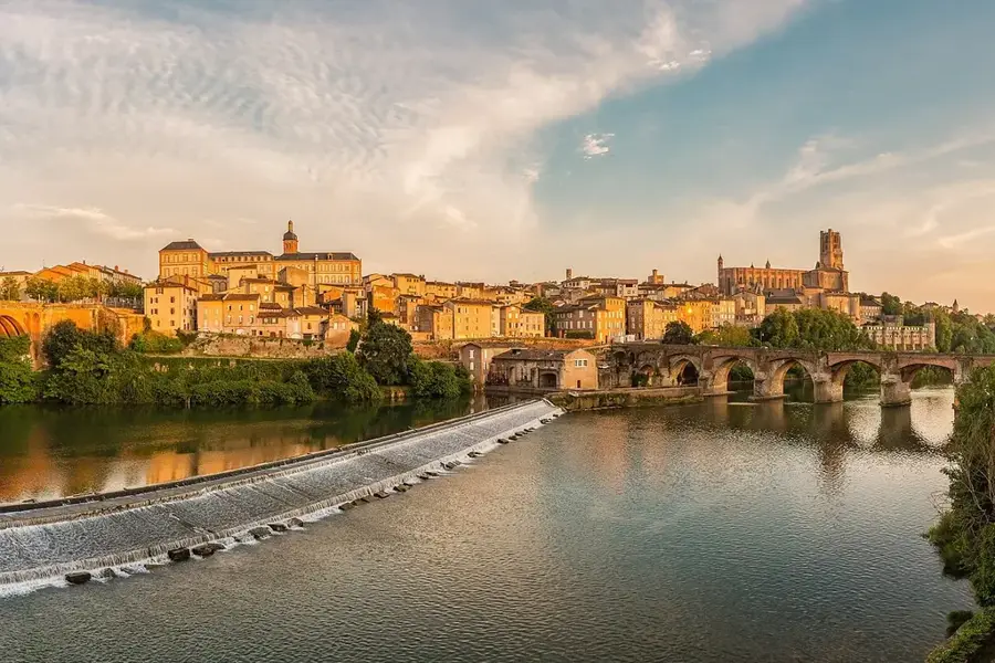
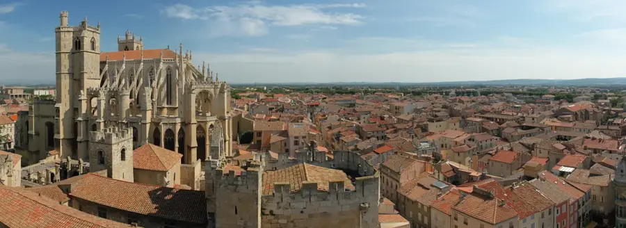
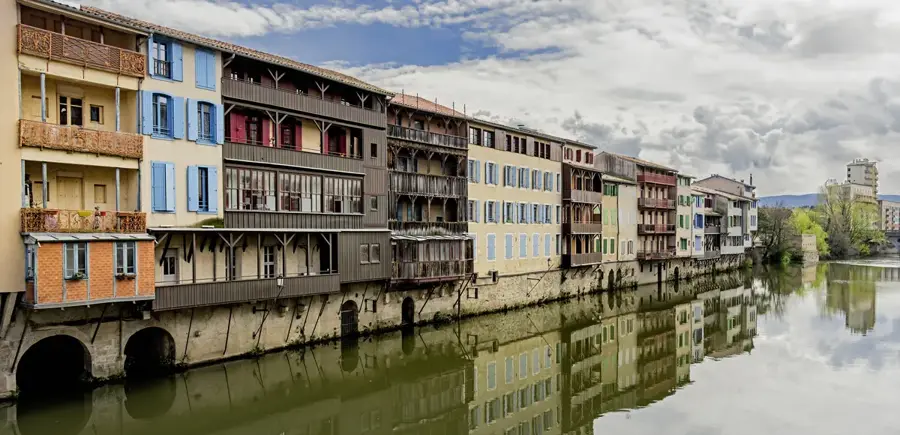
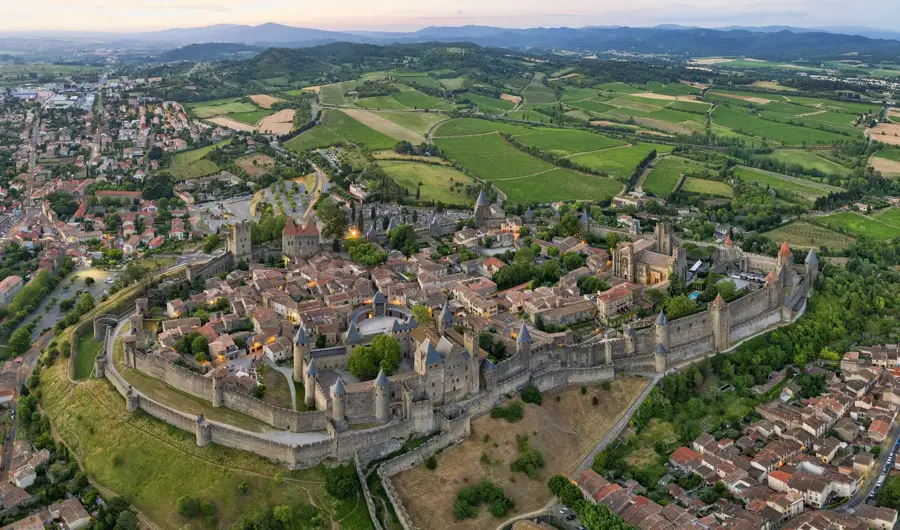
Explore nearby
Notable places around
Route planner — Car & Motorhome
Where do you start? We build the route here, with stops and country notes along the way.
© OpenStreetMap contributors · OpenRouteService
Sights in the town Plateau de Beille (1)
Sights nearby
Frequently asked questions
What is Plateau de Beille famous for in cycling?
What activities are offered in winter?
How high is the plateau?
Is there a good view there?
Where is the access to the plateau?
Plateau de Beille: where is it located?
Plateau de Beille: when is the best time to visit?
Plateau de Beille: why is it worth visiting?

Nearby cities