Plizio Visual Lab
Nairatonga-East
ℹ️Practical info — Nairatonga-East
▾
🌤 Weather — 5 days
📍 Nearby
Sights nearby
💡 Tips
- As part of a deeply traditional community, prioritize respect; always ask for guidance from locals before wandering around.
- The terrain can be muddy and uneven; sturdy footwear is highly recommended for exploring the eastern sections.
- Bring insect repellent and sun protection, as the climate is very humid and tropical.
- Gifts of practical items (like rice or stationery) for the village chief or host family are often appreciated as a sign of respect.
🍽 Food
Locals may prepare refreshing drinks using wild citrus found in the surrounding jungle.
Meals often include edible ferns or greens gathered daily from the forest.
A traditional festive dish made by pounding taro, occasionally prepared for guests or special occasions.
🛍 Shopping · 🧘 Quiet spots
The best way to acquire local crafts is by directly asking the families making them in the village.
Small roadside setups selling betel nuts, a highly popular local stimulant, though mostly for locals.
Small openings in the jungle offer a serene place to observe the dense canopy and listen to nature.
The shallow streams running through the eastern edge of the community are great for a quiet moment of reflection.
Water temperature…
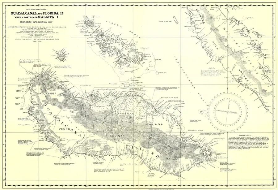
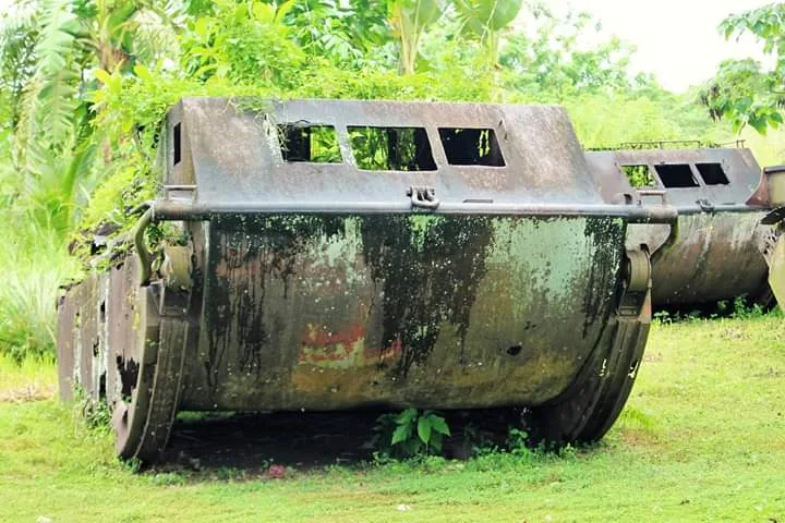
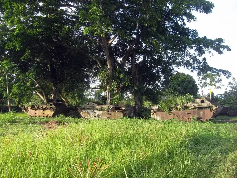
Nairatonga-East is located in Malaita Province, the most populous and culturally influential region of the Solomon Islands. This settlement exemplifies the traditional village structure of eastern Malaita, where land tenure and customary law (Kastom) remain the bedrock of social organization. Geographically, the terrain is characterized by steep ridges and fast-flowing streams that drain into the Pacific Ocean. Historically, Malaita was a primary source of labor during the 'blackbirding' era and later became a center for political movements seeking greater autonomy. The residents of Nairatonga-East primarily practice subsistence horticulture, focusing on staple crops like taro and yam, supplemented by artisanal reef fishing. Recently, the community has seen an increase in small-scale commercial activities, serving as a transit point for goods moving between the coast and inland villages. The village preserves ancient shell-money traditions, which are still used in ceremonial exchanges and bridewealth payments.
- Location: Solomon Islands
- Nearby: Rua Sura (10 km)
Best time to visit & climate
The most pleasant time to visit is Jul–Sep.
| Jan | Feb | Mar | Apr | May | Jun | Jul | Aug | Sep | Oct | Nov | Dec | |
|---|---|---|---|---|---|---|---|---|---|---|---|---|
| Avg °C | 28 | 28 | 28 | 28 | 28 | 27 | 27 | 27 | 27 | 27 | 28 | 28 |
| Rain mm | 271 | 312 | 284 | 222 | 244 | 155 | 155 | 131 | 130 | 182 | 182 | 239 |
Geography
Facts
- Located in the high-density Malaita Province.
- Subsistence farming of taro and yam is the primary livelihood.
- A stronghold of traditional Melanesian 'Kastom' values.
- Shell money is still produced and used for ceremonial purposes.
- Lacks connection to the centralized national power grid.
- Reliant on coastal tracks and small boats for logistics.
Explore nearby
Notable places around
Route planner — Car & Motorhome
Where do you start? We build the route here, with stops and country notes along the way.
© OpenStreetMap contributors · OpenRouteService
Frequently asked questions
How long to stay in Nairatonga-Ost?
Best time to visit?
How to reach?
What to eat there?
Is it family-friendly?
Nairatonga-East: where is it located?
Nairatonga-East: when is the best time to visit?
Nairatonga-East: why is it worth visiting?

Nearby cities


History & landmarks

Nature
More places